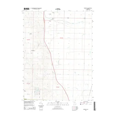
2014 Map of Kahoka SE
USGS Topo · Published 2014About this map
Winchester serves as the central hub of this Clark County landscape, where the transition from traditional through-routes to modern highway corridors is clearly visible. The path of Old Mo 61 and Barry Ln run parallel to newer transit lines, cutting across a drainage network defined by the Fox River and several local tributaries including Sugar Cr and Honey Cr. This 2014 survey records a high density of burial sites for a rural area, suggesting deep-rooted local family lineages and vanished church sites.
Find a feature on this map
30 named features on this map. Tap any name to fly to it.
Don’t see what you’re looking for? This feature index may not catch every label — zoom into the map to look around manually.
Map Details
Editions of this 2014 Kahoka SE Map
This is the sole edition of this map. No revisions or reprints were ever made.
Other maps of this area

1903 · Kahoka
USGS Topo · 1:125,000

1936 · Keokuk
USGS Topo · 1:62,500

1946 · Mendon
USGS Topo · 1:62,500

1948 · Mendon
USGS Topo · 1:62,500

1949 · Wayland
USGS Topo · 1:24,000

1949 · Kahoka SE
USGS Topo · 1:24,000

1949 · Kahoka
USGS Topo · 1:24,000

1949 · St. Patrick
USGS Topo · 1:24,000

1950 · Kahoka
USGS Topo · 1:24,000

1950 · Saint Patrick
USGS Topo · 1:24,000