2010s Maps of Lewis County, Missouri
Explore 57 historic maps of Lewis County from the 2010s. These maps offer a rare glimpse into what life looked like during the 2010s — showing old roads, neighborhoods, homes, and landmarks that have changed or disappeared over time.
Whether you're researching your family's past, planning a metal detecting trip, or studying how Lewis County's landscape evolved across the 2010s, these high-resolution maps are a powerful tool for exploring the history of this region.
- Focus on a specific era: All maps on this page are from the 2010s, giving you a focused view of this time period.
- See what’s changed: Compare century-old streets, trails, and buildings to today's modern landscape using overlays and satellite layers.
- Research with precision: Use these maps for genealogy, historical research, land use analysis, or educational projects.
- View, download, or print: Maps are fully viewable online in high resolution, and can be downloaded or printed for your own records.
Start exploring Lewis County's history through authentic maps from the 2010s. This is your window into the past.
Lewis County, MO maps
(57)- 2012 Map of Williamstown, 2012 Print
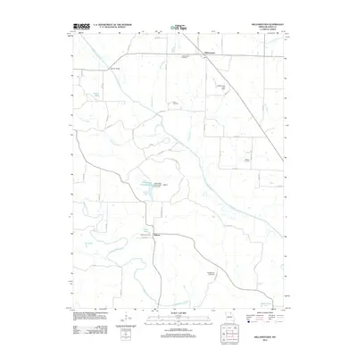 2012 Williamstown2012 Print · USGSIn the early twenty-first century, this portion of Lewis County remains a quiet network of river-fed valleys and small rural outposts. Researchers can trace family roots through Williamstown Cemetery and Midway Cemetery or explore the landmarks of the North Fabius River and Deer Ridge Wildlife Area.
 - 2012 Map of Deer Ridge, 2012 Print
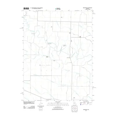 2012 Deer Ridge2012 Print · USGSNorthwestern Lewis County is defined by the winding Middle Fabius River and its rural settlements during the early twenty-first century. Researchers can trace local heritage through landmarks like Deer Ridge School, Parrish Bridge, and the Chapel Cemetery.
 - 2012 Map of Colony, 2012 Print
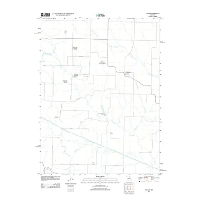 2012 Colony2012 Print · USGSKnox County's agricultural heartland is documented here in the early twenty-first century, showcasing a landscape of river valleys and watershed management. Researchers can locate family landmarks like Sutter Cemetery and Bailey Cemetery or trace the North Fabius River to Clapp's Ford.
 - 2012 Map of Lewistown, 2012 Print
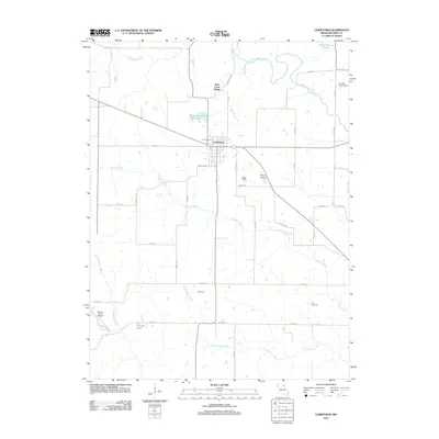 2012 Lewistown2012 Print · USGSLewistown and its surrounding rural townships appear here during the early twenty-first century, showcasing a landscape of family farms and prairie creeks. Researchers can trace land ties and local landmarks from Prim Cemetery to aviation sites like Sharpe Farms Airport.
 - 2012 Map of La Belle, 2012 Print
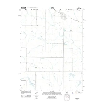 2012 La Belle2012 Print · USGSLewis County as it appeared in 2012 shows a resilient rural landscape centered on the settlement of La Belle. Researchers can trace local heritage at Woodland School, locate family plots at Washburn Cemetery, or follow the winding course of Troublesome Creek.
 - 2012 Map of Monticello, 2012 Print
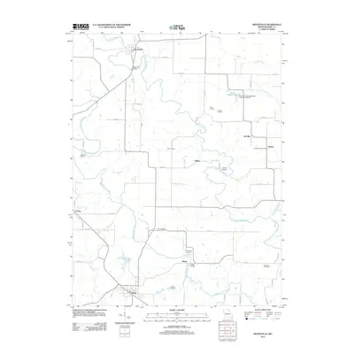 2012 Monticello2012 Print · USGSLewis County as it appeared in the early 2010s shows a landscape defined by the winding North and Middle Fabius Rivers. Researchers can trace rural lineages through the Durgens Creek Post Office, Pleasant Hill School, and numerous local burial grounds like Cason Cemetery.
 - 2012 Map of Saint Patrick, 2012 Print
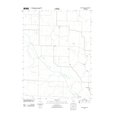 2012 Saint Patrick2012 Print · USGSClark County, Missouri, is captured here in the early twenty-first century, showing a landscape defined by meandering rivers and quiet country crossroads. Genealogists can trace family names through numerous local burial sites like Mitts Cemetery, Day Cemetery, and Bash Cemetery.
 - 2012 Map of Durham, 2012 Print
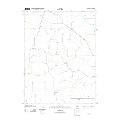 2012 Durham2012 Print · USGSMarion County's rural agricultural landscape is detailed here in the early twenty-first century, showing the enduring structure of its historic hamlets. Local historians can trace family roots through the Wagner Cemetery or explore small centers like Durham and Emerson.
 - 2012 Map of Nelsonville, 2012 Print
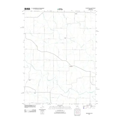 2012 Nelsonville2012 Print · USGSNelsonville and the surrounding Marion County farmland are captured here in the early twenty-first century. Researchers can locate family landmarks like the Methodist Cemetery or trace the winding courses of the South Fabius River and Troublesome Creek.
 - 2012 Map of Maywood, 2012 Print
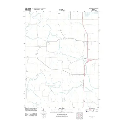 2012 Maywood2012 Print · USGSThe rural river valleys of northeast Missouri are captured here in the early twenty-first century, just as they meander toward the Mississippi. Genealogists and local historians can trace the positions of Maywood Cemetery, Hebron Cemetery, and Liberty Cemetery among the winding forks of the North Fabius River.
 - 2012 Map of La Grange, 2012 Print
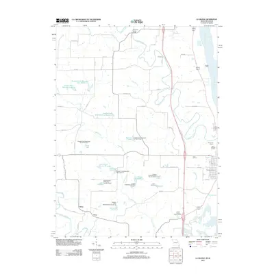 2012 La Grange2012 Print · USGSLewis County at the turn of the decade shows a landscape shaped by river commerce and rural industry along the Mississippi. Researchers can trace family history at Riverview Cemetery or locate old crossings like Gordon Ford and Durgans' Landing.
 - 2012 Map of Kahoka SE, 2012 Print
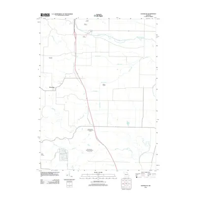 2012 Kahoka SE2012 Print · USGSNortheastern Missouri's rural farmland and river valleys are documented here during the early twenty-first century. Genealogists and local historians can locate several family burial sites like Frazee Cemetery or explore the development around Lake of the Oaks.
 - 2012 Map of Neeper, 2012 Print
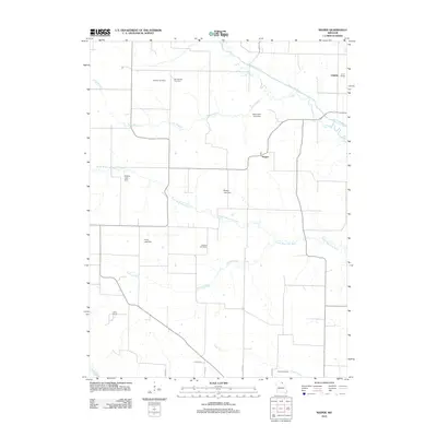 2012 Neeper2012 Print · USGSClark County at the start of the 2010s reveals a quiet agricultural landscape defined by its river bends and country crossroads. Local historians can trace old community hubs like Neeper and find family-named landmarks including Schuster Cemetery and Pleasant Hill School.
 - 2012 Map of Benjamin, 2012 Print
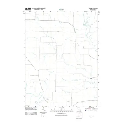 2012 Benjamin2012 Print · USGSLewis County farmland at the turn of the decade is defined by the winding North Fabius River and the settlement at Benjamin. Local historians can locate ancestral sites at Henton Cemetery and Patterson Cemetery or trace the course of the Wyaconda River.
 - 2012 Map of Canton, 2012 Print
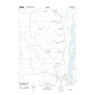 2012 Canton2012 Print · USGSCanton and the Lewis County riverfront come alive in the early 2010s as a hub of Mississippi River activity and rural Missouri settlement. Trace local history at the Canton Ferry or search for family roots at Oak Bluff Cemetery and Prospect Cemetery.
 - 2012 Map of Newark, 2012 Print
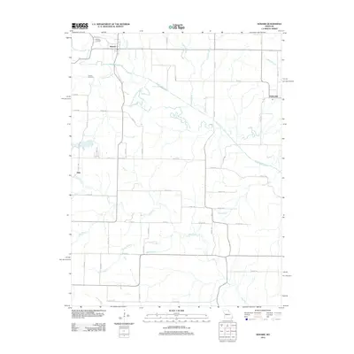 2012 Newark2012 Print · USGSNorthwestern Missouri's agricultural landscape is documented here in the early 21st century, centered on the village of Newark. Researchers can trace old family burial sites at Newark Cemetery or map the meandering course of the South Fabius River and Tiger Fork.
 - 2012 Map of Quincy West, 2012 Print
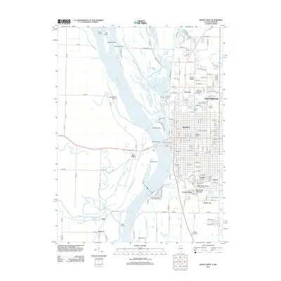 2012 Quincy West2012 Print · USGSThe riverfront of Quincy and its Missouri neighbors are documented here in the early twenty-first century as the city expands across the bluffs. Researchers can trace family history at Woodland Cem or locate river landmarks like Bullians Landing and Lock and Dam No 21.
 - 2012 Map of Long Island, 2012 Print
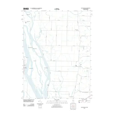 2012 Long Island2012 Print · USGSThe Missouri-Illinois borderlands come alive in the early twenty-first century as the Mississippi River carves a dense network of islands and chutes. Genealogists and local historians can trace the riverfront at La Grange or locate rural sites like LeSueur's Port and Campbell Farms.
 - 2012 Map of Lima, 2012 Print
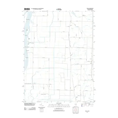 2012 Lima2012 Print · USGSThe Illinois river bottoms and the settlement of Lima are documented here in the early twenty-first century. Genealogists and historians can locate numerous rural burial sites like Oak Valley Missionary Cem and Crenshaw Cem, or trace family landmarks along Bear Cr.
 - 2014 Map of Monticello, 2014 Print
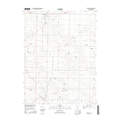 2014 Monticello2014 Print · USGSLewis County farmland and river valleys are captured here in the early twenty-first century, showing a landscape shaped by the Fabius forks. Genealogists can locate numerous rural burial grounds such as Cason Cemetery and Nall Cemetery or trace early crossings like Steele Bridge.
 - 2014 Map of Lewistown, 2014 Print
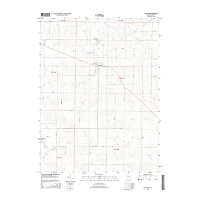 2014 Lewistown2014 Print · USGSLewistown and its surrounding rural townships are shown in this 2014 survey of Lewis County. Local researchers can locate Prim Cemetery, trace the winding path of Troublesome Cr, or find family landmarks like Sharpe Farms Airport and New Court Village.
 - 2014 Map of Saint Patrick, 2014 Print
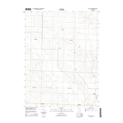 2014 Saint Patrick2014 Print · USGSNortheastern Missouri and the border of Clark and Lewis Counties are captured in this recent survey. Genealogists can trace a high density of rural burial sites, including Honey Creek, Sisson, and Bash cemeteries.
 - 2014 Map of Kahoka SE, 2014 Print
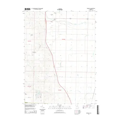 2014 Kahoka SE2014 Print · USGSWinchester and the surrounding Clark County farmland are captured in the early twenty-first century, showing the persistence of rural settlements and family burial grounds. Researchers can trace historical footprints at Mount Zion Cemetery and Frazee Cemetery or explore the drainage basins of Sugar Cr and the Fox River.
 - 2014 Map of Williamstown, 2014 Print
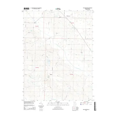 2014 Williamstown2014 Print · USGSWilliamstown and the surrounding Lewis County countryside are captured here in the early twenty-first century as the landscape remains defined by its historic river valleys. Genealogists and local historians can trace family roots through the Williamstown Cemetery, Midway settlement, and several family-named landmarks like Wurtzburger Lake.
 - 2014 Map of La Belle, 2014 Print
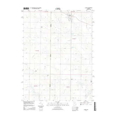 2014 La Belle2014 Print · USGSThe Knox and Lewis county line divides this northeastern Missouri landscape during the early twenty-first century. Genealogists and local historians can locate the rural settlements of Jeddo and Salem, as well as family landmarks like Washburn Cemetery and Glover Cemetery.
Showing maps 1-25 of 57
Top cities of Lewis County
- Canton historical maps
- La Grange historical maps
- La Belle historical maps
- Lewistown historical maps
- Ewing historical maps
- Monticello historical maps
Frequently asked questions
- What are the different types of historical maps available for Lewis County?
- What is the oldest map of Lewis County?
- Where can I purchase historical maps of Lewis County for my home or office?
- Where can I download high-res historical maps of Lewis County?
- Are there historical topographic maps available for Lewis County?
- Is there historical aerial imagery available for Lewis County?
- Where are historical maps of Lewis County sourced from?