2000s (21st Century) Maps of Osage County, Missouri
Explore 70 historic maps of Osage County from the 2000s (21st Century). These maps offer a rare glimpse into what life looked like during the 2000s — showing old roads, neighborhoods, homes, and landmarks that have changed or disappeared over time.
Whether you're researching your family's past, planning a metal detecting trip, or studying how Osage County's landscape evolved across the 2000s, these high-resolution maps are a powerful tool for exploring the history of this region.
- Focus on a specific era: All maps on this page are from the 2000s, giving you a focused view of this time period.
- See what’s changed: Compare century-old streets, trails, and buildings to today's modern landscape using overlays and satellite layers.
- Research with precision: Use these maps for genealogy, historical research, land use analysis, or educational projects.
- View, download, or print: Maps are fully viewable online in high resolution, and can be downloaded or printed for your own records.
Start exploring Osage County's history through authentic maps from the 2000s. This is your window into the past.
Osage County, MO maps
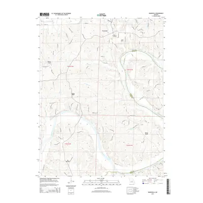
(70)- 2000 Map of Mokane East, 2003 Print
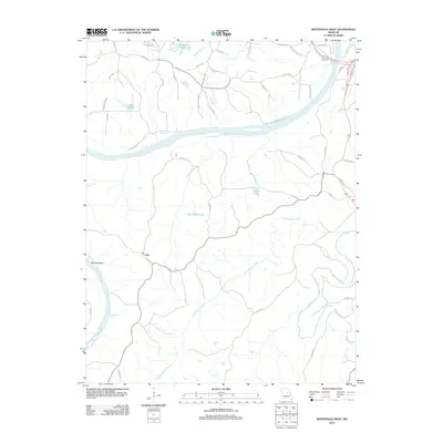
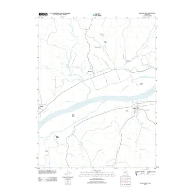
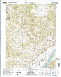 2000 Mokane East2003 Print · USGSCallaway County at the turn of the millennium shows a landscape shaped by the Missouri River and the conversion of the old rail corridor. Local researchers can trace family sites at Middle River Cem, explore the community at Mokane, and locate old landmarks like Browns Ford.
 - 2000 Map of Mokane West, 2003 Print
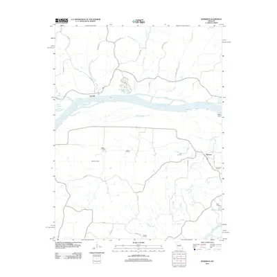
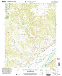 2000 Mokane West2003 Print · USGSMissouri River bottomlands and Callaway County uplands meet in this 2000 survey, showing the landscape just before the modern era. Genealogists and hikers can trace the Katy State Park Trail through Mokane or locate Mt Tabor Cem and the river crossing at Browns Ford.
 - 2011 Map of Osage City, 2011 Print
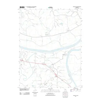 2011 Osage City2011 Print · USGSCovers Osage County, including Jefferson City, Taos, and other nearby areas
 - 2011 Map of Wardsville, 2011 Print
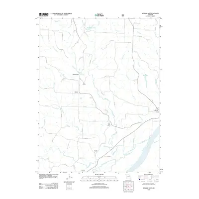
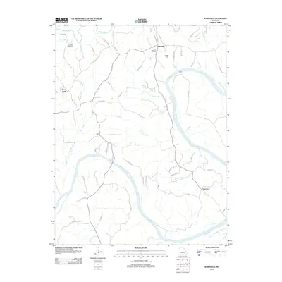 2011 Wardsville2011 Print · USGSCovers Osage County, including Wardsville, Honey Creek, and other nearby areas
 - 2011 Map of Westphalia West, 2011 Print
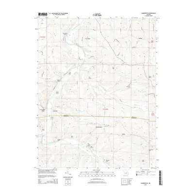
 2011 Westphalia West2011 Print · USGSCovers Osage County, including Taos, Westphalia, and other nearby areas
 - 2011 Map of Argyle, 2011 Print
 2011 Argyle2011 Print · USGSCovers Osage County, including Koeltztown, Argyle, and other nearby areas
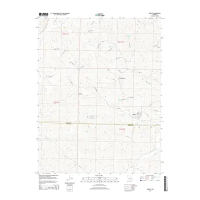
 - 2011 Map of Meta, 2011 Print
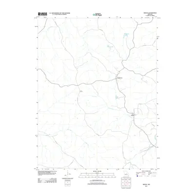
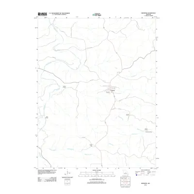
 2011 Meta2011 Print · USGSCovers Osage County, including Meta, Teal, and other nearby areas
 - 2012 Map of Morrison, 2012 Print
 2012 Morrison2012 Print · USGSCovers Osage County, including Morrison, Portland, and other nearby areas
 - 2012 Map of Cooper Hill, 2012 Print
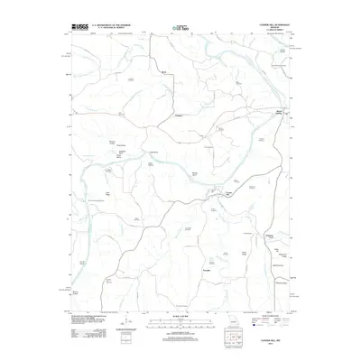 2012 Cooper Hill2012 Print · USGSCovers Osage County, including Freedom, Fuersville, and other nearby areas
 - 2012 Map of Summerfield, 2012 Print
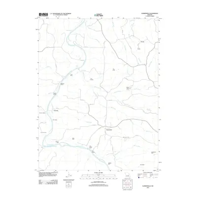 2012 Summerfield2012 Print · USGSCovers Osage County, including Gascondy, Summerfield, and other nearby areas
 - 2012 Map of Westphalia East, 2012 Print
 2012 Westphalia East2012 Print · USGSCovers Osage County, including Westphalia, Rich Fountain, and other nearby areas
 - 2012 Map of Belle, 2012 Print
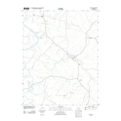
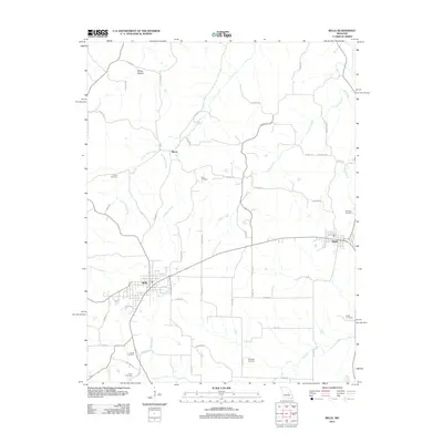 2012 Belle2012 Print · USGSCovers Osage County, including Bland, Belle, and other nearby areas
 - 2012 Map of Linn, 2012 Print
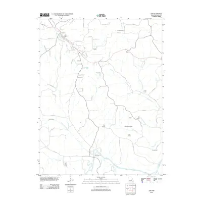 2012 Linn2012 Print · USGSCovers Osage County, including Linn, Judge, and other nearby areas
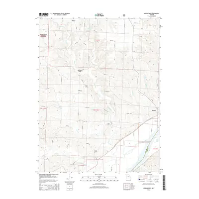
 - 2012 Map of Mokane West, 2012 Print
 2012 Mokane West2012 Print · USGSCovers Osage County, including Mokane, Liberty, and other nearby areas
 - 2012 Map of Luystown, 2012 Print
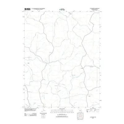 2012 Luystown2012 Print · USGSCovers Osage County, including Deer, Luystown, and other nearby areas
 - 2012 Map of Mokane East, 2012 Print
 2012 Mokane East2012 Print · USGSCovers Osage County, including Chamois, Mokane, and other nearby areas
 - 2012 Map of Freeburg, 2012 Print
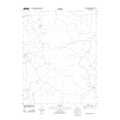
 2012 Freeburg2012 Print · USGSCovers Osage County, including Freeburg, Maries County, and other nearby areas
 - 2012 Map of Fredericksburg, 2012 Print
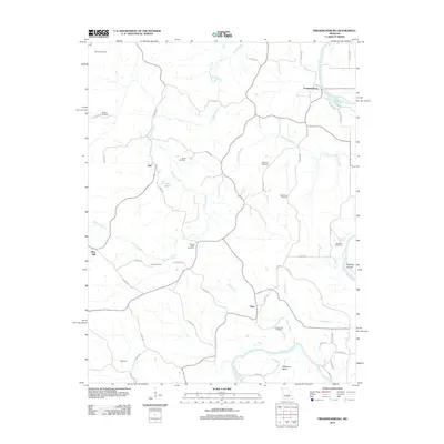 2012 Fredericksburg2012 Print · USGSCovers Osage County, including Aud, Hope, and other nearby areas
 - 2012 Map of Loose Creek, 2012 Print
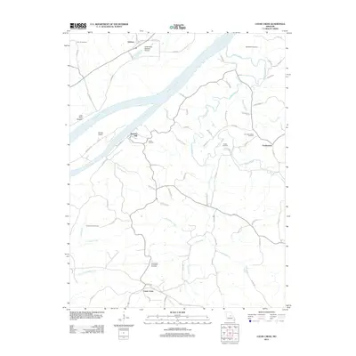 2012 Loose Creek2012 Print · USGSCovers Osage County, including Tebbetts, Bonnots Mill, and other nearby areas
 - 2015 Map of Westphalia East, 2015 Print
 2015 Westphalia East2015 Print · USGSCovers Osage County, including Westphalia, Rich Fountain, and other nearby areas
 - 2015 Map of Meta, 2015 Print
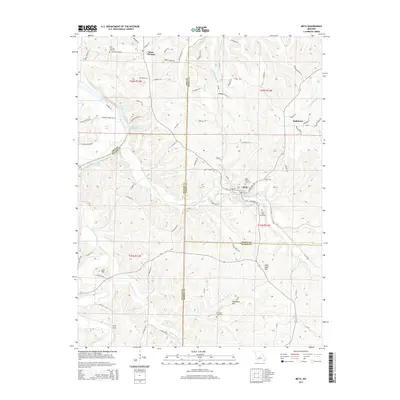 2015 Meta2015 Print · USGSCovers Osage County, including Meta, Teal, and other nearby areas
 - 2015 Map of Wardsville, 2015 Print
 2015 Wardsville2015 Print · USGSCovers Osage County, including Wardsville, Honey Creek, and other nearby areas
 - 2015 Map of Argyle, 2015 Print
 2015 Argyle2015 Print · USGSCovers Osage County, including Koeltztown, Argyle, and other nearby areas
 - 2015 Map of Summerfield, 2015 Print
 2015 Summerfield2015 Print · USGSCovers Osage County, including Gascondy, Summerfield, and other nearby areas
 - 2015 Map of Mokane West, 2015 Print
 2015 Mokane West2015 Print · USGSCovers Osage County, including Mokane, Liberty, and other nearby areas
Showing maps 1-25 of 70
Top cities of Osage County
- Linn historical maps
- Chamois historical maps
- Freeburg historical maps
- Westphalia historical maps
- Meta historical maps
Frequently asked questions
- What are the different types of historical maps available for Osage County?
- What is the oldest map of Osage County?
- Where can I purchase historical maps of Osage County for my home or office?
- Where can I download high-res historical maps of Osage County?
- Are there historical topographic maps available for Osage County?
- Is there historical aerial imagery available for Osage County?
- Where are historical maps of Osage County sourced from?