2010s Maps of Osage County, Missouri
Explore 51 historic maps of Osage County from the 2010s. These maps offer a rare glimpse into what life looked like during the 2010s — showing old roads, neighborhoods, homes, and landmarks that have changed or disappeared over time.
Whether you're researching your family's past, planning a metal detecting trip, or studying how Osage County's landscape evolved across the 2010s, these high-resolution maps are a powerful tool for exploring the history of this region.
- Focus on a specific era: All maps on this page are from the 2010s, giving you a focused view of this time period.
- See what’s changed: Compare century-old streets, trails, and buildings to today's modern landscape using overlays and satellite layers.
- Research with precision: Use these maps for genealogy, historical research, land use analysis, or educational projects.
- View, download, or print: Maps are fully viewable online in high resolution, and can be downloaded or printed for your own records.
Start exploring Osage County's history through authentic maps from the 2010s. This is your window into the past.
Osage County, MO maps
(51)- 2011 Map of Osage City, 2011 Print
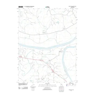 2011 Osage City2011 Print · USGSThe Missouri and Osage rivers converge here in the early twenty-first century, shaping a landscape of river towns and rural family lands. Genealogists can locate several local burial sites including Saint Xaviers Cemetery, Wolfrum Cemetery, and Link Cemetery.
 - 2011 Map of Wardsville, 2011 Print
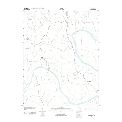 2011 Wardsville2011 Print · USGSThe Osage River valley comes to life in this early twenty-first-century survey of Cole County. Genealogists and local historians can trace family locations near Wardsville, Saint Stanislaus Cemetery, and the historic site of Bodie Ferry.
 - 2011 Map of Westphalia West, 2011 Print
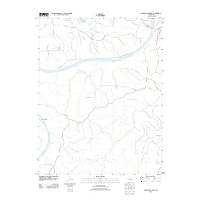 2011 Westphalia West2011 Print · USGSThe Osage and Maries rivers converge in this part of Cole County during the early 2010s, showing a landscape defined by its waterways and rural crossings. Genealogists and local historians can trace the routes around Folk or locate family-named features like Baumhoer Lake and Bodie Ferry Rd.
 - 2011 Map of Argyle, 2011 Print
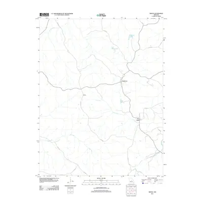 2011 Argyle2011 Print · USGSOsage County at the start of the 2010s reveals a landscape of winding creek beds and rural villages. Genealogists and local historians can trace family land near Koeltztown, locate the elusive Tunnel Number 2, or survey the banks of Loose Creek and Argyle.
 - 2011 Map of Meta, 2011 Print
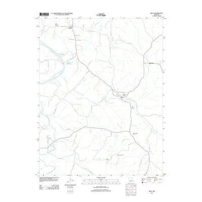 2011 Meta2011 Print · USGSOsage County in the early twenty-first century remains a landscape of high ridges and winding river bottoms. Researchers can trace family sites near Saint Thomas, Babbtown, and Meta, or locate rural burial grounds like Saint Cecilia Cemetery and South Side Cemetery.
 - 2012 Map of Morrison, 2012 Print
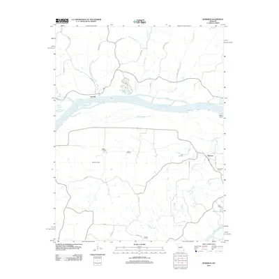 2012 Morrison2012 Print · USGSThe Missouri River valley at the start of the 21st century remains a landscape defined by its waterways and small river towns. Family historians can trace ancestral roots through numerous burial sites including Welton Cemetery and Schobe Cemetery, or explore the streets of Portland and Morrison.
 - 2012 Map of Cooper Hill, 2012 Print
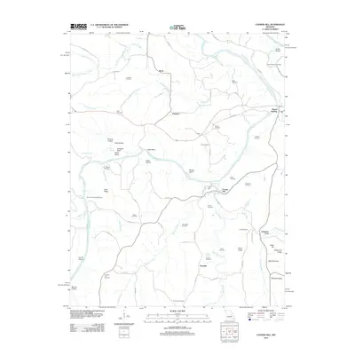 2012 Cooper Hill2012 Print · USGSThe Gasconade River valley in Osage County is shown here in the early twenty-first century, featuring a landscape of high ridges and deep hollows. Genealogists can trace family locations through numerous sites like Mount Sterling Cemetery, Valentine Ford, and the settlement at Cooper Hill.
 - 2012 Map of Summerfield, 2012 Print
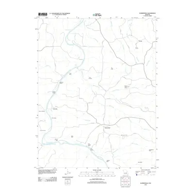 2012 Summerfield2012 Print · USGSOsage County's river-cut terrain is shown in detail during the early twenty-first century, centered on the bend of the Gasconade River. Researchers can locate family landmarks like Koenig Cemetery, the small community of Summerfield, and aviation sites such as Stickle Cattle Farms Airport.
 - 2012 Map of Westphalia East, 2012 Print
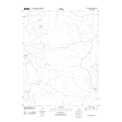 2012 Westphalia East2012 Print · USGSIn the early 21st century, this section of Osage County shows the enduring rural layout of Westphalia and Rich Fountain. Researchers can trace local heritage through Van Buren Cemetery, Sacred Heart Cemetery, and the river valley around Grapevine Hill.
 - 2012 Map of Belle, 2012 Print
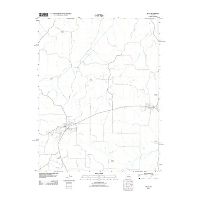 2012 Belle2012 Print · USGSThe borderlands of Gasconade and Maries counties appear in the early 21st century as a landscape of established small towns and generational homesteads. Researchers can locate numerous family burial sites such as Francis Cemetery and Campbell Cemetery or trace the winding course of Crider Creek.
 - 2012 Map of Linn, 2012 Print
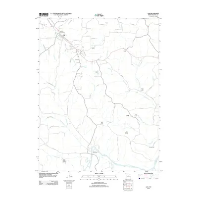 2012 Linn2012 Print · USGSThe area around Linn comes alive in the early twenty-first century, showing a landscape defined by the winding Gasconade River. Trace family lineages through numerous local burial sites like Memorial Park Cemetery and the Judge Branson Cemetery.
 - 2012 Map of Mokane West, 2012 Print
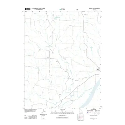 2012 Mokane West2012 Print · USGSCallaway County's riverfront and uplands are captured here in the early twenty-first century, centered on the Missouri River bend. Genealogists and local historians can trace family roots at Mount Tabor Cemetery and locate rural hubs like Mokane and Liberty.
 - 2012 Map of Luystown, 2012 Print
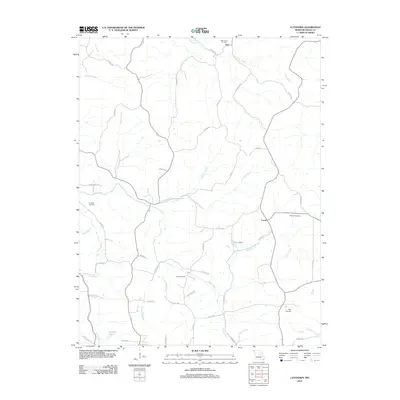 2012 Luystown2012 Print · USGSOsage County at the start of the 2010s reveals a rural landscape defined by creek branches and quiet settlements. Genealogists can trace family footprints across Deer Creek Cemetery, Laughlin Cemetery, and Shirley Cemetery.
 - 2012 Map of Mokane East, 2012 Print
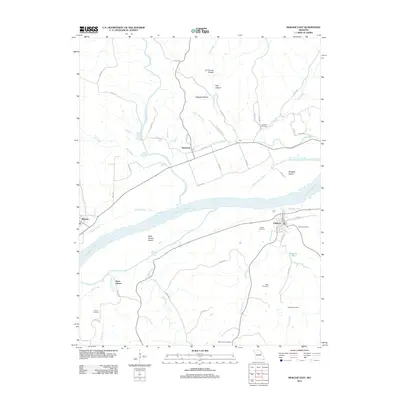 2012 Mokane East2012 Print · USGSThe Missouri River floodplain comes to life in the early 2010s, showcasing the intricate relationship between the river and the towns of Chamois and Mokane. Genealogists and local researchers can trace family plots at Bode Cemetery and Lawrence Cemetery or explore the river islands like Saint Aubert Island.
 - 2012 Map of Freeburg, 2012 Print
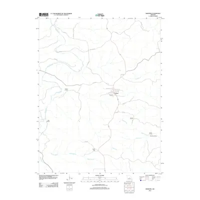 2012 Freeburg2012 Print · USGSFreeburg and the surrounding hollows of Osage County are shown here in the early twenty-first century. Researchers can trace family history at Holy Family Cemetery and Breeding Cemetery or locate landmarks like the Freeburg Lookout Tower.
 - 2012 Map of Fredericksburg, 2012 Print
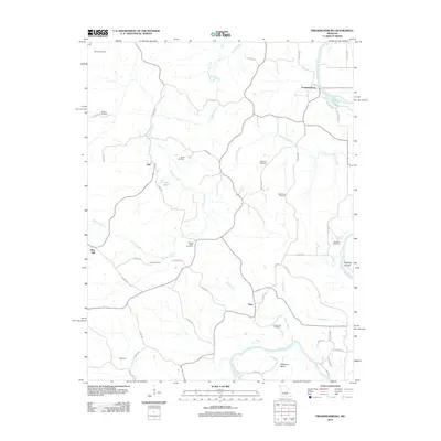 2012 Fredericksburg2012 Print · USGSThe rural riverlands of Osage County are shown here in the early twenty-first century, centered on the winding Gasconade River. Genealogists and local historians can locate many family-named landmarks, including Woods Cemetery, Heckman Bend, and the settlement of Fredericksburg.
 - 2012 Map of Loose Creek, 2012 Print
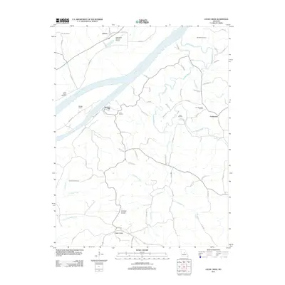 2012 Loose Creek2012 Print · USGSThe Missouri and Osage rivers converge here in the early 21st century, creating a landscape of rich bottomlands and blufftop settlements. Genealogists and local historians can trace legacy family sites through Bonnots Mill, Frankenstein, and the Verdot Cemetery.
 - 2015 Map of Westphalia East, 2015 Print
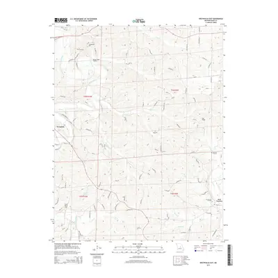 2015 Westphalia East2015 Print · USGSOsage County at the start of the 2010s shows a landscape of deep creek valleys and high ridge settlements. Researchers can locate family landmarks like Van Buren Cemetery, the prominent Anvil Rock Arch, and the community of Rich Fountain.
 - 2015 Map of Meta, 2015 Print
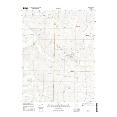 2015 Meta2015 Print · USGSOsage County and its neighboring borders are documented here in the mid-2010s, showing a landscape defined by the Osage River and traditional rural settlements. Researchers can trace family history through Saint Cecilia Cemetery or locate natural landmarks like Arch Cave and Lost Hill.
 - 2015 Map of Wardsville, 2015 Print
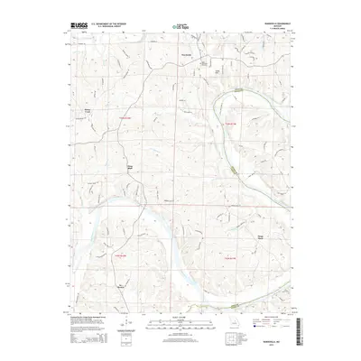 2015 Wardsville2015 Print · USGSThe Osage River valley south of Jefferson City comes into focus during the mid-2010s, showing a landscape defined by deep river bends and rural communities. Local history researchers can pinpoint family landmarks from Wardsville to St Thomas and locate the Saint Stanislaus Cemetery.
 - 2015 Map of Argyle, 2015 Print
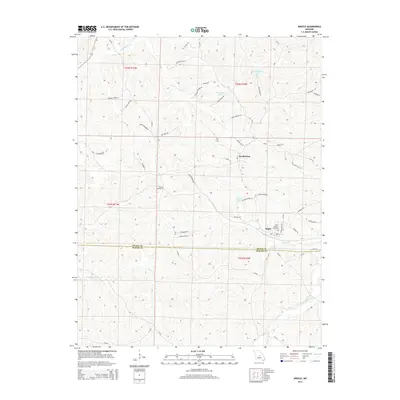 2015 Argyle2015 Print · USGSThe Osage and Maries County borderlands come into focus in the mid-2010s, showing a landscape defined by deep creek valleys and family farmsteads. Researchers can trace the heritage of Argyle and Koeltztown, locating landmarks like Saint Aloysius Cemetery and the curious Tunnel Number 2.
 - 2015 Map of Summerfield, 2015 Print
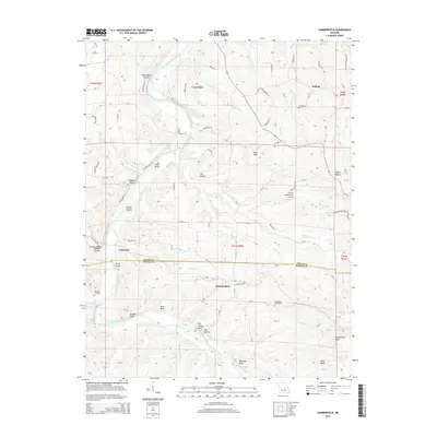 2015 Summerfield2015 Print · USGSOsage and Maries counties in the early twenty-first century are defined by the winding course of the Gasconade River. Local historians can trace family roots through the Branson Cemetery or explore landmarks like Summerfield and the Stickle Cattle Farms Airport.
 - 2015 Map of Mokane West, 2015 Print
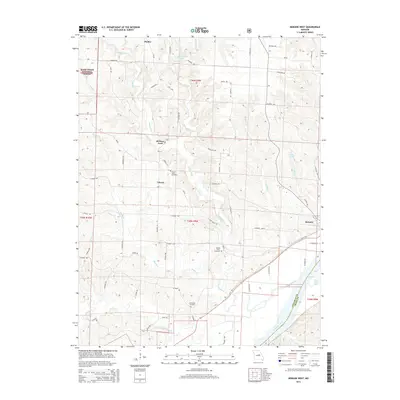 2015 Mokane West2015 Print · USGSCallaway County at the edge of the Missouri River valley shows a landscape of river-bottom farms and protected forests. Genealogists can trace family landmarks at Mount Tabor Cemetery, Riverview Cemetery, and the settlement of Mokane.
 - 2015 Map of Cooper Hill, 2015 Print
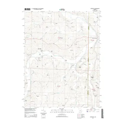 2015 Cooper Hill2015 Print · USGSThe Gasconade River valley comes alive in this modern survey of the Missouri Ozark foothills. Researchers can trace ancestral connections through more than a dozen local burial sites, including Cox Cemetery, Butte Cemetery, and Lang Cemetery.
 - 2015 Map of Westphalia West, 2015 Print
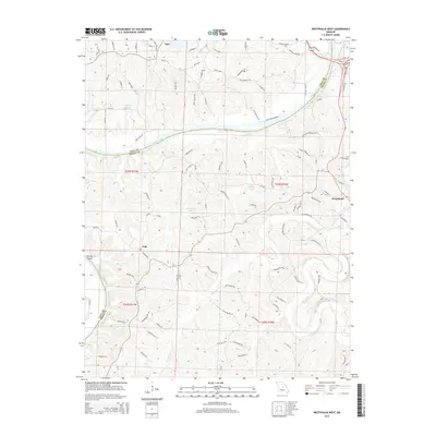 2015 Westphalia West2015 Print · USGSThe Osage and Maries rivers meet in this central Missouri landscape during the mid-2010s, where traditional river towns and rural routes define the area. Genealogists and local historians can trace family-named roads like Bode Ferry Rd and landmarks near Westphalia or Taos.
Showing maps 1-25 of 51
Top cities of Osage County
- Linn historical maps
- Chamois historical maps
- Freeburg historical maps
- Westphalia historical maps
- Meta historical maps
Frequently asked questions
- What are the different types of historical maps available for Osage County?
- What is the oldest map of Osage County?
- Where can I purchase historical maps of Osage County for my home or office?
- Where can I download high-res historical maps of Osage County?
- Are there historical topographic maps available for Osage County?
- Is there historical aerial imagery available for Osage County?
- Where are historical maps of Osage County sourced from?