2020s Maps of Shannon County, Missouri
Explore 28 historic maps of Shannon County from the 2020s. These maps offer a rare glimpse into what life looked like during the 2020s — showing old roads, neighborhoods, homes, and landmarks that have changed or disappeared over time.
Whether you're researching your family's past, planning a metal detecting trip, or studying how Shannon County's landscape evolved across the 2020s, these high-resolution maps are a powerful tool for exploring the history of this region.
- Focus on a specific era: All maps on this page are from the 2020s, giving you a focused view of this time period.
- See what’s changed: Compare century-old streets, trails, and buildings to today's modern landscape using overlays and satellite layers.
- Research with precision: Use these maps for genealogy, historical research, land use analysis, or educational projects.
- View, download, or print: Maps are fully viewable online in high resolution, and can be downloaded or printed for your own records.
Start exploring Shannon County's history through authentic maps from the 2020s. This is your window into the past.
Shannon County, MO maps
(28)- 2021 Map of Exchange, 2021 Print
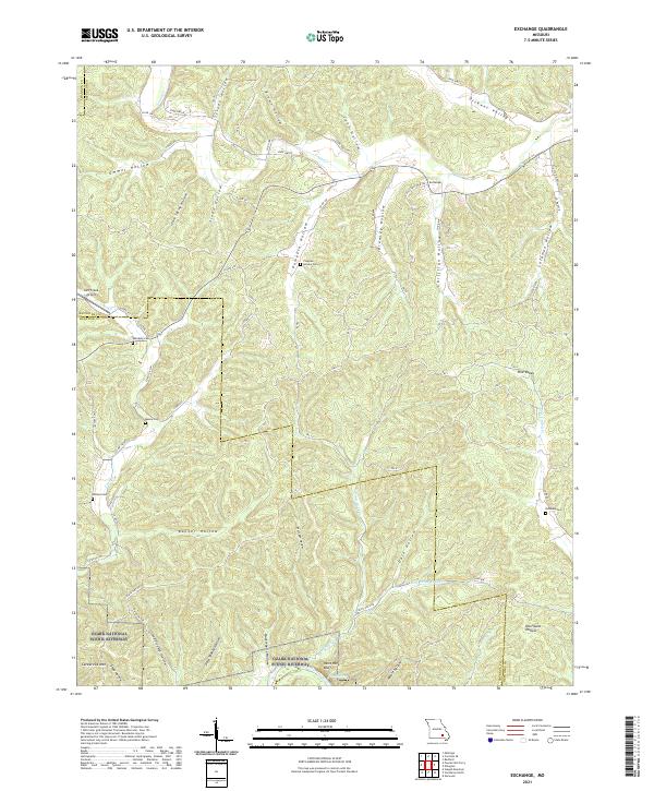 2021 Exchange2021 Print · USGSThe Missouri Ozarks are showcased here in the early twenty-first century, centered on the Exchange settlement and the protected Current River corridor. Genealogists can trace family landmarks like Pumpkin Hollow Cem, Massie Cem, and Phillips Cem.
 - 2021 Map of Cedargrove, 2021 Print
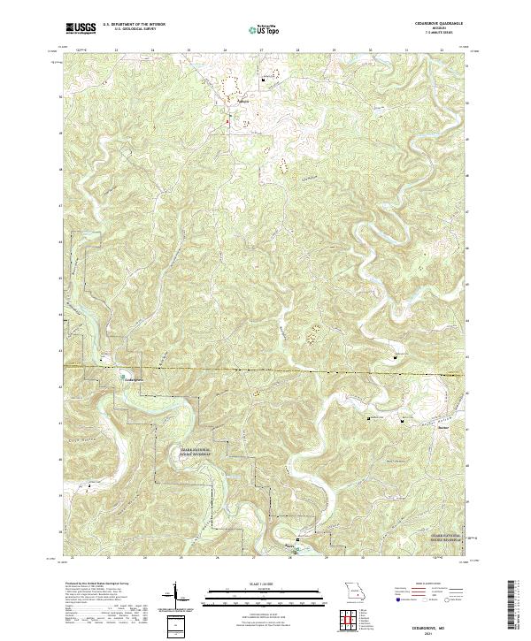 2021 Cedargrove2021 Print · USGSThe Current River corridor in the Missouri Ozarks remains a landscape of deep hollows and isolated settlements in this recent survey. Genealogists and historians can trace lineage and old homesteads through numerous burial grounds like Jadwin Cem, Rector Cem, and Akers Cem.
 - 2021 Map of Bartlett, 2021 Print
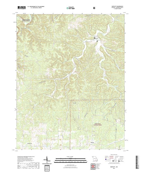 2021 Bartlett2021 Print · USGSShannon County's deep hollows and timberlands are documented here as they appeared in the early 2020s. Researchers can trace family sites like Delaware Cem near the community of Delaware or explore the drainage of Mahans Cr.
 - 2021 Map of The Sinks, 2021 Print
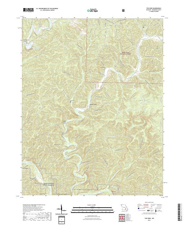 2021 The Sinks2021 Print · USGSShannon County's deep hollows and river bluffs are preserved here during the early twenty-first century. Genealogists and hikers can locate Mauser Mill, Heaton Cem, and notable karst features like The Sinks along the winding Sinking Creek.
 - 2021 Map of Van Buren North, 2021 Print
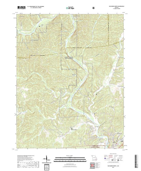 2021 Van Buren North2021 Print · USGSThe Ozark river country comes into focus in this recent survey of Carter County, where the winding Current River meets the hills of the Mark Twain National Forest. Researchers can locate several remote burial sites like Collins Cem and Reed Cem alongside distinctive river landmarks such as Watermelon Shoal.
 - 2021 Map of Eminence, 2021 Print
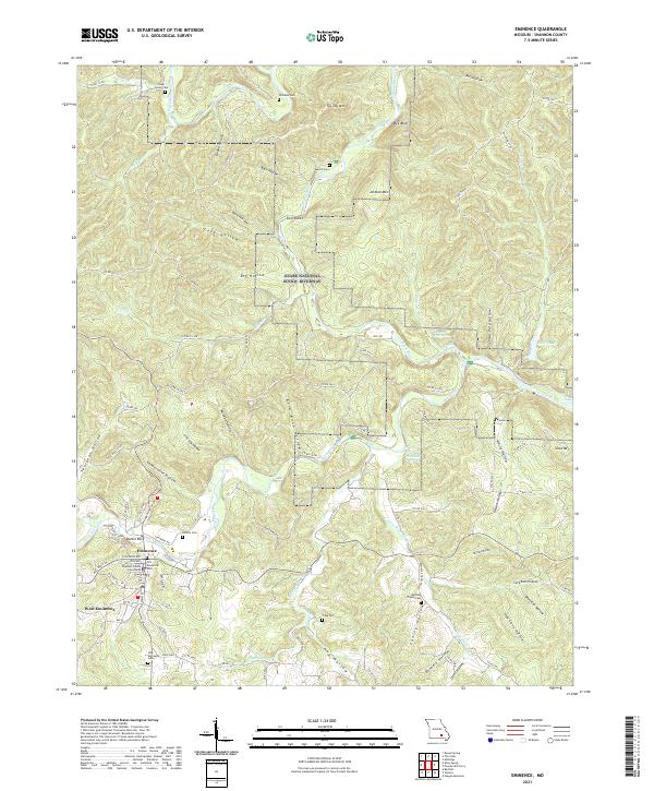 2021 Eminence2021 Print · USGSThe Shannon County seat and its surroundings come into focus during the early 2020s, highlighting the enduring river-and-hollow topography of the Ozarks. Genealogists can locate several family and community burial sites, including Chilton Cem, Tripp Cem, and the Old Eminence Cem.
 - 2021 Map of Hartshorn, 2021 Print
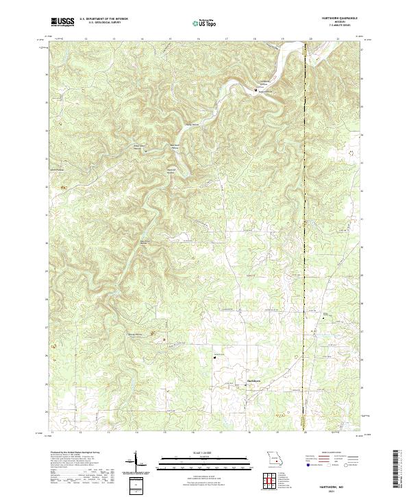 2021 Hartshorn2021 Print · USGSThe upland terrain of the Salem Plateau in Texas and Shannon Counties is meticulously detailed in the early twenty-first century. Genealogists and local historians can locate rural cemeteries like Antioch Cem and trace old family sites near Rebel Cave Hollow or along Dry Bone Cr.
 - 2021 Map of Bunker, 2021 Print
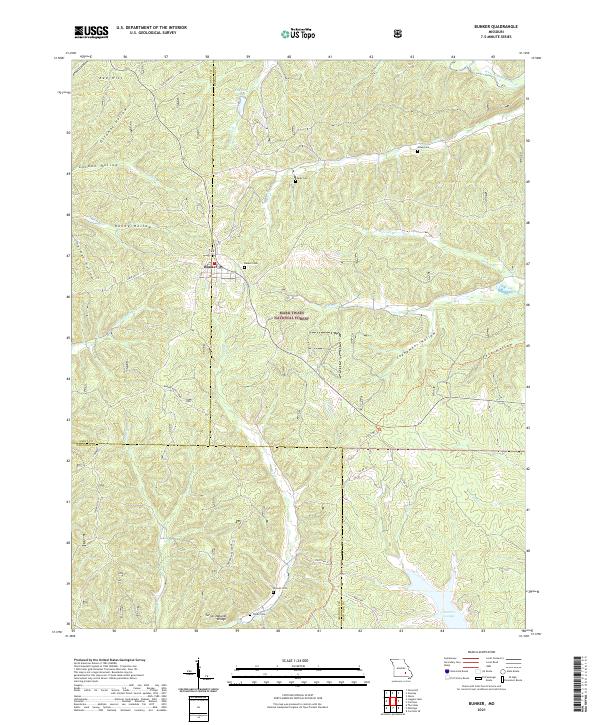 2021 Bunker2021 Print · USGSBunker and the surrounding Ozark woodlands appear in high detail during this contemporary survey. Researchers can locate family landmarks like Parks Cemetery and Turner Cemetery, or trace the path of Big Creek past the Turner Natural Bridge.
 - 2021 Map of Montier, 2021 Print
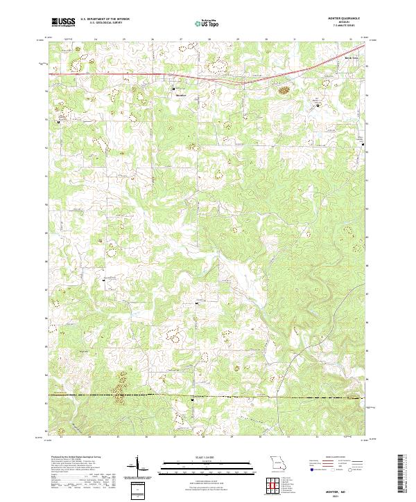 2021 Montier2021 Print · USGSShannon County at the start of the 2020s shows a landscape of deep hollows and high ridges centered on the settlement of Montier. Genealogists can trace numerous local burial grounds like New Salem Cem, Bethlehem Cem, and Pleasant Grove Cem along the rural roads.
 - 2021 Map of Midridge, 2021 Print
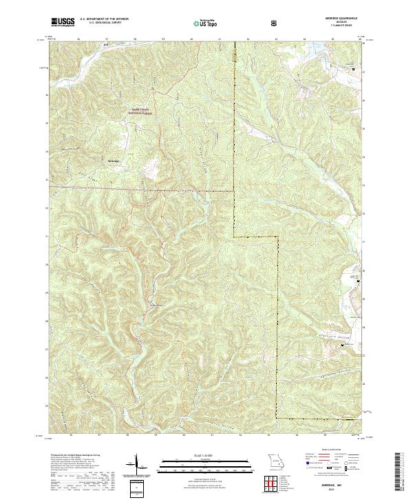 2021 Midridge2021 Print · USGSShannon and Reynolds counties are shown here in the early 2020s, dominated by the timbered ridges of the Mark Twain National Forest. Local historians can trace family sites at the Nuckols Cem or follow the Ozark Trl through Barton Hollow.
 - 2021 Map of Round Spring, 2021 Print
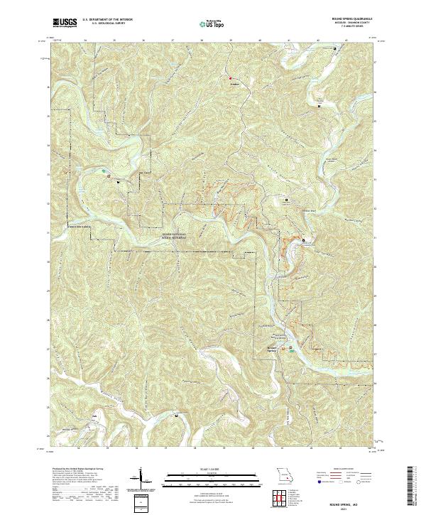 2021 Round Spring2021 Print · USGSShannon County is captured in the early twenty-first century, showcasing the protected waters of the Current River. Researchers can trace local lineage through Union Hill Carpenter Cem or locate the site of Timber and the Haven Wood Airport.
 - 2021 Map of Stegall Mountain, 2021 Print
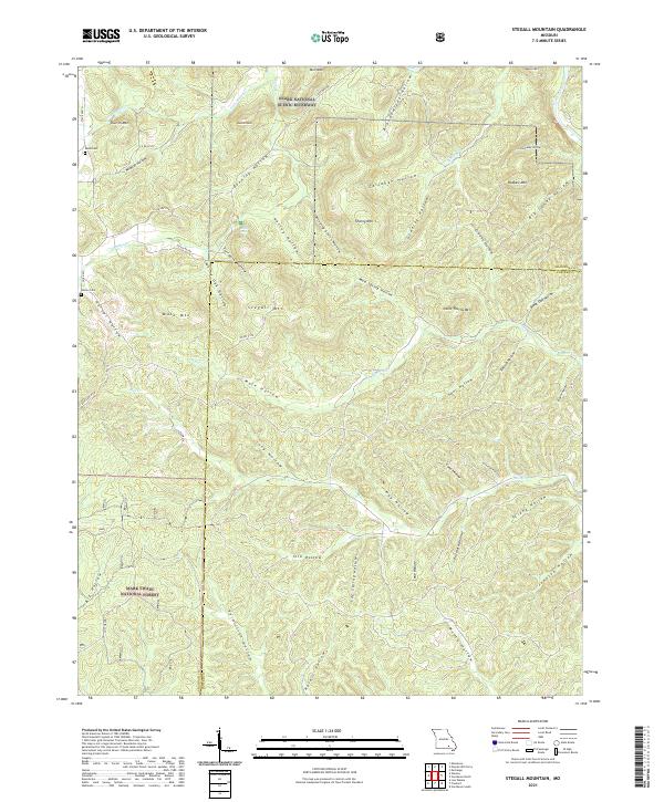 2021 Stegall Mountain2021 Print · USGSThe Missouri Ozarks are shown here in the 2020s, where public forest lands and riverways meet along the county line. Researchers can locate family burial sites like Reed Cem and Horner Cem near peaks such as Stegall Mtn and Mule Mtn.
 - 2021 Map of Alley Spring, 2021 Print
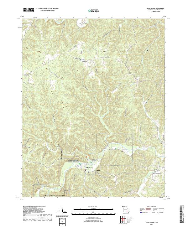 2021 Alley Spring2021 Print · USGSShannon County at the start of the 2020s shows a landscape of protected riverways and enduring rural settlements. Researchers can trace family history through sites like Culpepper Cem or explore the geography of Alley Spring and the Jacks Fork.
 - 2021 Map of Jam Up Cave, 2021 Print
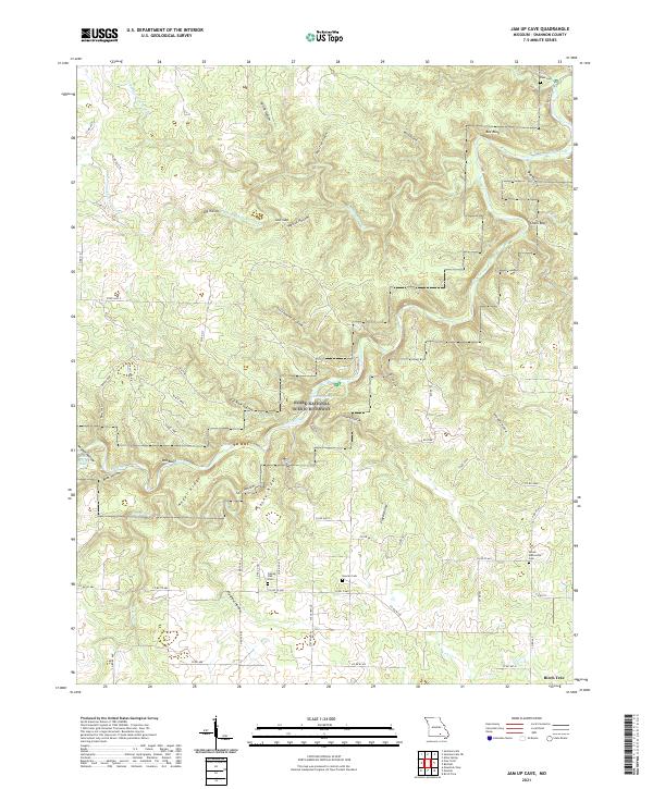 2021 Jam Up Cave2021 Print · USGSShannon County's deep hollows and river bends are captured here in the early twenty-first century as the Ozark National Scenic Riverway protects the corridor. Genealogists can locate family sites near Dyer Cem, Duncan Cem, or Turkey Oak Cem.
 - 2021 Map of Fremont, 2021 Print
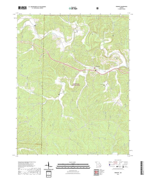 2021 Fremont2021 Print · USGSFremont and the surrounding Ozark woodlands appear in detail during the early 2020s, revealing a landscape of remote cemeteries and historic transport paths. Researchers can trace family sites like Evaline Cem and Snider Cem or locate the route of the OLD TRAM.
 - 2021 Map of Pine Crest, 2021 Print
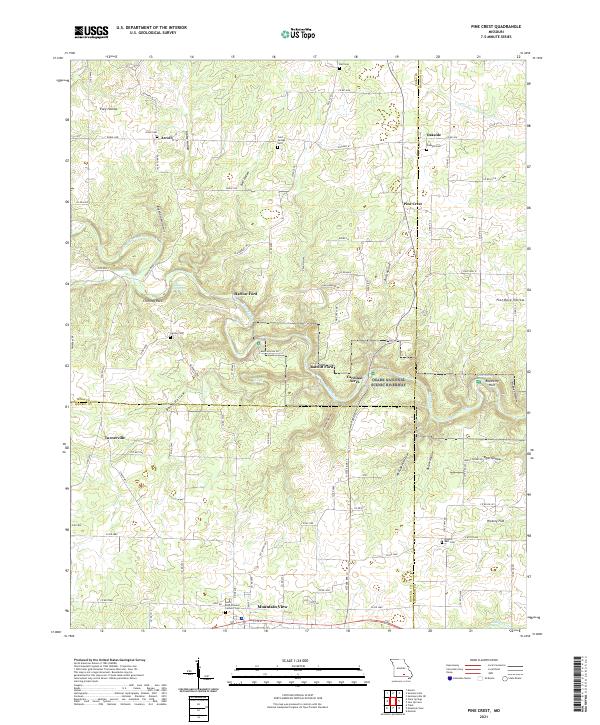 2021 Pine Crest2021 Print · USGSThe Missouri Ozarks are captured here in the early twenty-first century, centered on the river valleys of Texas and Shannon Counties. Genealogists and hikers can trace old river crossings like Ratcliff Ford or locate several remote burying grounds including Arroll Cem and Cold Springs Cem.
 - 2021 Map of Corridon SE, 2021 Print
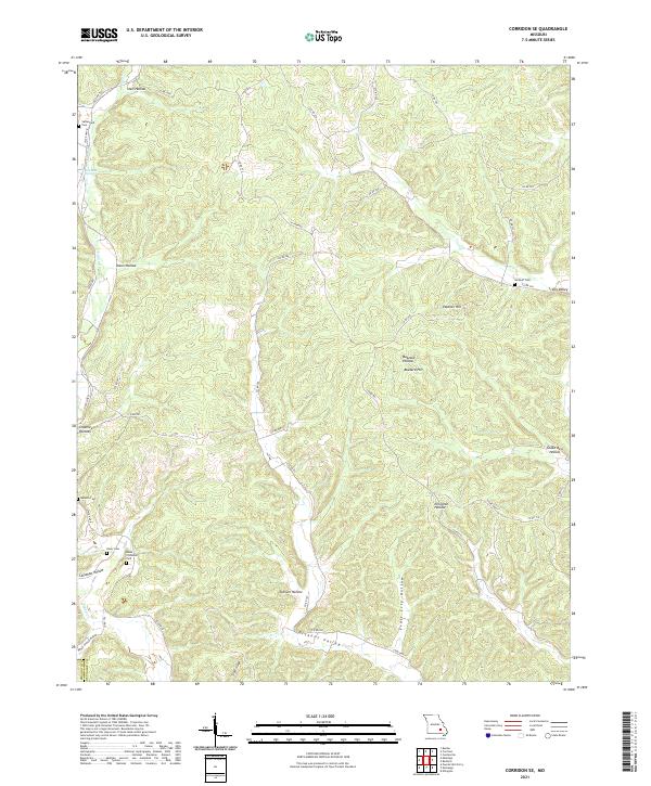 2021 Corridon SE2021 Print · USGSThe Reynolds and Shannon County line near Ellington is captured here in recent detail, showing a landscape of deep Ozark hollows. Researchers can locate family sites like Sutterfield Cem and Neely Cem or follow the paths of N Tram Rd and S Tram Rd.
 - 2021 Map of Winona, 2021 Print
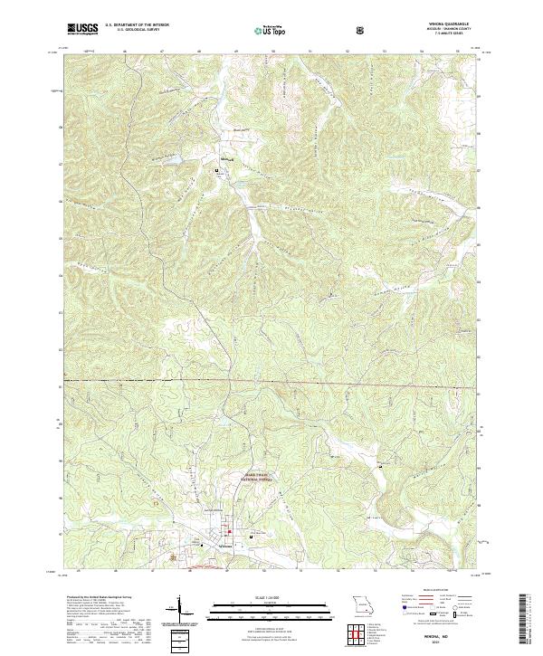 2021 Winona2021 Print · USGSThe Ozark highlands of Shannon County are shown here in the early 2020s, centered on the community of Winona. Genealogists and local historians can trace family locations near Munsell Cem, Williams Cem, and along the banks of Sycamore Cr.
 - 2021 Map of Montauk, 2021 Print
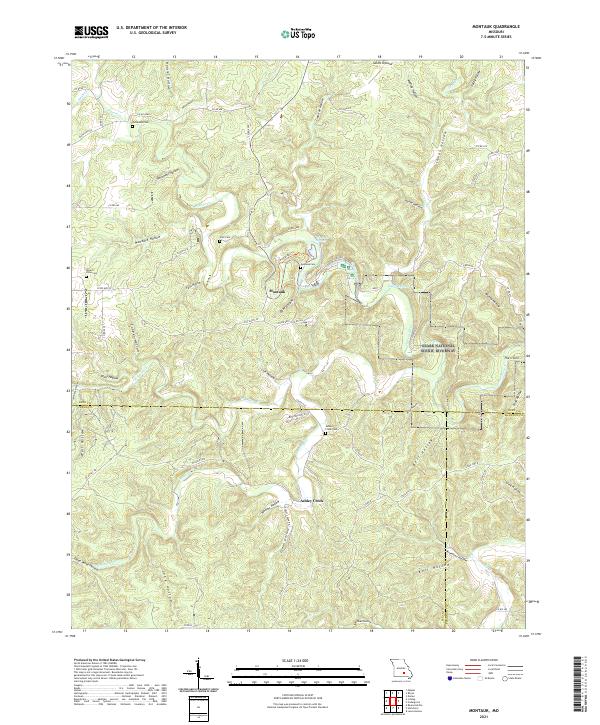 2021 Montauk2021 Print · USGSThe Missouri Ozarks are captured here during a period of preserved river culture and rural continuity. Researchers can trace family history through several local burial grounds, including Montauk Cem and Patterson Cem, or follow the Current River through the Ozark National Scenic Riverway.
 - 2021 Map of Powder Mill Ferry, 2021 Print
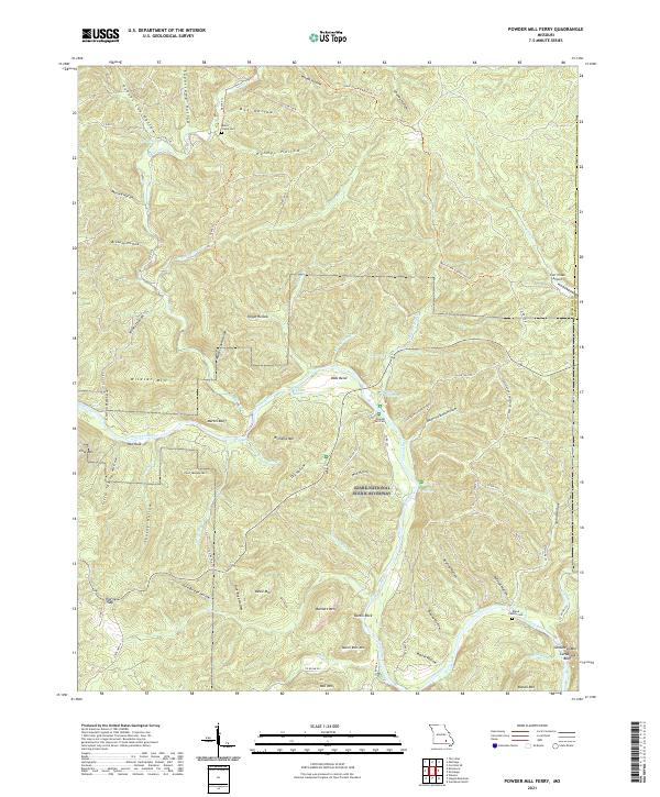 2021 Powder Mill Ferry2021 Print · USGSThe Current River corridor in Shannon County comes to life in this contemporary survey of the Ozark National Scenic Riverways. Researchers can find family landmarks at Blair's Creek Cem and trace the historic crossing at Powder Mill Ferry.
 - 2021 Map of Lewis Hollow, 2021 Print
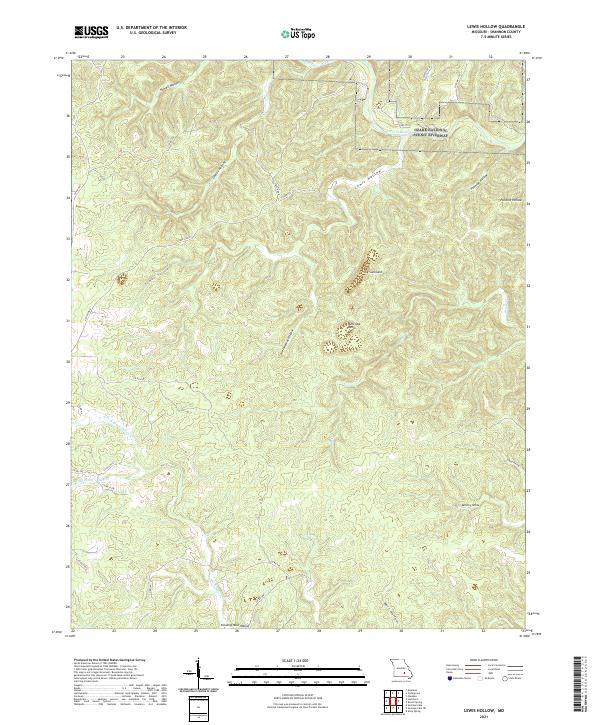 2021 Lewis Hollow2021 Print · USGSShannon County's deep Ozark hollows are captured here in the early twenty-first century, showing the protected corridor of the Current River. Researchers can trace the rugged geography of The Sunkland, Burr Oak Basin, and landmarks like Standing Rock Hollow.
 - 2021 Map of Gladden, 2021 Print
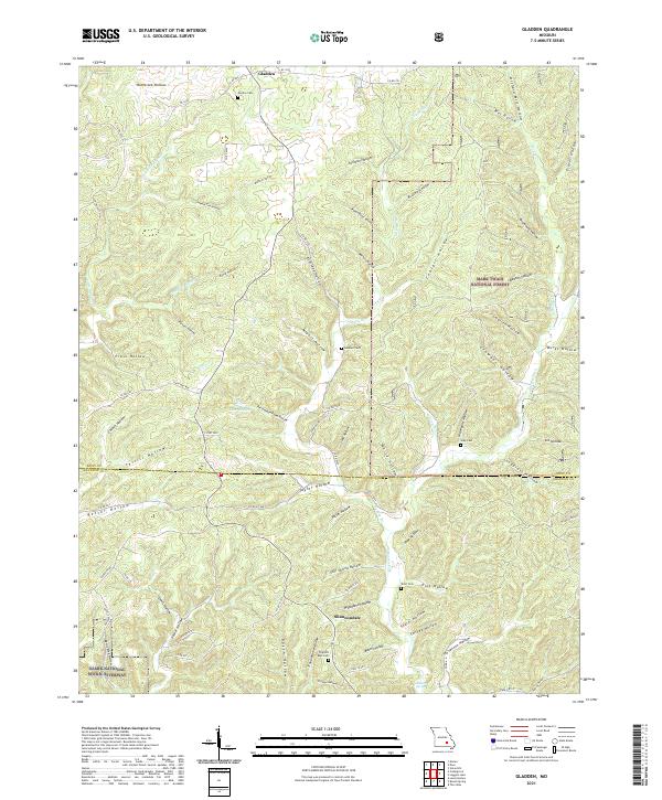 2021 Gladden2021 Print · USGSThe Dent and Shannon County line runs through this Ozark highland area as it appeared in the early 2020s. Genealogists can locate several remote burial sites like Empire Cem and Short Cem tucked among the many named drainages such as McCarter Hollow.
 - 2021 Map of Summersville, 2021 Print
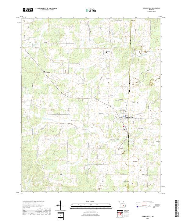 2021 Summersville2021 Print · USGSSummersville sits at the crossroads of Texas and Shannon counties in the early twenty-first century. Researchers can trace rural lineages through several local burial grounds, including Riley Cem, Bethel Cem, and the family-named Pickett Cem.
 - 2021 Map of Loggers Lake, 2021 Print
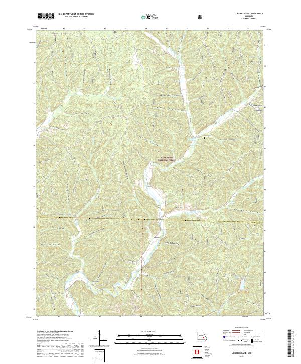 2021 Loggers Lake2021 Print · USGSDent and Shannon Counties remain deeply forested in this contemporary survey of the Missouri Ozarks. Genealogists and historians can trace family roots through remote burial sites like Chatman Cem and Delmar Cem or explore the drainage of Sinking Creek and Loggers Lake.
 - 2021 Map of Summersville NE, 2021 Print
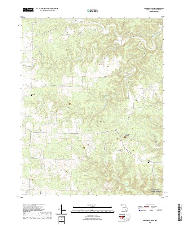 2021 Summersville NE2021 Print · USGSShannon County's karst landscape is captured in the early 2020s, showing a rugged network of hollows and family cemeteries. Genealogists and hikers can locate Barnett Cem, trace the drainage of Casto Valley Cr, or find the massive Forty Acre Sinkhole.
Showing maps 1-25 of 28
Top cities of Shannon County
Frequently asked questions
- What are the different types of historical maps available for Shannon County?
- What is the oldest map of Shannon County?
- Where can I purchase historical maps of Shannon County for my home or office?
- Where can I download high-res historical maps of Shannon County?
- Are there historical topographic maps available for Shannon County?
- Is there historical aerial imagery available for Shannon County?
- Where are historical maps of Shannon County sourced from?