2000s (21st Century) Maps of Shannon County, Missouri
Explore 112 historic maps of Shannon County from the 2000s (21st Century). These maps offer a rare glimpse into what life looked like during the 2000s — showing old roads, neighborhoods, homes, and landmarks that have changed or disappeared over time.
Whether you're researching your family's past, planning a metal detecting trip, or studying how Shannon County's landscape evolved across the 2000s, these high-resolution maps are a powerful tool for exploring the history of this region.
- Focus on a specific era: All maps on this page are from the 2000s, giving you a focused view of this time period.
- See what’s changed: Compare century-old streets, trails, and buildings to today's modern landscape using overlays and satellite layers.
- Research with precision: Use these maps for genealogy, historical research, land use analysis, or educational projects.
- View, download, or print: Maps are fully viewable online in high resolution, and can be downloaded or printed for your own records.
Start exploring Shannon County's history through authentic maps from the 2000s. This is your window into the past.
Shannon County, MO maps
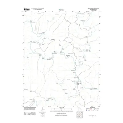
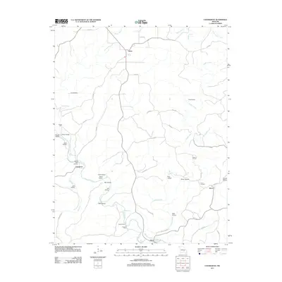
(112)- 2011 Map of Fremont, 2011 Print
 2011 Fremont2011 Print · USGSCovers Shannon County, including Fremont, Carter County, and other nearby areas
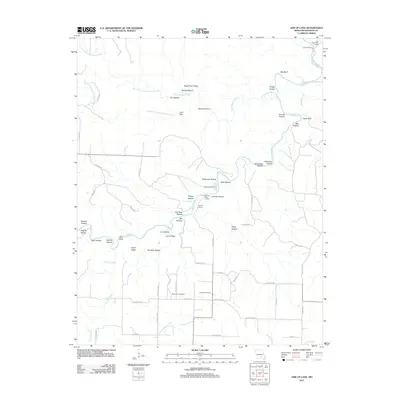
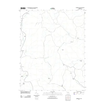
 - 2011 Map of Montier, 2011 Print
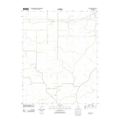 2011 Montier2011 Print · USGSCovers Shannon County, including Birch Tree, Montier, and other nearby areas
 - 2011 Map of The Sinks, 2011 Print
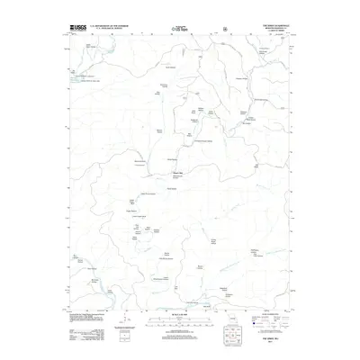 2011 The Sinks2011 Print · USGSCovers Shannon County, including Mauser Mill, United States, and other nearby areas
 - 2011 Map of Montauk, 2011 Print
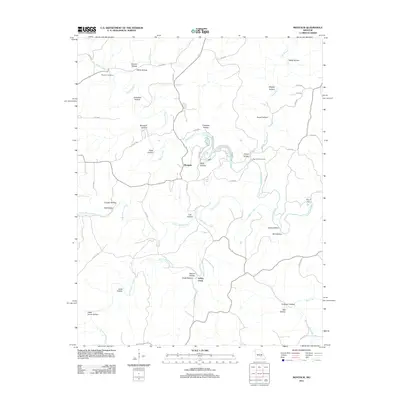 2011 Montauk2011 Print · USGSCovers Shannon County, including Ashley Creek, Montauk, and other nearby areas
 - 2011 Map of Round Spring, 2011 Print
 2011 Round Spring2011 Print · USGSCovers Shannon County, including Ink, Timber, and other nearby areas
 - 2011 Map of Jam Up Cave, 2011 Print
 2011 Jam Up Cave2011 Print · USGSCovers Shannon County, including Birch Tree, United States, and other nearby areas
 - 2011 Map of Van Buren North, 2011 Print
 2011 Van Buren North2011 Print · USGSCovers Shannon County, including Van Buren, Beal, and other nearby areas
 - 2011 Map of Powder Mill Ferry, 2011 Print
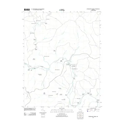 2011 Powder Mill Ferry2011 Print · USGSCovers Shannon County, including Owls Bend, Gang, and other nearby areas
 - 2011 Map of Lewis Hollow, 2011 Print
 2011 Lewis Hollow2011 Print · USGSCovers Shannon County, including United States, Missouri, and other nearby areas
 - 2011 Map of Exchange, 2011 Print
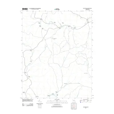 2011 Exchange2011 Print · USGSCovers Shannon County, including Deslet, Reynolds County, and other nearby areas
 - 2011 Map of Winona, 2011 Print
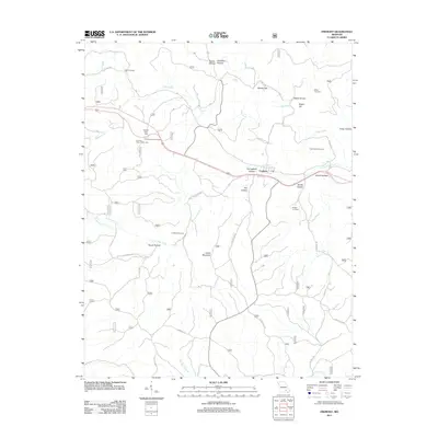
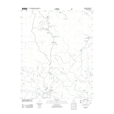 2011 Winona2011 Print · USGSCovers Shannon County, including Winona, Shawne, and other nearby areas
 - 2011 Map of Gladden, 2011 Print
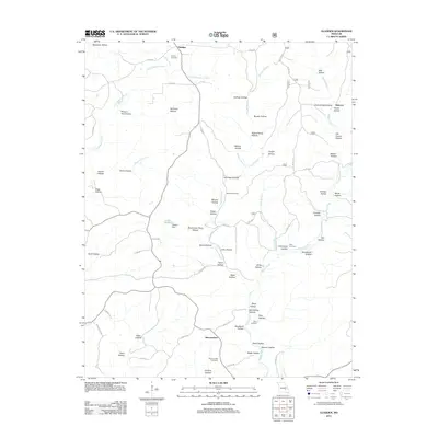 2011 Gladden2011 Print · USGSCovers Shannon County, including Halcyon, Gladden, and other nearby areas
 - 2011 Map of Bartlett, 2011 Print
 2011 Bartlett2011 Print · USGSCovers Shannon County, including Birch Tree, Delaware, and other nearby areas
 - 2011 Map of Cedargrove, 2011 Print
 2011 Cedargrove2011 Print · USGSCovers Shannon County, including Cedargrove, Jadwin, and other nearby areas
 - 2011 Map of Corridon SE, 2011 Print
 2011 Corridon SE2011 Print · USGSCovers Shannon County, including Bedwell, Dagonia, and other nearby areas
 - 2011 Map of Summersville, 2011 Print
 2011 Summersville2011 Print · USGSCovers Shannon County, including Summersville, Midvale, and other nearby areas
 - 2011 Map of Summersville NE, 2011 Print
 2011 Summersville NE2011 Print · USGSCovers Shannon County, including United States, Missouri, and other nearby areas
 - 2011 Map of Stegall Mountain, 2011 Print
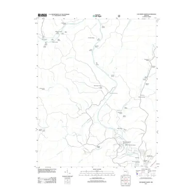
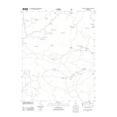 2011 Stegall Mountain2011 Print · USGSCovers Shannon County, including Carter County, United States, and other nearby areas
 - 2011 Map of Alley Spring, 2011 Print
 2011 Alley Spring2011 Print · USGSCovers Shannon County, including Venice, Flatwood, and other nearby areas
 - 2011 Map of Pine Crest, 2011 Print
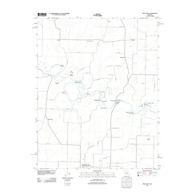 2011 Pine Crest2011 Print · USGSCovers Shannon County, including Mountain View, Harlow Ford, and other nearby areas
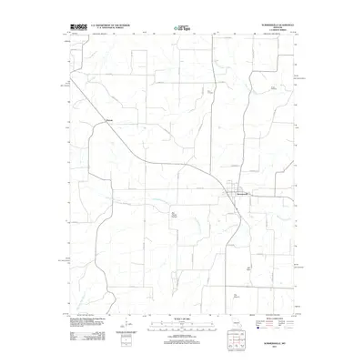
 - 2012 Map of Mountain View, 2012 Print
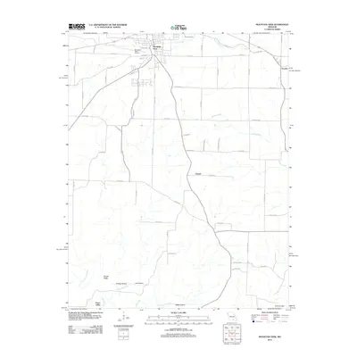 2012 Mountain View2012 Print · USGSCovers Shannon County, including Mountain View, Chapel, and other nearby areas
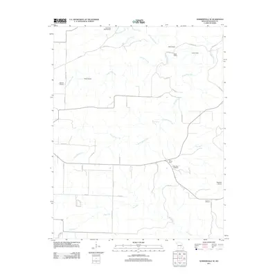
 - 2012 Map of Birch Tree, 2012 Print
 2012 Birch Tree2012 Print · USGSCovers Shannon County, including Birch Tree, Oregon County, and other nearby areas
 - 2012 Map of Low Wassie, 2012 Print
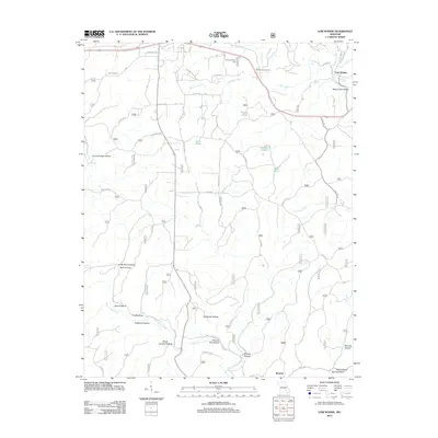 2012 Low Wassie2012 Print · USGSCovers Shannon County, including Winona, Low Wassie, and other nearby areas
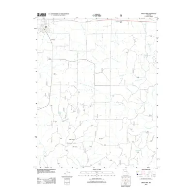
 - 2012 Map of Hartshorn, 2012 Print
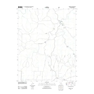
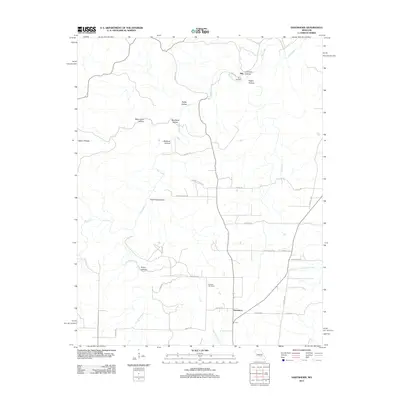 2012 Hartshorn2012 Print · USGSCovers Shannon County, including Hartshorn, Nile, and other nearby areas
 - 2012 Map of Loggers Lake, 2012 Print
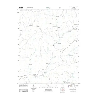 2012 Loggers Lake2012 Print · USGSCovers Shannon County, including Gila, Dent County, and other nearby areas
Showing maps 1-25 of 112
Top cities of Shannon County
Frequently asked questions
- What are the different types of historical maps available for Shannon County?
- What is the oldest map of Shannon County?
- Where can I purchase historical maps of Shannon County for my home or office?
- Where can I download high-res historical maps of Shannon County?
- Are there historical topographic maps available for Shannon County?
- Is there historical aerial imagery available for Shannon County?
- Where are historical maps of Shannon County sourced from?