2010s Maps of Stone County, Missouri
Explore 45 historic maps of Stone County from the 2010s. These maps offer a rare glimpse into what life looked like during the 2010s — showing old roads, neighborhoods, homes, and landmarks that have changed or disappeared over time.
Whether you're researching your family's past, planning a metal detecting trip, or studying how Stone County's landscape evolved across the 2010s, these high-resolution maps are a powerful tool for exploring the history of this region.
- Focus on a specific era: All maps on this page are from the 2010s, giving you a focused view of this time period.
- See what’s changed: Compare century-old streets, trails, and buildings to today's modern landscape using overlays and satellite layers.
- Research with precision: Use these maps for genealogy, historical research, land use analysis, or educational projects.
- View, download, or print: Maps are fully viewable online in high resolution, and can be downloaded or printed for your own records.
Start exploring Stone County's history through authentic maps from the 2010s. This is your window into the past.
Stone County, MO maps
(45)- 2012 Map of Table Rock Dam, 2012 Print
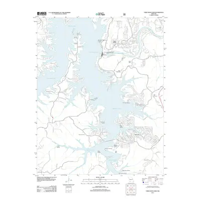 2012 Table Rock Dam2012 Print · USGSThe Ozark hill country around Branson is shown in detail during the early twenty-first century as it balances major hydroelectric infrastructure with modern tourism. Genealogists and locals can pinpoint family burial sites like Goodall Cemetery and trace the residential expansion near Oakmont and Table Rock.
 - 2012 Map of Hurley, 2012 Print
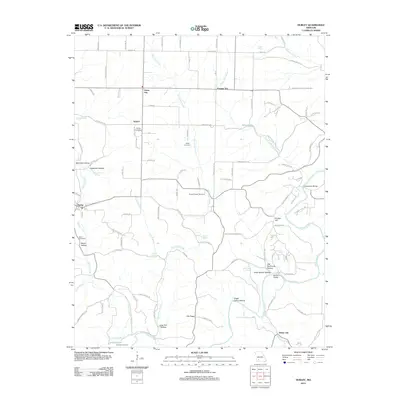 2012 Hurley2012 Print · USGSChristian County's rural landscape is documented here in the early 2010s, showing a region defined by its springs, hollows, and family-named landmarks. Researchers can trace ancestral locations through the many burial grounds like Wright Chapel Cemetery or locate the settlements of Possum Trot and Hurley.
 - 2012 Map of Denver, 2012 Print
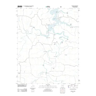 2012 Denver2012 Print · USGSNorthwest Arkansas and the Missouri border country are captured here during the early twenty-first century, centered on the Denver community. Local historians can trace family burial sites at Denver Cemetery and Enon Cemetery or scout the banks of Long Creek.
 - 2012 Map of Cape Fair, 2012 Print
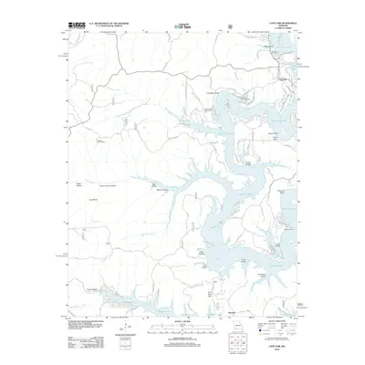 2012 Cape Fair2012 Print · USGSThe Stone County shoreline comes alive in this survey of the Table Rock Lake area in the early 2010s. Researchers can locate family sites near Cape Fair, trace the ridges to the Pineview Lookout Tower, or find the Woolly Creek Community Hall and Cape Fair Cemetery.
 - 2012 Map of Blue Eye, 2012 Print
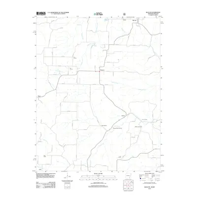 2012 Blue Eye2012 Print · USGSThe Arkansas-Missouri borderlands come into focus in this recent survey of the Carroll County highlands. Researchers can trace the lineage of rural communities through several well-preserved burial sites like Yocum Cemetery and Blue Eye Cemetery or locate family-named features like Hale Spring.
 - 2012 Map of Elsey, 2012 Print
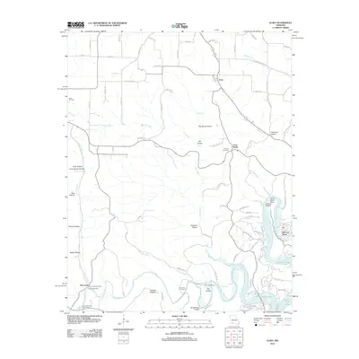 2012 Elsey2012 Print · USGSStone County's Ozark hollows and creek valleys are documented here just after the turn of the millennium. Researchers can locate family landmarks such as Summers Cemetery and the Flat Creek Post Office near Table Rock Lake.
 - 2012 Map of Reeds Spring, 2012 Print
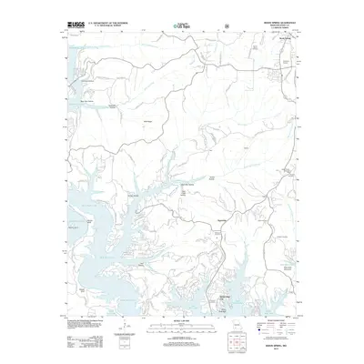 2012 Reeds Spring2012 Print · USGSStone County, Missouri, is shown here during a period of significant shoreline development along the deep inlets of Table Rock Lake. Researchers can trace the layout of Kimberling City and find numerous family burial sites like Philibert Cemetery and Shepherd Cemetery.
 - 2012 Map of Galena, 2012 Print
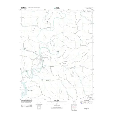 2012 Galena2012 Print · USGSStone County settlements and the winding James River valley are documented here in the early 2010s. Local historians can trace family locations near Parsons Cemetery, Oto, and the bluffs surrounding Galena.
 - 2012 Map of Spokane, 2012 Print
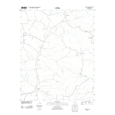 2012 Spokane2012 Print · USGSStone County settlements like Spokane and Abesville are documented here in the early twenty-first century. Family historians can locate family burial sites at Schupbach Cemetery or trace the springs and hollows along Bear Creek.
 - 2012 Map of Crane, 2012 Print
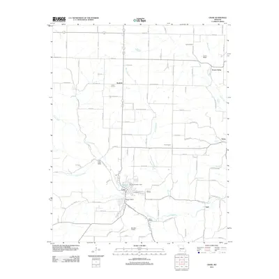 2012 Crane2012 Print · USGSMarionville and the Crane Creek valley come into focus during the early twenty-first century as the local landscape balances small-town centers with rural agriculture. Researchers can trace historic routes like Old Wire Rd and find family sites near Masonic Cemetery or the community of Bradfield.
 - 2012 Map of Highlandville, 2012 Print
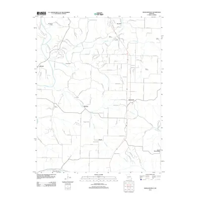 2012 Highlandville2012 Print · USGSChristian County in the early twenty-first century retains its rural character through an extensive network of family cemeteries and river-bottom settlements. Genealogists can trace local lineages at Tory Cemetery, Mayberry Cemetery, and the community of Montague.
 - 2012 Map of Lampe, 2012 Print
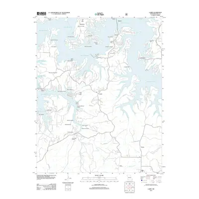 2012 Lampe2012 Print · USGSThe Missouri Ozarks around Table Rock Lake appear in high detail during this era of modern recreation and lakeside settlement. Genealogists and local historians can trace family locations near Blue Eye, Kimberling Cemetery, and the vanished site of Marmaros.
 - 2012 Map of Viola, 2012 Print
 2012 Viola2012 Print · USGSTable Rock Lake defines the landscape of Barry County in the early twenty-first century, where modern lakefront living meets deep-rooted Ozark settlements. Researchers can trace family history through sites like Field Cemetery, McGuire Cemetery, and the community of Carr Lane.
 - 2012 Map of Grandview, 2012 Print
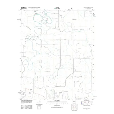 2012 Grandview2012 Print · USGSNorthwest Arkansas in the early twenty-first century is captured here as the landscape transitions from the outskirts of Berryville to the banks of the Kings River. Researchers can locate several family cemeteries, including Jones Cemetery and Blackjack Cemetery, alongside small settlements like Grandview and Urbanette.
 - 2012 Map of Garber, 2012 Print
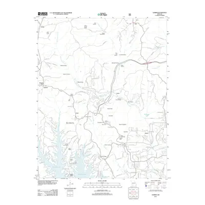 2012 Garber2012 Print · USGSThe Ozark plateau near Branson comes alive in this 2012 study of the region's tourism and terrain. Researchers can find landmark locations like Silver Dollar City, the historic Marvel Cave, and family burial grounds such as Evergreen Cemetery.
 - 2014 Map of Blue Eye, 2014 Print
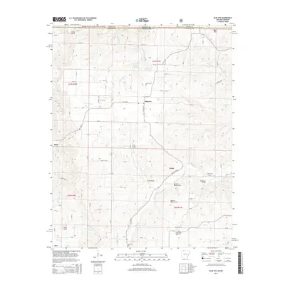 2014 Blue Eye2014 Print · USGSThe Missouri-Arkansas state line runs through the heart of the Ozarks during this modern era of settlement. Genealogists can trace family names through numerous hilltop burial sites such as Yocum Cem and Parker Cem near the winding Yocum Cr.
 - 2014 Map of Grandview, 2014 Print
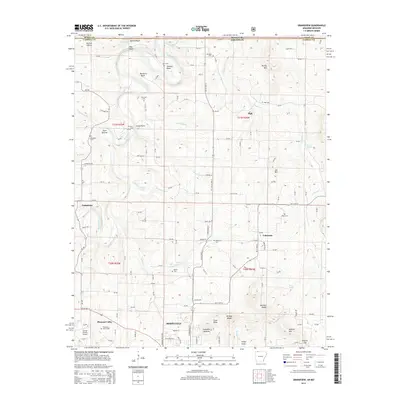 2014 Grandview2014 Print · USGSThe Ozark highlands near the Arkansas-Missouri border are documented here in 2014, showing the winding Kings River and the rural communities of Grandview and Urbanette. Local historians can trace numerous family burial grounds like Bunch Cem and Blackjack Cem set against landmarks like Brother Knobs.
 - 2014 Map of Denver, 2014 Print
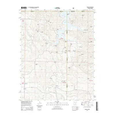 2014 Denver2014 Print · USGSThe Arkansas-Missouri borderlands come alive in the mid-2010s, showing the rugged intersection of Table Rock Lake and the rural Ozark highlands. Genealogists can locate family landmarks like Denver Cem, Enon Cem, and settlements such as Denver and Farewell.
 - 2015 Map of Cape Fair, 2015 Print
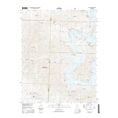 2015 Cape Fair2015 Print · USGSStone and Barry counties are defined by the intricate shoreline of Table Rock Lake and the wooded hills of the Ozarks in the 2010s. Researchers can locate family landmarks like Cape Fair Cemetery, explore the terrain of Virgin Bluff, or trace the winding hollows near Norwalk.
 - 2015 Map of Hurley, 2015 Print
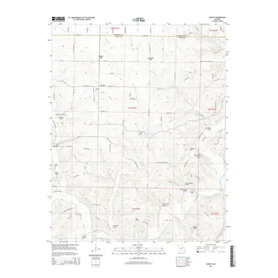 2015 Hurley2015 Print · USGSThe Missouri Ozarks at the Stone and Christian county line come alive in this mid-2010s survey. Researchers can trace rural lineages through local landmarks like Wright Cemetery, Possum Trot, and the Hootentown Natural Arch along the James River.
 - 2015 Map of Lampe, 2015 Print
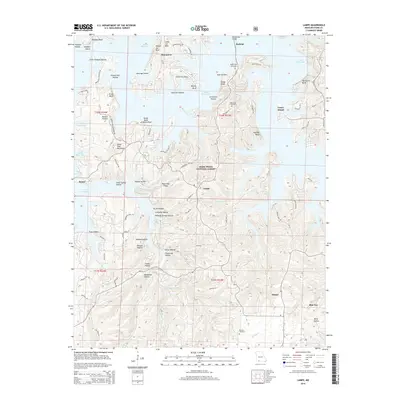 2015 Lampe2015 Print · USGSThe Stone County lake country is captured here in the mid-2010s, showing the complex interaction between modern reservoir life and the deep Ozark hollows. Genealogists and hikers can trace old family burial sites like Rhodes Cemetery and prominent landmarks like Bread Tray Mountain.
 - 2015 Map of Reeds Spring, 2015 Print
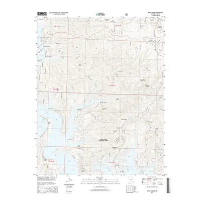 2015 Reeds Spring2015 Print · USGSKimberling City and the surrounding Stone County highlands appear here in the mid-2010s, defined by the winding waters of Table Rock Lake. Researchers can locate several historic burial grounds including Yocum Pond Cemetery, Mead Cemetery, and Philbert Cemetery.
 - 2015 Map of Viola, 2015 Print
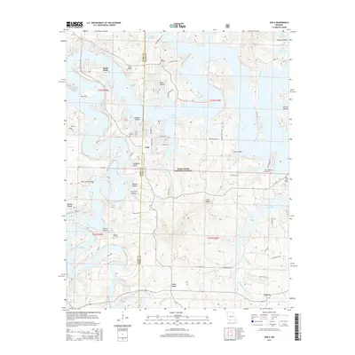 2015 Viola2015 Print · USGSThe Barry and Stone County borderlands are shown here in the mid-2010s, defined by the winding waters of the Ozarks. Researchers can trace the layout of Shell Knob, find the The Peninsula Airport, or locate family sites like Viola Cemetery and McGuire Cemetery.
 - 2015 Map of Galena, 2015 Print
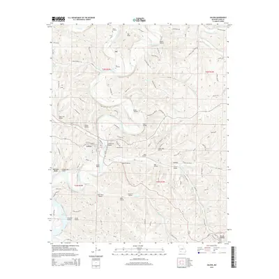 2015 Galena2015 Print · USGSThe James River valley south of Galena is shown here in the mid-2010s, capturing the winding waterways and ridges of Stone County. Genealogists and local historians can locate Parsons Cemetery, Bass Cemetery, and landmarks like Butler Bluffs and McCord Bend.
 - 2015 Map of Elsey, 2015 Print
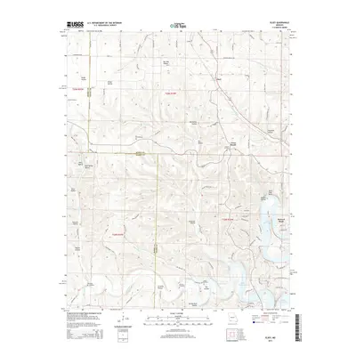 2015 Elsey2015 Print · USGSThe Missouri Ozarks are captured here in the mid-2010s, showing a landscape of deep hollows and the waters of Table Rock Lake. Researchers can trace local genealogy through numerous sites like Summers and Noland Cemetery, or find the community of Elsey along the county line.
Showing maps 1-25 of 45
Top cities of Stone County
- Kimberling City historical maps
- Crane historical maps
- Reeds Spring historical maps
- Galena historical maps
- Branson West historical maps
- McCord Bend historical maps
See more
Frequently asked questions
- What are the different types of historical maps available for Stone County?
- What is the oldest map of Stone County?
- Where can I purchase historical maps of Stone County for my home or office?
- Where can I download high-res historical maps of Stone County?
- Are there historical topographic maps available for Stone County?
- Is there historical aerial imagery available for Stone County?
- Where are historical maps of Stone County sourced from?