2010s Maps of Texas County, Missouri
Explore 87 historic maps of Texas County from the 2010s. These maps offer a rare glimpse into what life looked like during the 2010s — showing old roads, neighborhoods, homes, and landmarks that have changed or disappeared over time.
Whether you're researching your family's past, planning a metal detecting trip, or studying how Texas County's landscape evolved across the 2010s, these high-resolution maps are a powerful tool for exploring the history of this region.
- Focus on a specific era: All maps on this page are from the 2010s, giving you a focused view of this time period.
- See what’s changed: Compare century-old streets, trails, and buildings to today's modern landscape using overlays and satellite layers.
- Research with precision: Use these maps for genealogy, historical research, land use analysis, or educational projects.
- View, download, or print: Maps are fully viewable online in high resolution, and can be downloaded or printed for your own records.
Start exploring Texas County's history through authentic maps from the 2010s. This is your window into the past.
Texas County, MO maps
(87)- 2011 Map of Elk Creek, 2011 Print
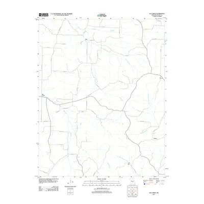 2011 Elk Creek2011 Print · USGSElk Creek and its surrounding hamlets are captured here during the early 2000s, reflecting a landscape of dispersed farmsteads and rural routes. Researchers can trace family-named locations such as the Louisa Post Office and small settlements like Solo and Tyrone.
 - 2011 Map of Montauk, 2011 Print
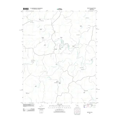 2011 Montauk2011 Print · USGSThe Ozark headwaters near the Current River are captured here in the early twenty-first century, centered on the natural springs and deep hollows of Texas County. Researchers can trace family names and local geography through Paterson Cemetery, Montauk State Park, and Ashley Creek.
 - 2011 Map of Licking, 2011 Print
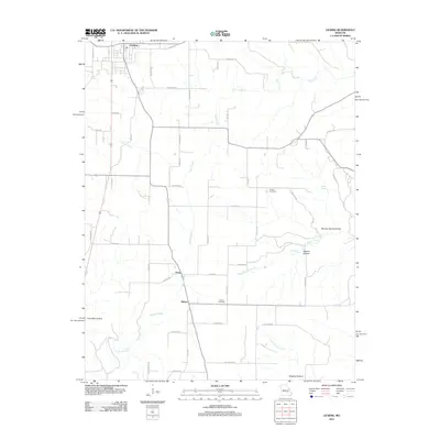 2011 Licking2011 Print · USGSTexas County rural life is captured in the early twenty-first century, showing the northern Missouri hills where the town of Licking meets the Ozark landscape. Researchers can locate family sites near Presser Cemetery and trace the paths of Bender Creek and Boone Creek.
 - 2011 Map of Maples, 2011 Print
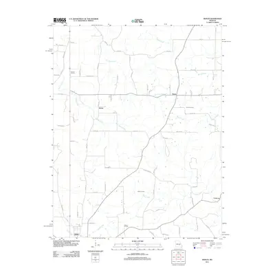 2011 Maples2011 Print · USGSThe rural landscapes of Texas County come into focus during the early twenty-first century, centered on the community of Licking. Genealogists can trace family landmarks and burial sites at Hutchison Cemetery, Concord Cemetery, and the small settlement of Maples.
 - 2011 Map of Prescott, 2011 Print
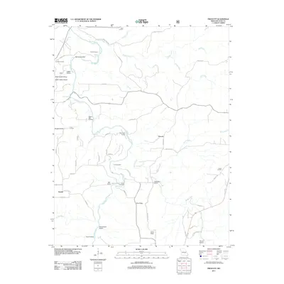 2011 Prescott2011 Print · USGSTexas County, Missouri, remained a landscape of river-fed hollows and family homesteads in the early 2010s. Researchers can trace deep local roots at Sliger Cemetery or Antioch Cemetery and follow the rugged path of the Big Piney River past Narrow Gap Bluff.
 - 2011 Map of Raymondville, 2011 Print
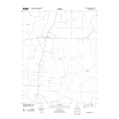 2011 Raymondville2011 Print · USGSTexas County, Missouri, is captured here in the early twenty-first century, showing the rural communities and rugged hollows of the Ozark plateau. Genealogists and local historians can trace the roads around Raymondville, find the Allen Cemetery, or locate Bear Claw Spring.
 - 2011 Map of Summersville, 2011 Print
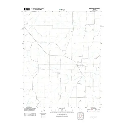 2011 Summersville2011 Print · USGSSummersville and the surrounding Missouri countryside are captured here in the early twenty-first century. Genealogists and local historians can locate family sites near Pickett Cemetery, Riley Cemetery, and the settlement of Midvale.
 - 2011 Map of Eunice, 2011 Print
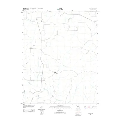 2011 Eunice2011 Print · USGSTexas County communities and their surrounding Ozark waterways are captured here in the early 2000s. Researchers can trace rural settlement patterns at Eunice and Nagle, or locate family landmarks near the Nagle Post Office and Lake Gemay.
 - 2011 Map of Beulah, 2011 Print
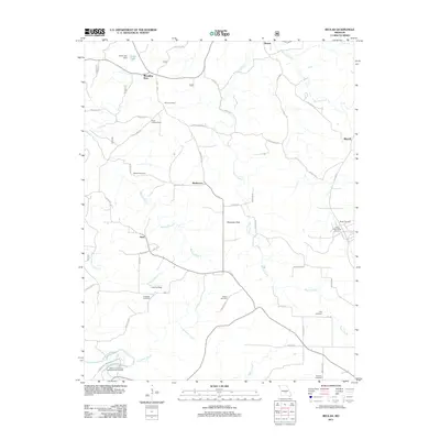 2011 Beulah2011 Print · USGSTexas County, Missouri, in the early 21st century remains a landscape of deep hollows, creek-side settlements, and managed forest. Researchers can trace family history at Vancleve Cemetery or Wilhite Cemetery, and locate landmarks like the Texas Lookout Tower and Zenender Sink.
 - 2011 Map of Pine Crest, 2011 Print
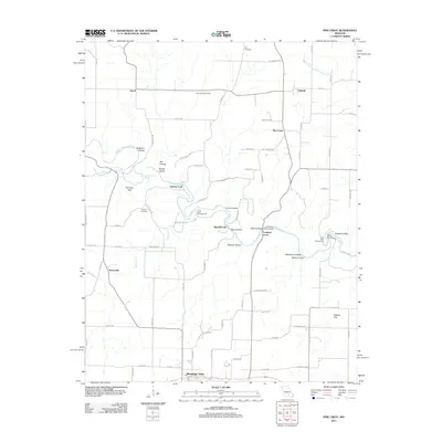 2011 Pine Crest2011 Print · USGSMountain View and the Jacks Fork river valley are captured here in the early twenty-first century, showing a landscape of rural communities and river crossings. Researchers can locate family landmarks like Harlow Cemetery, historical river spots like the Baptizing Hole, and rural centers at Arroll and Oakside.
 - 2011 Map of Cabool NW, 2011 Print
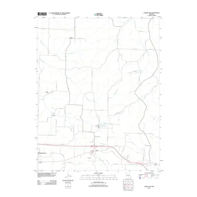 2011 Cabool NW2011 Print · USGSTexas County, Missouri, at the start of the 2010s reveals a landscape of high ridges and winding river headwaters. Researchers can trace family sites near Canada Cemetery or follow the paths of the Big Piney River and Little Piney River through Dunn and Fowler.
 - 2011 Map of Huggins, 2011 Print
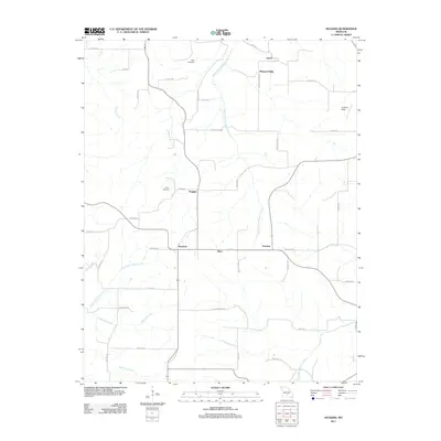 2011 Huggins2011 Print · USGSTexas County settlements and Ozark headwaters are captured here during the early twenty-first century. Family historians and researchers can locate Tuttle Cemetery, White Cemetery, and trace the rural roads connecting Huggins and Bendavis.
 - 2011 Map of Mountain Grove North, 2011 Print
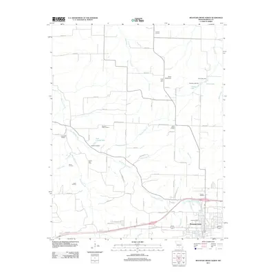 2011 Mountain Grove North2011 Print · USGSMountain Grove and the surrounding Wright County countryside are captured here in the early twenty-first century. Researchers can locate numerous family and community landmarks, from the Antler Post Office to historic burial grounds like Swede Cemetery and Helum Cemetery.
 - 2012 Map of Cabool SE, 2012 Print
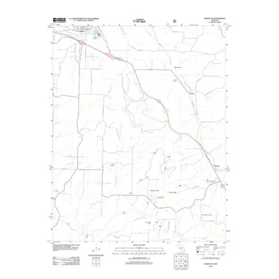 2012 Cabool SE2012 Print · USGSTexas County settlements and rural cemeteries are documented in this early twenty-first-century survey south of the Big Piney River. Researchers can trace local lineage through the Jones Cemetery and Spring Valley Cemetery or locate the Sterling Lookout Tower and John Foster Dam.
 - 2012 Map of Roby, 2012 Print
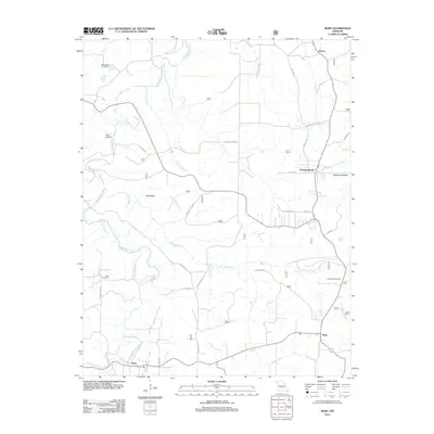 2012 Roby2012 Print · USGSTexas County, Missouri, is captured here in the early twenty-first century, showing the enduring rural layout of the Ozark hills. Researchers can pinpoint Macedonia Cemetery, trace the winding Roubidoux Creek, and locate landmarks like the Roby Lookout Tower.
 - 2012 Map of Roubidoux, 2012 Print
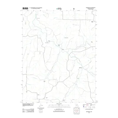 2012 Roubidoux2012 Print · USGSTexas County, Missouri, is shown here in the early 2010s as a landscape of deep hollows and rural outposts along Roubidoux Creek. Family historians can trace local roots through several sites like Lynch Cemetery, Old Union Cemetery, and the Embree Post Office.
 - 2012 Map of Cabool SW, 2012 Print
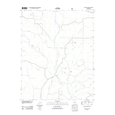 2012 Cabool SW2012 Print · USGSTexas County rural life is captured in the early twenty-first century as the Ozark landscape remains centered on the North Fork River valley. Genealogists and local researchers can locate the Macedonia Cemetery, Little Creek School, and the settlement of Ann.
 - 2012 Map of Dawson, 2012 Print
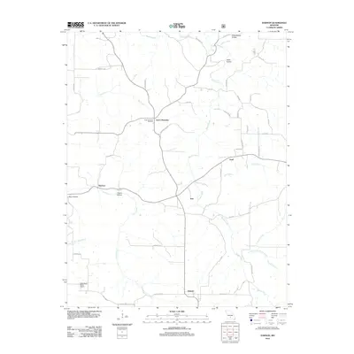 2012 Dawson2012 Print · USGSWright County at the start of the 2010s shows a landscape of dispersed rural settlements and complex Ozark drainages. Researchers can trace family history at the Green Mountain Cemetery or locate old community hubs like Graff, Rayborn, and Dawson.
 - 2012 Map of Success, 2012 Print
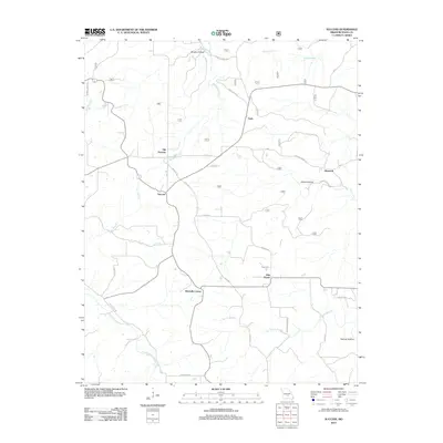 2012 Success2012 Print · USGSTexas County, Missouri, is captured here in the early twenty-first century as a landscape of rural crossroads and Ozark hollows. Researchers can pinpoint the location of Old Success and Ellsworth, or trace the winding course of East Fork Roubidoux Creek.
 - 2012 Map of Mountain Grove South, 2012 Print
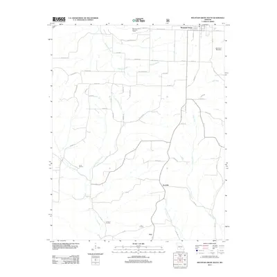 2012 Mountain Grove South2012 Print · USGSThe rural terrain south of Mountain Grove comes into focus in the early 2010s. Genealogists and local historians can trace family locations near Strunk Cemetery, the settlement of Goodville, and the banks of Whetstone Creek.
 - 2012 Map of Slabtown Spring, 2012 Print
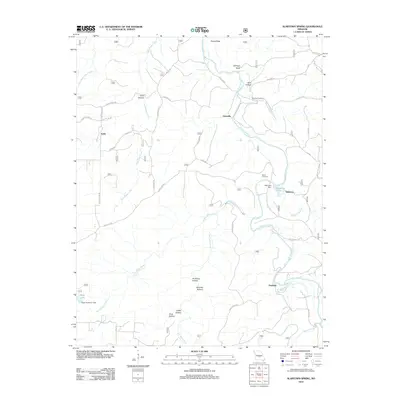 2012 Slabtown Spring2012 Print · USGSThe Big Piney River corridor in Texas County comes into focus in this early twenty-first-century survey. Genealogists and local historians can trace family landmarks like Omalley Cemetery and the riverfront communities of Hazleton and Slabtown.
 - 2012 Map of Hartshorn, 2012 Print
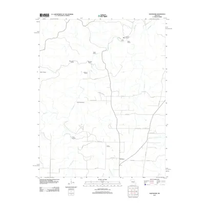 2012 Hartshorn2012 Print · USGSTexas County, Missouri, is captured in this recent survey during a period of quiet rural continuity. Researchers can locate family landmarks like the Smith Cemetery and Antioch Cemetery or trace the hollows of the Salem Plateau, including Rebel Cave Hollow.
 - 2012 Map of Clear Springs, 2012 Print
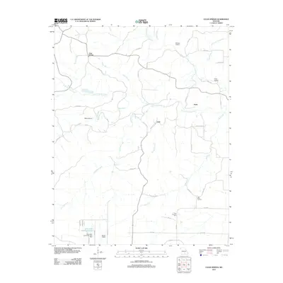 2012 Clear Springs2012 Print · USGSTexas County at the turn of the decade remains a landscape of dispersed settlements and intricate Ozark waterways. Researchers can trace family sites near Clear Springs, locate the New Salem Cemetery, or map the forks of the South Prong Jacks Fork.
 - 2012 Map of Willow Springs North, 2012 Print
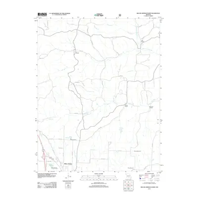 2012 Willow Springs North2012 Print · USGSWillow Springs and the Ozark backcountry are captured here in the early twenty-first century as rural life centered on the local creek network. Genealogists and local hikers can trace family-named terrain like Pine Hollow and the banks of the Eleven Point River.
 - 2012 Map of Houston, 2012 Print
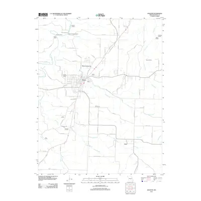 2012 Houston2012 Print · USGSHouston and its surrounding Texas County highlands appear here in the early twenty-first century, anchored by the branching waters of the Big Piney River. Researchers can trace local heritage through sites like Duke Cemetery, the Sunset Drive-In, and the rural community of Samoa.
Showing maps 1-25 of 87
Top cities of Texas County
- Sherrill historical maps
- Cabool historical maps
- Houston historical maps
- Roubidoux historical maps
- Licking historical maps
- Upton historical maps
See more
Frequently asked questions
- What are the different types of historical maps available for Texas County?
- What is the oldest map of Texas County?
- Where can I purchase historical maps of Texas County for my home or office?
- Where can I download high-res historical maps of Texas County?
- Are there historical topographic maps available for Texas County?
- Is there historical aerial imagery available for Texas County?
- Where are historical maps of Texas County sourced from?