2010s Maps of Agency District, Montana
Explore 54 historic maps of Agency District from the 2010s. These maps offer a rare glimpse into what life looked like during the 2010s — showing old roads, neighborhoods, homes, and landmarks that have changed or disappeared over time.
Whether you're researching your family's past, planning a metal detecting trip, or studying how Agency District's landscape evolved across the 2010s, these high-resolution maps are a powerful tool for exploring the history of this region.
- Focus on a specific era: All maps on this page are from the 2010s, giving you a focused view of this time period.
- See what’s changed: Compare century-old streets, trails, and buildings to today's modern landscape using overlays and satellite layers.
- Research with precision: Use these maps for genealogy, historical research, land use analysis, or educational projects.
- View, download, or print: Maps are fully viewable online in high resolution, and can be downloaded or printed for your own records.
Start exploring Agency District's history through authentic maps from the 2010s. This is your window into the past.
Agency District, MT maps
(54)- 2011 Map of Big Flat West, 2011 Print
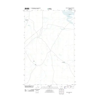 2011 Big Flat West2011 Print · USGSBig Flat West in the early 21st century is defined by the vital water infrastructure of the Lodge Pole District. Researchers can trace the path of Indian Hwy 8 and locate specific engineered sites like the Weigand Reservoir and Fort Belknap Number 16 Dam.
 - 2011 Map of Newhouse Reservoir, 2011 Print
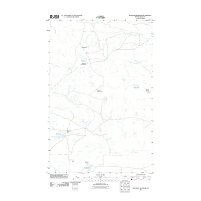 2011 Newhouse Reservoir2011 Print · USGSBlaine County's high plains are documented here in the early twenty-first century, showing a landscape defined by water management and ranching. Researchers can trace the drainage of Peoples Creek and locate local landmarks like Newhouse Reservoir, Dogwood Dam, and Gruszie Dam.
 - 2011 Map of Lodge Pole NE, 2011 Print
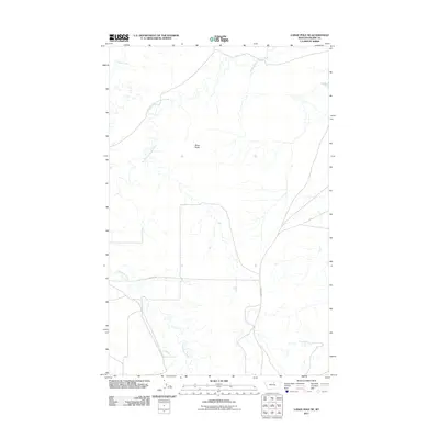 2011 Lodge Pole NE2011 Print · USGSThe Lodge Pole District in Blaine County comes into focus in this contemporary survey of the Montana plains. Researchers can trace the courses of Peoples Creek and Lodge Pole Creek alongside regional landmarks like Black Butte.
 - 2011 Map of Fort Belknap Agency SE, 2011 Print
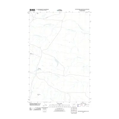 2011 Fort Belknap Agency SE2011 Print · USGSThe Agency District of Montana's Blaine County is shown in detail during the early 21st century, centered on the vital water systems of the plains. Trace the irrigation and livestock infrastructure of the era through the Fort Belknap Number 18 Dam and Snake Butte.
 - 2011 Map of Coburg, 2011 Print
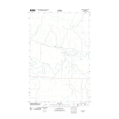 2011 Coburg2011 Print · USGSThe Milk River valley in north-central Montana is captured here in the early twenty-first century, showing a landscape shaped by irrigation and river meanders. Genealogists and local historians can trace the rural infrastructure around Coburg, including the Main Canal and Mayflower Dam.
 - 2011 Map of Threemile Reservoir, 2011 Print
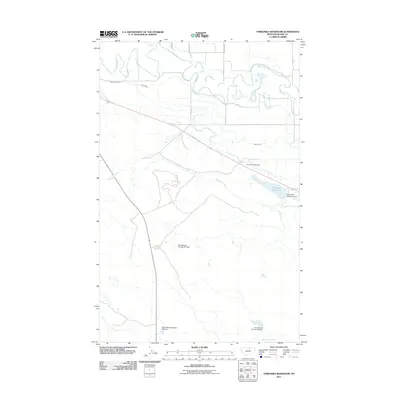 2011 Threemile Reservoir2011 Print · USGSThe Agency District of Montana's Blaine County is shown here in the early 2000s, characterized by its vital irrigation networks and the winding Milk River. Researchers can trace local landmarks like Sacred Heart Cemetery or the infrastructure of the Fort Belknap Number 37 Dam.
 - 2011 Map of Big Coulee, 2011 Print
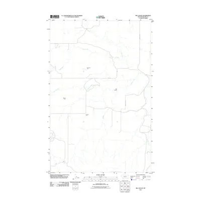 2011 Big Coulee2011 Print · USGSBlaine County in the early twenty-first century is defined by its water-management infrastructure and vast drainage networks. Researchers can trace the path of Snake Creek through the Big Coulee and locate specific features like Brinkman Dam and Hansen Dam.
 - 2011 Map of Lodge Pole NW, 2011 Print
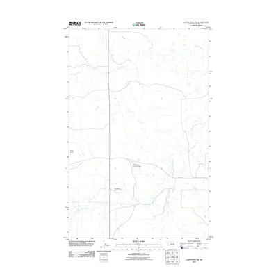 2011 Lodge Pole NW2011 Print · USGSThe Agency District of Montana is shown in the early twenty-first century, revealing a landscape shaped by the drainage of the Fort Belknap Reservation. Researchers can trace the paths of Peoples Creek and locate water infrastructure like Fort Belknap Number 35 Dam.
 - 2011 Map of Bigby Lake, 2011 Print
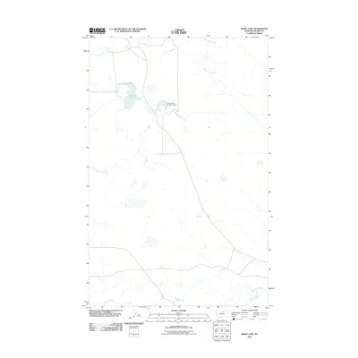 2011 Bigby Lake2011 Print · USGSThe Agency District of Blaine County appears in the early twenty-first century as a landscape of prairie drainages and water infrastructure. Researchers can trace the courses of White Bear Creek, Fifteenmile Creek, and the engineering of the Fort Belknap Number 10 Dam.
 - 2011 Map of Putnam Lake, 2011 Print
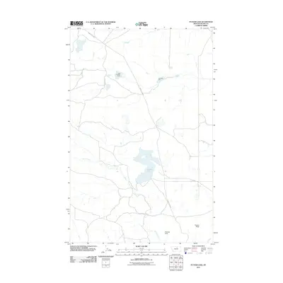 2011 Putnam Lake2011 Print · USGSBlaine County's high plains terrain and water infrastructure are captured here in the early twenty-first century. Researchers can locate remote landmarks like Haystack Butte and rural infrastructure including Olive Oil Dam or Putnam Lake.
 - 2011 Map of Weigand Reservoir, 2011 Print
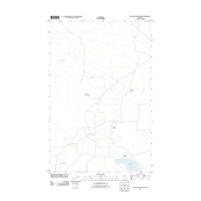 2011 Weigand Reservoir2011 Print · USGSBlaine County's Agency District is documented here in the early twenty-first century, showing a landscape shaped by water management and tribal land use. Researchers can trace the path of Peoples Creek and locate infrastructure like the Fort Belknap Number 40 Dam and Weigand Reservoir.
 - 2011 Map of Fort Belknap Agency, 2011 Print
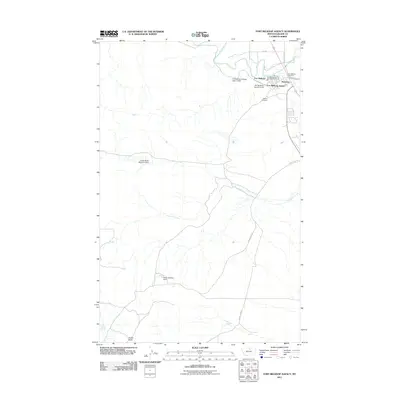 2011 Fort Belknap Agency2011 Print · USGSThe Agency District of Montana comes into focus in the early 2010s, showing the vital river-and-canal infrastructure of the Fort Belknap Reservation. Researchers can locate the Agency Cemetery and the settlement of Newtown, or trace landmarks like Snake Butte and Indian Bathtub Dam.
 - 2011 Map of Wild Horse Butte, 2011 Print
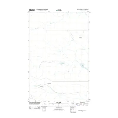 2011 Wild Horse Butte2011 Print · USGSBlaine County's high plains are revealed in this 2011 study of the Agency District's water infrastructure and terrain. Researchers can trace land use through a series of numbered dams, from Fort Belknap Number 41 Dam to the waters of Old Woman Reservoir and Wild Horse Spring.
 - 2011 Map of Fort Belknap Siding, 2011 Print
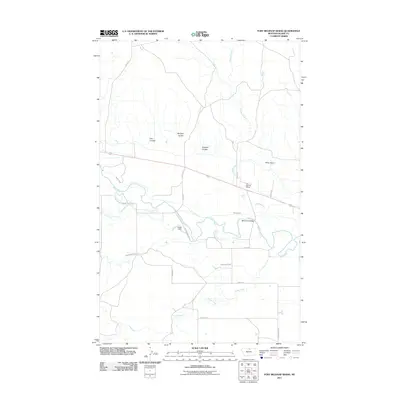 2011 Fort Belknap Siding2011 Print · USGSThe Milk River valley in Blaine County remains a landscape of irrigation and ranching in the early twenty-first century. Genealogists and historians can trace the rural layout near Fort Belknap Siding, the Milk River Bridge, and New Hope.
 - 2011 Map of Harlem, 2011 Print
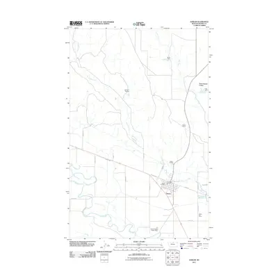 2011 Harlem2011 Print · USGSHarlem and its surrounding Milk River valley are documented here in the early twenty-first century. Genealogists and local historians can locate the Harlem Cemetery, trace the path of the Harlem Canal, and find outlying settlements like the North Harlem Colony.
 - 2011 Map of Savoy, 2011 Print
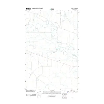 2011 Savoy2011 Print · USGSBlaine County's river-bottom lands and irrigation networks are on full display in this early 2000s survey. Researchers can locate the Fort Belknap Cemetery and trace the paths of Main Canal A and the Milk River near the settlement of Savoy.
 - 2011 Map of Grable Coulee, 2011 Print
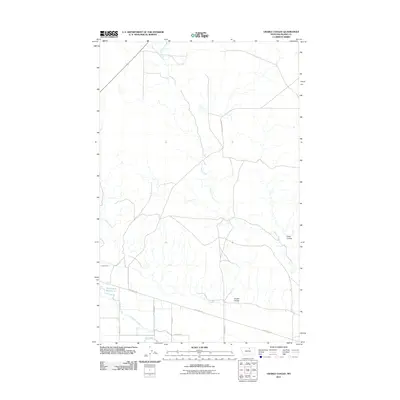 2011 Grable Coulee2011 Print · USGSBlaine County's ranching country and the Milk River valley are captured in this early 21st-century record of the Montana plains. Researchers can trace the drainage of Grable Coulee and Harts Coulee or locate regional water features like Thirtymile Reservoir.
 - 2011 Map of Lake Seventeen NE, 2011 Print
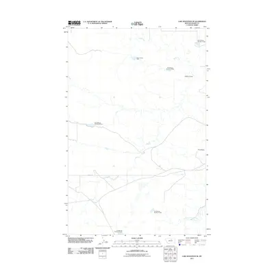 2011 Lake Seventeen NE2011 Print · USGSThe Agency District of Blaine County is seen here in the early twenty-first century, showing a landscape shaped by water management. Genealogists and researchers can trace the drainages of Peoples Creek and locate historic water works like Many People Dam and Fort Belknap Number 28 Dam.
 - 2014 Map of Fort Belknap Agency, 2014 Print
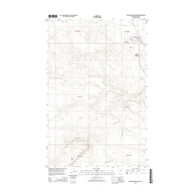 2014 Fort Belknap Agency2014 Print · USGSThe Milk River valley and the Agency District of Blaine County are documented here in the early 2010s. Researchers can locate community landmarks such as Newtown, Ft Belknap Coll, and the Agency Cem near the historic Fort Belknap Agency.
 - 2014 Map of Threemile Reservoir, 2014 Print
 2014 Threemile Reservoir2014 Print · USGSThe Fort Belknap Reservation landscape is captured here in the early twenty-first century, showing the vital intersection of the Milk River and its irrigation network. Researchers can trace local landmarks like Sacred Heart Cem and the administrative hub at Fort Belknap Agency.
 - 2014 Map of Weigand Reservoir, 2014 Print
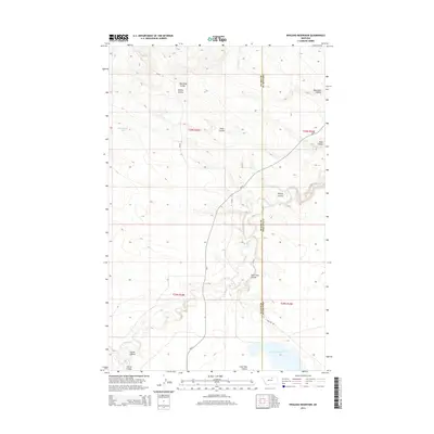 2014 Weigand Reservoir2014 Print · USGSThe Blaine and Phillips county line near the Agency District comes into focus in this early twenty-first-century survey. Researchers can trace the network of drainage coulees and remote water sources including Old Woman Lake, Peoples Cr, and Weigand Reservoir.
 - 2014 Map of Fort Belknap Siding, 2014 Print
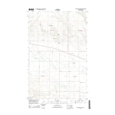 2014 Fort Belknap Siding2014 Print · USGSBlaine County's river-fed agricultural corridor is documented here in the early twenty-first century. Researchers can trace irrigation history and transit patterns near Fort Belknap Siding and along the banks of the Milk River and Harlem Canal.
 - 2014 Map of Lodge Pole NE, 2014 Print
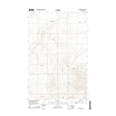 2014 Lodge Pole NE2014 Print · USGSThe Lodge Pole District of Montana is shown here in the early twenty-first century, featuring the drainage systems of the high plains. Genealogists and researchers can trace the routes of BIA-129 and BIA-8 past landmarks like Black Butte and Corral Coulee.
 - 2014 Map of Lodge Pole NW, 2014 Print
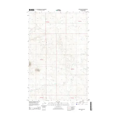 2014 Lodge Pole NW2014 Print · USGSBlaine County's high plains are documented here in the early twenty-first century, showing the enduring drainage patterns of the Fort Belknap area. Genealogists and researchers can trace the course of Peoples Cr and locate prominent landmarks like Three Buttes.
 - 2014 Map of Coburg, 2014 Print
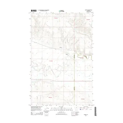 2014 Coburg2014 Print · USGSNorthern Montana's agricultural and river landscape is detailed in this 2014 survey near the Blaine and Phillips county line. Researchers can trace local landmarks like Coburg, the Milk River Bridge, and the extensive Main Canal irrigation system.
Showing maps 1-25 of 54
Top cities near Agency District
Top neighborhoods of Agency District
Frequently asked questions
- What are the different types of historical maps available for Agency District?
- What is the oldest map of Agency District?
- Where can I purchase historical maps of Agency District for my home or office?
- Where can I download high-res historical maps of Agency District?
- Are there historical topographic maps available for Agency District?
- Is there historical aerial imagery available for Agency District?
- Where are historical maps of Agency District sourced from?