2020s Maps of Custer County, Montana
Explore 182 historic maps of Custer County from the 2020s. These maps offer a rare glimpse into what life looked like during the 2020s — showing old roads, neighborhoods, homes, and landmarks that have changed or disappeared over time.
Whether you're researching your family's past, planning a metal detecting trip, or studying how Custer County's landscape evolved across the 2020s, these high-resolution maps are a powerful tool for exploring the history of this region.
- Focus on a specific era: All maps on this page are from the 2020s, giving you a focused view of this time period.
- See what’s changed: Compare century-old streets, trails, and buildings to today's modern landscape using overlays and satellite layers.
- Research with precision: Use these maps for genealogy, historical research, land use analysis, or educational projects.
- View, download, or print: Maps are fully viewable online in high resolution, and can be downloaded or printed for your own records.
Start exploring Custer County's history through authentic maps from the 2020s. This is your window into the past.
Custer County, MT maps
(182)- 2020 Map of Whitney Creek, 2020 Print
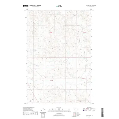 2020 Whitney Creek2020 Print · USGSCuster County ranching country is mapped here in the modern era, showing the rugged divide of The Pine Hills. Researchers can trace the essential water sources of this arid landscape, including Bircher Springs and Finn Springs along the local ranch roads.
 - 2020 Map of Blacktail Creek NW, 2020 Print
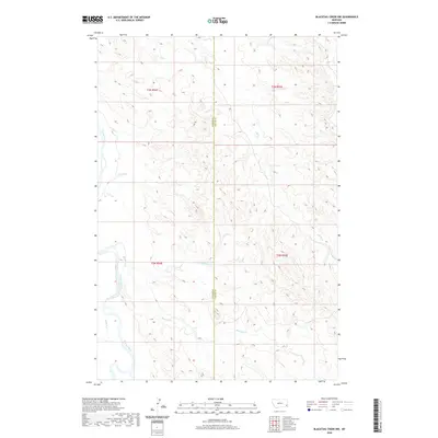 2020 Blacktail Creek NW2020 Print · USGSThe high plains of Carter and Custer counties are shown here as they appeared in 2020. Local researchers can trace the winding course of the Powder River and the convergence of several major drainages, including Blacktail Cr and Alkali Cr.
 - 2020 Map of Blacktail Creek SW, 2020 Print
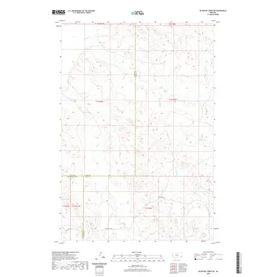 2020 Blacktail Creek SW2020 Print · USGSSoutheast Montana ranch country is mapped here at the meeting of Powder River, Custer, and Carter Counties. You can trace the path of Powderville Rd as it winds through the drainage basins of Whitetail Creek and Spring Creek.
 - 2020 Map of Government Hill, 2020 Print
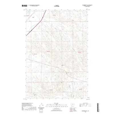 2020 Government Hill2020 Print · USGSCuster County highlands meet the river valley in this 2020 map of the eastern Montana plains. Genealogists and historians can trace the irrigation networks near Tusler or locate family landmarks like Angelwing Butte, Government Hill, and Dean S Reservoir.
 - 2020 Map of Zero, 2020 Print
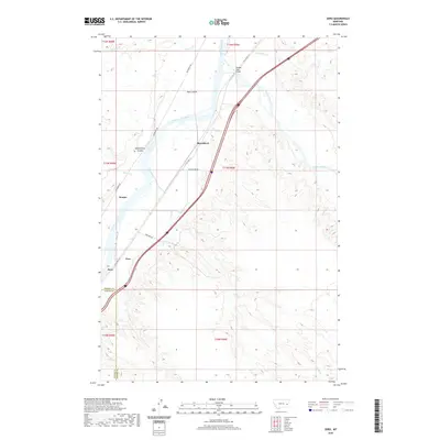 2020 Zero2020 Print · USGSEastern Montana at the turn of the 21st century remains defined by its rail history and river junctions. Trace the routes of the Milwaukee Rd and W Old Hwy 10 through rural stops like Zero, Saugus, and Blatchford.
 - 2020 Map of Pennock Creek, 2020 Print
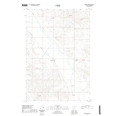 2020 Pennock Creek2020 Print · USGSCuster County land is defined by the winding course of the Powder River in this recent survey. Local historians and land researchers can trace high-country landmarks like Baldy Butte and identify specific crossings at Mason Creek Bridge.
 - 2020 Map of The Knob, 2020 Print
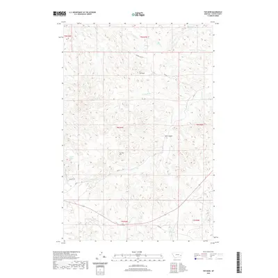 2020 The Knob2020 Print · USGSCuster County's high plains and drainage breaks are captured here in the early twenty-first century. Researchers can trace land-use patterns through local landmarks like The Knob, Black Canyon, and the vital water source at McFarland Reservoir.
 - 2020 Map of Loaf of Bread Butte, 2020 Print
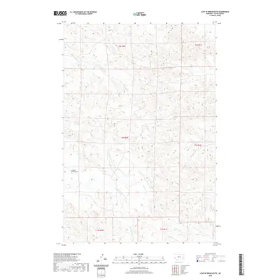 2020 Loaf of Bread Butte2020 Print · USGSCuster County's high plains are documented in this 2020 survey, showing the intricate drainage systems that define the region's ranching landscape. Researchers can trace the paths of Johnson Cr, Fivemile Cr, and the distinctive Loaf of Bread Butte.
 - 2020 Map of Noble Reservoir, 2020 Print
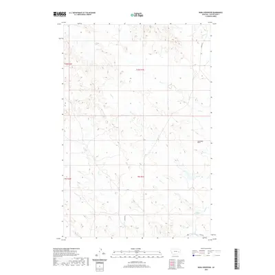 2020 Noble Reservoir2020 Print · USGSCuster County's rugged drainage basins are captured here in the early twenty-first century. Researchers can trace rural routes like Caprock Rd and locate local water landmarks including Hall Reservoir and Steamboat Butte.
 - 2020 Map of Flat Top Butte SW, 2020 Print
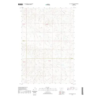 2020 Flat Top Butte SW2020 Print · USGSEastern Montana cattle country comes into focus in this recent survey of the Prairie and Custer County line. Genealogists and historians can trace local land divisions and the drainage of Tenmile Creek, Coal Creek, and Deep Creek.
 - 2020 Map of Forty Creek, 2020 Print
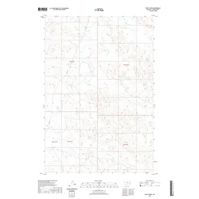 2020 Forty Creek2020 Print · USGSCuster County ranching country is detailed here in the early twenty-first century, showing the intricate drainage of the high plains. Researchers can trace the winding paths of Mizpah Cr and Forty Cr, or locate local landmarks like Dawson Coulee.
 - 2020 Map of Morehouse Creek, 2020 Print
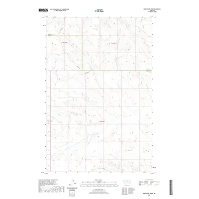 2020 Morehouse Creek2020 Print · USGSPrairie and Custer counties meet in this eastern Montana landscape during the early twenty-first century. Researchers can trace the winding paths of Custer Creek and Morehouse Creek alongside rural routes like Caprock Road.
 - 2020 Map of Montague Butte, 2020 Print
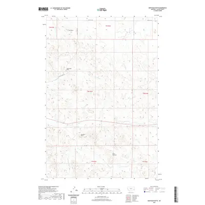 2020 Montague Butte2020 Print · USGSCuster County's high-plains geography is captured here in the modern era, revealing a landscape of remote buttes and winding creek beds. Researchers can locate family-named landmarks like Henry Woods Mtn or trace the paths of Archdale Cr and Locate Cr.
 - 2020 Map of Buck Mountain, 2020 Print
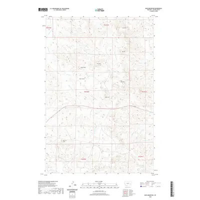 2020 Buck Mountain2020 Print · USGSCuster County ranching country is shown here in the 2020s, a landscape defined by the high summits of the Blue Mountains and The Pine Hills. Researchers can trace remote water sources and landmarks like Log Spring, Buck Mtn, and the winding Cedar Canyon Cr.
 - 2020 Map of Miles City, 2020 Print
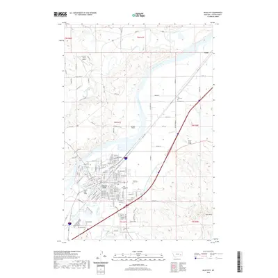 2020 Miles City2020 Print · USGSMiles City and the surrounding Custer County landscape are shown here as they appeared in 2020, centered on the historic river confluence. Genealogists and local historians can trace the town's development through landmarks like the Custer County Courthouse, several local cemeteries including Pine Crest Cem, and the path of the Tongue and Yellowstone River Irrigation District Canal.
 - 2020 Map of Kinsey NW, 2020 Print
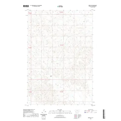 2020 Kinsey NW2020 Print · USGSCuster County ranching country is shown here in the early twenty-first century, documenting a landscape of remote drainages and high plains. Researchers can trace the winding paths of Caprock Coulee, Harris Cr, and Custer Cr across the township grid.
 - 2020 Map of Locate, 2020 Print
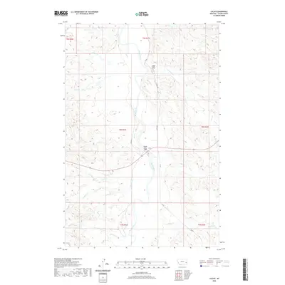 2020 Locate2020 Print · USGSCuster County’s rugged river breaks and isolated ranching country are documented here in the early twenty-first century. Researchers can trace the drainage patterns of the Powder River and find landmarks like Locate Creek Bridge, Locate, and Meyers Cr.
 - 2020 Map of Miles City Creek, 2020 Print
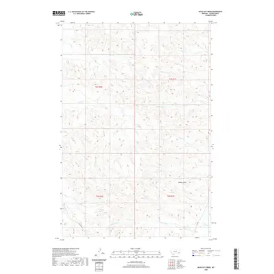 2020 Miles City Creek2020 Print · USGSCuster County ranching country is shown in detail during the early twenty-first century, centered on the drainage systems of eastern Montana. Trace the historic paths of Powderville Road and Mizpah Road as they cross Miles City Creek and Dawson Coulee.
 - 2020 Map of Jack Creek NW, 2020 Print
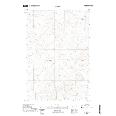 2020 Jack Creek NW2020 Print · USGSCuster County rangeland is captured here in the contemporary era, showing a landscape defined by its complex drainage networks. Researchers can trace the winding paths of Moon Cr, the route of Moon Creek Divide Rd, and the headwaters of Kennedy Cr.
 - 2020 Map of Red Knob, 2020 Print
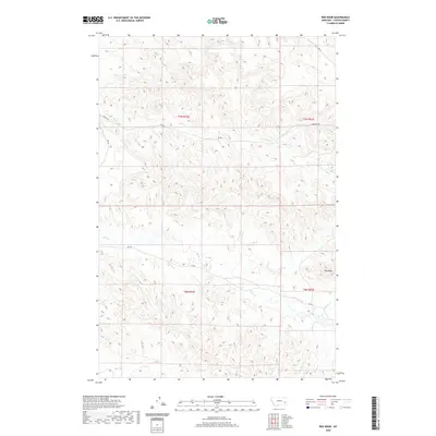 2020 Red Knob2020 Print · USGSCuster County ranching country is shown here in the early twenty-first century, revealing the intricate network of watercourses and section roads. Trace the drainages of Horse Cr and Sheep Cr or follow the route of Mizpah Rd past the landmark Red Knob.
 - 2020 Map of Corral Butte, 2020 Print
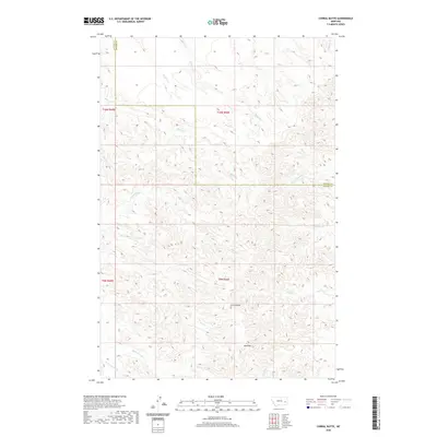 2020 Corral Butte2020 Print · USGSThe high plains of the Prairie and Custer county line come into focus in this recent survey of the Montana interior. Researchers can trace the drainage systems of Corral Butte and Big Peak, following named watercourses like Cottonwood Cr and Miles Cr.
 - 2020 Map of Lignite Creek, 2020 Print
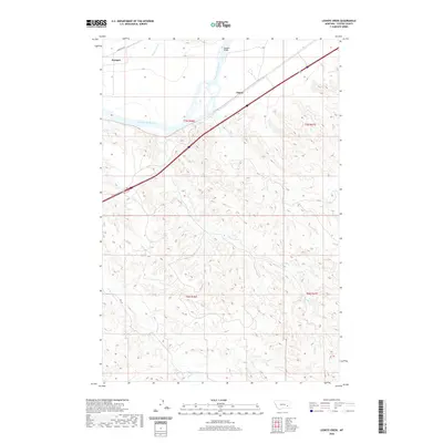 2020 Lignite Creek2020 Print · USGSCuster County's river valley and high plains are documented here during the early twenty-first century. Researchers can trace the transportation corridor through Ulmer and locate landmarks like the Paragon Bridge along the Yellowstone River.
 - 2020 Map of Twin Buttes School, 2020 Print
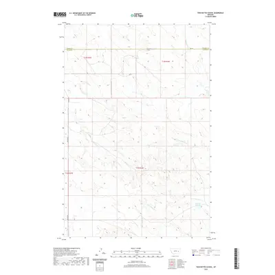 2020 Twin Buttes School2020 Print · USGSPrairie County ranching country is documented here in the early twenty-first century as the landscape transitions into Custer County. Researchers can locate remote landmarks like Twin Buttes School and trace the headwaters of Crow Rock Cr and Hamlick Reservoir.
 - 2020 Map of Locate SE, 2020 Print
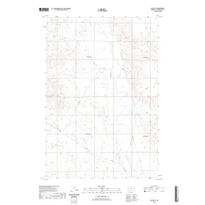 2020 Locate SE2020 Print · USGSCuster County ranching country and river bottomlands are captured here in the early twenty-first century. Researchers can trace the winding Powder River and the rural road networks like Mizpah Rd and Trail Creek Rd that connect isolated homesteads.
 - 2020 Map of Little Whitney Creek, 2020 Print
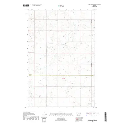 2020 Little Whitney Creek2020 Print · USGSThe Prairie and Custer County line was a landscape of remote transit and high-plains drainages in the early twenty-first century. Genealogists and historians can trace the paths of the Stage Line Rd and Terry Cut-Off Rd near Little Whitney Creek.
Showing maps 1-25 of 182
Top cities of Custer County
Frequently asked questions
- What are the different types of historical maps available for Custer County?
- What is the oldest map of Custer County?
- Where can I purchase historical maps of Custer County for my home or office?
- Where can I download high-res historical maps of Custer County?
- Are there historical topographic maps available for Custer County?
- Is there historical aerial imagery available for Custer County?
- Where are historical maps of Custer County sourced from?