2010s Maps of Custer County, Montana
Explore 273 historic maps of Custer County from the 2010s. These maps offer a rare glimpse into what life looked like during the 2010s — showing old roads, neighborhoods, homes, and landmarks that have changed or disappeared over time.
Whether you're researching your family's past, planning a metal detecting trip, or studying how Custer County's landscape evolved across the 2010s, these high-resolution maps are a powerful tool for exploring the history of this region.
- Focus on a specific era: All maps on this page are from the 2010s, giving you a focused view of this time period.
- See what’s changed: Compare century-old streets, trails, and buildings to today's modern landscape using overlays and satellite layers.
- Research with precision: Use these maps for genealogy, historical research, land use analysis, or educational projects.
- View, download, or print: Maps are fully viewable online in high resolution, and can be downloaded or printed for your own records.
Start exploring Custer County's history through authentic maps from the 2010s. This is your window into the past.
Custer County, MT maps
(273)- 2011 Map of Divide School, 2011 Print
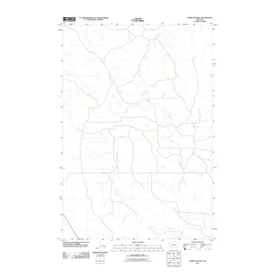 2011 Divide School2011 Print · USGSPowder River County at the start of the twenty-first century reveals a remote landscape defined by its vital watercourses and solitary ranch roads. Researchers can trace the winding paths of Sand Creek and Big Bobcat Creek or follow the length of Divide Rd.
 - 2011 Map of Kirkpatrick Hill, 2011 Print
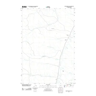 2011 Kirkpatrick Hill2011 Print · USGSCuster County ranching country is captured here during the early twenty-first century, showing the intersection of high plains hydrology and livestock management. Researchers can locate family landmarks like Allen Ranch and trace the paths of Pumpkin Creek or Criswell Coulee.
 - 2011 Map of Snake Butte, 2011 Print
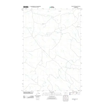 2011 Snake Butte2011 Print · USGSSoutheastern Montana's high plains are documented in this recent survey, showcasing the remote butte-and-creek landscape of Powder River County. Researchers can trace the path of Powderville Rd as it passes prominent landmarks like Snake Butte and Twin Buttes.
 - 2011 Map of Maxwell Butte, 2011 Print
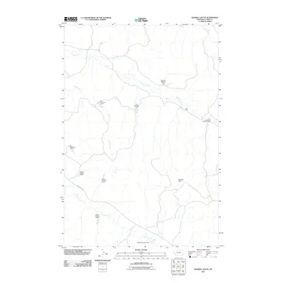 2011 Maxwell Butte2011 Print · USGSCuster County ranchlands are documented here in the early twenty-first century, showing a landscape defined by vital water management. Researchers can trace land use through numerous family-named sites like Rafferty Number 1 Dam and L Krutzfeldt Number 1 Dam along Powderville Rd.
 - 2011 Map of Mills Creek West, 2011 Print
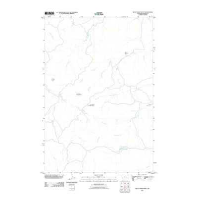 2011 Mills Creek West2011 Print · USGSCuster County ranch lands appear here in the early 2000s, defined by an intricate network of seasonal creeks and family-run reservoirs. Researchers can trace land use and water rights through features like L Krutzfeldt Number 6 Dam, Jones Reservoir, and Ash Creek.
 - 2011 Map of Volborg, 2011 Print
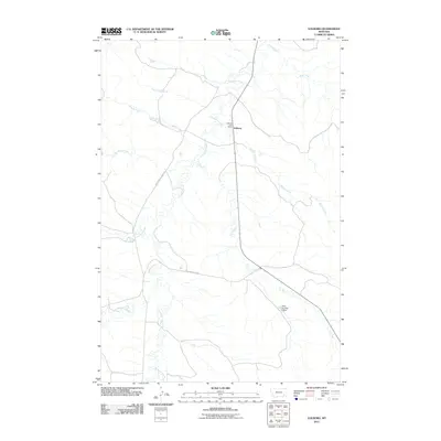 2011 Volborg2011 Print · USGSVolborg and the surrounding Custer County ranchlands are documented here in the early twenty-first century. Researchers can trace the essential water and road networks of this rural community, from the Volborg Post Office to landmarks like the Allen Number 6 Dam.
 - 2011 Map of Powderville, 2011 Print
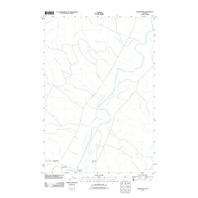 2011 Powderville2011 Print · USGSPowderville and the winding Powder River corridor are captured here in the early twenty-first century. Researchers can locate the historic Boothill Cemetery, the Powderville Community Hall, and family-named landmarks like Flintheart Draw and Soldiers Mount.
 - 2011 Map of Fourmile Creek, 2011 Print
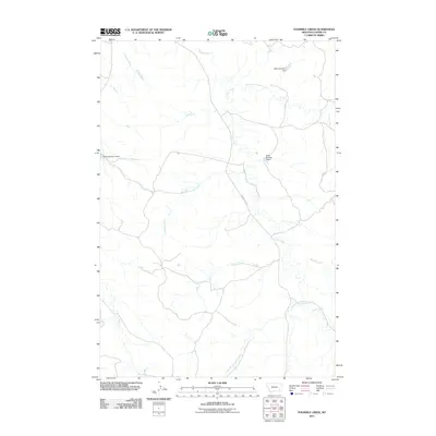 2011 Fourmile Creek2011 Print · USGSCuster County in the early 21st century is defined by its network of high-plains drainages and water management. Local historians can trace the reach of Foster Creek Rd and identify specific ranching landmarks like Nefsy Number 1 Dam and Fourmile Creek.
 - 2011 Map of Brandenberg, 2011 Print
 2011 Brandenberg2011 Print · USGSThe ranching country of Rosebud County is documented here at the start of the 2010s. Researchers can trace the winding Tongue River valley and its relationship to landmarks like Red Butte and the small settlement of Brandenberg.
 - 2011 Map of Hayes Point, 2011 Print
 2011 Hayes Point2011 Print · USGSPowder River County is shown in the early twenty-first century as a land of deep coulees and winding creek beds. Researchers can trace the path of Liscom Rd through the breaks, following drainages like Swain Coulee and The Breaks Coulee toward Hayes Point.
 - 2011 Map of Harris Buttes, 2011 Print
 2011 Harris Buttes2011 Print · USGSCuster County rangeland and drainage networks are preserved here as they appeared in the early twenty-first century. Researchers can trace the rugged geographic features of Harris Buttes and Wild Horse Mountain alongside seasonal watercourses like Pumpkin Creek.
 - 2011 Map of Witcher Reservoir, 2011 Print
 2011 Witcher Reservoir2011 Print · USGSPowder River County ranchlands are documented here at the start of the 2010s, showing a landscape defined by water management. You can trace early 21st-century infrastructure through dozens of named ranch dams like Russiff Number 2 Dam and Witcher Reservoir.
 - 2011 Map of North Stacey School, 2011 Print
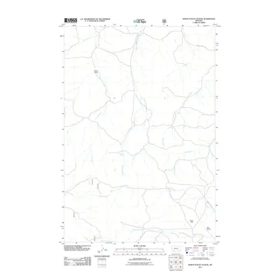 2011 North Stacey School2011 Print · USGSPowder River County ranching country is documented here in the early 2000s, showing the vital water sources and landmarks of this high plains landscape. Genealogists and researchers can locate the North Stacey Cemetery and trace named features like Castle Rock or Starvation Creek.
 - 2011 Map of S H School, 2011 Print
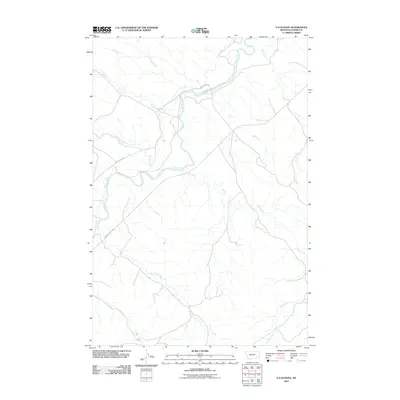 2011 S H School2011 Print · USGSCuster County ranchlands are documented here in the early 2000s, centered on the Tongue River valley and its surrounding drainage systems. Genealogists and historians can trace old property access and water rights along Moon Creek Rd, Elk Creek, and Ranch Creek.
 - 2011 Map of Rattlesnake Hill, 2011 Print
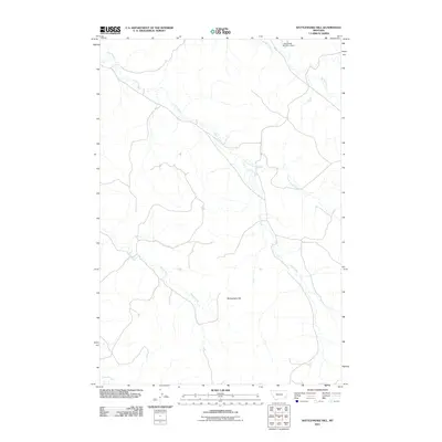 2011 Rattlesnake Hill2011 Print · USGSPowder River County land and water are meticulously detailed in this Montana survey from the early 2000s. Researchers can trace the network of ranching waterways, from the L Krutzfeldt Number 2 Dam to the namesake Rattlesnake Hill.
 - 2011 Map of Mills Creek East, 2011 Print
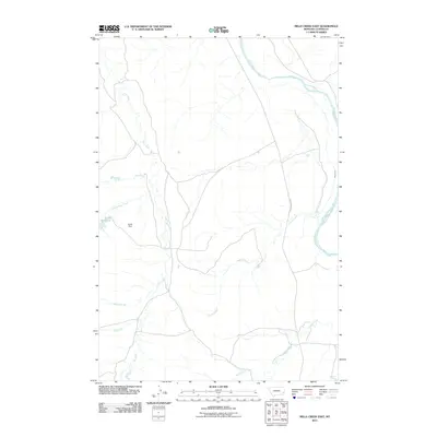 2011 Mills Creek East2011 Print · USGSCuster County, Montana, is documented in the early 21st century as a landscape defined by its vital water sources and river valleys. Researchers can locate family landmarks like Jones Reservoir and Jones Dam or trace the course of the Powder River and its many tributaries.
 - 2011 Map of Foster Creek School, 2011 Print
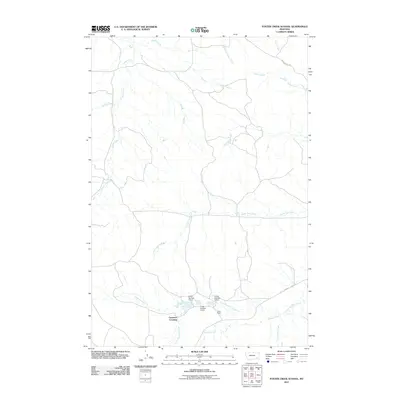 2011 Foster Creek School2011 Print · USGSPowder River County ranchlands are documented here in the early twenty-first century, showing the remote settlement patterns of the Montana plains. Researchers can locate Cameron Crossing and trace water management at Green Ranch via Green Number 4 Dam.
 - 2011 Map of Carey-Malone School, 2011 Print
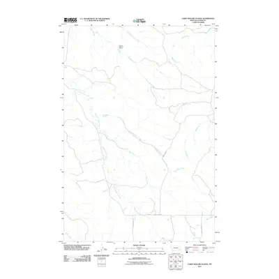 2011 Carey-Malone School2011 Print · USGSCuster County ranching country is documented here in the early twenty-first century, showing the essential water and road networks of the high plains. Trace the path of Coalbank Creek or locate landmarks like Fortune Number 2 Dam and Ash Creek Rd.
 - 2011 Map of Brandenberg NW, 2011 Print
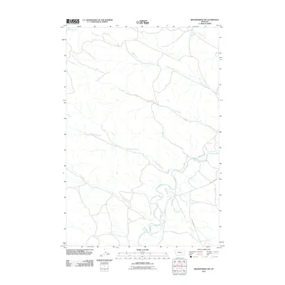 2011 Brandenberg NW2011 Print · USGSRosebud County, Montana, remains a landscape defined by its waterways and winding ranch roads in the early twenty-first century. Researchers can trace the path of the Tongue River or locate intersections along Moon Creek Rd and Liscom Creek Rd.
 - 2011 Map of Saddle Horse Butte, 2011 Print
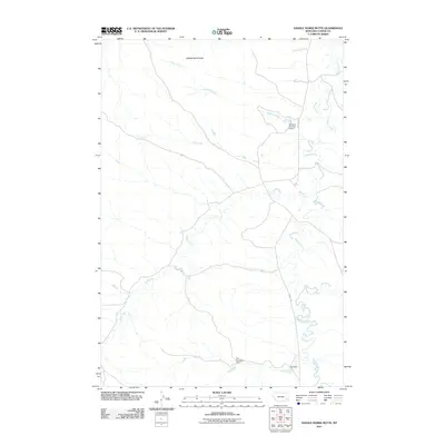 2011 Saddle Horse Butte2011 Print · USGSCuster County ranch lands in the early 21st century are defined by wide-open drainages and essential water improvements. Trace local land use through features like Saddle Horse Butte, Mizpah Creek, and the strategically placed M Hardy Number 3 Dam.
 - 2011 Map of Blacktail Creek SW, 2011 Print
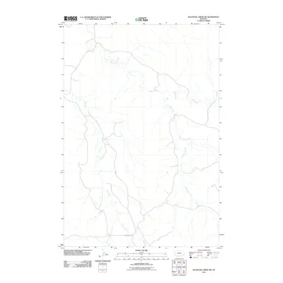 2011 Blacktail Creek SW2011 Print · USGSPowder River County is shown here in the early twenty-first century, dominated by the intricate seasonal drainages of the Montana plains. Researchers can trace the path of Powderville Rd as it crosses the watersheds of Whitetail Creek and South Spring Creek.
 - 2011 Map of Blacktail Creek NW, 2011 Print
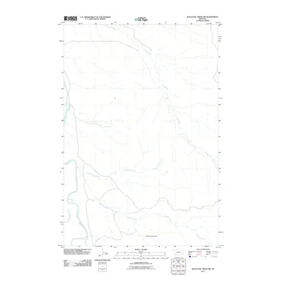 2011 Blacktail Creek NW2011 Print · USGSThe Montana rangeland south of the Powder River comes into focus in this early twenty-first-century survey. Trace the seasonal waterways of Alkali Creek and Blacktail Creek or locate the site of the Mallett Number 2 Dam.
 - 2011 Map of Bear Jaw Creek, 2011 Print
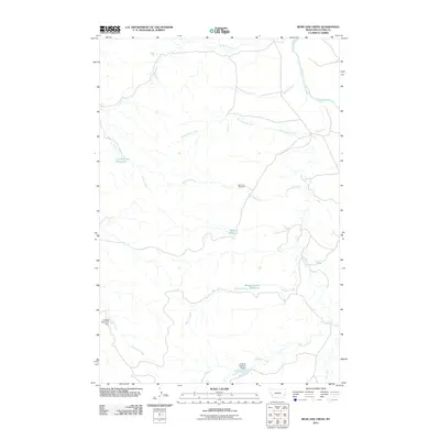 2011 Bear Jaw Creek2011 Print · USGSCuster County ranching country is documented here in the early twenty-first century, showing a landscape defined by the Powder River and its tributaries. Genealogists and researchers can locate family-named landmarks like Willie Reservoir and the Bear Jaw Windmill.
 - 2011 Map of Hogan Creek, 2011 Print
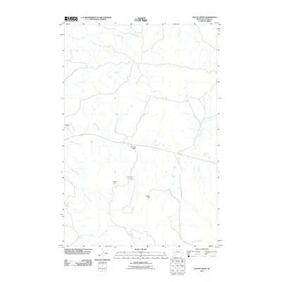 2011 Hogan Creek2011 Print · USGSCuster County ranching country is captured here in the early twenty-first century as a network of vital water sources and remote outposts. Genealogists and historians can trace the landscape around Bradshaw Ranch or locate landmarks like Johnnies Gulch and Dead Cow Reservoir.
 - 2011 Map of Government Hill SE, 2011 Print
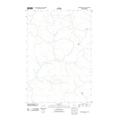 2011 Government Hill SE2011 Print · USGSCuster County rangeland comes into focus in this early twenty-first-century survey of Montana's high plains. Researchers can trace the vital water sources of the region through landmarks like Sunshine Camp, Chimney Springs, and the Severson Number 3 Dam.
Showing maps 1-25 of 273
Top cities of Custer County
Frequently asked questions
- What are the different types of historical maps available for Custer County?
- What is the oldest map of Custer County?
- Where can I purchase historical maps of Custer County for my home or office?
- Where can I download high-res historical maps of Custer County?
- Are there historical topographic maps available for Custer County?
- Is there historical aerial imagery available for Custer County?
- Where are historical maps of Custer County sourced from?