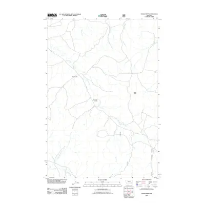
2011 Map of Hayes Point
USGS Topo · Published 2011About this map
Hayes Point stands as a prominent topographical landmark in this section of Powder River County, overseeing a landscape defined by an intricate network of seasonal drainages. The area is characterized by deep erosion patterns, most notably The Breaks Coulee and Swain Coulee, which channel runoff toward Liscom Creek. This waterway serves as a primary geographic spine for the region, paralleled in part by the gravel track of Liscom Rd.
Find a feature on this map
13 named features on this map. Tap any name to fly to it.
Don’t see what you’re looking for? This feature index may not catch every label — zoom into the map to look around manually.
Map Details
Editions of this 2011 Hayes Point Map
This is the sole edition of this map. No revisions or reprints were ever made.
Other maps of this area

1954 · Hardin
USGS Topo · 1:250,000

1954 · Ekalaka
USGS Topo · 1:250,000

1956 · Ekalaka
USGS Topo · 1:250,000

1957 · Hardin
USGS Topo · 1:250,000

1958 · Ekalaka
USGS Topo · 1:250,000

1958 · Hardin
USGS Topo · 1:250,000

1965 · Ekalaka
USGS Topo · 1:250,000

1966 · Stacey
USGS Topo · 1:24,000

1966 · Beaver Creek School
USGS Topo · 1:24,000

1966 · Cook Creek Reservoir
USGS Topo · 1:24,000