2000s (21st Century) Maps of Custer County, Montana
Explore 455 historic maps of Custer County from the 2000s (21st Century). These maps offer a rare glimpse into what life looked like during the 2000s — showing old roads, neighborhoods, homes, and landmarks that have changed or disappeared over time.
Whether you're researching your family's past, planning a metal detecting trip, or studying how Custer County's landscape evolved across the 2000s, these high-resolution maps are a powerful tool for exploring the history of this region.
- Focus on a specific era: All maps on this page are from the 2000s, giving you a focused view of this time period.
- See what’s changed: Compare century-old streets, trails, and buildings to today's modern landscape using overlays and satellite layers.
- Research with precision: Use these maps for genealogy, historical research, land use analysis, or educational projects.
- View, download, or print: Maps are fully viewable online in high resolution, and can be downloaded or printed for your own records.
Start exploring Custer County's history through authentic maps from the 2000s. This is your window into the past.
Custer County, MT maps
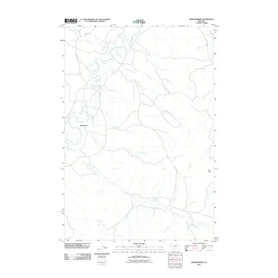
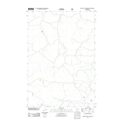
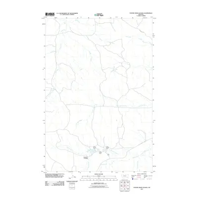
(455)- 2011 Map of Divide School, 2011 Print
 2011 Divide School2011 Print · USGSCovers Custer County, including Powder River County, United States, and other nearby areas
 - 2011 Map of Kirkpatrick Hill, 2011 Print
 2011 Kirkpatrick Hill2011 Print · USGSCovers Custer County, including United States, Montana, and other nearby areas
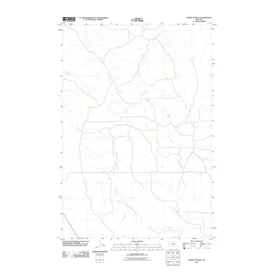
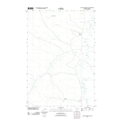
 - 2011 Map of Snake Butte, 2011 Print
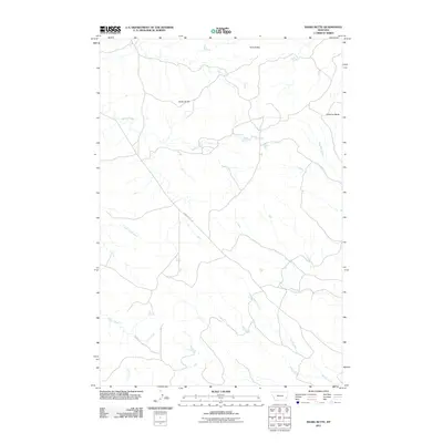 2011 Snake Butte2011 Print · USGSCovers Custer County, including Powder River County, United States, and other nearby areas
 - 2011 Map of Maxwell Butte, 2011 Print
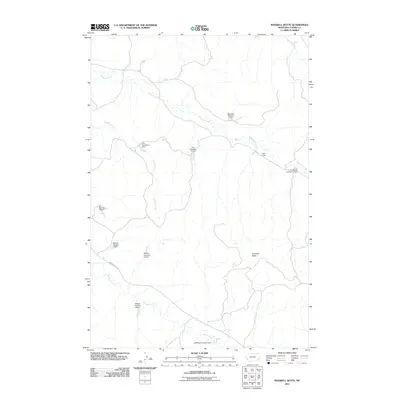 2011 Maxwell Butte2011 Print · USGSCovers Custer County, including United States, Montana, and other nearby areas
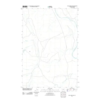
 - 2011 Map of Mills Creek West, 2011 Print
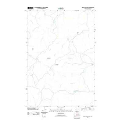 2011 Mills Creek West2011 Print · USGSCovers Custer County, including United States, Montana, and other nearby areas
 - 2011 Map of Volborg, 2011 Print
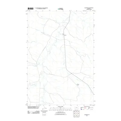 2011 Volborg2011 Print · USGSCovers Custer County, including Volborg, Powder River County, and other nearby areas
 - 2011 Map of Powderville, 2011 Print
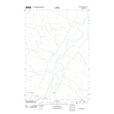 2011 Powderville2011 Print · USGSCovers Custer County, including Powderville, Powder River County, and other nearby areas
 - 2011 Map of Fourmile Creek, 2011 Print
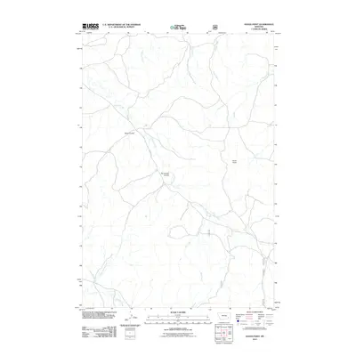
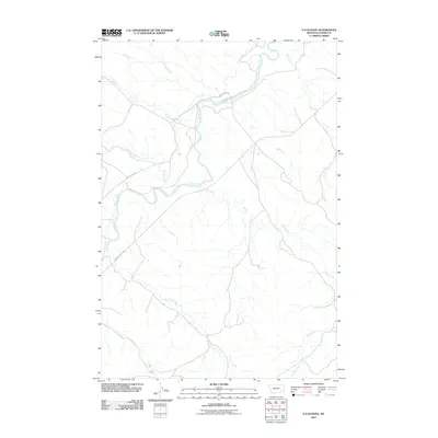
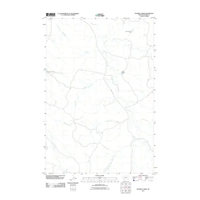 2011 Fourmile Creek2011 Print · USGSCovers Custer County, including United States, Montana, and other nearby areas
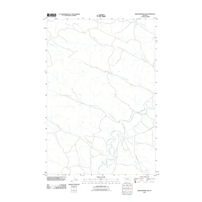
 - 2011 Map of Brandenberg, 2011 Print
 2011 Brandenberg2011 Print · USGSCovers Custer County, including Brandenberg, Rosebud County, and other nearby areas
 - 2011 Map of Hayes Point, 2011 Print
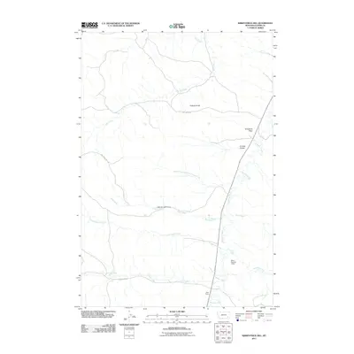
 2011 Hayes Point2011 Print · USGSCovers Custer County, including Powder River County, United States, and other nearby areas
 - 2011 Map of Harris Buttes, 2011 Print
 2011 Harris Buttes2011 Print · USGSCovers Custer County, including United States, Montana, and other nearby areas
 - 2011 Map of Witcher Reservoir, 2011 Print
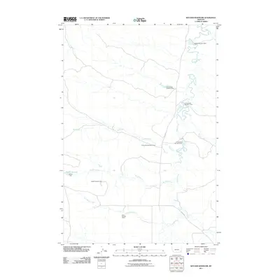 2011 Witcher Reservoir2011 Print · USGSCovers Custer County, including Powder River County, United States, and other nearby areas
 - 2011 Map of North Stacey School, 2011 Print
 2011 North Stacey School2011 Print · USGSCovers Custer County, including Powder River County, United States, and other nearby areas
 - 2011 Map of S H School, 2011 Print
 2011 S H School2011 Print · USGSCovers Custer County, including United States, Montana, and other nearby areas
 - 2011 Map of Rattlesnake Hill, 2011 Print
 2011 Rattlesnake Hill2011 Print · USGSCovers Custer County, including Powder River County, United States, and other nearby areas
 - 2011 Map of Mills Creek East, 2011 Print
 2011 Mills Creek East2011 Print · USGSCovers Custer County, including United States, Montana, and other nearby areas
 - 2011 Map of Foster Creek School, 2011 Print
 2011 Foster Creek School2011 Print · USGSCovers Custer County, including Cameron Crossing, Powder River County, and other nearby areas
 - 2011 Map of Carey-Malone School, 2011 Print
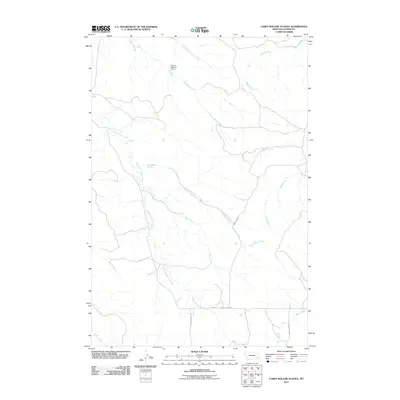 2011 Carey-Malone School2011 Print · USGSCovers Custer County, including United States, Montana, and other nearby areas
 - 2011 Map of Brandenberg NW, 2011 Print
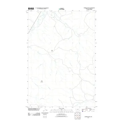
 2011 Brandenberg NW2011 Print · USGSCovers Custer County, including Rosebud County, United States, and other nearby areas
 - 2011 Map of Saddle Horse Butte, 2011 Print
 2011 Saddle Horse Butte2011 Print · USGSCovers Custer County, including United States, Montana, and other nearby areas
 - 2011 Map of Blacktail Creek SW, 2011 Print
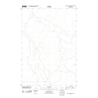 2011 Blacktail Creek SW2011 Print · USGSCovers Custer County, including Powder River County, Carter County, and other nearby areas
 - 2011 Map of Blacktail Creek NW, 2011 Print
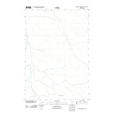 2011 Blacktail Creek NW2011 Print · USGSCovers Custer County, including Carter County, United States, and other nearby areas
 - 2011 Map of Bear Jaw Creek, 2011 Print
 2011 Bear Jaw Creek2011 Print · USGSCovers Custer County, including United States, Montana, and other nearby areas
 - 2011 Map of Hogan Creek, 2011 Print
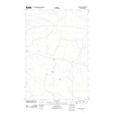 2011 Hogan Creek2011 Print · USGSCovers Custer County, including United States, Montana, and other nearby areas
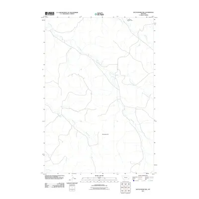
 - 2011 Map of Government Hill SE, 2011 Print
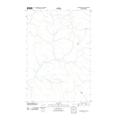 2011 Government Hill SE2011 Print · USGSCovers Custer County, including United States, Montana, and other nearby areas
Showing maps 1-25 of 455
Top cities of Custer County
Frequently asked questions
- What are the different types of historical maps available for Custer County?
- What is the oldest map of Custer County?
- Where can I purchase historical maps of Custer County for my home or office?
- Where can I download high-res historical maps of Custer County?
- Are there historical topographic maps available for Custer County?
- Is there historical aerial imagery available for Custer County?
- Where are historical maps of Custer County sourced from?