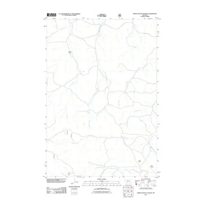
2011 Map of North Stacey School
USGS Topo · Published 2011About this map
Starvation Creek and Cameron Creek wind through this corner of Powder River County, Montana, defining a landscape of intermittent drainages and critical water sources. The map highlights the essential nature of water in this arid region, marking several named springs including Bathtub Spring, Red Shale Spring, and Liscom Mountain Spring. These features, along with names like Mullins Coulee, suggest a history of ranching and livestock movement through the rugged breaks. Local landmarks such as Castle Rock provide navigational anchors for the area, while the North Stacey Cemetery serves as a primary genealogical touchstone for families connected to this rural Montana community. The road network is sparse, centered around Foster Creek Rd and Horkan Creek Rd, reflecting the low-density settlement pattern of the early 21st century.
Find a feature on this map
16 named features on this map. Tap any name to fly to it.
Don’t see what you’re looking for? This feature index may not catch every label — zoom into the map to look around manually.
Map Details
Editions of this 2011 North Stacey School Map
This is the sole edition of this map. No revisions or reprints were ever made.
Other maps of this area

1954 · Hardin
USGS Topo · 1:250,000

1954 · Ekalaka
USGS Topo · 1:250,000

1956 · Ekalaka
USGS Topo · 1:250,000

1957 · Hardin
USGS Topo · 1:250,000

1958 · Ekalaka
USGS Topo · 1:250,000

1958 · Hardin
USGS Topo · 1:250,000

1965 · Ekalaka
USGS Topo · 1:250,000

1966 · Stacey
USGS Topo · 1:24,000

1966 · Beaver Creek School
USGS Topo · 1:24,000

1966 · Elk Ridge
USGS Topo · 1:24,000