1990s Maps of Lincoln County, Montana
Explore 93 historic maps of Lincoln County from the 1990s. These maps offer a rare glimpse into what life looked like during the 1990s — showing old roads, neighborhoods, homes, and landmarks that have changed or disappeared over time.
Whether you're researching your family's past, planning a metal detecting trip, or studying how Lincoln County's landscape evolved across the 1990s, these high-resolution maps are a powerful tool for exploring the history of this region.
- Focus on a specific era: All maps on this page are from the 1990s, giving you a focused view of this time period.
- See what’s changed: Compare century-old streets, trails, and buildings to today's modern landscape using overlays and satellite layers.
- Research with precision: Use these maps for genealogy, historical research, land use analysis, or educational projects.
- View, download, or print: Maps are fully viewable online in high resolution, and can be downloaded or printed for your own records.
Start exploring Lincoln County's history through authentic maps from the 1990s. This is your window into the past.
Lincoln County, MT maps
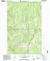
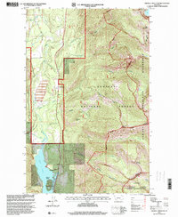
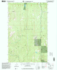
(93)- 1991 Map of Lynch Lake, 1995 Print
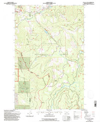
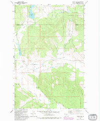 1991 Lynch Lake1995 Print · USGSThe borderlands of Lincoln and Flathead Counties are shown in the early 1990s as a landscape of timber and trout streams. Genealogists and historians can trace local landmarks like the Pleasant Valley Sch and water features like Island Lake or the Fisher River.
 - 1992 Map of Thompson Falls, 1993 Print
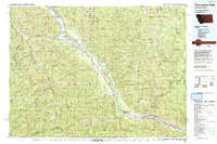 1992 Thompson Falls1993 Print · USGSNorthwest Montana in the early nineties is defined here by the winding Clark Fork and its major impoundments. Researchers can trace the river-valley settlements of Noxon, Trout Creek, and Thompson Falls or locate mining sites like the Copper King Mine.
 - 1994 Map of Red Meadow Lake, 1997 Print
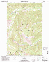 1994 Red Meadow Lake1997 Print · USGSThe high Whitefish Range comes into focus in the mid-1990s, revealing a remote landscape of alpine basins and dramatic peaks. Researchers can locate high-country landmarks like Akinkoka Peak, the Whale Creek Falls, and the isolated Chain Lakes area.
 - 1994 Map of Tuchuck Mountain, 1997 Print
 1994 Tuchuck Mountain1997 Print · USGSThe northern Rockies meet the Canadian border in the mid-1990s, showcasing a landscape of high alpine passes and remote forest outposts. Researchers can trace historic backcountry landmarks like Weasel Cabin, Timothy Meadow, and the high crossing at Seemo Pass.
 - 1994 Map of Mount Thompson-Seton, 1997 Print
 1994 Mount Thompson-Seton1997 Print · USGSThe high peaks of the Whitefish Range are captured here during the mid-nineties, showing the intersection of several national forests. Researchers can trace high-country paths like the Chepat Trail and locate remote landmarks including Huntsberger Lake and Inuya Pass.
 - 1994 Map of Sylvia Lake, 1997 Print
 1994 Sylvia Lake1997 Print · USGSThe Salish Mountains in the mid-1990s are shown here at the boundary of Lincoln and Flathead Counties. Researchers can trace forest management and mountain terrain through landmarks like Sylvia Lake, Ingalls Mountain, and the Tally Lake Fisher River Road.
 - 1994 Map of Upper Whitefish Lake, 1997 Print
 1994 Upper Whitefish Lake1997 Print · USGSThe high peaks of the Whitefish Range and the protected basins of the Flathead National Forest are captured here in the mid-1990s. Trace the remote mountain routes of Haines Pass and Thayer Memorial Trail as they navigate around Upper Whitefish Lake.
 - 1994 Map of Dunsire Point, 1997 Print
 1994 Dunsire Point1997 Print · USGSHigh in the Salish Mountains during the 1990s, this area shows the intersection of the Flathead and Kootenai National Forests. Researchers can trace forest management history and natural terrain features like Dunsire Point, Mount Swaney, and the Elk Divide.
 - 1996 Map of Benning Mountain, 1999 Print
 1996 Benning Mountain1999 Print · USGSThe high Idaho-Montana borderlands are captured here in the mid-1990s, where the Kootenai meets the Kaniksu. Researchers can trace the rugged divide between Bonner and Lincoln counties through summits like Benning Mountain and Twin Peaks.
 - 1996 Map of Canuck Peak, 1999 Print
 1996 Canuck Peak1999 Print · USGSThe high mountain borderlands of Idaho, Montana, and British Columbia are charted here in the mid-1990s. Trace the remote trails and geography of the northern Rockies near Canuck Peak, identifying old mining Prospects and high-altitude crossings like Canuck Pass.
 - 1996 Map of Scotchman Peak, 1999 Print
 1996 Scotchman Peak1999 Print · USGSThe Cabinet Mountains wilderness comes alive in this late-1990s survey of the Idaho-Montana borderlands. Topographical researchers can trace the high ridges of Scotchman Peak and Goat Mountain or locate remote landmarks like the Open Pit Mine and Little Spar Lake.
 - 1996 Map of Line Point, 1999 Print
 1996 Line Point1999 Print · USGSThe high divide between Idaho and Montana is captured here in the mid-1990s, where the national forests of both states converge. Researchers can trace the remote Buckhorn Mine, follow the path of Old Highway 2, and locate the historic Deer Ridge Lookout overlooking Solomon Lake.
 - 1997 Map of Newton Mountain, 2000 Print
 1997 Newton Mountain2000 Print · USGSNorthwestern Montana’s high-country peaks and forest trails were meticulously documented in the late nineties within the Kootenai National Forest. You can trace old mining sites like the Black Diamond Mine and follow the paths of the Newton Trail toward Yaak Falls.
 - 1997 Map of Crowell Mountain, 2000 Print
 1997 Crowell Mountain2000 Print · USGSWestern Montana's rugged timberlands and glacial lakes are captured here in the late nineties, documenting the area around Bull Lake. Researchers can locate old forest settlements like Dorr Skeels and Little Joe alongside the wild peaks of Gordon Mountain.
 - 1997 Map of Robinson Mountain, 2000 Print
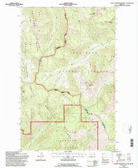
 1997 Robinson Mountain2000 Print · USGSThe Montana-Canada borderlands remained a rugged timber and fire-watch territory during the late twentieth century. Researchers can trace the high-country landscape surrounding Robinson Mountain, identifying landmarks like the Yaak Lookout and several remote alpine waters including Lake Geneva.
 - 1997 Map of Rexford, 2000 Print
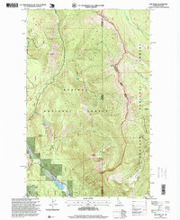
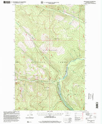
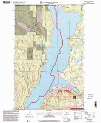 1997 Rexford2000 Print · USGSNear the Canadian border in the late nineties, this area showcases the shoreline of Lake Koocanusa and the community of Rexford. Trace local history through landmarks like the Tooley Lake School, Murray Springs State Fish Hatchery, and the Tobacco Plains.
 - 1997 Map of Cable Mountain, 2000 Print
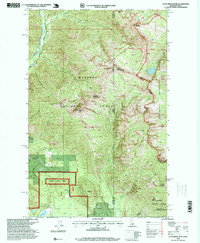
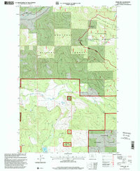
 1997 Cable Mountain2000 Print · USGSLincoln County in the late 1990s shows a landscape transitioning from resource extraction to wilderness preservation. Trace the location of Old Town (Site) along Libby Creek or find early mining activity near Leigh Creek at a Prospect.
 - 1997 Map of Flatiron Mountain, 2000 Print
 1997 Flatiron Mountain2000 Print · USGSThe Kootenai National Forest in the late 1990s reveals a landscape defined by high peaks and remote watersheds. Topographic details allow you to trace back-country routes past the Ranger Station toward Indian Peak and the shores of Lake Rene.
 - 1997 Map of Mount Baldy, 2000 Print
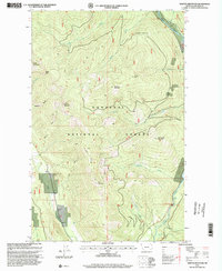
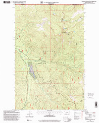
 1997 Mount Baldy2000 Print · USGSLincoln County’s high timber country is captured in the late nineties, centered on the Mount Baldy Lookout and the Yaak River valley. Researchers can trace the rugged drainage systems of Hellroaring Creek and Meadow Creek across the Kootenai National Forest.
 - 1997 Map of Curley Creek, 2000 Print
 1997 Curley Creek2000 Print · USGSThe Idaho-Montana borderlands at the end of the twentieth century reveal a landscape of managed forests and mountain peaks. Researchers can trace land use at the Homestake Mine, locate the Central Sch, and map the course of the Kootenai River.
 - 1997 Map of Kootenai Falls, 2000 Print
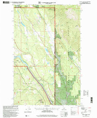
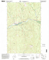
 1997 Kootenai Falls2000 Print · USGSThe Kootenai River valley in the late 1990s is a landscape of mountain peaks and hidden lakes where industrial infrastructure meets wilderness. Genealogists and local historians can locate Larchwood Cem, trace the area near Schoolhouse Lake, or examine the site of the Troy Dam.
 - 1997 Map of Horse Hill, 2000 Print
 1997 Horse Hill2000 Print · USGSLincoln County in the late nineties is presented here as a vast expanse of timberland and alpine ridges within the Kootenai National Forest. Researchers can trace the rugged drainages of Little Wolf Creek and Wolf Creek or locate high-country landmarks like Tepee Mountain.
 - 1997 Map of Clark Mountain, 2000 Print
 1997 Clark Mountain2000 Print · USGSThe Yaak River valley and the surrounding Kootenai National Forest appear in fine detail during the late 1990s. Trace the mountain terrain from Clark Mountain to Grizzly Point or locate industrial sites like the Gaging Station and Gravel Pit.
 - 1997 Map of Libby, 2000 Print
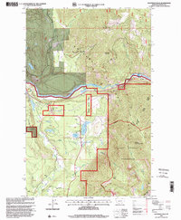
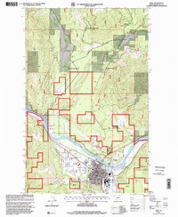 1997 Libby2000 Print · USGSThe mountain town of Libby is documented here in the late nineties, positioned at the junction of the Kootenai River and the national forest. Researchers can trace the local landscape from the Drive-in Theater and Plummer Sch to the high elevations of Sheldon Mountain.
 - 1997 Map of Richards Mountain, 2000 Print
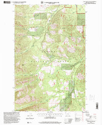
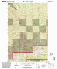 1997 Richards Mountain2000 Print · USGSKootenai National Forest is captured during the late nineties, documenting the remote mountain peaks and drainages of Lincoln County. Researchers can trace land use at Baenen Ranch or locate the summits of Richards Mountain and Dunn Peak.
Showing maps 1-25 of 93
Top cities of Lincoln County
- Libby historical maps
- Eureka historical maps
- Troy historical maps
- Trego historical maps
- Fortine historical maps
- Rexford historical maps
See more
Frequently asked questions
- What are the different types of historical maps available for Lincoln County?
- What is the oldest map of Lincoln County?
- Where can I purchase historical maps of Lincoln County for my home or office?
- Where can I download high-res historical maps of Lincoln County?
- Are there historical topographic maps available for Lincoln County?
- Is there historical aerial imagery available for Lincoln County?
- Where are historical maps of Lincoln County sourced from?