2020s Maps of Lincoln County, Montana
Explore 206 historic maps of Lincoln County from the 2020s. These maps offer a rare glimpse into what life looked like during the 2020s — showing old roads, neighborhoods, homes, and landmarks that have changed or disappeared over time.
Whether you're researching your family's past, planning a metal detecting trip, or studying how Lincoln County's landscape evolved across the 2020s, these high-resolution maps are a powerful tool for exploring the history of this region.
- Focus on a specific era: All maps on this page are from the 2020s, giving you a focused view of this time period.
- See what’s changed: Compare century-old streets, trails, and buildings to today's modern landscape using overlays and satellite layers.
- Research with precision: Use these maps for genealogy, historical research, land use analysis, or educational projects.
- View, download, or print: Maps are fully viewable online in high resolution, and can be downloaded or printed for your own records.
Start exploring Lincoln County's history through authentic maps from the 2020s. This is your window into the past.
Lincoln County, MT maps
(206)- 2020 Map of Curley Creek, 2020 Print
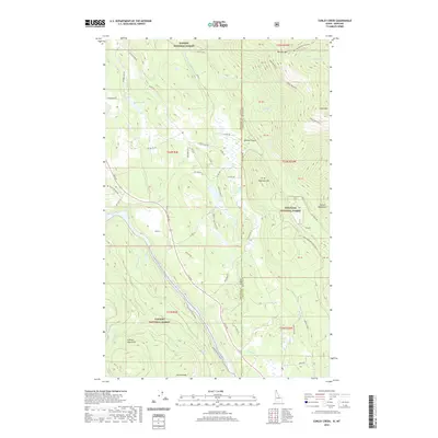 2020 Curley Creek2020 Print · USGSThe Idaho-Montana borderlands meet at the river in the late 2010s, showing a landscape of steep mountain ranges and protected forest. Researchers can trace the path of the Kootenai River Walk or locate remote high points like Leonia Knob and Haystack Mtn.
 - 2020 Map of Scotchman Peak, 2020 Print
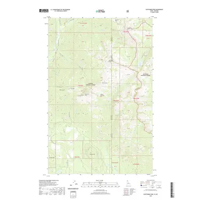 2020 Scotchman Peak2020 Print · USGSThe Idaho-Montana borderlands are showcased in the 2020s, highlighting the towering summits of the Cabinet Mountains. Researchers can trace old mining footprints at Regal Mine or explore the remote drainages of Lightning Creek and Little Spar Lake.
 - 2020 Map of Canuck Peak OE N, 2020 Print
 2020 Canuck Peak OE N2020 Print · USGSThe international border meets the American wilderness in this modern survey of the northern Idaho and Montana frontier. Researchers can trace the exact boundary with Canada and the northernmost reaches of the Kaniksu National Forest via markers like PB39.
 - 2020 Map of Leonia, 2020 Print
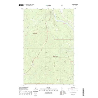 2020 Leonia2020 Print · USGSThe Idaho-Montana borderlands come into focus in this recent survey of the Cabinet Mountains. Local historians can locate Leonia and the Boulder Creek Cem, while tracing mountain terrain from Clifty Mountain to the banks of the Kootenai River.
 - 2020 Map of Line Point, 2020 Print
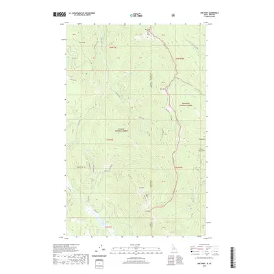 2020 Line Point2020 Print · USGSThe high Purcell Mountains of the Idaho-Montana border are shown here in detail during the early 21st century. Researchers can trace the state line through the wilderness past Line Point and Goat Mtn, or locate remote waters like Solomon Lake.
 - 2020 Map of Benning Mountain, 2020 Print
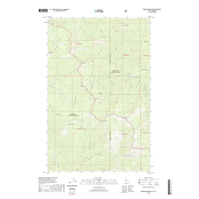 2020 Benning Mountain2020 Print · USGSThe high Cabinet Mountains straddle the Idaho-Montana border in 2020, where the Panhandle's national forests meet. Remote basins and ridgelines can be traced through features like Moose Lake, the Keeler Snowmobile trail, and the heights of Benning Mountain.
 - 2020 Map of Smith Mountain, 2020 Print
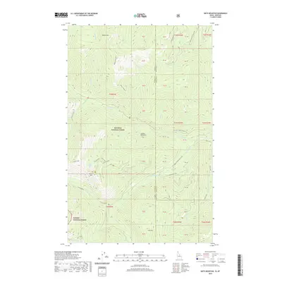 2020 Smith Mountain2020 Print · USGSThe high Idaho-Montana borderlands are captured here in the late 2010s, showing the intersection of the Kaniksu and Kootenai National Forests. Researchers and hikers can trace the remote trails and forest roads leading to Lake Estelle, Smith Mountain, and the headwaters of Callahan Creek.
 - 2020 Map of Canuck Peak, 2020 Print
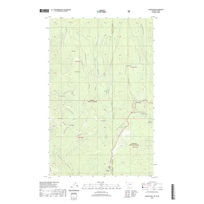 2020 Canuck Peak2020 Print · USGSThe Purcell Mountains straddle the Montana-Idaho border in this 2020 survey of high-country forest lands. Hikers and cartophiles can trace the Pacific NW National Scenic Trail past Canuck Peak and Hidden Lake via a network of forest roads.
 - 2020 Map of Garver Mountain OE N, 2020 Print
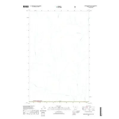 2020 Garver Mountain OE N2020 Print · USGSThe northernmost edge of Lincoln County meets the Canadian border in this recent survey of the high Rockies. Trace the remote mountain drainage of the Yahk River as it receives waters from Malpass Cr and Sprucetree Cr in the deep forest.
 - 2020 Map of Robinson Mountain OE N, 2020 Print
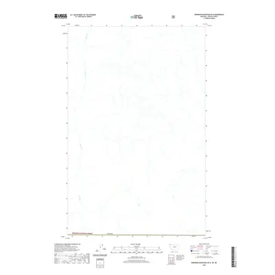 2020 Robinson Mountain OE N2020 Print · USGSThe northern edge of Lincoln County meets the international border with Canada in this 2020 survey of protected timberlands. Researchers can trace the winding course of Bloom Cr through the heart of the Kootenai National Forest.
 - 2020 Map of Red Mountain OE N, 2020 Print
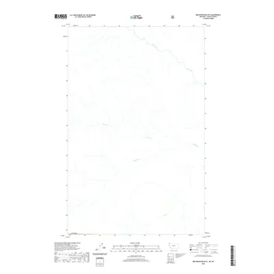 2020 Red Mountain OE N2020 Print · USGSThe international boundary region of Montana and British Columbia is shown in 2020, focusing on the remote wilderness where Purcell and Gold Creeks flow. Genealogists and historians can trace the paths of Gold Creek, Linklater Cr, and Sink Cr through this mountainous terrain.
 - 2020 Map of Bonnet Top OE N, 2020 Print
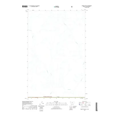 2020 Bonnet Top OE N2020 Print · USGSThe Montana-Canada borderlands at the edge of the Kootenai National Forest appear here in recent detail. Researchers can trace the remote drainage systems of the Yahk River and Gilnockie Cr along the international boundary.
 - 2020 Map of Northwest Peak OE N, 2020 Print
 2020 Northwest Peak OE N2020 Print · USGSThe international border with Canada meets the northern reaches of the national forests in this 2020 survey. Researchers can trace remote mountain drainages like Hawkins Creek, Manson Cr, and America Cr along the high-elevation boundary.
 - 2020 Map of Mount Henry OE N, 2020 Print
 2020 Mount Henry OE N2020 Print · USGSThe international borderlands of Lincoln County and British Columbia are captured in this recent survey. Researchers can trace the drainages of Ward Cr and Blacktail Cr as they weave through the northern reaches of the Kootenai National Forest.
 - 2020 Map of Ksanka Peak OE N, 2020 Print
 2020 Ksanka Peak OE N2020 Print · USGSThe international border between Montana and British Columbia is traced here in the early twenty-first century. Researchers can map the untouched hydrography of the Kootenai National Forest where it crosses into Canada.
 - 2020 Map of Stahl Peak OE N, 2020 Print
 2020 Stahl Peak OE N2020 Print · USGSThe northernmost reaches of the Montana wilderness meet the boundary of Canada in this 2020 topographic study. Researchers can trace the complex drainage patterns and mountain stream networks flowing through the protected lands of the Kootenai National Forest.
 - 2020 Map of Tuchuck Mountain OE N, 2020 Print
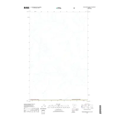 2020 Tuchuck Mountain OE N2020 Print · USGSThe northern reaches of the Montana wilderness meet the international border in the years following the turn of the millennium. Trace the intersection of Kootenai National Forest and Flathead National Forest along the line of Canada.
 - 2020 Map of Silver Butte Pass, 2020 Print
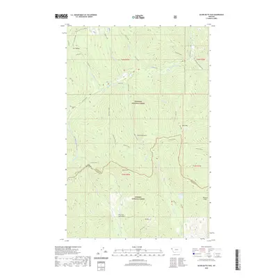 2020 Silver Butte Pass2020 Print · USGSHigh in the Montana backcountry at the start of the 2020s, this area showcases the intersection of the Kootenai and Kaniksu National Forests. Hikers and historians can trace the paths of the Divide Trail 6 (Silver Butte) and find remote landmarks like Silver Butte Pass and Iron Meadow.
 - 2020 Map of Goat Peak, 2020 Print
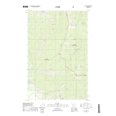 2020 Goat Peak2020 Print · USGSHigh in the northwestern Rockies, this 2020 survey documents the wild intersection of the Kaniksu and Kootenai National Forests. Trace the steep alpine terrain between Goat Peak and Baree Lake, or follow the high county line along the Cabinet Mountains.
 - 2020 Map of Miller Lake, 2020 Print
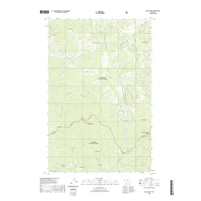 2020 Miller Lake2020 Print · USGSThe Cabinet Mountains wilderness in northwestern Montana appears here as a complex network of high peaks and forest management boundaries. Researchers can trace historic access routes across Himes Pass, locate the secluded Miller Lake, or follow the Vermilion River toward Vermilion Falls.
 - 2020 Map of Mantrap Fork, 2020 Print
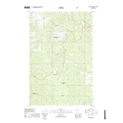 2020 Mantrap Fork2020 Print · USGSThe high Cabinet Mountains wilderness comes into focus in this recent survey of the Lincoln and Sanders County line. Naturalists and researchers can trace the remote watersheds of Mantrap Fork and find secluded landmarks like Whitney Lake and Jefferson Meadows.
 - 2020 Map of Pink Mountain, 2020 Print
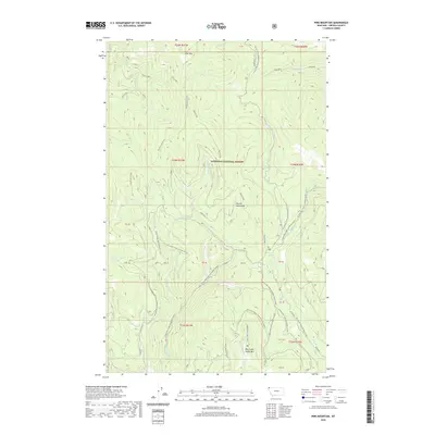 2020 Pink Mountain2020 Print · USGSThe Purcell Mountains in Lincoln County were a hub of mountain recreation and forestry management in the early twenty-first century. Researchers can trace the network of forest roads and winter trails connecting Pink Mtn, Horse Lakes, and Big Creek Baldy Mtn.
 - 2020 Map of Webb Mountain, 2020 Print
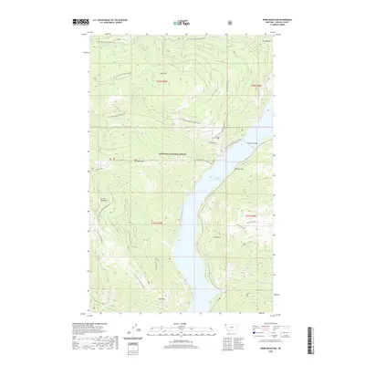 2020 Webb Mountain2020 Print · USGSIn the Kootenai National Forest during the early twenty-first century, the Purcell Mountains tower over the blue waters of Lake Koocanusa. Researchers can trace the Pacific NW National Scenic Trail as it passes near Webb Mtn or locate the site of Sutton Creek Falls.
 - 2020 Map of Scenery Mountain, 2020 Print
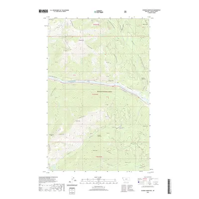 2020 Scenery Mountain2020 Print · USGSLincoln County is documented here in the early twenty-first century as the Kootenai River cuts through high peaks. Trace mountain routes like Historic Highway 2 E or find back-country landmarks such as Upper Cedar Lake and Scenery Mtn.
 - 2020 Map of Cable Mountain, 2020 Print
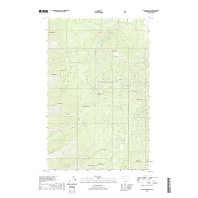 2020 Cable Mountain2020 Print · USGSThe high peaks of the Cabinet Mountains are meticulously documented here in this recent study of Lincoln County. Researchers can trace the drainages of Libby Creek and Poorman Creek or locate landmarks like McKay Mountain and Cable Mtn.
Showing maps 1-25 of 206
Top cities of Lincoln County
- Libby historical maps
- Eureka historical maps
- Troy historical maps
- Trego historical maps
- Fortine historical maps
- Rexford historical maps
See more
Frequently asked questions
- What are the different types of historical maps available for Lincoln County?
- What is the oldest map of Lincoln County?
- Where can I purchase historical maps of Lincoln County for my home or office?
- Where can I download high-res historical maps of Lincoln County?
- Are there historical topographic maps available for Lincoln County?
- Is there historical aerial imagery available for Lincoln County?
- Where are historical maps of Lincoln County sourced from?