2000s (21st Century) Maps of Lincoln County, Montana
Explore 502 historic maps of Lincoln County from the 2000s (21st Century). These maps offer a rare glimpse into what life looked like during the 2000s — showing old roads, neighborhoods, homes, and landmarks that have changed or disappeared over time.
Whether you're researching your family's past, planning a metal detecting trip, or studying how Lincoln County's landscape evolved across the 2000s, these high-resolution maps are a powerful tool for exploring the history of this region.
- Focus on a specific era: All maps on this page are from the 2000s, giving you a focused view of this time period.
- See what’s changed: Compare century-old streets, trails, and buildings to today's modern landscape using overlays and satellite layers.
- Research with precision: Use these maps for genealogy, historical research, land use analysis, or educational projects.
- View, download, or print: Maps are fully viewable online in high resolution, and can be downloaded or printed for your own records.
Start exploring Lincoln County's history through authentic maps from the 2000s. This is your window into the past.
Lincoln County, MT maps
(502)- 2011 Map of Red Mountain, 2011 Print
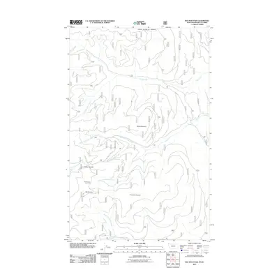 2011 Red Mountain2011 Print · USGSThe high Montana-Canada borderlands come into focus during the early 2010s, showing a landscape defined by the international boundary and rugged summits. Trace the headwaters of the East Fork Yaak River and find landmarks like Dodge Summit and the Red Mountain Snow Gage.
 - 2011 Map of Cable Mountain, 2011 Print
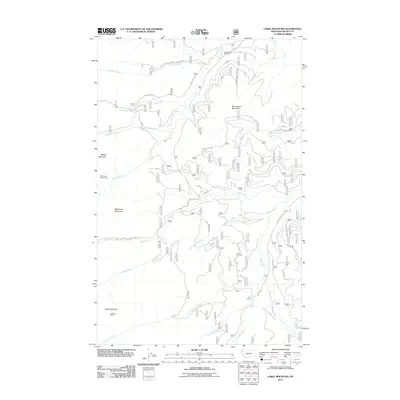 2011 Cable Mountain2011 Print · USGSLincoln County mining and forest lands are documented here during the early twenty-first century. Genealogists and historians can trace the locations of Old Town, the Cherry Creek Mill Mine, and the Half Moon Mine deep in the Cabinet Mountains.
 - 2011 Map of Mount Baldy, 2011 Print
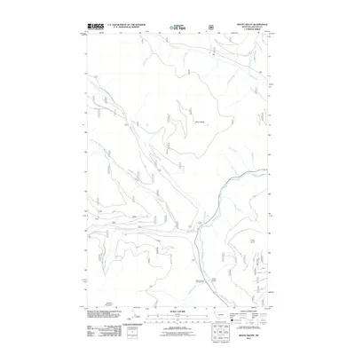 2011 Mount Baldy2011 Print · USGSLincoln County’s northwestern wilderness is captured here in the early twenty-first century as a landscape of timber and trout streams. Hikers and historians can trace the paths around Mount Baldy and locate landmarks like Lucky Point or the Red Top Creek Campground along the Yaak River.
 - 2011 Map of Spar Lake, 2011 Print
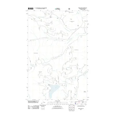 2011 Spar Lake2011 Print · USGSLincoln County mining and recreation are captured in this 2011 survey of the Cabinet Mountains. Mineral seekers and hikers can trace the geography of the Bimetalic Mine, the shoreline of Spar Lake, and high points like Stanley Peak.
 - 2011 Map of Lost Horse Mountain, 2011 Print
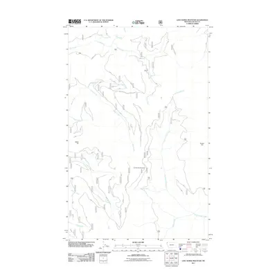 2011 Lost Horse Mountain2011 Print · USGSLincoln County, Montana, is mapped in the early twenty-first century as a land shaped by forestry infrastructure and high-mountain hydrology. Researchers can trace the extensive road network including Natl Forest Develop Road 6065 RD and find landmarks like Turner Falls and Bunker Hill.
 - 2011 Map of Libby, 2011 Print
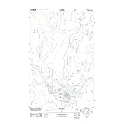 2011 Libby2011 Print · USGSLibby and the Kootenai River valley are documented here in the early twenty-first century as the community balances its industrial roots with mountain recreation. Genealogists and researchers can locate the Libby Cemetery, the Saint Anthony Mine, and local landmarks like the Dome Theater.
 - 2011 Map of McGuire Mountain, 2011 Print
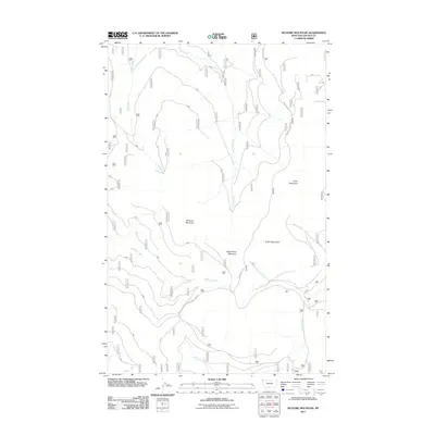 2011 McGuire Mountain2011 Print · USGSLincoln County’s high country is documented here in the early twenty-first century, showing the intricate forest road systems and high summits of the Kootenai region. Trace the drainages of Sutton Creek or locate the peaks of McGuire Mountain and Lydia Mountain.
 - 2011 Map of Richards Mountain, 2011 Print
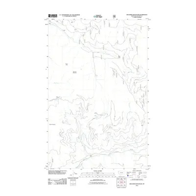 2011 Richards Mountain2011 Print · USGSLincoln County's high timberlands and headwaters are captured here just over a decade ago. Genealogists and local historians can trace family-named landmarks like Baener Ranch and follow the paths of Richards Creek or Snag Gulch.
 - 2011 Map of Sawtooth Mountain, 2011 Print
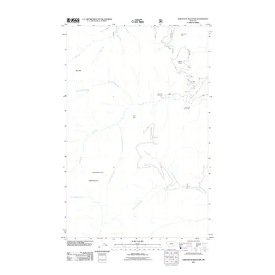 2011 Sawtooth Mountain2011 Print · USGSLincoln County’s high backcountry is detailed here in the early twenty-first century, showing a landscape of mining history and mountain summits. Researchers can locate the Stanley Creek Mine and recreation sites like Ross Creek Campground and Ross Creek Falls and Vista.
 - 2011 Map of Ibex Peak, 2011 Print
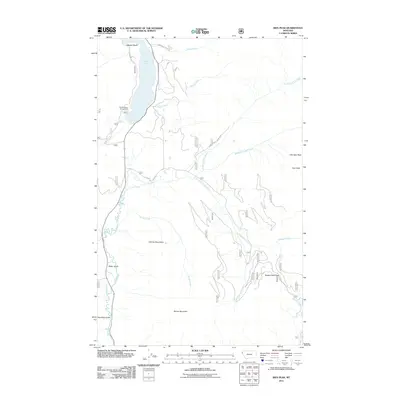 2011 Ibex Peak2011 Print · USGSLincoln County in the early twenty-first century remains defined by the towering Cabinet Mountains and the winding Bull River. Researchers can trace forest access routes and mountain landmarks like Snake Creek Pass, Ibex Peak, and the Bad Medicine Campground at Bull Lake.
 - 2011 Map of Davis Mountain, 2011 Print
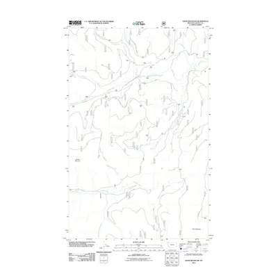 2011 Davis Mountain2011 Print · USGSLincoln County, Montana, is shown here in the early twenty-first century as a land of high peaks and vital waterways. Researchers can trace forest access via Pinkham Mtn Rd and the networks surrounding Davis Mountain and Sheep Mountain.
 - 2011 Map of Parsnip Mountain, 2011 Print
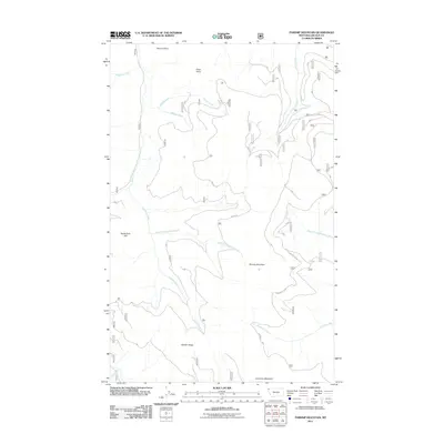 2011 Parsnip Mountain2011 Print · USGSLincoln County’s high country is captured here during the early twenty-first century, showing a landscape defined by sharp ridges and deep creek drainages. Trace the complex terrain around Parsnip Mountain and Garden Ridge, or locate old forest routes like Big Cr Rd.
 - 2011 Map of Fisher Mountain, 2011 Print
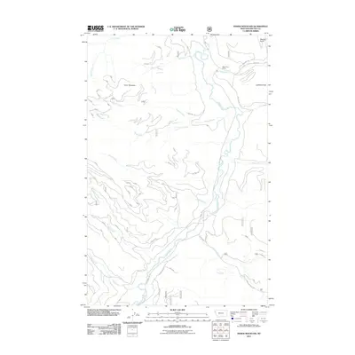 2011 Fisher Mountain2011 Print · USGSLincoln County’s river valleys and mountain peaks are captured here in the early twenty-first century. Researchers can trace the drainage of the Fisher River and locate remote landmarks like the Fisher River Siding and Lightning Peak.
 - 2011 Map of Treasure Mountain, 2011 Print
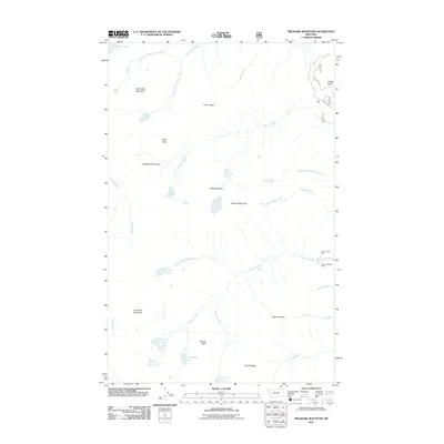 2011 Treasure Mountain2011 Print · USGSLincoln County’s high country is captured here during the early twenty-first century, showing a remote landscape of mining and alpine lakes. Genealogists and historians can locate the Victor-Empire Mine and Silver Mountain Mine or trace the drainages of Flower Creek and Granite Creek.
 - 2011 Map of Robinson Mountain, 2011 Print
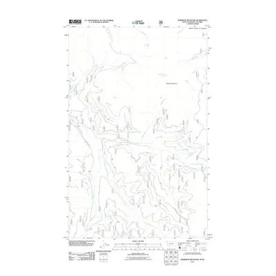 2011 Robinson Mountain2011 Print · USGSLincoln County’s northern wilderness is captured here in the early twenty-first century, showing the remote high-country drainage basins near the Canadian border. Researchers can trace forest development routes like Mac Intyre Rd and the waters of Gold Lake and Plumb Bob Lake.
 - 2011 Map of Kootenai Falls, 2011 Print
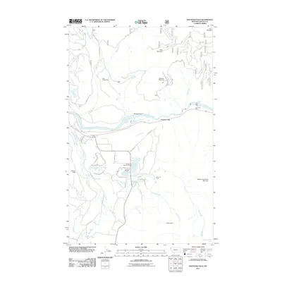 2011 Kootenai Falls2011 Print · USGSLincoln County at the start of the decade reveals a landscape of river-carved valleys and high peaks near the Kootenai River. Genealogists and hikers can trace the geography around Larchwood Cemetery, Swansons Lodge, and the cascades of Kootenai Falls.
 - 2011 Map of Eureka South, 2011 Print
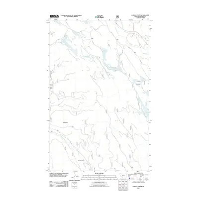 2011 Eureka South2011 Print · USGSThe Tobacco Valley south of Eureka comes into focus in this early 21st-century survey, showing the intricate network of glacial lakes and mountain drainages. Researchers can locate the Luman H Bradburn Mine, trace Pinkham Creek, or explore the area around Othorp Lake.
 - 2011 Map of Boulder Lakes, 2011 Print
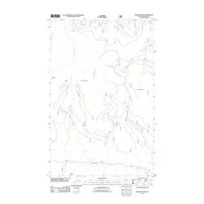 2011 Boulder Lakes2011 Print · USGSLincoln County's high ridges and watersheds are captured here in the early twenty-first century, showing a landscape defined by forest management and drainage systems. Hikers and researchers can trace the routes to Big Creek Cabin, Boulder Lakes, and the Little North Fork Falls.
 - 2011 Map of Newton Mountain, 2011 Print
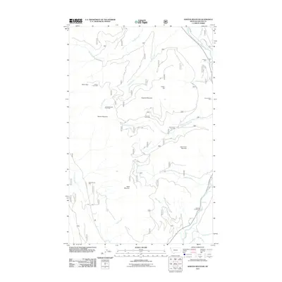 2011 Newton Mountain2011 Print · USGSLincoln County’s high ridgelines and mining history are clearly visible in this modern survey of the Montana mountains. Researchers can trace historic extraction sites like the Morning Glory Mine or locate recreational landmarks such as Yaak Falls and Windy Pass.
 - 2011 Map of Horse Mountain, 2011 Print
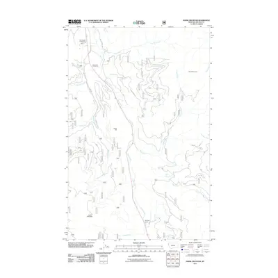 2011 Horse Mountain2011 Print · USGSLincoln County’s timber and recreation lands are captured here in the early 2000s, showing a landscape defined by deep creek valleys and forest service access. Trace the routes of Champion Haul Rd and Libby Creek Rd to find Tepee Lake and the Paul Bunyan Campground.
 - 2011 Map of Elephant Peak, 2011 Print
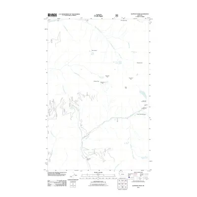 2011 Elephant Peak2011 Print · USGSHigh in the Montana mountains during the early twenty-first century, this area shows a landscape defined by mining history and steep alpine passes. Researchers can locate the Heidelberg Mine complex or trace travel routes through Milwaukee Pass and Saint Paul Pass.
 - 2011 Map of Troy, 2011 Print
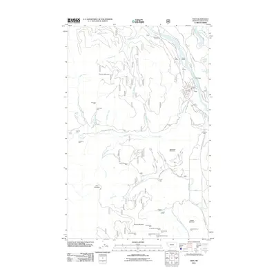 2011 Troy2011 Print · USGSTroy sits at a mountain-bound bend of the Kootenai River in the early 2000s, serving as a gateway to Montana's rugged mining country. Researchers can trace decades of industrial activity at the Snowstorm Mine, Crescent Tunnel, or the Giant Sunrise Mine on the slopes of Grouse Mountain.
 - 2011 Map of Deer Creek, 2011 Print
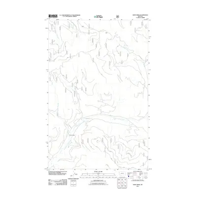 2011 Deer Creek2011 Print · USGSPleasant Valley and the Fisher River basin are captured here in the early twenty-first century as a complex of forest roads and waterways. Researchers can trace the modern drainage of Tamarack Creek or locate access points along NFD 2345 Rd and Marl Creek.
 - 2011 Map of Kenelty Mountain, 2011 Print
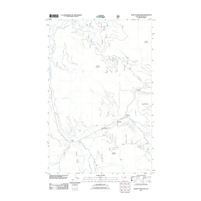 2011 Kenelty Mountain2011 Print · USGSLincoln County’s mountain valleys are captured here in the early twenty-first century, showing a landscape defined by timber roads and river forks. Trace the confluence of the Pleasant Valley Fisher River near Sedlak Park and the Lyons Spring Campground.
 - 2011 Map of Northwest Peak, 2011 Print
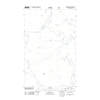 2011 Northwest Peak2011 Print · USGSHigh in the Purcell Mountains during the early 2010s, this area shows the essential water management and forest infrastructure of Northwest Montana. Researchers can trace the headwaters of the West Fork Yaak River and locate remote landmarks like Northwest Peak and Lake Florence.
Showing maps 1-25 of 502
Top cities of Lincoln County
- Libby historical maps
- Eureka historical maps
- Troy historical maps
- Trego historical maps
- Fortine historical maps
- Rexford historical maps
See more
Frequently asked questions
- What are the different types of historical maps available for Lincoln County?
- What is the oldest map of Lincoln County?
- Where can I purchase historical maps of Lincoln County for my home or office?
- Where can I download high-res historical maps of Lincoln County?
- Are there historical topographic maps available for Lincoln County?
- Is there historical aerial imagery available for Lincoln County?
- Where are historical maps of Lincoln County sourced from?