2000s (21st Century) Maps of Wolf Point District, Montana
Explore 120 historic maps of Wolf Point District from the 2000s (21st Century). These maps offer a rare glimpse into what life looked like during the 2000s — showing old roads, neighborhoods, homes, and landmarks that have changed or disappeared over time.
Whether you're researching your family's past, planning a metal detecting trip, or studying how Wolf Point District's landscape evolved across the 2000s, these high-resolution maps are a powerful tool for exploring the history of this region.
- Focus on a specific era: All maps on this page are from the 2000s, giving you a focused view of this time period.
- See what’s changed: Compare century-old streets, trails, and buildings to today's modern landscape using overlays and satellite layers.
- Research with precision: Use these maps for genealogy, historical research, land use analysis, or educational projects.
- View, download, or print: Maps are fully viewable online in high resolution, and can be downloaded or printed for your own records.
Start exploring Wolf Point District's history through authentic maps from the 2000s. This is your window into the past.
Wolf Point District, MT maps
(120)- 2011 Map of North of Volt, 2011 Print
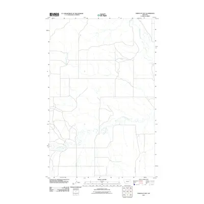 2011 North of Volt2011 Print · USGSThe Wolf Point District of northeastern Montana is shown here in the early twenty-first century, a landscape of open plains and winding coulees. Researchers can trace the courses of the West Fork Poplar River and Cottonwood Creek alongside local routes like Waska Rd.
 - 2011 Map of Shipstead Coulee, 2011 Print
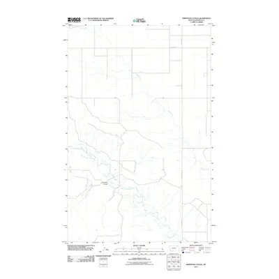 2011 Shipstead Coulee2011 Print · USGSNortheastern Montana ranch land remains largely unchanged in this modern-era survey of the high plains. Genealogists and local historians can trace the paths of West Fork Poplar River and Shipstead Coulee alongside rural routes like South 4 Buttes Rd.
 - 2011 Map of Todd Lakes SE, 2011 Print
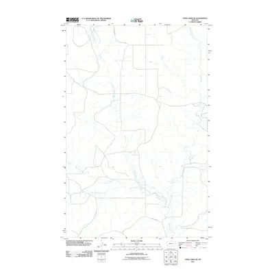 2011 Todd Lakes SE2011 Print · USGSRoosevelt County's open rangeland is captured here in the early twenty-first century, showing a landscape shaped by the branching Wolf Creek. Researchers can trace the paths of Middle Fork Wolf Creek and County Line Rd through this remote terrain.
 - 2011 Map of Cabarett Coulee, 2011 Print
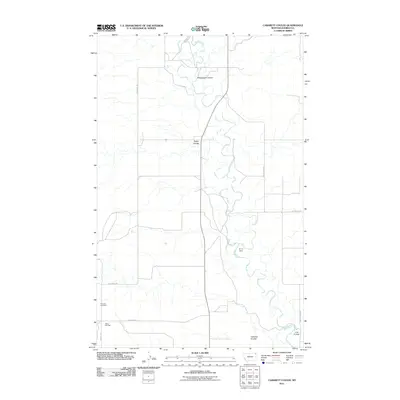 2011 Cabarett Coulee2011 Print · USGSDaniels County at the start of the 2010s reveals a terrain shaped by the winding Poplar River and its intricate network of coulees. Genealogists and local historians can locate rural landmarks like Fairview Cemetery, the Silver Star Hall, and Drury Dam.
 - 2011 Map of Macon, 2011 Print
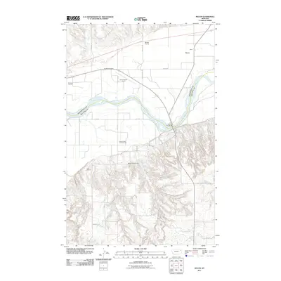 2011 Macon2011 Print · USGSRoosevelt County's riverfront and prairie landscapes are documented here during the early twenty-first century. Genealogists and local historians can locate Courchene Cemetery, the Macon settlement, and the Lewis and Clark Bridge over the Missouri River.
 - 2011 Map of Nielsen Coulee, 2011 Print
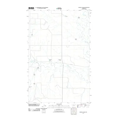 2011 Nielsen Coulee2011 Print · USGSNortheastern Montana ranching country remains defined by its vital water sources in this 2011 survey of the Poplar River basin. Genealogists and local historians can trace family-named landmarks and rural infrastructure including Nielsen Coulee, Below Zero Dam, and Lekvold Rd.
 - 2011 Map of South of Four Buttes, 2011 Print
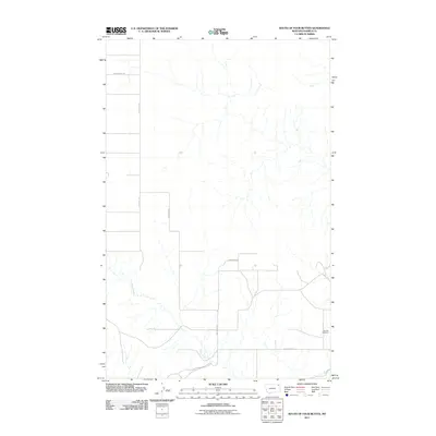 2011 South of Four Buttes2011 Print · USGSDaniels County ranching country is documented here in the early twenty-first century, showing the quiet persistence of rural Montana life. Researchers can locate the Fairview Cemetery and trace the course of Police Creek along the winding Police Creek Rd.
 - 2011 Map of Bears Nest, 2011 Print
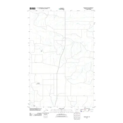 2011 Bears Nest2011 Print · USGSRoosevelt County's high plains are documented here in the early twenty-first century, showing a landscape shaped by reservation history and prairie hydrology. Researchers can trace rural routes like Benrud Rd to reach Bears Nest or locate the Fort Peck Reservation Number 21 Dam.
 - 2011 Map of Todd Lakes NE, 2011 Print
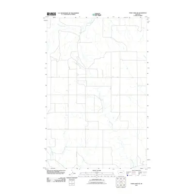 2011 Todd Lakes NE2011 Print · USGSNortheastern Montana's Wolf Point District remains a landscape of open prairie and winding drainages in the early twenty-first century. Researchers can trace the paths of East Fork Wolf Creek and Cottonwood Creek alongside local routes like Toews Rd and Wall St.
 - 2011 Map of Wolf Point NE, 2011 Print
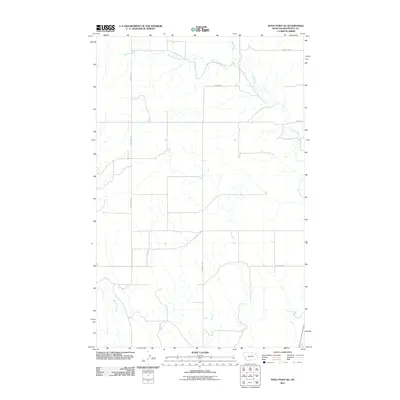 2011 Wolf Point NE2011 Print · USGSThe Wolf Point District of Roosevelt County is shown here in the early twenty-first century, featuring the vast drainage systems of the Montana plains. Genealogists and local historians can trace the paths of West Fork Tule Creek and Little Wolf Creek alongside rural routes like Benrud Rd.
 - 2011 Map of Chelsea SW, 2011 Print
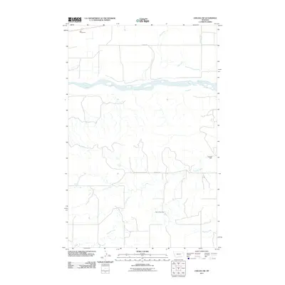 2011 Chelsea SW2011 Print · USGSThe Missouri River valley in northeastern Montana is captured here as it appeared in 2011. Genealogists and researchers can trace the local water-management landscape through features like Nickwall Dam, North Place Dam, and RBW Campground.
 - 2011 Map of Poplar Coulee, 2011 Print
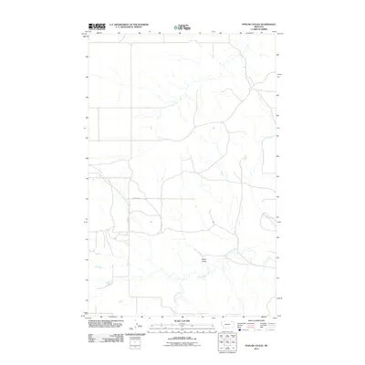 2011 Poplar Coulee2011 Print · USGSThe northern plains of Roosevelt County are captured here in the early twenty-first century, showing the rural section lines of the Wolf Point District. Researchers can trace the winding path of Cottonwood Creek and the topography of Poplar Coulee near local routes like Winderal Rd.
 - 2011 Map of Flynn Creek North, 2011 Print
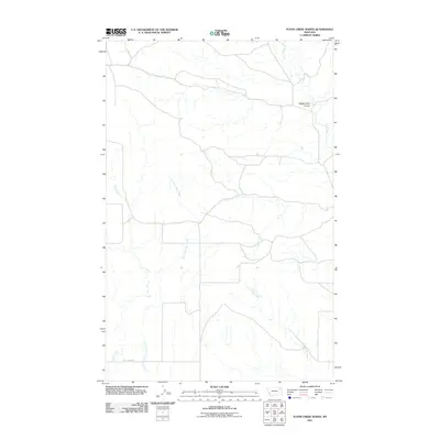 2011 Flynn Creek North2011 Print · USGSThe Roosevelt County high plains are captured here in the early twenty-first century, showcasing the intricate drainage systems of the Wolf Point District. Researchers can trace the winding paths of Flynn Creek and Littleman Creek, or locate the specific topography of Badger Hole Coulee.
 - 2011 Map of Jakes Coulee, 2011 Print
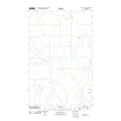 2011 Jakes Coulee2011 Print · USGSNortheastern Montana ranching country is documented here in the early twenty-first century, showing a landscape defined by vital water management. Researchers can trace the drainage of the West Fork Poplar River and locate remote landmarks like the Below Zero Dam and Jakes Coulee.
 - 2011 Map of Chelsea NW, 2011 Print
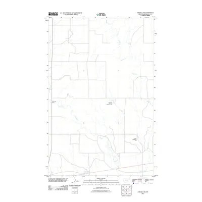 2011 Chelsea NW2011 Print · USGSRoosevelt County's high plains are documented here in the early twenty-first century, showing the intersection of natural drainages and man-made infrastructure. Researchers can trace the paths of Chelsea Creek and Tule Creek or locate landmarks like the Anderson Reservoir Number 1 Dam.
 - 2011 Map of Tule Valley East, 2011 Print
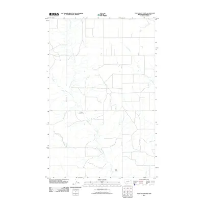 2011 Tule Valley East2011 Print · USGSRoosevelt County's northern plains are captured here in the early twenty-first century, showing the Wolf Point District's rural character. Trace local land use and hydrology via the Structure Number 95 Dam and the forks of Tule Creek.
 - 2011 Map of Wolf Point, 2011 Print
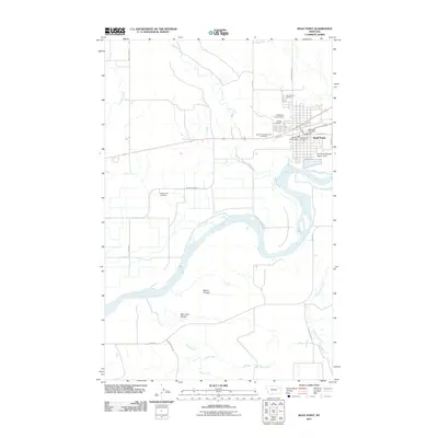 2011 Wolf Point2011 Print · USGSWolf Point and the Missouri River corridor are documented here during the early twenty-first century. Researchers can locate family landmarks like Greenwood Cemetery, Anderson Private Field, and Chicken Hill Cemetery.
 - 2011 Map of Reed Springs, 2011 Print
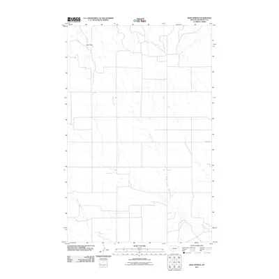 2011 Reed Springs2011 Print · USGSRoosevelt County ranching country is captured here during the early twenty-first century, showing a landscape shaped by intermittent water and wide-open range. Researchers can locate Reed Springs and trace the winding course of Boxelder Creek past the landmark at Castle Rock.
 - 2011 Map of West Fork NE, 2011 Print
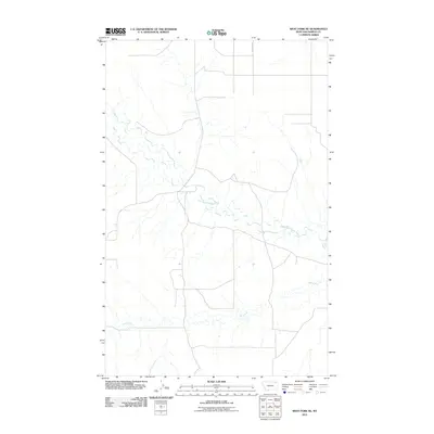 2011 West Fork NE2011 Print · USGSNortheastern Montana’s rural landscape is captured here in the early twenty-first century, showing the remote drainages of Roosevelt County. Genealogists and historians can trace the course of the West Fork Poplar River, Hell Creek, and the path of Fladager Rd.
 - 2011 Map of Volt, 2011 Print
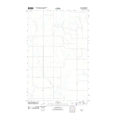 2011 Volt2011 Print · USGSRoosevelt County's agricultural prairie is documented here during the early twenty-first century as it appeared in the Wolf Point District. Researchers can trace the path of Tule Creek and locate rural landmarks like Volt, Lustre Grain Rd, and Powder River Rd.
 - 2011 Map of Wolf Point NW, 2011 Print
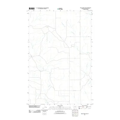 2011 Wolf Point NW2011 Print · USGSRoosevelt County's high plains and seasonal creek beds are documented here during the early twenty-first century. Researchers can trace rural transportation routes like Volt Rd and explore the geography of Wolf Creek and the uniquely named Beef Can Aly.
 - 2011 Map of Tule Valley West, 2011 Print
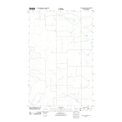 2011 Tule Valley West2011 Print · USGSRoosevelt County's high plains are captured here in the early twenty-first century, showing a landscape shaped by the Tule Valley drainage. Genealogists and local historians can trace rural property access via Volt Rd, Powder River RD, and the winding West Fork Tule Creek.
 - 2011 Map of Sims Spring, 2011 Print
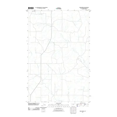 2011 Sims Spring2011 Print · USGSThe Montana prairie of the Wolf Point District is captured here in the early twenty-first century, showing a landscape shaped by rural roads and ranchland. You can trace the winding paths of Boxelder Creek, Chelsea Creek, and the namesake Sims Spring.
 - 2011 Map of Flynn Creek South, 2011 Print
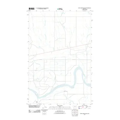 2011 Flynn Creek South2011 Print · USGSEastern Montana's river valley comes to life in this survey of the Missouri River plains during the early twenty-first century. Genealogists and local historians can trace rural routes like Lowmiller Rd and watercourses like Oswego Creek.
 - 2014 Map of Todd Lakes NE, 2014 Print
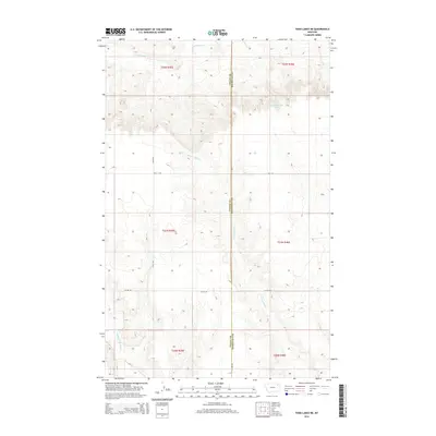 2014 Todd Lakes NE2014 Print · USGSThe Montana high prairie along the Valley and Roosevelt county line remains a landscape of wide-open ranch land and deep coulees. Researchers can trace the drainages of E Fork Wolf Cr and find local landmarks like Lustre Rd and Toews Rd.
Showing maps 1-25 of 120
Top cities near Wolf Point District
Top neighborhoods of Wolf Point District
Frequently asked questions
- What are the different types of historical maps available for Wolf Point District?
- What is the oldest map of Wolf Point District?
- Where can I purchase historical maps of Wolf Point District for my home or office?
- Where can I download high-res historical maps of Wolf Point District?
- Are there historical topographic maps available for Wolf Point District?
- Is there historical aerial imagery available for Wolf Point District?
- Where are historical maps of Wolf Point District sourced from?