2020s Maps of Wolf Point District, Montana
Explore 48 historic maps of Wolf Point District from the 2020s. These maps offer a rare glimpse into what life looked like during the 2020s — showing old roads, neighborhoods, homes, and landmarks that have changed or disappeared over time.
Whether you're researching your family's past, planning a metal detecting trip, or studying how Wolf Point District's landscape evolved across the 2020s, these high-resolution maps are a powerful tool for exploring the history of this region.
- Focus on a specific era: All maps on this page are from the 2020s, giving you a focused view of this time period.
- See what’s changed: Compare century-old streets, trails, and buildings to today's modern landscape using overlays and satellite layers.
- Research with precision: Use these maps for genealogy, historical research, land use analysis, or educational projects.
- View, download, or print: Maps are fully viewable online in high resolution, and can be downloaded or printed for your own records.
Start exploring Wolf Point District's history through authentic maps from the 2020s. This is your window into the past.
Wolf Point District, MT maps
(48)- 2020 Map of Volt, 2020 Print
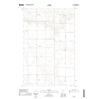 2020 Volt2020 Print · USGSRoosevelt County rangeland is documented here in the modern era, showing the sparse settlement around Volt. Genealogists and researchers can trace the reach of rural infrastructure along Lustre Rd and the seasonal waters of Tule Cr.
 - 2020 Map of Tule Valley East, 2020 Print
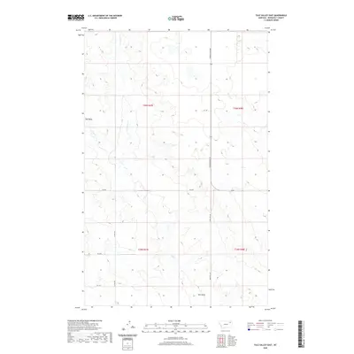 2020 Tule Valley East2020 Print · USGSRoosevelt County’s high plains and deep coulees are captured here as they appeared in 2020. Researchers can trace the remote drainage of N Fork Tule Cr and locate isolated rural tracks like Windy Hill Rd and Hs 2 Dr.
 - 2020 Map of Flynn Creek North, 2020 Print
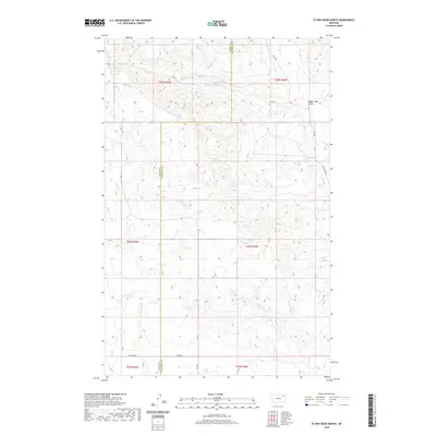 2020 Flynn Creek North2020 Print · USGSThe Missouri River plateau on the Valley and Roosevelt county line is captured here in the early twenty-first century. Researchers can trace the winding paths of Flynn Cr and Littleman Cr or locate remote landmarks like Badger Hole Coulee.
 - 2020 Map of Bears Nest, 2020 Print
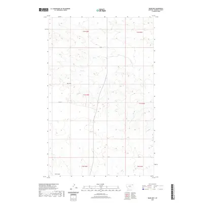 2020 Bears Nest2020 Print · USGSRoosevelt County's high plains and seasonal coulees are captured here in the years following the turn of the millennium. Researchers can trace land divisions across Bears Nest and locate vital water sources like Snell Spring and Assiniboine Cr.
 - 2020 Map of Wolf Point NW, 2020 Print
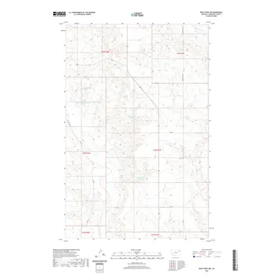 2020 Wolf Point NW2020 Print · USGSThe high prairie of Roosevelt County comes into focus in the early twenty-first century as ranch roads and seasonal creeks define the rural landscape. Researchers can locate remote water sources like 28N46E01CBBA02 Spring and trace the paths of Wolf Cr and Powder River Rd.
 - 2020 Map of Tule Valley West, 2020 Print
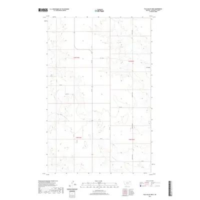 2020 Tule Valley West2020 Print · USGSNortheastern Montana ranchlands are mapped here in the early twenty-first century as they stretch across the Wolf Point District. Researchers can trace the drainage of Tule Cr and follow rural routes like Powder River Rd and Volt Rd.
 - 2020 Map of Todd Lakes NE, 2020 Print
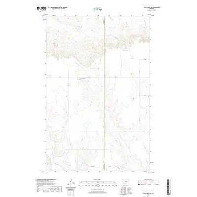 2020 Todd Lakes NE2020 Print · USGSNortheastern Montana ranching country is captured here in the contemporary era, spanning the Valley and Roosevelt County line. Researchers can trace rural infrastructure and water sources like Unrau Airport, Lustre Rd, and the 31N46E05BCAD01 Spring.
 - 2020 Map of Cabarett Coulee, 2020 Print
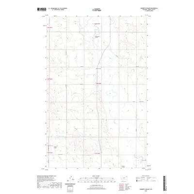 2020 Cabarett Coulee2020 Print · USGSThe Daniels County high plains are captured here in the early twenty-first century as the Poplar River meanders through a landscape of remote coulees. Genealogists and local historians can trace the rural road network to Fairview Cem or follow the paths of Manternach Coulee and Line Coulee.
 - 2020 Map of South of Four Buttes, 2020 Print
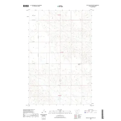 2020 South of Four Buttes2020 Print · USGSDaniels County, Montana, is shown in the modern era as a landscape of structured ranchland and deep coulees. Researchers can trace land tracts via local routes like Ferestad Rd and Wilcoxon Rd or follow the path of Police Cr.
 - 2020 Map of Nielsen Coulee, 2020 Print
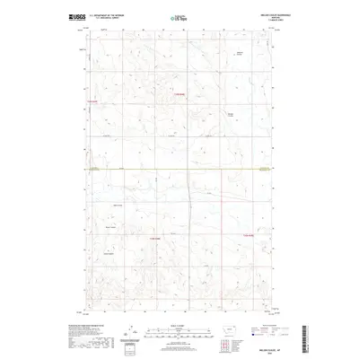 2020 Nielsen Coulee2020 Print · USGSMontana's high plains near the Daniels and Roosevelt county line are documented here in the early twenty-first century. Genealogists and local historians can trace the intricate drainage systems and rural routes including Poplar River, Nielsen Coulee, and Lekvold Rd.
 - 2020 Map of Todd Lakes SE, 2020 Print
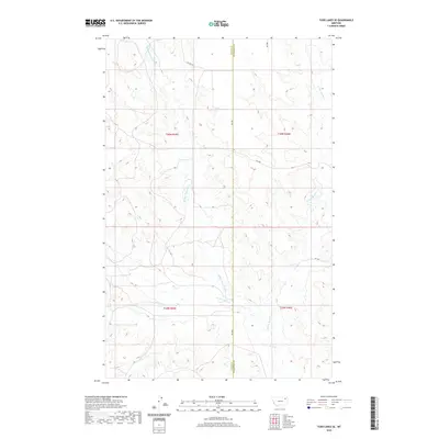 2020 Todd Lakes SE2020 Print · USGSThe high plains of the Wolf Point district come to life in this modern survey of the Montana prairie. Researchers can trace the intricate drainage of Middle Fork Wolf Cr and W Fork Wolf Cr across rural routes like Co Line Rd.
 - 2020 Map of Reed Springs, 2020 Print
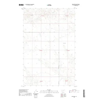 2020 Reed Springs2020 Print · USGSRoosevelt County's high plains are captured here in the early twenty-first century, showcasing the vital water sources and land divisions of the Wolf Point District. Researchers can trace the rugged drainage of Smith Coulee and locate landmarks like Castle Rock and Reed Springs.
 - 2020 Map of Wolf Point NE, 2020 Print
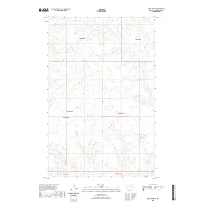 2020 Wolf Point NE2020 Print · USGSThe Wolf Point district of Montana in the early twenty-first century is defined by its network of springs and creek beds. Genealogists and land researchers can trace property boundaries and natural landmarks like Brown Coulee, W Fork Tule Cr, and Little Wolf Cr.
 - 2020 Map of Poplar Coulee, 2020 Print
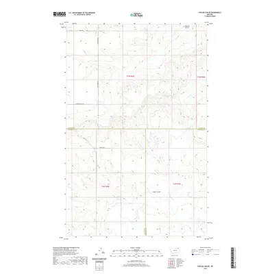 2020 Poplar Coulee2020 Print · USGSNortheastern Montana ranching country is detailed here at the convergence of three counties in the twenty-first century. Researchers can trace land boundaries and rural routes like Winderal Rd and Kegel Rd near Poplar Coulee.
 - 2020 Map of Sims Spring, 2020 Print
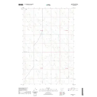 2020 Sims Spring2020 Print · USGSThe Wolf Point District of Roosevelt County is shown here in the contemporary era, highlighting the vital water sources and drainages of the high plains. Researchers can trace the paths of Boxelder Cr and Chelsea Cr or locate specific landmarks like Sims Spring.
 - 2020 Map of Macon, 2020 Print
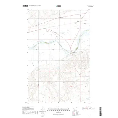 2020 Macon2020 Print · USGSThe Missouri River valley south of Macon comes into focus in the early twenty-first century as it winds through Roosevelt and McCone counties. Genealogists and local historians can locate the Courchene Cem and trace crossings at the Lewis and Clark Bridge.
 - 2020 Map of West Fork NE, 2020 Print
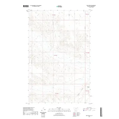 2020 West Fork NE2020 Print · USGSDaniels County in 2020 remains a landscape of open prairie and deep coulees defined by the W Fork Poplar River. Genealogists and researchers can trace family-named routes like Fladager Rd, Shipstead Rd, and J Wilcoxon Rd.
 - 2020 Map of Chelsea SW, 2020 Print
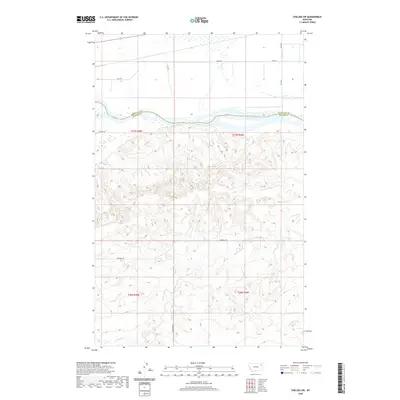 2020 Chelsea SW2020 Print · USGSThe Missouri River breaks of Roosevelt and McCone Counties are documented here in the early twenty-first century. Researchers can trace the rugged drainage patterns of Nickwall Cr and Tule Cr or locate rural access points along BIA Rte 1 and Nickwall Rd.
 - 2020 Map of Jakes Coulee, 2020 Print
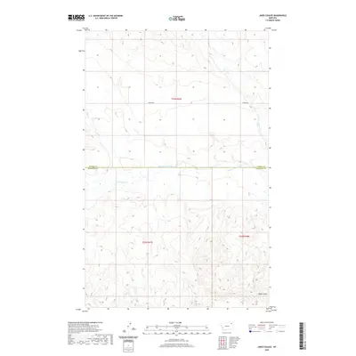 2020 Jakes Coulee2020 Print · USGSNortheastern Montana's high plains are captured here in the years following the turn of the millennium, showing a landscape defined by its remote drainages and county lines. Researchers can trace the paths of W Fork Poplar River, Jakes Coulee, and the rural route of Lannon Rd.
 - 2020 Map of Shipstead Coulee, 2020 Print
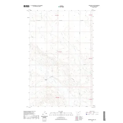 2020 Shipstead Coulee2020 Print · USGSDaniels County in 2020 remains a landscape of open prairie and deep drainages shaped by the northern plains environment. Genealogists and local historians can trace the paths of Police Creek Rd and Wilcoxon Rd as they navigate the terrain of Shipstead Coulee.
 - 2020 Map of Wolf Point, 2020 Print
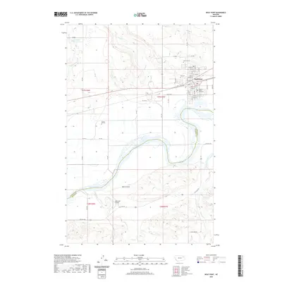 2020 Wolf Point2020 Print · USGSWolf Point and the Missouri River corridor are captured here in the early twenty-first century as the region maintains its position as a vital plains hub. Researchers can trace local heritage at the Roosevelt County Courthouse or locate family plots in Greenwood Cem and Chicken Hill Cem.
 - 2020 Map of Chelsea NW, 2020 Print
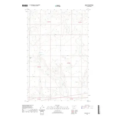 2020 Chelsea NW2020 Print · USGSRoosevelt County's high plains are documented here during the early twenty-first century, showing the rural landscape north of the Missouri River. Map collectors can trace the paths of Tule Cr and Chelsea Cr or locate landmarks like the Tule Creek Bridge.
 - 2020 Map of North of Volt, 2020 Print
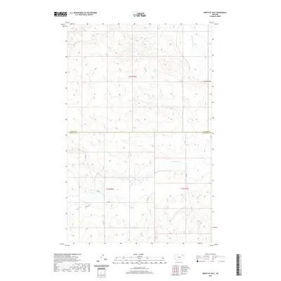 2020 North of Volt2020 Print · USGSThe high plains of the Daniels and Roosevelt County line are captured in this recent survey of the Montana interior. Researchers can trace the drainage of the W Fork Poplar River and follow rural tracks like RD 2033 and DL 1 DR across the open terrain.
 - 2020 Map of Flynn Creek South, 2020 Print
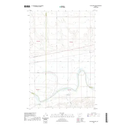 2020 Flynn Creek South2020 Print · USGSThe Missouri River breaks across the Montana plains in this modern survey of the Roosevelt and McCone county border. Researchers can trace the historical path of the Lewis and Clark Trl and identify local drainage features like Steele Coulee and Oswego Cr.
 - 2024 Map of Cabarett Coulee, 2024 Print
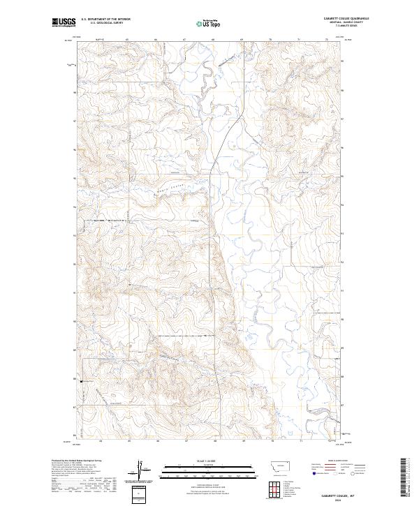 2024 Cabarett Coulee2024 Print · USGSDaniels County ranching country and the winding Poplar River are captured in this recent survey. Researchers can trace land use patterns along Cabarett Coulee or find family history at Fairview Cem and on Old Scobey Rd.
Showing maps 1-25 of 48
Top cities near Wolf Point District
Top neighborhoods of Wolf Point District
Frequently asked questions
- What are the different types of historical maps available for Wolf Point District?
- What is the oldest map of Wolf Point District?
- Where can I purchase historical maps of Wolf Point District for my home or office?
- Where can I download high-res historical maps of Wolf Point District?
- Are there historical topographic maps available for Wolf Point District?
- Is there historical aerial imagery available for Wolf Point District?
- Where are historical maps of Wolf Point District sourced from?