2020s Maps of Stillwater County, Montana
Explore 110 historic maps of Stillwater County from the 2020s. These maps offer a rare glimpse into what life looked like during the 2020s — showing old roads, neighborhoods, homes, and landmarks that have changed or disappeared over time.
Whether you're researching your family's past, planning a metal detecting trip, or studying how Stillwater County's landscape evolved across the 2020s, these high-resolution maps are a powerful tool for exploring the history of this region.
- Focus on a specific era: All maps on this page are from the 2020s, giving you a focused view of this time period.
- See what’s changed: Compare century-old streets, trails, and buildings to today's modern landscape using overlays and satellite layers.
- Research with precision: Use these maps for genealogy, historical research, land use analysis, or educational projects.
- View, download, or print: Maps are fully viewable online in high resolution, and can be downloaded or printed for your own records.
Start exploring Stillwater County's history through authentic maps from the 2020s. This is your window into the past.
Stillwater County, MT maps
(110)- 2020 Map of Hailstone Basin, 2020 Print
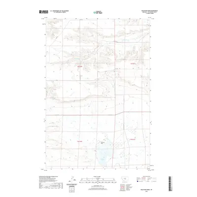 2020 Hailstone Basin2020 Print · USGSStillwater County at the start of the 2020s shows a landscape defined by ranching roads and water basins. Researchers can trace rural property access and drainage patterns along Painted Robe Cr, Hailstone Lake, and Kunesh Rd.
 - 2020 Map of O'Brien Hill, 2020 Print
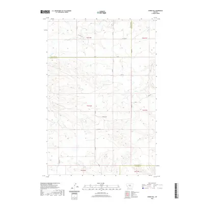 2020 O'Brien Hill2020 Print · USGSWheatland and Golden Valley counties meet in this 2020 survey of the Montana high plains near the Stillwater border. Researchers can trace the rural road network and drainage systems around O'Brien Hill, following paths like Windy Ridge Trl and Rock Cr.
 - 2020 Map of Mount Sinai, 2020 Print
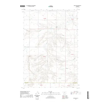 2020 Mount Sinai2020 Print · USGSThe Montana high plains at the Stillwater and Golden Valley county line are documented here in the early twenty-first century. Genealogists and local historians can trace the network of family-named routes like Sherod Rd and Jansen Rd near landmarks such as Mt Sinai and Stockade Gulch.
 - 2020 Map of Locomotive Butte SE, 2020 Print
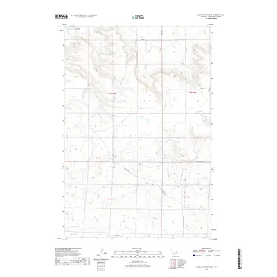 2020 Locomotive Butte SE2020 Print · USGSStillwater County ranching country is documented here in the early twenty-first century, showing a landscape defined by deep coulees. Researchers can trace land tracts and access roads like Hines Ranch Rd, Big Coulee Rd, and the Three Cross Ranch Airport.
 - 2020 Map of Locomotive Butte SW, 2020 Print
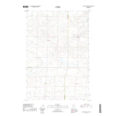 2020 Locomotive Butte SW2020 Print · USGSSweet Grass County and its neighboring Stillwater and Golden Valley borders are mapped here in the modern era of Montana ranching. Genealogists and local historians can trace family land ties along Hines Ranch RD and the drainages of Sixshooter Cr and Knob Hill.
 - 2020 Map of Eagle Point, 2020 Print
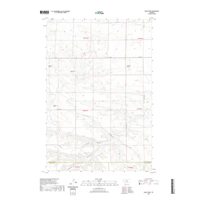 2020 Eagle Point2020 Print · USGSThe Stillwater and Golden Valley county line is surveyed here in the late twenty-teens, revealing a landscape shaped by high buttes and seasonal coulees. Researchers can trace rural routes and drainage patterns along Big Coulee Cr, Haystack Butte, and Eagle Point.
 - 2020 Map of Locomotive Butte, 2020 Print
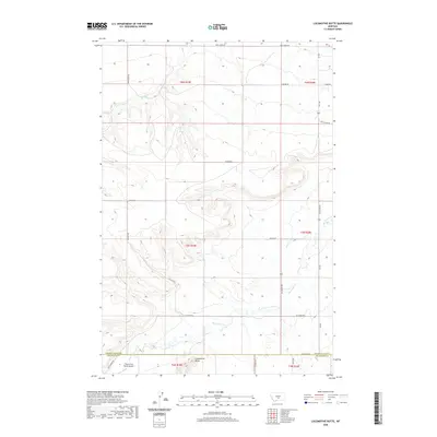 2020 Locomotive Butte2020 Print · USGSStillwater County ranching country is documented here in the early twenty-first century as it straddles the Golden Valley line. Map collectors and local researchers can trace the drainage of Big Coulee Creek and locate the Three Cross Ranch Airport.
 - 2020 Map of Hailstone Basin SE, 2020 Print
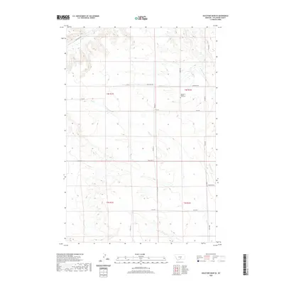 2020 Hailstone Basin SE2020 Print · USGSStillwater County ranching country is mapped here in the modern era, showing a landscape defined by intermittent creeks and section-line roads. Genealogists can locate the Assumption Catholic Church Cem and trace family-named routes like Mosdal Rd and Arnold Rd.
 - 2020 Map of Laurel, 2020 Print
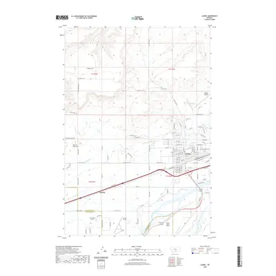 2020 Laurel2020 Print · USGSLaurel and the river valleys of Yellowstone County are captured in this recent survey during a period of sustained growth. Researchers can trace the town's expansion toward Spurling and identify local landmarks like the Laurel Cem and the extensive Big Ditch irrigation system.
 - 2020 Map of Montaqua, 2020 Print
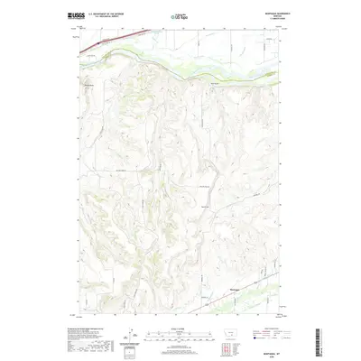 2020 Montaqua2020 Print · USGSCarbon County's agricultural and river landscape is captured here in recent years, spanning the divide between the high terrain and the river valley. Researchers can trace irrigation history and local routes like Dutton Canal, Rock Creek, and the settlement of Montaqua.
 - 2020 Map of Rock Spring, 2020 Print
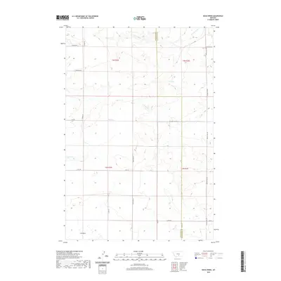 2020 Rock Spring2020 Print · USGSThe rural borderlands of Yellowstone and Stillwater Counties are captured here in the contemporary era. Researchers can trace land ties and water rights through the locations of Rock Spring, Mud Spring, and the extensive Lake Basin.
 - 2020 Map of Silesia, 2020 Print
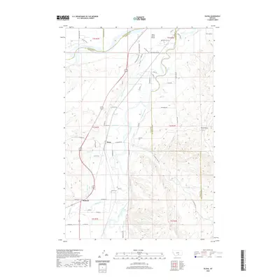 2020 Silesia2020 Print · USGSThe Clark Fork valley of south-central Montana comes into focus here, defined by the irrigation network that transformed the prairie. Genealogists and historians can trace family-named sites like Howell Grave and infrastructure like the Big Ditch and Edgar Canal.
 - 2020 Map of Molt, 2020 Print
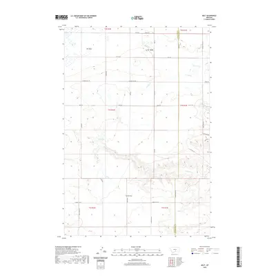 2020 Molt2020 Print · USGSMolt and the high-plateau boundary between Stillwater and Yellowstone counties are documented here in the early twenty-first century. Researchers can trace rural landmarks like Coombs Flat, Indian Spring, and the historic path of Buffalo Trail Rd.
 - 2020 Map of Park City, 2020 Print
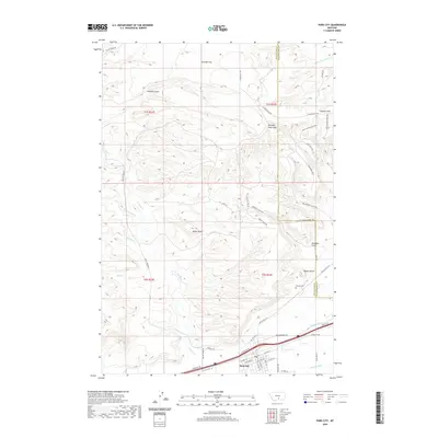 2020 Park City2020 Print · USGSThe Yellowstone River valley and the town of Park City are documented here in the early twenty-first century. Researchers can trace historical irrigation routes like the Italian Ditch or locate family markers at Pioneer Cem and Miller Butte.
 - 2020 Map of Beehive, 2020 Print
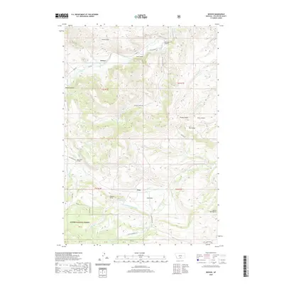 2020 Beehive2020 Print · USGSStillwater County settlement and high-country irrigation are captured here in the years following the millennium. Genealogists and historians can trace the roads around Dean and Beehive, locating landmarks like the Dale Creek Bridge and Nye Cemetery Rd.
 - 2020 Map of Lindemulder Hill, 2020 Print
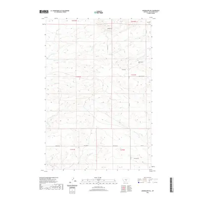 2020 Lindemulder Hill2020 Print · USGSStillwater County's high-country terrain is captured here in the early twenty-first century, centered on the prominent rise of Lindemulder Hill. Genealogists and local historians can trace the paths of Stagecoach Rd and Mountain View Rd across The Divide.
 - 2020 Map of Meyer Mountain, 2020 Print
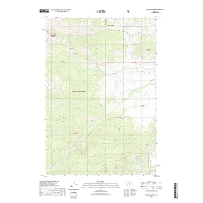 2020 Meyer Mountain2020 Print · USGSThe high country of Stillwater County is mapped here during the recent decade, showing the meeting of two national forests. Trace the alpine drainages of the W Fork Stillwater River and find landmarks like Limestone Butte and Quaker Spring.
 - 2020 Map of Little Park Mountain, 2020 Print
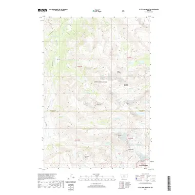 2020 Little Park Mountain2020 Print · USGSThe Beartooth Mountains of Park County are shown here in the late twenty-first century, spanning the border of two national forests. Trace high-altitude features like Wolf Glacier, Iceberg Peak, and the alpine waters of Grasshopper Lakes.
 - 2020 Map of Fishtail, 2020 Print
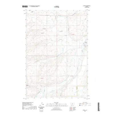 2020 Fishtail2020 Print · USGSThe foothills of southern Montana come alive in this recent survey of the area surrounding Fishtail. Researchers can trace the sophisticated irrigation networks of Magee Ditch and Phillips Ditch alongside landmarks like Nellies Twin Buttes.
 - 2020 Map of Roscoe NW, 2020 Print
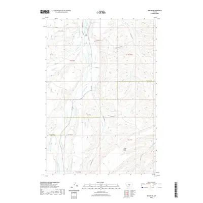 2020 Roscoe NW2020 Print · USGSThe Stillwater and Carbon County line comes alive in the early 21st century through an intricate web of historic irrigation works. Trace local engineering and family history along the Smith Bridge, Rosebud Cemetery Rd, and the Tuttle Luther Ditch.
 - 2020 Map of Stephens Hill, 2020 Print
 2020 Stephens Hill2020 Print · USGSSweet Grass and Stillwater counties at the start of the 2020s are defined by high-plains drainages and remote ranch roads. Trace the winding path of W White Beaver Cr or locate family-named routes like Reed Point Rd and Svensen Rd.
 - 2020 Map of Wildcat Draw, 2020 Print
 2020 Wildcat Draw2020 Print · USGSThe high backcountry of Sweet Grass and Stillwater counties is captured here in the years following the turn of the century. Researchers can locate remote water sources like September Morn Spring and trace the deep drainages of Beartrap Draw and Derby Gulch.
 - 2020 Map of Rapelje, 2020 Print
 2020 Rapelje2020 Print · USGSThe community of Rapelje and the Lake Basin are captured in this contemporary survey of Stillwater County. Genealogists can locate Rapelje Cem while researchers trace old routes like Stagecoach Rd and family-named landmarks such as Jones Hill.
 - 2020 Map of Wheat Basin, 2020 Print
 2020 Wheat Basin2020 Print · USGSThe high Montana plains of Wheat Basin come into focus in this recent survey of Stillwater County. Researchers can trace the drainage patterns of Big Lake and Halfbreed Lake alongside rural landmarks like Rattlesnake Ridge and Wheat Basin.
 - 2020 Map of Cooney Reservoir, 2020 Print
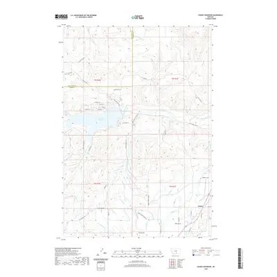 2020 Cooney Reservoir2020 Print · USGSThe border of Stillwater and Carbon Counties comes alive in this contemporary map of the Cooney Reservoir region. Genealogists and researchers can trace intricate irrigation networks like Korpela Ditch and find local landmarks such as Bangart Field and Selmes.
Showing maps 1-25 of 110
Top cities of Stillwater County
Frequently asked questions
- What are the different types of historical maps available for Stillwater County?
- What is the oldest map of Stillwater County?
- Where can I purchase historical maps of Stillwater County for my home or office?
- Where can I download high-res historical maps of Stillwater County?
- Are there historical topographic maps available for Stillwater County?
- Is there historical aerial imagery available for Stillwater County?
- Where are historical maps of Stillwater County sourced from?