2020s Maps of Wheatland County, Montana
Explore 82 historic maps of Wheatland County from the 2020s. These maps offer a rare glimpse into what life looked like during the 2020s — showing old roads, neighborhoods, homes, and landmarks that have changed or disappeared over time.
Whether you're researching your family's past, planning a metal detecting trip, or studying how Wheatland County's landscape evolved across the 2020s, these high-resolution maps are a powerful tool for exploring the history of this region.
- Focus on a specific era: All maps on this page are from the 2020s, giving you a focused view of this time period.
- See what’s changed: Compare century-old streets, trails, and buildings to today's modern landscape using overlays and satellite layers.
- Research with precision: Use these maps for genealogy, historical research, land use analysis, or educational projects.
- View, download, or print: Maps are fully viewable online in high resolution, and can be downloaded or printed for your own records.
Start exploring Wheatland County's history through authentic maps from the 2020s. This is your window into the past.
Wheatland County, MT maps
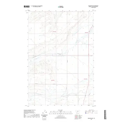
(82)- 2020 Map of Twodot NW, 2020 Print
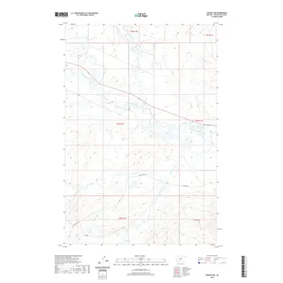 2020 Twodot NW2020 Print · USGSCovers Wheatland County, including United States, Montana, and other nearby areas
 - 2020 Map of Ten O'Clock Gate, 2020 Print
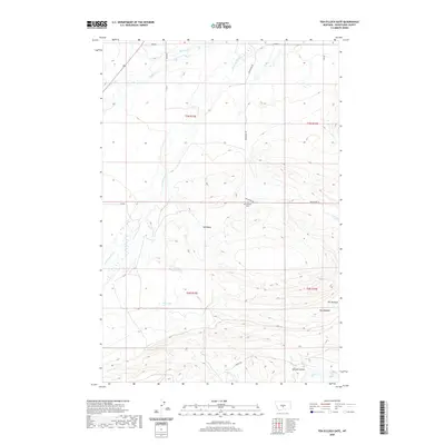 2020 Ten O'Clock Gate2020 Print · USGSCovers Wheatland County, including United States, Montana, and other nearby areas
 - 2020 Map of O'Brien Hill, 2020 Print
 2020 O'Brien Hill2020 Print · USGSCovers Wheatland County, including Stillwater County, Golden Valley County, and other nearby areas
 - 2020 Map of Oxford, 2020 Print
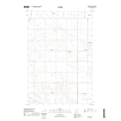
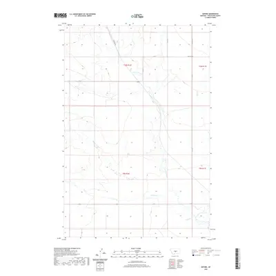 2020 Oxford2020 Print · USGSCovers Wheatland County, including United States, Montana, and other nearby areas
 - 2020 Map of Hedgesville, 2020 Print
 2020 Hedgesville2020 Print · USGSCovers Wheatland County, including Hedgesville, United States, and other nearby areas
 - 2020 Map of Lebo Lake, 2020 Print
 2020 Lebo Lake2020 Print · USGSCovers Wheatland County, including United States, Montana, and other nearby areas
 - 2020 Map of Ethels Coulee, 2020 Print
 2020 Ethels Coulee2020 Print · USGSCovers Wheatland County, including Winnecook, United States, and other nearby areas
 - 2020 Map of Haymaker Ranch SW, 2020 Print
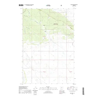
 2020 Haymaker Ranch SW2020 Print · USGSCovers Wheatland County, including United States, Montana, and other nearby areas
 - 2020 Map of Mead Creek, 2020 Print
 2020 Mead Creek2020 Print · USGSCovers Wheatland County, including Judith Basin County, United States, and other nearby areas
 - 2020 Map of Hopley Creek North, 2020 Print
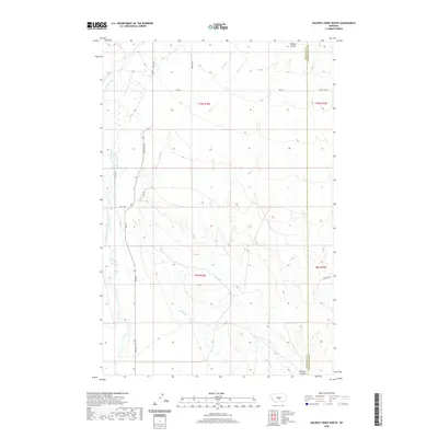
 2020 Hopley Creek North2020 Print · USGSCovers Wheatland County, including United States, Montana, and other nearby areas
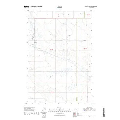
 - 2020 Map of Halbert Creek North, 2020 Print
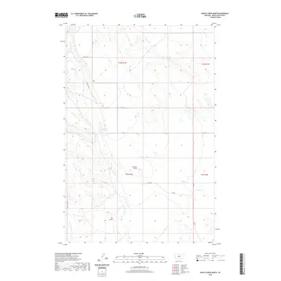
 2020 Halbert Creek North2020 Print · USGSCovers Wheatland County, including Golden Valley County, United States, and other nearby areas
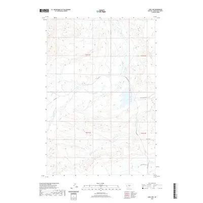
 - 2020 Map of Jim Creek, 2020 Print
 2020 Jim Creek2020 Print · USGSCovers Wheatland County, including Sweet Grass County, Golden Valley County, and other nearby areas
 - 2020 Map of Harlowton, 2020 Print
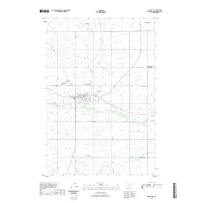 2020 Harlowton2020 Print · USGSCovers Wheatland County, including Harlowton, Springwater Hutterite Colony, and other nearby areas
 - 2020 Map of Halbert Creek South, 2020 Print
 2020 Halbert Creek South2020 Print · USGSCovers Wheatland County, including Golden Valley County, United States, and other nearby areas
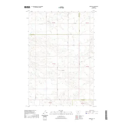
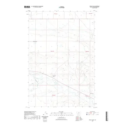
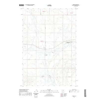
 - 2020 Map of Progress, 2020 Print
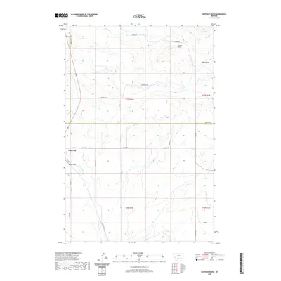
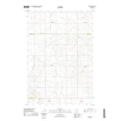 2020 Progress2020 Print · USGSCovers Wheatland County, including Sweet Grass County, Golden Valley County, and other nearby areas
 - 2020 Map of Martin Coulee, 2020 Print
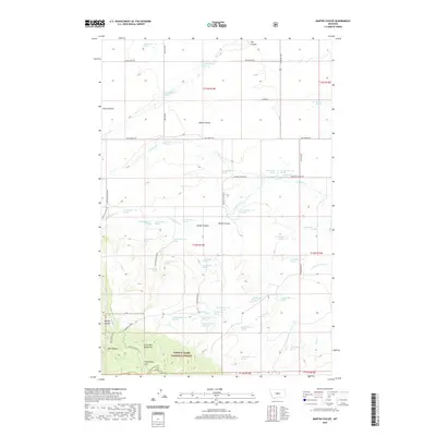 2020 Martin Coulee2020 Print · USGSCovers Wheatland County, including Judith Basin County, United States, and other nearby areas
 - 2020 Map of Harlowton SW, 2020 Print
 2020 Harlowton SW2020 Print · USGSCovers Wheatland County, including United States, Montana, and other nearby areas
 - 2020 Map of Judith Gap, 2020 Print
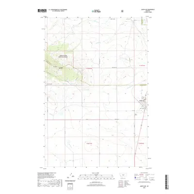 2020 Judith Gap2020 Print · USGSCovers Wheatland County, including Judith Gap, Fergus County, and other nearby areas
 - 2020 Map of Haymaker Ranch, 2020 Print
 2020 Haymaker Ranch2020 Print · USGSCovers Wheatland County, including United States, Montana, and other nearby areas
 - 2020 Map of Twodot, 2020 Print
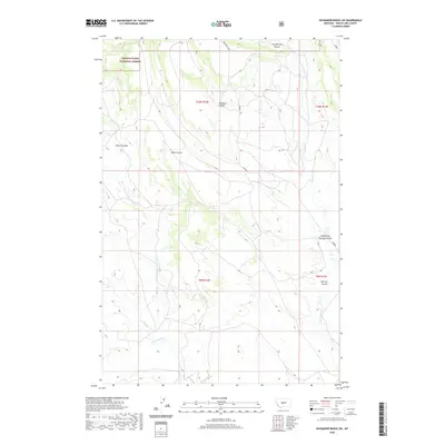
 2020 Twodot2020 Print · USGSCovers Wheatland County, including Duncan Ranch Hutterite Colony, Two Dot, and other nearby areas
 - 2020 Map of Daisy Peak, 2020 Print
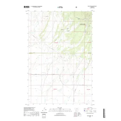
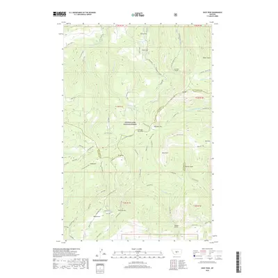 2020 Daisy Peak2020 Print · USGSCovers Wheatland County, including Judith Basin County, Meagher County, and other nearby areas
 - 2020 Map of Gougley Creek, 2020 Print
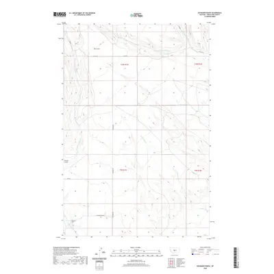
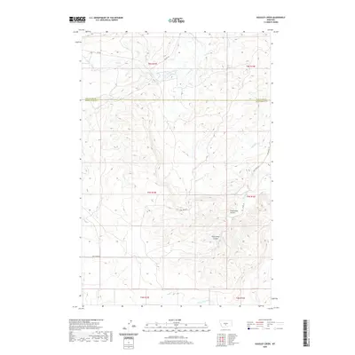 2020 Gougley Creek2020 Print · USGSCovers Wheatland County, including Sweet Grass County, United States, and other nearby areas
 - 2020 Map of Elephant Rocks, 2020 Print
 2020 Elephant Rocks2020 Print · USGSCovers Wheatland County, including Judith Gap, Fergus County, and other nearby areas
 - 2020 Map of Hopley Creek South, 2020 Print
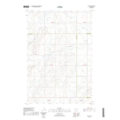
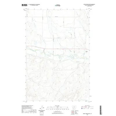 2020 Hopley Creek South2020 Print · USGSCovers Wheatland County, including United States, Montana, and other nearby areas
 - 2020 Map of Yaple Bench, 2020 Print
 2020 Yaple Bench2020 Print · USGSCovers Wheatland County, including Fergus County, United States, and other nearby areas
Showing maps 1-25 of 82
Top cities of Wheatland County
Frequently asked questions
- What are the different types of historical maps available for Wheatland County?
- What is the oldest map of Wheatland County?
- Where can I purchase historical maps of Wheatland County for my home or office?
- Where can I download high-res historical maps of Wheatland County?
- Are there historical topographic maps available for Wheatland County?
- Is there historical aerial imagery available for Wheatland County?
- Where are historical maps of Wheatland County sourced from?