
Historical Maps of Towner County, North Dakota
What stories do these 49 old maps tell about Towner County's past? From 1953 to present day, these maps reveal the evolution of streets, neighborhoods, iconic landmarks, and natural features in stunning high-res detail. Whether you're a history enthusiast, genealogist, or professional in education, environmental work, or architecture, these maps are perfect for exploration, research, and discovery.
Discover Towner County's history through maps:
- Trace Towner County's growth: Explore earlier and latest maps and editions to uncover how the region changed over time.
- Examine technical details: Each map includes its creators, publishers, scale, dimensions, and full source information.
- Layer maps with modern tools & imagery: Compare historical maps to modern-day with high-resolution satellite imagery and detailed LiDAR layers.
- Sourced from trusted archives: Carefully preserved and digitized by institutions like the United Stated Geological Survey and the US Library of Congress.
- Access in any format: View and explore in high resolution, download for offline use, or order a museum-quality print for yourself or a loved one.
Begin your journey into Towner County's history with these remarkable must-see maps.
Towner County, ND maps
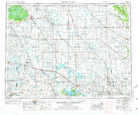
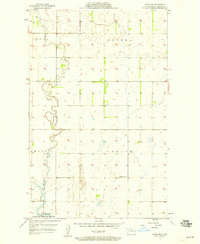
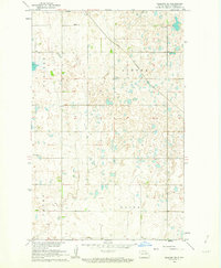
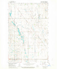
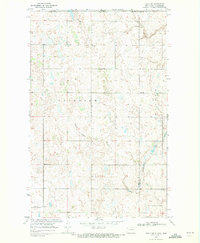
(49)- 1953 Map of Devils Lake, 1968 Print
 1953 Devils Lake1968 Print · USGSCovers Towner County, including Devils Lake, Rugby, and other nearby areas
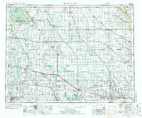
 - 1953 Map of Devils Lake, 1974 Print
 1953 Devils Lake1974 Print · USGSCovers Towner County, including Devils Lake, Rugby, and other nearby areas
 - 1953 Map of Devils Lake, 1986 Print
 1953 Devils Lake1986 Print · USGSCovers Towner County, including Devils Lake, Rugby, and other nearby areas
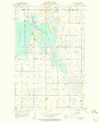
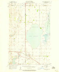
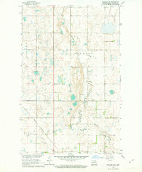
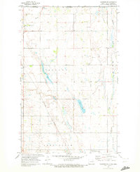
 - 1956 Map of Devils Lake
 1956 Devils Lake1956 Print · USGSCovers Towner County, including Devils Lake, Rugby, and other nearby areas
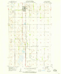
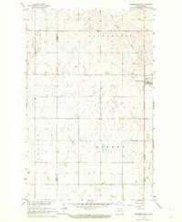
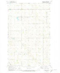
 - 1957 Map of Cando SE, 1958 Print
 1957 Cando SE1958 Print · USGSCovers Towner County, including Ramsey County, United States, and other nearby areas
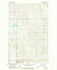
 - 1957 Map of Cando, 1958 Print
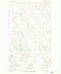
 1957 Cando1958 Print · USGSCovers Towner County, including Cando, Maza, and other nearby areas
 - 1957 Map of Cando NE, 1958 Print
 1957 Cando NE1958 Print · USGSCovers Towner County, including United States, North Dakota, and other nearby areas
 - 1957 Map of Churchs Ferry, 1958 Print
 1957 Churchs Ferry1958 Print · USGSCovers Towner County, including Churchs Ferry, Ramsey County, and other nearby areas
 - 1957 Map of Webster, 1958 Print
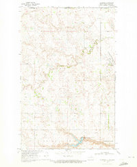
 1957 Webster1958 Print · USGSCovers Towner County, including Webster, Garske, and other nearby areas
 - 1957 Map of Cando SE, 1984 Print
 1957 Cando SE1984 Print · USGSCovers Towner County, including Ramsey County, United States, and other nearby areas
 - 1962 Map of Egeland SE, 1963 Print
 1962 Egeland SE1963 Print · USGSCovers Towner County, including Egeland, United States, and other nearby areas
 - 1962 Map of Egeland SW, 1963 Print
 1962 Egeland SW1963 Print · USGSCovers Towner County, including United States, North Dakota, and other nearby areas
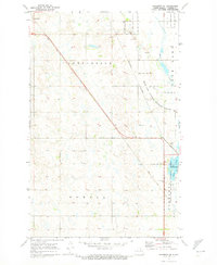
 - 1962 Map of Starkweather, 1964 Print
 1962 Starkweather1964 Print · USGSCovers Towner County, including Starkweather, Ramsey County, and other nearby areas
 - 1962 Map of Egeland, 1964 Print
 1962 Egeland1964 Print · USGSCovers Towner County, including Egeland, Cavalier County, and other nearby areas
 - 1962 Map of Snyder Lake, 1964 Print
 1962 Snyder Lake1964 Print · USGSCovers Towner County, including Crocus, Arndt, and other nearby areas
 - 1969 Map of Hansboro NE, 1972 Print
 1969 Hansboro NE1972 Print · USGSCovers Towner County, including Hansboro, Cartwright – Roblin Municipality, and other nearby areas
 - 1969 Map of Rock Lake NE, 1972 Print
 1969 Rock Lake NE1972 Print · USGSCovers Towner County, including Sarles, Municipality of Louise, and other nearby areas
 - 1969 Map of Hansboro, 1972 Print
 1969 Hansboro1972 Print · USGSCovers Towner County, including Hansboro, Cartwright – Roblin Municipality, and other nearby areas
 - 1969 Map of Rock Lake NW, 1972 Print
 1969 Rock Lake NW1972 Print · USGSCovers Towner County, including Cartwright – Roblin Municipality, United States, and other nearby areas
 - 1969 Map of Rolla NE, 1972 Print
 1969 Rolla NE1972 Print · USGSCovers Towner County, including Rolette County, Municipality of Killarney-Turtle Mountain, and other nearby areas
 - 1970 Map of Hansboro SW, 1973 Print
 1970 Hansboro SW1973 Print · USGSCovers Towner County, including United States, North Dakota, and other nearby areas
 - 1970 Map of Hansboro SE, 1973 Print
 1970 Hansboro SE1973 Print · USGSCovers Towner County, including Amourdale, Rocklake, and other nearby areas
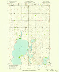
 - 1970 Map of Rock Lake, 1973 Print
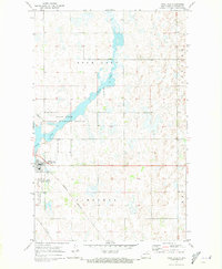 1970 Rock Lake1973 Print · USGSCovers Towner County, including Rock Lake, Rocklake, and other nearby areas
 - 1970 Map of Rolla, 1973 Print
 1970 Rolla1973 Print · USGSCovers Towner County, including Rolla, Rolette County, and other nearby areas
 - 1970 Map of Rock Lake SE, 1973 Print
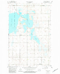
 1970 Rock Lake SE1973 Print · USGSCovers Towner County, including Cavalier County, United States, and other nearby areas
Showing maps 1-25 of 49
Top cities in Towner County
- Cando historical maps
- Bisbee historical maps
- Crocus historical maps
- Egeland historical maps
- Maza historical maps
- Perth historical maps
See more
Frequently asked questions
- What are the different types of historical maps available for Towner County?
- What is the oldest map of Towner County?
- Where can I purchase historical maps of Towner County for my home or office?
- Where can I download high-res historical maps of Towner County?
- Are there historical topographic maps available for Towner County?
- Is there historical aerial imagery available for Towner County?
- Where are historical maps of Towner County sourced from?