2010s Maps of Banner County, Nebraska
Explore 63 historic maps of Banner County from the 2010s. These maps offer a rare glimpse into what life looked like during the 2010s — showing old roads, neighborhoods, homes, and landmarks that have changed or disappeared over time.
Whether you're researching your family's past, planning a metal detecting trip, or studying how Banner County's landscape evolved across the 2010s, these high-resolution maps are a powerful tool for exploring the history of this region.
- Focus on a specific era: All maps on this page are from the 2010s, giving you a focused view of this time period.
- See what’s changed: Compare century-old streets, trails, and buildings to today's modern landscape using overlays and satellite layers.
- Research with precision: Use these maps for genealogy, historical research, land use analysis, or educational projects.
- View, download, or print: Maps are fully viewable online in high resolution, and can be downloaded or printed for your own records.
Start exploring Banner County's history through authentic maps from the 2010s. This is your window into the past.
Banner County, NE maps
(63)- 2011 Map of Singleton Ranch, 2011 Print
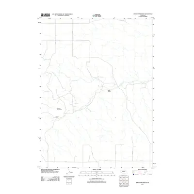 2011 Singleton Ranch2011 Print · USGSWestern Nebraska ranching life in the early twenty-first century is centered on the wide drainages and section-line roads of Cheyenne County. Researchers can trace land management and property lines around Singleton Ranch, Singleton Dam Number 1, and the winding Lawrence Fork.
 - 2011 Map of Lawrence Fork, 2011 Print
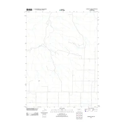 2011 Lawrence Fork2011 Print · USGSCheyenne County ranchlands and early homesteads are documented in this 2011 survey of the Nebraska plains. Genealogists and local historians can locate family burial sites like Bethel Cemetery and Swedish Cemetery, as well as the historic Singleton Ranch.
 - 2011 Map of Murray Lake NE, 2011 Print
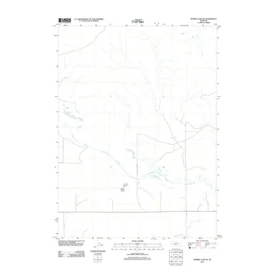 2011 Murray Lake NE2011 Print · USGSScotts Bluff County at the start of the 2010s remains a landscape of wide-open ranch land and vital water management. Researchers can trace rural property access via Grandview Ranch Rd and locate landmarks like the Scrivens Diversion Dam.
 - 2011 Map of Wright Gap, 2011 Print
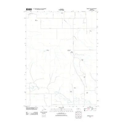 2011 Wright Gap2011 Print · USGSScotts Bluff County at the start of the 2010s reveals a high-plains landscape shaped by cattle ranching and essential water infrastructure. Researchers can locate family landmarks like the Creighton Cemetery and Corr Airport, or trace the paths of the Fort Laramie Canal and Gering Canal.
 - 2011 Map of Murray Lake SW, 2011 Print
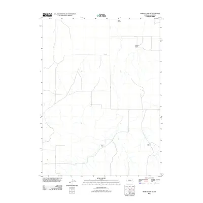 2011 Murray Lake SW2011 Print · USGSBanner County ranching country is documented here in the early 21st century, showing the remote agricultural landscape of the Nebraska panhandle. Genealogists and local historians can trace family landholdings like Wynne Ranch, Patton Ranch, and the Anderson Landing Strip.
 - 2011 Map of Gabe Rock, 2011 Print
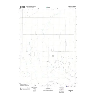 2011 Gabe Rock2011 Print · USGSBanner County ranch lands and the Nebraska Panhandle landscape are documented here during the early 2010s. Local history researchers can locate the Gabe Rock Cemetery and trace the family operations at Miles Ranch along the banks of Willow Creek.
 - 2011 Map of Wildcat Mountain, 2011 Print
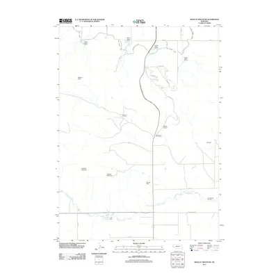 2011 Wildcat Mountain2011 Print · USGSScotts Bluff County at the start of the 2010s shows a landscape of high ridges and critical water infrastructure. Trace the geography of the Henderson Oil Field, the winding Fort Laramie Canal, and landmarks like Funnel Rock.
 - 2011 Map of Bennett Reservoir NW, 2011 Print
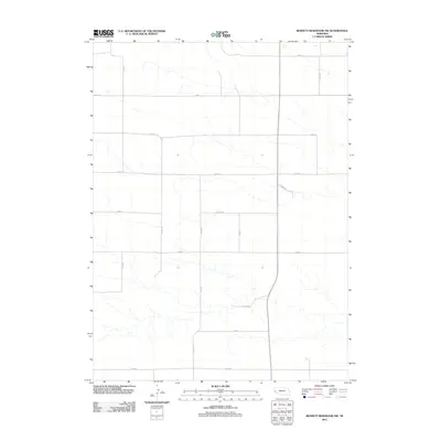 2011 Bennett Reservoir NW2011 Print · USGSBanner County, Nebraska, appears here in the early twenty-first century as a wide-open landscape of ranching and remote county lines. Researchers can trace the modern rural grid through routes like Road 14, Co Rd 110, and Co Rd 35 as they span the High Plains.
 - 2011 Map of Hackberry Creek, 2011 Print
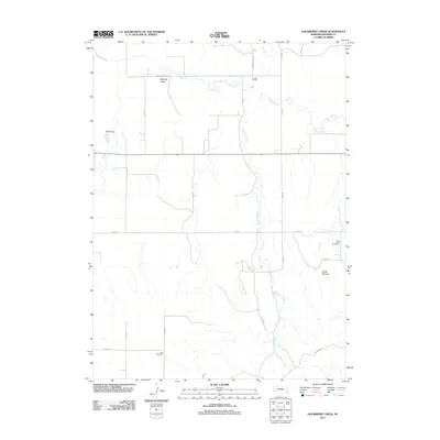 2011 Hackberry Creek2011 Print · USGSBanner County ranchlands in the Nebraska panhandle are captured here during the early twenty-first century. Genealogists and local historians can locate rural burial sites like Kirk Cemetery and Chalk Creek Cemetery or trace the drainage of Hackberry Creek.
 - 2011 Map of McGrew, 2011 Print
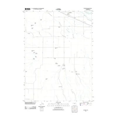 2011 McGrew2011 Print · USGSIn the valley of the North Platte River during the early 21st century, this map shows a region defined by its irrigation works and distinctive bluffs. Genealogists and local historians can locate High Butte Cemetery and the village of McGrew, or trace geologic landmarks like Castle Rock and Steamboat Rock.
 - 2011 Map of Harrisburg, 2011 Print
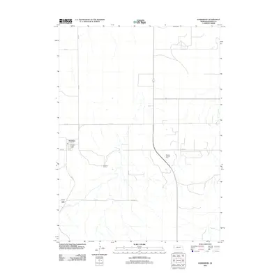 2011 Harrisburg2011 Print · USGSBanner County’s seat of government and its surrounding ranchlands are shown here in the early twenty-first century. Researchers can trace local landmarks like Lovers Leap Butte, find family roots at the Harrisburg Cemetery, or locate the Harrisburg Post Office.
 - 2011 Map of Murray Lake, 2011 Print
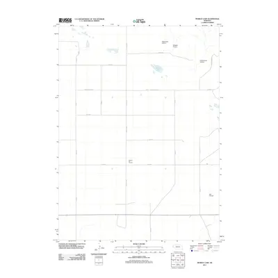 2011 Murray Lake2011 Print · USGSScotts Bluff County at the turn of the decade reveals a landscape of high-plains canyons and quiet rural landmarks. Genealogists and local historians can locate Pleasant Hill Cemetery and trace the paths through Shoemaker Canyon and Bull Canyon.
 - 2011 Map of South Bayard, 2011 Print
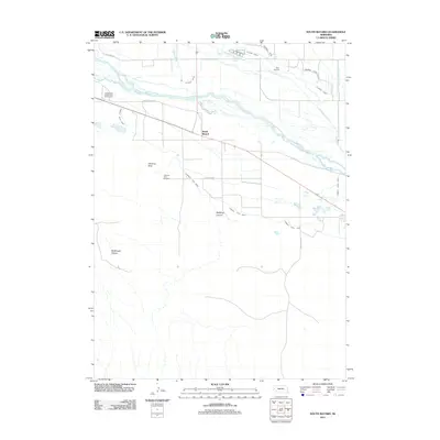 2011 South Bayard2011 Print · USGSThe Nebraska panhandle south of Bayard is captured here in the early twenty-first century, centered on the iconic silhouette of Chimney Rock. Researchers can trace the path of the Oregon Trail Rd, locate the Chimney Rock Cemetery, and study the extensive irrigation network of the Alliance Canal.
 - 2011 Map of Redington, 2011 Print
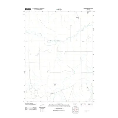 2011 Redington2011 Print · USGSRedington and the surrounding Morrill County cattle country are documented here in the early twenty-first century. Local historians can trace family-named landmarks like the Schuler-Olsen Landing Strip and Langs Point or follow the waters of Pumpkin Creek.
 - 2011 Map of Indian Springs, 2011 Print
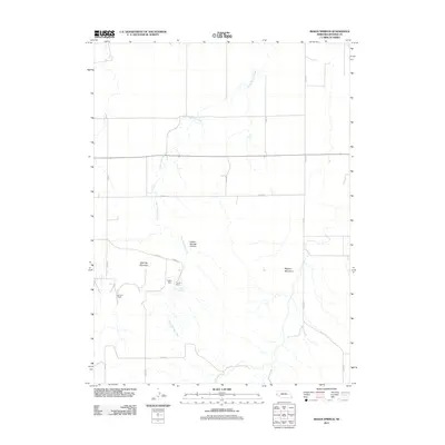 2011 Indian Springs2011 Print · USGSIn the Nebraska high plains during the early 2010s, this Banner County landscape reveals a world of remote cattle operations and creek drainage. Family researchers can trace the locations of the Van Pelt Ranch and Fayden Ranch near Indian Springs Canyon.
 - 2011 Map of Head of Rocky Hollow, 2011 Print
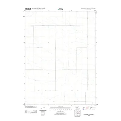 2011 Head of Rocky Hollow2011 Print · USGSBanner County, Nebraska, is shown in the early twenty-first century as a landscape of vast agricultural grids and seasonal watercourses. Researchers can trace the section-line road network along Road 14, Co Rd 10, and Co Rd 17.
 - 2011 Map of Lone Pine Butte, 2011 Print
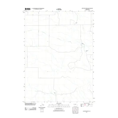 2011 Lone Pine Butte2011 Print · USGSBanner County ranching country is captured here during the early twenty-first century, showcasing the vast drainage of the Lawrence Fork. Researchers can locate specific family-named landmarks such as the Peterson Ranch and Mossburg Ranch or trace terrain toward Lone Pine Butte.
 - 2011 Map of South of Gabe Rock, 2011 Print
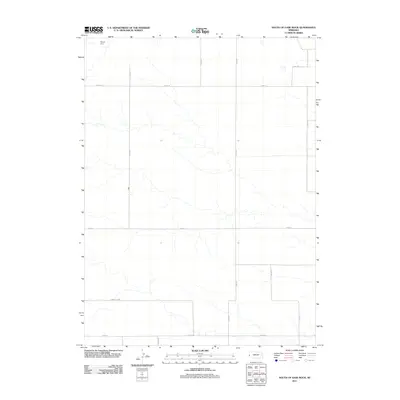 2011 South of Gabe Rock2011 Print · USGSBanner County near the Kimball border is captured here in the early twenty-first century, showcasing the vast agricultural grid of western Nebraska. Trace rural land divisions and vital water features like Brauer Dam along the stretches of Road 14 and Kimball Co Rd.
 - 2012 Map of Tremain, 2012 Print
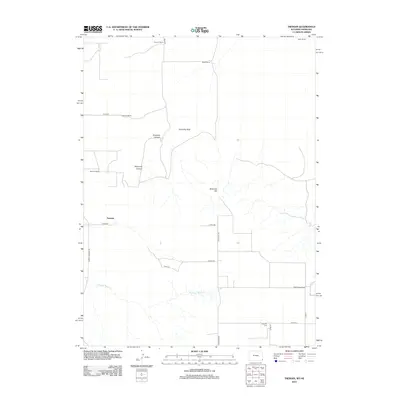 2012 Tremain2012 Print · USGSThe Wyoming-Nebraska borderlands are shown in detail during the early 2000s, reflecting a landscape shaped by high-plains ranching and rural life. Researchers can locate family landmarks like Epworth Cem, Tremain Ranch, and the winding Stinking Water Cr.
 - 2012 Map of McCompsey Pass, 2012 Print
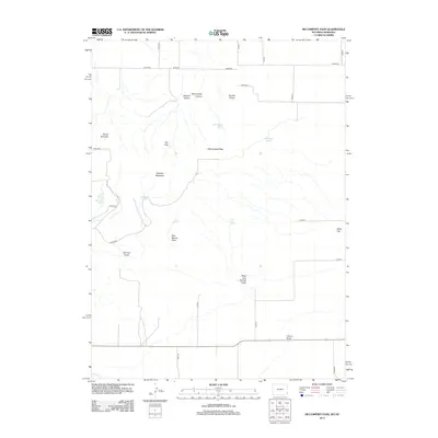 2012 McCompsey Pass2012 Print · USGSThe high plains of the Wyoming-Nebraska border come into focus in this early twenty-first-century survey of the rugged territory around McCompsey Pass. Researchers can trace essential water sources like Boxelder Spring and distinctive landmarks such as Devils Armchair and Sixtysix Mountain.
 - 2012 Map of Albin, 2012 Print
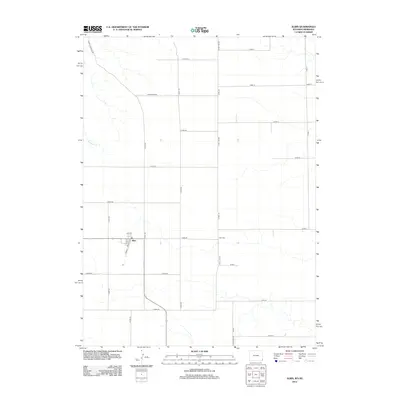 2012 Albin2012 Print · USGSSoutheast Wyoming's high plains agricultural community of Albin is captured here during the early 2000s. Researchers can trace local landmarks and property access along State Line Rd, Albin Cem, and the path of Bushnell Cr.
 - 2014 Map of Head of Rocky Hollow, 2014 Print
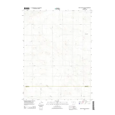 2014 Head of Rocky Hollow2014 Print · USGSBanner County and Kimball County meet in this quiet Nebraska landscape during the early 2010s. Genealogists and historians can trace the high plains road network along 17 Mile Rd and the drainage of Rocky Hollow near Co Road 6.
 - 2014 Map of Murray Lake, 2014 Print
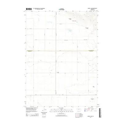 2014 Murray Lake2014 Print · USGSScotts Bluff and Banner counties are captured here in the mid-2010s, showing a high-plains landscape defined by deep canyons and ranch roads. Researchers can locate Pleasant Hill Cem and trace the rugged geography of Shoemaker Canyon and Murray Lake.
 - 2014 Map of Murray Lake SW, 2014 Print
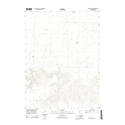 2014 Murray Lake SW2014 Print · USGSBanner County ranch land and high plains topography are captured in detail during the early 2010s. Researchers can trace the rugged drainage of Bull Canyon or the winding path of Clay Springs Draw alongside local routes like RD 15.
 - 2014 Map of Wright Gap, 2014 Print
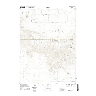 2014 Wright Gap2014 Print · USGSThe Nebraska panhandle escarpment is sharply defined here, where the high plains break into the dramatic Wildcat Hills. Genealogists and local historians can trace family-named landmarks like Creighton Cem, Corr Airport, and the prominent Castle Rock.
Showing maps 1-25 of 63
Top cities of Banner County
Frequently asked questions
- What are the different types of historical maps available for Banner County?
- What is the oldest map of Banner County?
- Where can I purchase historical maps of Banner County for my home or office?
- Where can I download high-res historical maps of Banner County?
- Are there historical topographic maps available for Banner County?
- Is there historical aerial imagery available for Banner County?
- Where are historical maps of Banner County sourced from?