Old Maps of Cherry County, Nebraska for Academic Research
Study the evolution of Cherry County with 191 high-resolution historic maps. Whether you're teaching, researching, or modeling changes in land use, these maps provide essential visual documentation of urban, environmental, and geographic change.
- Analyze long-term change: Track patterns in development, transportation, and natural features.
- Ideal for environmental or urban studies: Support academic projects with primary historical map data.
- Use in the classroom or lab: Educators and researchers rely on these maps to bring historical context to life.
These maps are a powerful tool for teaching, research, and visualizing how Cherry County has changed over the decades.
Cherry County, NE maps
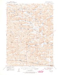
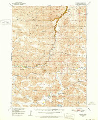
(191)- 1948 Map of Seneca, 1956 Print
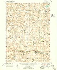 1948 Seneca1956 Print · USGSCovers Cherry County, including Seneca, Kelso, and other nearby areas3 unique versions available
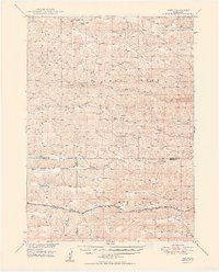
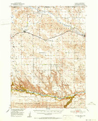
 - 1948 Map of Ashby, 1960 Print
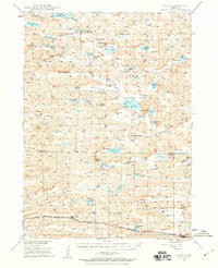 1948 Ashby1960 Print · USGSCovers Cherry County, including Hyannis, Ashby, and other nearby areas7 unique versions available
 - 1948 Map of Bingham, 1963 Print
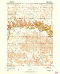
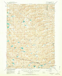 1948 Bingham1963 Print · USGSCovers Cherry County, including Bingham, Sheridan County, and other nearby areas2 unique versions available
 - 1948 Map of Mullen, 1967 Print
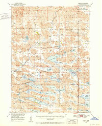
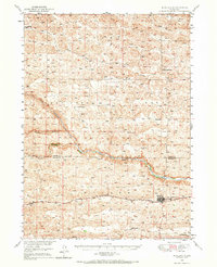 1948 Mullen1967 Print · USGSCovers Cherry County, including Mullen, Hooker County, and other nearby areas
 - 1948 Map of Seneca 4, 1974 Print
 1948 Seneca 41974 Print · USGSCovers Cherry County, including Thomas County, United States, and other nearby areas
 - 1948 Map of Spade Ranch, 1976 Print
 1948 Spade Ranch1976 Print · USGSCovers Cherry County, including Sheridan County, United States, and other nearby areas
 - 1948 Map of Whitman, 1978 Print
 1948 Whitman1978 Print · USGSCovers Cherry County, including Duluth, Whitman, and other nearby areas
 - 1949 Map of Seneca 4
 1949 Seneca 41949 Print · USGSCovers Cherry County, including Thomas County, United States, and other nearby areas
 - 1949 Map of Ashby
 1949 Ashby1949 Print · USGSCovers Cherry County, including Hyannis, Ashby, and other nearby areas3 unique versions available
 - 1949 Map of Big Falls, 1963 Print
 1949 Big Falls1963 Print · USGSCovers Cherry County, including United States, Nebraska, and other nearby areas
 - 1949 Map of Purdum, 1967 Print
 1949 Purdum1967 Print · USGSCovers Cherry County, including Purdum, Cascade, and other nearby areas
 - 1949 Map of Steverson Lake, 1969 Print
 1949 Steverson Lake1969 Print · USGSCovers Cherry County, including United States, Nebraska, and other nearby areas
 - 1949 Map of Koshopah, 1976 Print
 1949 Koshopah1976 Print · USGSCovers Cherry County, including Koshopah, Elsmere, and other nearby areas
 - 1949 Map of Turpin Lake, 1976 Print
 1949 Turpin Lake1976 Print · USGSCovers Cherry County, including United States, Nebraska, and other nearby areas
 - 1949 Map of Long Lake, 1978 Print
 1949 Long Lake1978 Print · USGSCovers Cherry County, including Hartgraves Place, United States, and other nearby areas
 - 1950 Map of Norden
 1950 Norden1950 Print · USGSCovers Cherry County, including Okreek Segment, Norden, and other nearby areas2 unique versions available
 - 1950 Map of Whitman
 1950 Whitman1950 Print · USGSCovers Cherry County, including Duluth, Whitman, and other nearby areas
 - 1950 Map of Spade Ranch
 1950 Spade Ranch1950 Print · USGSCovers Cherry County, including Sheridan County, United States, and other nearby areas2 unique versions available
 - 1950 Map of Hire
 1950 Hire1950 Print · USGSCovers Cherry County, including Weir, Hire, and other nearby areas3 unique versions available
 - 1950 Map of Bingham
 1950 Bingham1950 Print · USGSCovers Cherry County, including Bingham, Sheridan County, and other nearby areas
 - 1950 Map of Sparks, 1952 Print
 1950 Sparks1952 Print · USGSCovers Cherry County, including Thatcher, Okreek Segment, and other nearby areas3 unique versions available
 - 1950 Map of Simeon, 1952 Print
 1950 Simeon1952 Print · USGSCovers Cherry County, including Simeon, United States, and other nearby areas2 unique versions available
 - 1950 Map of Powderhorn Valley, 1952 Print
 1950 Powderhorn Valley1952 Print · USGSCovers Cherry County, including United States, Nebraska, and other nearby areas
 - 1950 Map of Kennedy, 1952 Print
 1950 Kennedy1952 Print · USGSCovers Cherry County, including Kennedy, United States, and other nearby areas2 unique versions available
 - 1950 Map of Kilgore, 1952 Print
 1950 Kilgore1952 Print · USGSCovers Cherry County, including Kilgore, Crookston, and other nearby areas2 unique versions available
Showing maps 1-25 of 191
Top cities of Cherry County
- Valentine historical maps
- Cody historical maps
- Merriman historical maps
- Kilgore historical maps
- Crookston historical maps
- Wood Lake historical maps
See more
Frequently asked questions
- What are the different types of historical maps available for Cherry County?
- What is the oldest map of Cherry County?
- Where can I purchase historical maps of Cherry County for my home or office?
- Where can I download high-res historical maps of Cherry County?
- Are there historical topographic maps available for Cherry County?
- Is there historical aerial imagery available for Cherry County?
- Where are historical maps of Cherry County sourced from?