Old Maps of Hyannis, Nebraska for Academic Research
Study the evolution of Hyannis with 29 high-resolution historic maps. Whether you're teaching, researching, or modeling changes in land use, these maps provide essential visual documentation of urban, environmental, and geographic change.
- Analyze long-term change: Track patterns in development, transportation, and natural features.
- Ideal for environmental or urban studies: Support academic projects with primary historical map data.
- Use in the classroom or lab: Educators and researchers rely on these maps to bring historical context to life.
These maps are a powerful tool for teaching, research, and visualizing how Hyannis has changed over the decades.
Hyannis, NE maps
(29)- 1948 Map of Ashby, 1960 Print
 1948 Ashby1960 Print · USGSRanching life in the Nebraska Sandhills is captured here in the late 1940s, highlighting the sprawling cattle operations and alkaline lake systems of the era. Genealogists and historians can trace family holdings like the Egan Ranch or locate the Consolidated Sch and Keller Sch along the Chicago Burlington and Quincy RR.7 unique versions available
 - 1948 Map of George Lake, 1976 Print
 1948 George Lake1976 Print · USGSHyannis and the surrounding Nebraska Sandhills are captured here just after the war, showing a landscape defined by ranching and rail. Genealogists and local historians can locate early homesteads like Miner Ranch and rural landmarks such as Locust Sch and the Chicago Burlington and Quincy railroad.
 - 1948 Map of Spring Valley, 1978 Print
 1948 Spring Valley1978 Print · USGSGrant County ranching country is captured here in the late 1940s, showing the remote settlement patterns of the Sandhills. Researchers can locate early educational landmarks like Rose Hill Sch and School No 8, alongside numerous namesake water bodies such as Winnie Lake.
 - 1949 Map of Ashby
 1949 Ashby1949 Print · USGSPost-war Nebraska ranching life and the Sandhills topography come alive in this survey of the Cherry and Grant county lines. Trace old homesteads and landmarks like the Diamond Bar Ranch, the Consolidated Sch, and Wolfenberger Lakes along the Chicago Burlington and Quincy line.3 unique versions available
 - 1950 Map of Spring Valley
 1950 Spring Valley1950 Print · USGSGrant County is a mosaic of prairie valleys and ranching outposts in this mid-century survey of the Sandhills. Trace the locations of rural schools and isolated homesteads like School No 8, Rose Hill Sch, and landmarks including Egan Lake.2 unique versions available
 - 1950 Map of George Lake
 1950 George Lake1950 Print · USGSGrant County ranching culture is on full display in this mid-century survey of the Nebraska sandhills around Hyannis. Genealogists can trace family holdings and rural landmarks like Merrihew Ranch, Locust Sch, and the isolated Lowes Camp.
 - 1954 Map of North Platte, 1968 Print
 1954 North Platte1968 Print · USGSThe Nebraska Sand Hills and the Platte River valley are captured here during a period of mid-century growth and agricultural expansion. Trace the vast irrigation network of the Sutherland Canal, locate old rural schoolhouses like Rose Hill School, and find family holdings such as Conrey Ranch.3 unique versions available
 - 1956 Map of North Platte
 1956 North Platte1956 Print · USGSThe Nebraska Sand Hills meet the high plains river valleys in the mid-1950s, a period of intensive water management and rail commerce. Genealogists and historians can trace early prairie settlements like Stapleton and Tryon, or follow the industrial corridor of the Union Pacific through North Platte.
 - 1957 Map of North Platte
 1957 North Platte1957 Print · USGSThe Nebraska Sand Hills and the Platte River valley are captured here in the mid-fifties as the ranching and irrigation economy matured. Genealogists and historians can locate family-named schoolhouses like Maire School or trace the railroad hubs at North Platte and the Fort McPherson National Cemetery.
 - 1957 Map of Valentine, 1960 Print
 1957 Valentine1960 Print · USGSNorthern Nebraska's ranching country and the vast Sand Hills are detailed here in the late fifties. Genealogists and historians can locate numerous family-named landmarks like the Dahlgren Ranch and trace the path of the Chicago and North Western railroad through Valentine.3 unique versions available
 - 1959 Map of Valentine
 1959 Valentine1959 Print · USGSThe northern Nebraska Sand Hills are captured here in the late fifties, showcasing a vast ranching landscape shaped by the Niobrara and Loup rivers. Genealogists and historians can trace rail-town development along the Chicago and North Western and locate remote outposts like Brownlee or Kennedy.
 - 1967 Map of North Platte
 1967 North Platte1967 Print · USGSThe Nebraska Sand Hills and the Platte River valley meet in the 1960s, showing a landscape shaped by water management and rail. Genealogists can trace rural school districts like the Prairie Dell School or find landmarks like the Scott Lookout Tower and Geo P Kingsley Dam.
 - 1985 Map of Arthur
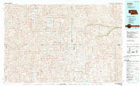 1985 Arthur1985 Print · USGSThe Nebraska Sandhills in the mid-1980s reveal a landscape of remote cattle ranches and hidden basins between Arthur and Hyannis. Genealogists and historians can trace family-named landmarks and private airfields like the Pioneer Ranch Landing Strip and Haythorn Lake.2 unique versions available
 - 1985 Map of Mullen
 1985 Mullen1985 Print · USGSSettlement in the Nebraska Sandhills followed the rail and river corridors during the mid-twentieth century. Trace the Burlington Northern line through Mullen and Hyannis, or locate family-named landmarks like James Valley and Betsy Creek.2 unique versions available
 - 1985 Map of Pratt Valley, 1986 Print
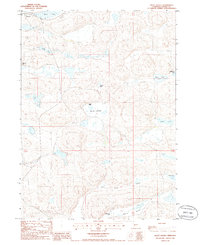 1985 Pratt Valley1986 Print · USGSThe Nebraska Sandhills come into focus in the mid-1980s, showcasing a landscape of isolated cattle ranches and prairie lakes. Researchers can locate family-named operations like Wheelock Ranch and Sheperd Ranch or trace the drainage of Pratt Lake and Winnie Valley.
 - 1986 Map of Hyannis South
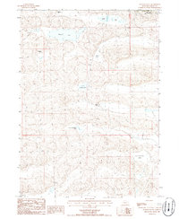 1986 Hyannis South1986 Print · USGSThe sandhills of western Nebraska in the mid-1980s are captured here, centered on the ranching life around Hyannis. Genealogists and historians can trace family land at the Paul Sweet Ranch or Minor Ranch and locate the village Cem.
 - 1989 Map of Hyannis North
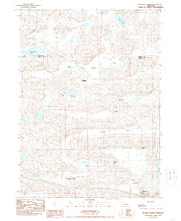 1989 Hyannis North1989 Print · USGSGrant County ranching country at the end of the 1980s reveals a landscape of isolated homesteads and Sandhills hydrology. Researchers can trace family holdings like the Anderson and Sibbit ranches or locate the Grant Co Landing Field near Hyannis.
 - 2011 Map of Hyannis South, 2011 Print
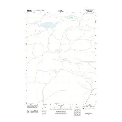 2011 Hyannis South2011 Print · USGSThe Nebraska Sandhills come into focus here in the early twenty-first century, showing the enduring legacy of Great Plains ranching. Genealogists and local historians can trace family land via the Paul Sweet Ranch, Minor Ranch, and George Lake.
 - 2011 Map of Pratt Valley, 2011 Print
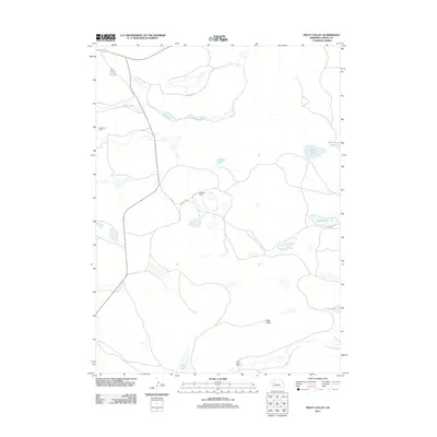 2011 Pratt Valley2011 Print · USGSGrant County ranching country is captured here in the early twenty-first century, showing the enduring layout of the Nebraska Sandhills. Researchers can trace historic property boundaries at Wheelock Ranch and Sheperd Ranch or locate water features like Scotty Lake and Pratt Lake.
 - 2011 Map of Hyannis North, 2011 Print
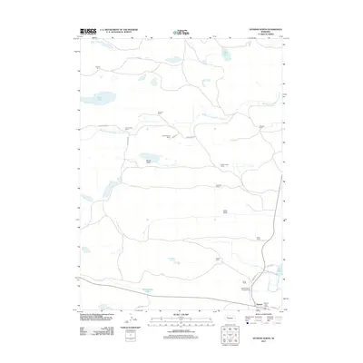 2011 Hyannis North2011 Print · USGSThe Nebraska Sandhills come into focus in this recent survey of northern Grant County, where the Middle Branch Middle Loup River winds through vast ranch lands. Genealogists and local historians can trace the footprints of family operations like J Brenneman Ranch and Davis Ranch near the village of Hyannis.
 - 2014 Map of Hyannis South, 2014 Print
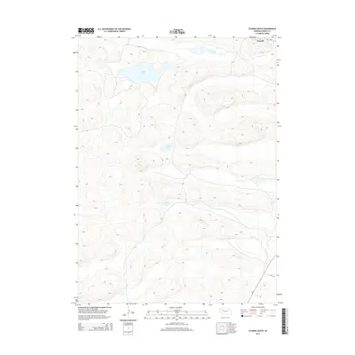 2014 Hyannis South2014 Print · USGSHyannis sits at a vital Sandhills crossroads during the early twenty-first century, surrounded by a rolling landscape of dunes and depressions. Researchers can trace the water levels of George Lake and Cricket Lake or follow the path of Lynch Rd south of town.
 - 2014 Map of Pratt Valley, 2014 Print
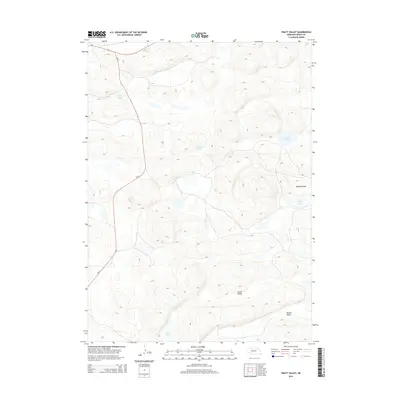 2014 Pratt Valley2014 Print · USGSThe Nebraska Sandhills in the early twenty-first century are captured here in a landscape of undulating dunes and basin waters. Genealogists and researchers can trace the natural layout of Pratt Valley, Winnie Valley, and family-named landmarks like Scotty Lake.
 - 2014 Map of Hyannis North, 2014 Print
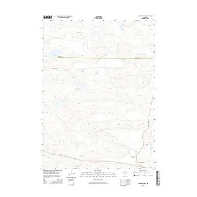 2014 Hyannis North2014 Print · USGSThe Nebraska Sandhills come into focus in the early 2010s, centered on the community of Hyannis and its surrounding ranchlands. Trace the local geography from the Middle Br Middle Loup River to family-named landmarks like Castle Lake and Lamb Valley.
 - 2017 Map of Hyannis North, 2017 Print
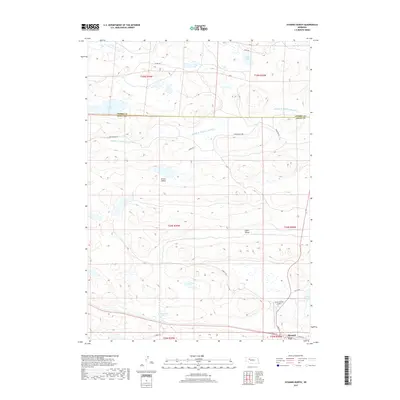 2017 Hyannis North2017 Print · USGSThe Nebraska Sandhills near Hyannis are shown here in the late twenty-teens, documenting a landscape of remote ranch roads and high-plains wetlands. Genealogists and locals can trace family-named routes like Sibbitt Rd and Brenneman Rd near Wolfenberger Lakes.
 - 2017 Map of Pratt Valley, 2017 Print
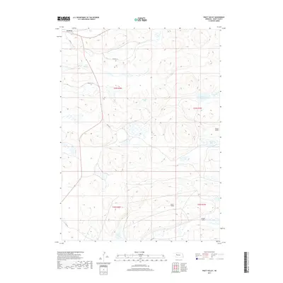 2017 Pratt Valley2017 Print · USGSHyannis and the surrounding ranchlands of Grant County are shown during the late 2010s in this detailed survey of the Nebraska Sandhills. Researchers can trace the local road network and identify numerous named water bodies like Muskrat Lake, Pratt Valley, and Beem Lake.
Showing maps 1-25 of 29
Frequently asked questions
- What are the different types of historical maps available for Hyannis?
- What is the oldest map of Hyannis?
- Where can I purchase historical maps of Hyannis for my home or office?
- Where can I download high-res historical maps of Hyannis?
- Are there historical topographic maps available for Hyannis?
- Is there historical aerial imagery available for Hyannis?
- Where are historical maps of Hyannis sourced from?