2000s (21st Century) Maps of Logan County, Nebraska
Explore 48 historic maps of Logan County from the 2000s (21st Century). These maps offer a rare glimpse into what life looked like during the 2000s — showing old roads, neighborhoods, homes, and landmarks that have changed or disappeared over time.
Whether you're researching your family's past, planning a metal detecting trip, or studying how Logan County's landscape evolved across the 2000s, these high-resolution maps are a powerful tool for exploring the history of this region.
- Focus on a specific era: All maps on this page are from the 2000s, giving you a focused view of this time period.
- See what’s changed: Compare century-old streets, trails, and buildings to today's modern landscape using overlays and satellite layers.
- Research with precision: Use these maps for genealogy, historical research, land use analysis, or educational projects.
- View, download, or print: Maps are fully viewable online in high resolution, and can be downloaded or printed for your own records.
Start exploring Logan County's history through authentic maps from the 2000s. This is your window into the past.
Logan County, NE maps
(48)- 2011 Map of Stapleton NW, 2011 Print
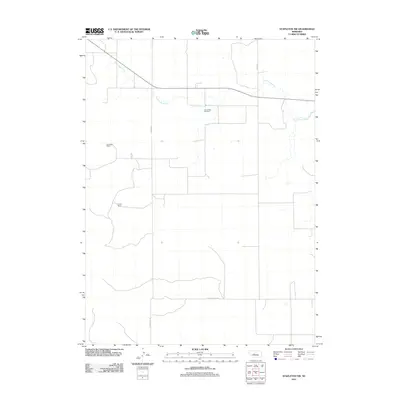 2011 Stapleton NW2011 Print · USGSLincoln County ranchlands are captured here in the early twenty-first century, showing the enduring cattle country of the Nebraska Sandhills. Genealogists and local historians can locate Loup Valley Cemetery and family-held tracts like Fowler Ranch and Rundback Ranch.
 - 2011 Map of Tarbox Lake, 2011 Print
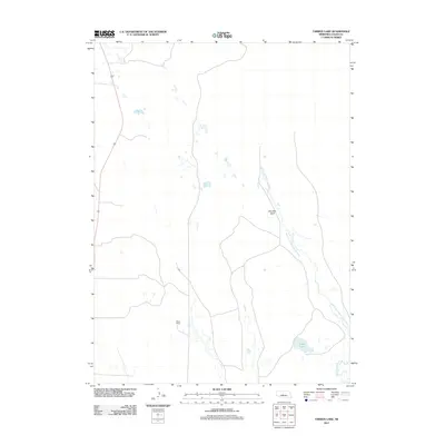 2011 Tarbox Lake2011 Print · USGSLogan County ranching country comes into focus in this early twenty-first-century survey of the Nebraska Sandhills. Researchers can trace the winding course of the South Loup River and locate local landmarks such as Miles Ranch and Shanklin Bluff.
 - 2011 Map of Happy Hollow, 2011 Print
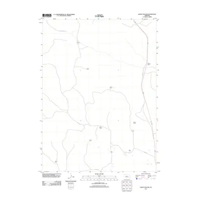 2011 Happy Hollow2011 Print · USGSLogan County ranching life is preserved here in the early twenty-first century, showing a landscape of scattered family holdings and sandy valleys. Genealogists and local historians can trace the footprints of Christian Ranch, Sturtz Ranch, and Brush Lake.
 - 2011 Map of Cody Lake NW, 2011 Print
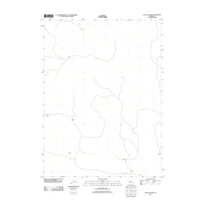 2011 Cody Lake NW2011 Print · USGSMcPherson County ranching culture is documented here during the early twenty-first century, showing the isolation and organization of the Sandhills. Researchers can trace family landholdings and rural routes like Star Ranch, Lutes Ranch, and Lutes Rd.
 - 2011 Map of Logan, 2011 Print
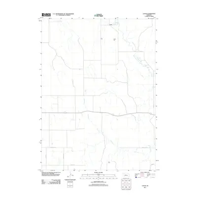 2011 Logan2011 Print · USGSThe rural landscape of Logan County is captured here in the early twenty-first century, centered on the South Loup River valley. Genealogists and local historians can trace family-named sites like Bailey Ranch and Marr Ranch or the overlook at Kings Hill.
 - 2011 Map of Cody Lake, 2011 Print
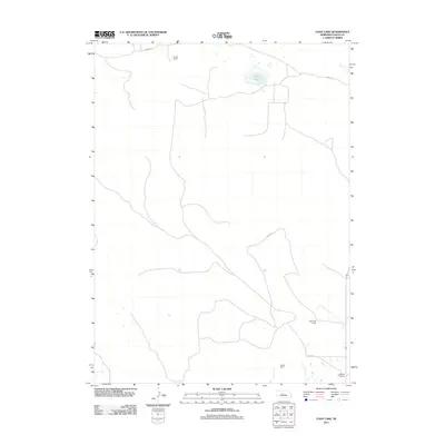 2011 Cody Lake2011 Print · USGSLogan County ranching country is captured here during the early twenty-first century, showcasing a landscape of isolated homesteads and water resources. Local historians and genealogists can trace family holdings like Lingner Ranch and Viehmeyer Ranch near the waters of Cody Lake.
 - 2011 Map of Hoagland NE, 2011 Print
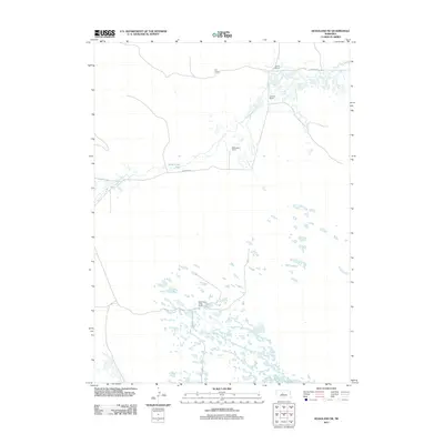 2011 Hoagland NE2011 Print · USGSLogan County ranching country at the start of the decade is defined by expansive wetlands and isolated family operations. Researchers can trace land use and homesteads like Wild Horse Creek Ranch, Schmidt Ranch, and the level terrain of Wild Horse Flats.
 - 2011 Map of Stapleton, 2011 Print
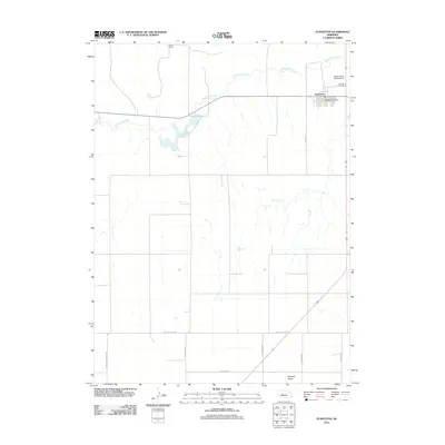 2011 Stapleton2011 Print · USGSStapleton and the Nebraska Sandhills are documented here in the early twenty-first century, showing the settlement's relationship to the river. Researchers can trace ranching boundaries at Wilcox Ranch or locate local landmarks like the Stapleton Post Office.
 - 2011 Map of Cody Lake SW, 2011 Print
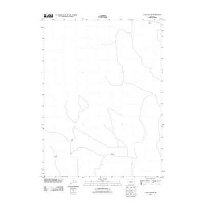 2011 Cody Lake SW2011 Print · USGSMcPherson County ranching country is captured here in the early twenty-first century, showing the remote character of the Nebraska Sandhills. Genealogists and local historians can trace family landholdings like Oliver Ranch, Jividen Ranch, and the isolated community of Lone Valley.
 - 2011 Map of Gandy, 2011 Print
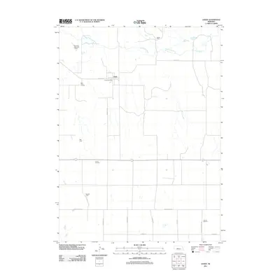 2011 Gandy2011 Print · USGSGandy and the surrounding Logan County ranchlands are documented here at the start of the 2010s. Family historians can locate several burial grounds, including Saint Johns Cemetery and McCain Cemetery, alongside local landmarks like the Gandy Post Office.
 - 2011 Map of Hoagland, 2011 Print
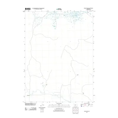 2011 Hoagland2011 Print · USGSHoagland and the Nebraska Sandhills appear here in the early twenty-first century, showing a landscape defined by ranching and the South Loup River. Researchers can trace local family landmarks such as the Stewart Ranch, Wiley Ranch, and Halstead Ranch.
 - 2011 Map of Mudd Lake, 2011 Print
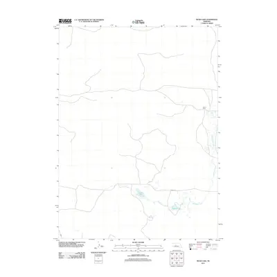 2011 Mudd Lake2011 Print · USGSLogan County, Nebraska, remains a landscape of ranching traditions and quiet hydrology in the early twenty-first century. Researchers can trace the winding course of Wild Horse Creek or locate local landmarks like Rogers Ranch and Mudd Lake.
 - 2014 Map of Happy Hollow, 2014 Print
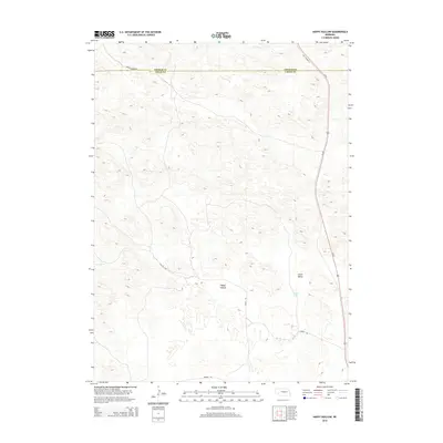 2014 Happy Hollow2014 Print · USGSThe Nebraska Sandhills on the Thomas-Logan county line appear in 2014 with their distinct network of ranch roads and valley systems. Trace the local terrain through Happy Hollow, find the waters of Brush Lake, and follow Old Highway 83.
 - 2014 Map of Tarbox Lake, 2014 Print
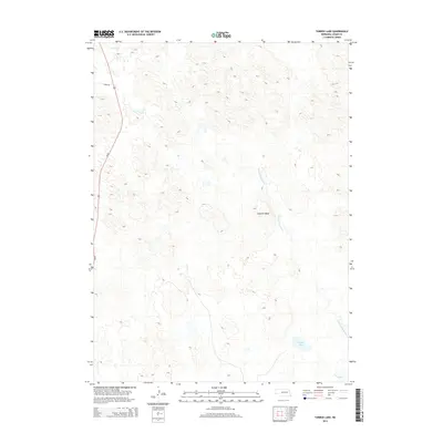 2014 Tarbox Lake2014 Print · USGSLogan County, Nebraska, is seen here in the early 2010s, showcasing a landscape defined by the winding paths of the sandhills' river systems. Local history researchers can trace the course of the N Fork S Loup River past Shanklin Bluff and locate Tarbox Lake.
 - 2014 Map of Cody Lake SW, 2014 Print
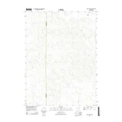 2014 Cody Lake SW2014 Print · USGSMcPherson and Logan counties meet in this 2014 survey of the Nebraska Sandhills, a landscape of intricate terrain and sparse settlement. Genealogists and local historians can trace the paths of Kramer Rd and Lariat RD as they pass near Lone Valley.
 - 2014 Map of Logan, 2014 Print
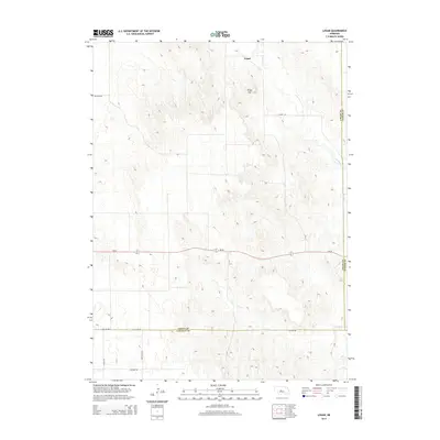 2014 Logan2014 Print · USGSThe settlement of Logan and its surrounding ranchlands are captured in this recent survey of the Nebraska Sand Hills. Researchers can trace the winding S Loup River, find local landmarks like Kings Hill, and map the rural road network including River Rd.
 - 2014 Map of Cody Lake NW, 2014 Print
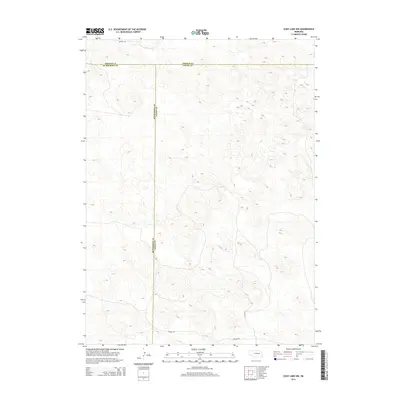 2014 Cody Lake NW2014 Print · USGSThe intersection of McPherson, Logan, and Thomas counties is captured here in the early twenty-first century. Genealogists and local historians can trace rural property access via Kramer Rd, Lutes Rd, and Connell Ln across the undulating Sandhills.
 - 2014 Map of Cody Lake, 2014 Print
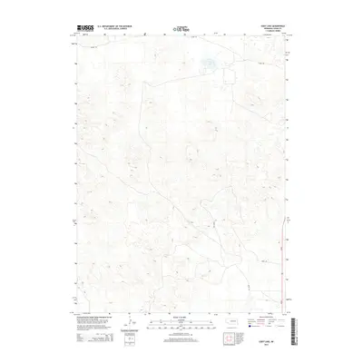 2014 Cody Lake2014 Print · USGSLogan County’s interior landscape is shown here in the early 21st century, dominated by the rolling formations of the Nebraska Sandhills. Researchers can trace the rural road network connecting the region, including Lanka Rd and Doyle Rd near Cody Lake.
 - 2014 Map of Stapleton NW, 2014 Print
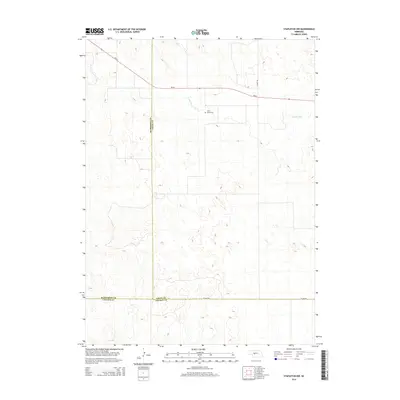 2014 Stapleton NW2014 Print · USGSCentral Nebraska's Sandhills country is captured here at the tri-county border of Lincoln, Logan, and McPherson. Genealogists and local historians can locate the Loup Valley Cem near the banks of the S Loup River and trace the path of NE-92.
 - 2014 Map of Gandy, 2014 Print
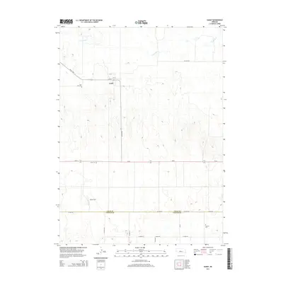 2014 Gandy2014 Print · USGSLogan County, Nebraska, is captured here in the early twenty-first century, centered on the community of Gandy. Researchers can locate family landmarks like Saint Johns Cem and Garfield Cem, or trace the path of the S Loup River.
 - 2014 Map of Hoagland NE, 2014 Print
 2014 Hoagland NE2014 Print · USGSThe Nebraska Sandhills come into focus in this recent survey of the Logan County high plains. Genealogists and land researchers can trace the intersection of four county lines and remote routes like Dunning Rd as they cross the broad Wild Horse Flats.
 - 2014 Map of Mudd Lake, 2014 Print
 2014 Mudd Lake2014 Print · USGSThe Nebraska Sandhills at the Logan and Thomas county line are captured here in the early twenty-first century. Researchers can trace the winding course of Wild Horse Cr as it passes Mudd Lake and the open reach of Wild Horse Flats.
 - 2014 Map of Hoagland, 2014 Print
 2014 Hoagland2014 Print · USGSThe Nebraska Sandhills meet the valley of the S Loup River in this 2014 survey of the central plains. Researchers can trace the rural settlement of Hoagland and the county line shared by Logan Co and Custer Co.
 - 2014 Map of Stapleton, 2014 Print
 2014 Stapleton2014 Print · USGSThe village of Stapleton sits at a vital Nebraska crossroads in the early twenty-first century. Genealogists and local historians can trace the town's street grid and the rural roads crossing the Garfield Table, including N Cattle Growers Rd and the S Loup River valley.
 - 2017 Map of Cody Lake NW, 2017 Print
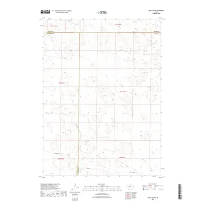 2017 Cody Lake NW2017 Print · USGSThe Nebraska Sandhills at the meeting of McPherson, Thomas, and Logan counties are shown here in the late twenty-teens. Researchers can trace family-named routes and ranch access roads like Fietchner Rd, Starr Dr, and Old Homestead Rd.
Showing maps 1-25 of 48
Top cities of Logan County
Frequently asked questions
- What are the different types of historical maps available for Logan County?
- What is the oldest map of Logan County?
- Where can I purchase historical maps of Logan County for my home or office?
- Where can I download high-res historical maps of Logan County?
- Are there historical topographic maps available for Logan County?
- Is there historical aerial imagery available for Logan County?
- Where are historical maps of Logan County sourced from?