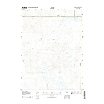
2014 Map of Hoagland NE
USGS Topo · Published 2014About this map
Wild Horse Flats dominates this portion of the Nebraska Sandhills, illustrating the expansive, undulating terrain characteristic of the region. The landscape is defined by its subtle drainage patterns, most notably Wild Horse Cr, which snakes through the topographic depressions. This 2014 survey by the U.S. Geological Survey reveals a sparsely populated area where human activity is limited to a handful of gravel routes, including Dunning Rd and Day Rd. The map provides a precise look at the jurisdictional boundaries where Logan County meets Thomas, Blaine, and Custer counties, offering a clear view of the section lines and township markers that have governed land ownership in this rural ranching country since the early settlement era.
Find a feature on this map
8 named features on this map. Tap any name to fly to it.
Don’t see what you’re looking for? This feature index may not catch every label — zoom into the map to look around manually.
Map Details
Editions of this 2014 Hoagland NE Map
This is the sole edition of this map. No revisions or reprints were ever made.
Other maps of this area

1948 · Linscott
USGS Topo · 1:62,500

1948 · Halsey
USGS Topo · 1:62,500

1950 · Linscott
USGS Topo · 1:62,500

1950 · Halsey
USGS Topo · 1:62,500

1951 · Dunning
USGS Topo · 1:62,500

1951 · Hoagland
USGS Topo · 1:62,500

1954 · North Platte
USGS Topo · 1:250,000

1956 · North Platte
USGS Topo · 1:250,000

1957 · North Platte
USGS Topo · 1:250,000

1967 · North Platte
USGS Topo · 1:250,000