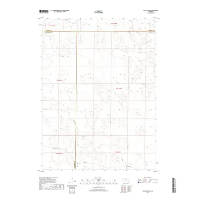
2017 Map of Cody Lake NW
USGS Topo · Published 2017About this map
Old Homestead Rd and Trumbull Rd snake through the sand hills of the Nebraska Panhandle, where McPherson, Thomas, and Logan counties converge. This 2017 U.S. Geological Survey study documents a sparsely populated landscape defined by section lines and private ranch roads rather than traditional town centers. The land is organized by the Public Land Survey System, with townships such as t20n r29w and t21n r30w providing the primary geographic framework for the region's vast rangelands.
Find a feature on this map
18 named features on this map. Tap any name to fly to it.
Don’t see what you’re looking for? This feature index may not catch every label — zoom into the map to look around manually.
Map Details
Editions of this 2017 Cody Lake NW Map
This is the sole edition of this map. No revisions or reprints were ever made.
Other maps of this area

1948 · Thedford
USGS Topo · 1:62,500

1949 · Cody Lake
USGS Topo · 1:62,500

1950 · Thedford
USGS Topo · 1:62,500

1950 · Shimmins Lake
USGS Topo · 1:62,500

1951 · Tryon
USGS Topo · 1:62,500

1951 · Cody Lake
USGS Topo · 1:62,500

1954 · North Platte
USGS Topo · 1:250,000

1956 · North Platte
USGS Topo · 1:250,000

1957 · North Platte
USGS Topo · 1:250,000

1967 · North Platte
USGS Topo · 1:250,000