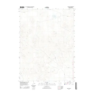
2014 Map of Cody Lake
USGS Topo · Published 2014About this map
Cody Lake sits as the central geographic landmark within this portion of Logan County, surrounded by the characteristic undulating dune topography of the Nebraska Sandhills. The landscape is primarily defined by its physical relief rather than dense human settlement, with a sparse network of section-line roads providing the only significant structural markers. These transit routes, including Lanka Rd in the north and Jones Rd to the south, reflect the expansive rural organization of the region during the early 21st century. The map illustrates how ranching interests and local geography dictate the placement of thoroughfares like Doyle Rd and Kramer Rd, which navigate the depressions between sandy ridges to connect isolated homesteads and pastures in this sparsely populated interior.
Find a feature on this map
5 named features on this map. Tap any name to fly to it.
Don’t see what you’re looking for? This feature index may not catch every label — zoom into the map to look around manually.
Map Details
Editions of this 2014 Cody Lake Map
This is the sole edition of this map. No revisions or reprints were ever made.
Other maps of this area

1899 · North Platte
USGS Topo · 1:125,000

1902 · North Platte
USGS Topo · 1:125,000

1949 · Cody Lake
USGS Topo · 1:62,500

1951 · Cody Lake
USGS Topo · 1:62,500

1951 · Hoagland
USGS Topo · 1:62,500

1954 · North Platte
USGS Topo · 1:250,000

1956 · North Platte
USGS Topo · 1:250,000

1957 · North Platte
USGS Topo · 1:250,000

1967 · North Platte
USGS Topo · 1:250,000

1972 · Stapleton NW
USGS Topo · 1:24,000