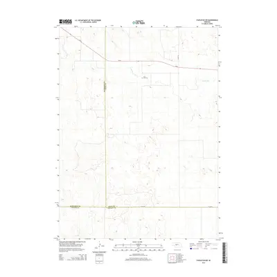
2014 Map of Stapleton NW
USGS Topo · Published 2014About this map
The S Loup River winds through the northern portion of this landscape where Lincoln, Logan, and McPherson counties converge. This Nebraska terrain is defined by a complex network of depressions and sand hills, largely devoid of modern development save for the occasional ranch road or state highway. Settlers and families of the region are remembered at Loup Valley Cem, a quiet landmark located just south of the river. The map illustrates the sparsely populated nature of the central Sandhills in the early 21st century, where human activity is limited to a handful of thoroughfares such as Ne-92 and local routes like Lariat Rd and Co Line Rd.
Find a feature on this map
8 named features on this map. Tap any name to fly to it.
Don’t see what you’re looking for? This feature index may not catch every label — zoom into the map to look around manually.
Map Details
Editions of this 2014 Stapleton NW Map
This is the sole edition of this map. No revisions or reprints were ever made.
Other maps of this area

1899 · North Platte
USGS Topo · 1:125,000

1902 · North Platte
USGS Topo · 1:125,000

1949 · Cody Lake
USGS Topo · 1:62,500

1951 · Tryon
USGS Topo · 1:62,500

1951 · Cody Lake
USGS Topo · 1:62,500

1954 · North Platte
USGS Topo · 1:250,000

1956 · North Platte
USGS Topo · 1:250,000

1957 · North Platte
USGS Topo · 1:250,000

1967 · North Platte
USGS Topo · 1:250,000

1972 · Stapleton NW
USGS Topo · 1:24,000