2000s (21st Century) Maps of Mesquite, Nevada
Explore 12 historic maps of Mesquite from the 2000s (21st Century). These maps offer a rare glimpse into what life looked like during the 2000s — showing old roads, neighborhoods, homes, and landmarks that have changed or disappeared over time.
Whether you're researching your family's past, planning a metal detecting trip, or studying how Mesquite's landscape evolved across the 2000s, these high-resolution maps are a powerful tool for exploring the history of this region.
- Focus on a specific era: All maps on this page are from the 2000s, giving you a focused view of this time period.
- See what’s changed: Compare century-old streets, trails, and buildings to today's modern landscape using overlays and satellite layers.
- Research with precision: Use these maps for genealogy, historical research, land use analysis, or educational projects.
- View, download, or print: Maps are fully viewable online in high resolution, and can be downloaded or printed for your own records.
Start exploring Mesquite's history through authentic maps from the 2000s. This is your window into the past.
Mesquite, NV maps
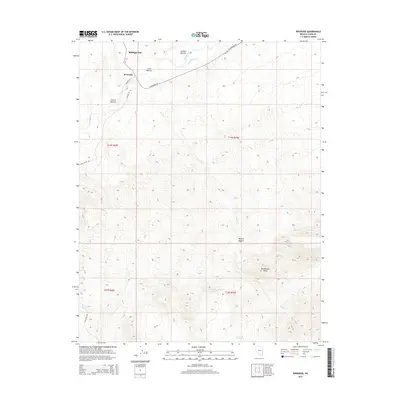
(12)- 2012 Map of Riverside, 2012 Print
 2012 Riverside2012 Print · USGSCovers Mesquite, including Clark County, United States, and other nearby areas
 - 2012 Map of Flat Top Mesa, 2012 Print
 2012 Flat Top Mesa2012 Print · USGSCovers Mesquite, including Bunkerville, Clark County, and other nearby areas
 - 2012 Map of Mesquite, 2012 Print
 2012 Mesquite2012 Print · USGSCovers Mesquite, including Scenic, Clark County, and other nearby areas
 - 2014 Map of Flat Top Mesa, 2014 Print
 2014 Flat Top Mesa2014 Print · USGSCovers Mesquite, including Bunkerville, Clark County, and other nearby areas
 - 2014 Map of Mesquite, 2014 Print
 2014 Mesquite2014 Print · USGSCovers Mesquite, including Scenic, Clark County, and other nearby areas
 - 2014 Map of Riverside, 2014 Print
 2014 Riverside2014 Print · USGSCovers Mesquite, including Clark County, United States, and other nearby areas
 - 2018 Map of Flat Top Mesa, 2018 Print
 2018 Flat Top Mesa2018 Print · USGSCovers Mesquite, including Bunkerville, Clark County, and other nearby areas
 - 2018 Map of Riverside, 2018 Print
 2018 Riverside2018 Print · USGSCovers Mesquite, including Clark County, United States, and other nearby areas
 - 2018 Map of Mesquite, 2018 Print
 2018 Mesquite2018 Print · USGSCovers Mesquite, including Scenic, Clark County, and other nearby areas
 - 2021 Map of Riverside, 2021 Print
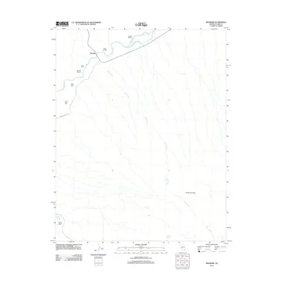
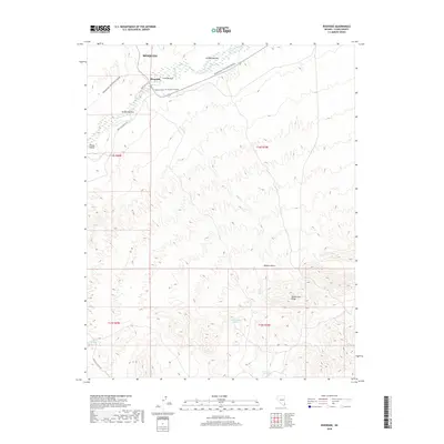
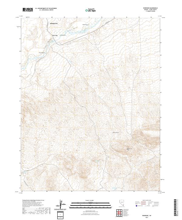 2021 Riverside2021 Print · USGSThe Virgin River valley in Clark County appears here during the early twenty-first century, showing the intersection of desert water sources and local travel. Researchers can trace the river bottoms from Riverside to Arnold Bottom or locate remote sites like Government Spring.
 - 2021 Map of Flat Top Mesa, 2021 Print
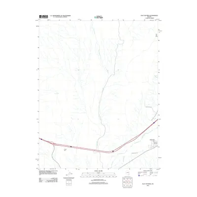
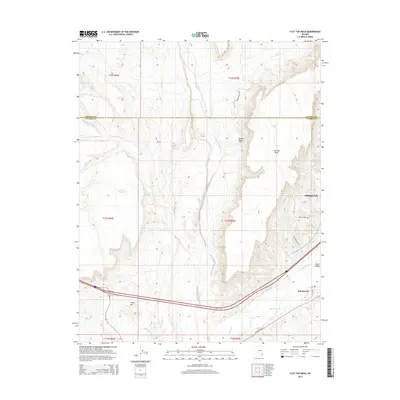
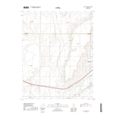
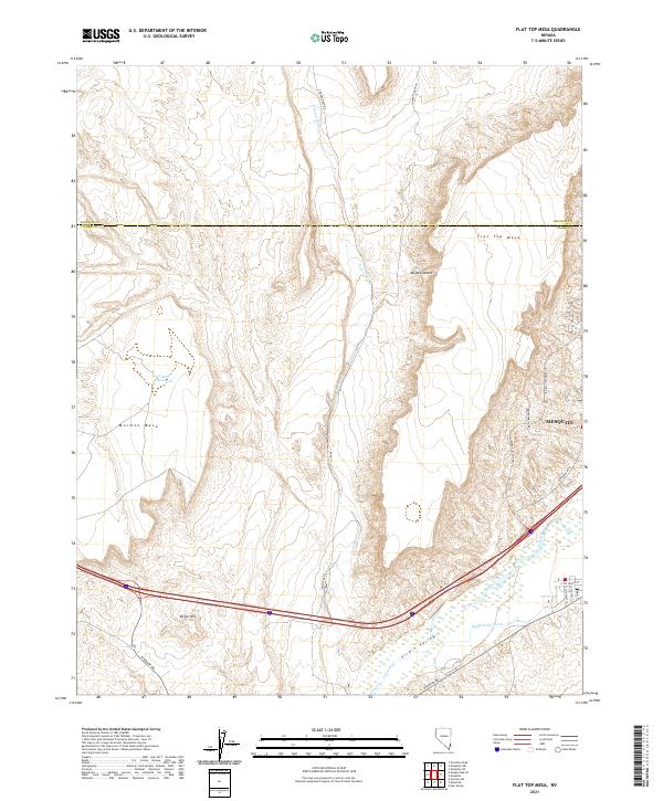 2021 Flat Top Mesa2021 Print · USGSThe Clark and Lincoln county borderlands come alive in this recent survey of the northeast Mojave. Trace the intersection of desert terrain and modern growth from Mesquite to the Virgin River and landmarks like Mormon Mesa.
 - 2021 Map of Mesquite, 2021 Print
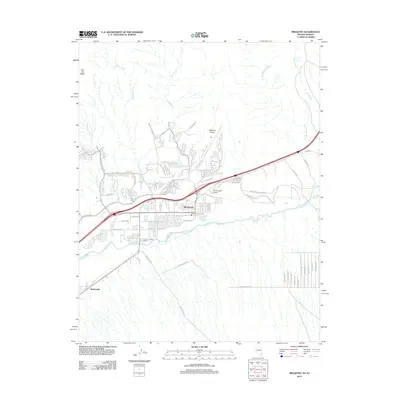
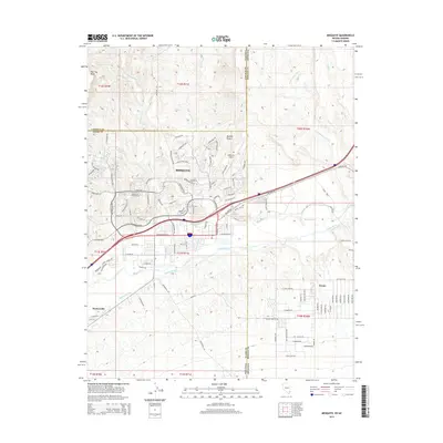
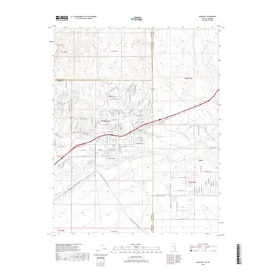
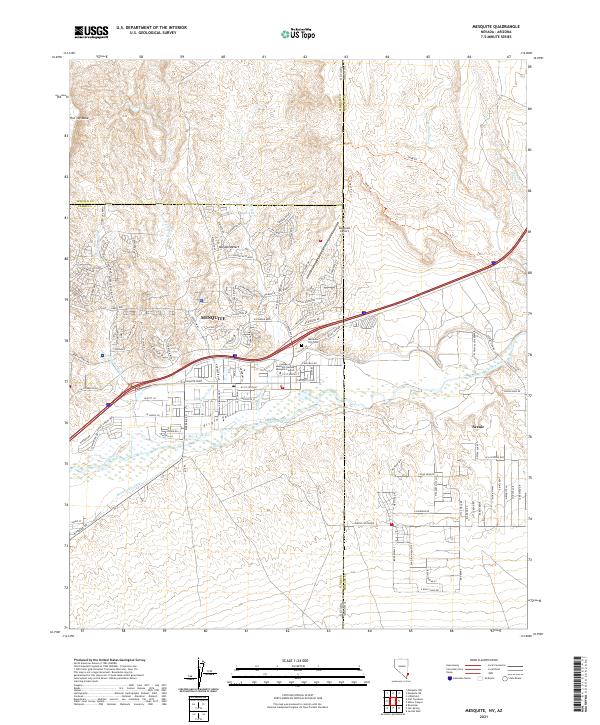 2021 Mesquite2021 Print · USGSMesquite and the Virgin River valley are shown in detail during a period of modern expansion at the Nevada-Arizona border. Local historians can trace old routes like the 1849 Trl and E Lead Mine Rd or locate the Mesquite City Cem near the valley floor.
End of results
Showing maps 1-12 of 12
Top cities near Mesquite
Top neighborhoods of Mesquite
- Chardonnay Townhomes historical maps
- Coronado historical maps
- Santa Fe Vistas historical maps
- Crestview Townhomes historical maps
- Scenic View Townhomes historical maps
- Desert Shade Apartments historical maps
See more
Frequently asked questions
- What are the different types of historical maps available for Mesquite?
- What is the oldest map of Mesquite?
- Where can I purchase historical maps of Mesquite for my home or office?
- Where can I download high-res historical maps of Mesquite?
- Are there historical topographic maps available for Mesquite?
- Is there historical aerial imagery available for Mesquite?
- Where are historical maps of Mesquite sourced from?