1980s Maps of Elko County, Nevada
Explore 162 historic maps of Elko County from the 1980s. These maps offer a rare glimpse into what life looked like during the 1980s — showing old roads, neighborhoods, homes, and landmarks that have changed or disappeared over time.
Whether you're researching your family's past, planning a metal detecting trip, or studying how Elko County's landscape evolved across the 1980s, these high-resolution maps are a powerful tool for exploring the history of this region.
- Focus on a specific era: All maps on this page are from the 1980s, giving you a focused view of this time period.
- See what’s changed: Compare century-old streets, trails, and buildings to today's modern landscape using overlays and satellite layers.
- Research with precision: Use these maps for genealogy, historical research, land use analysis, or educational projects.
- View, download, or print: Maps are fully viewable online in high resolution, and can be downloaded or printed for your own records.
Start exploring Elko County's history through authentic maps from the 1980s. This is your window into the past.
Elko County, NV maps
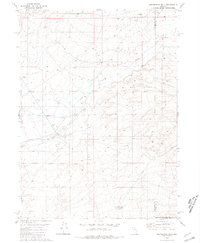
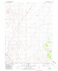
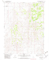
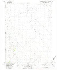
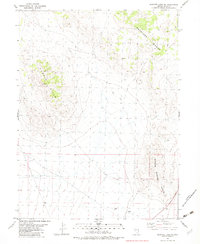
(162)- 1980 Map of Layton Spring
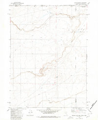
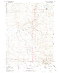 1980 Layton Spring1980 Print · USGSThe high desert of the Nevada-Elko border comes into focus in the late 1970s, showing a landscape defined by remote ranching and seasonal waterways. Researchers can trace early water rights and land use at Little Humboldt Ranch, Layton Spring, and along the Little Humboldt River.
 - 1980 Map of The Knolls
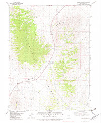
 1980 The Knolls1980 Print · USGSHumboldt County ranching and mining land is recorded here during the early eighties as the Snowstorm Mountains meet the desert floor. Trace old homesteads at Hammond Ranch and Desmond Ranch, or locate historical activity near Ruins and several prospects.2 unique versions available
 - 1980 Map of Button Lake
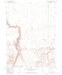
 1980 Button Lake1980 Print · USGSHigh-desert basins along the Humboldt and Elko county line appear in the mid-1970s before this survey was finalized. Researchers can trace remote infrastructure like the northern Landing Strip and Pipeline or locate the namesake Button Lake.
 - 1980 Map of Kenny Creek
 1980 Kenny Creek1980 Print · USGSThe high desert of northern Nevada in the late 1970s reveals a sparse ranching landscape where the Snowstorm Mountains meet the basin floor. Genealogists and researchers can trace local landmarks like Kelly Creek Ranch, find old Prospects, and follow the winding course of Twentyone Creek.
 - 1980 Map of Nadine Butte
 1980 Nadine Butte1980 Print · USGSThe high desert at the tri-state junction of Nevada, Idaho, and Oregon is captured here in the late seventies. Researchers can trace remote overland routes like the Jeep Trail and locate specific landmarks such as Nadine Butte and the Aqueduct.
 - 1980 Map of Greeley Flat SE
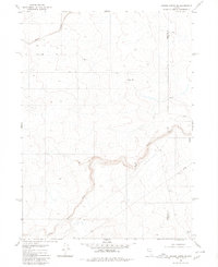
 1980 Greeley Flat SE1980 Print · USGSThe high desert of northern Nevada in the late 1970s is captured here as it straddles the county line. Researchers can trace the path of the North Fork Humboldt River and locate remote land improvements like the Corral and New Reservoir.
 - 1980 Map of Maiden Butte SE
 1980 Maiden Butte SE1980 Print · USGSHigh desert plateaus and deep river cuts define this part of the Nevada interior in the late seventies. Researchers can trace the Little Owyhee River across the county line or follow the remote Jeep Trail and Pipeline routes.
 - 1980 Map of Dry Canyon
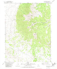
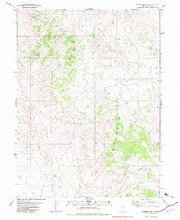
 1980 Dry Canyon1980 Print · USGSThe Nevada high country is documented here during the 1980s as the high-desert ranching tradition continued in the Toiyabe Range. Genealogists and historians can trace family operations at Upper Peavine Ranch and locate remote prospects near Wood Canyon.
 - 1980 Map of Elevenmile Well, 1981 Print
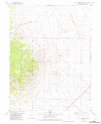
 1980 Elevenmile Well1981 Print · USGSThe high desert of northern Nevada at the start of the 1980s reveals a landscape of remote cattle operations and thermal springs. Researchers can trace the ranching history of Hot Springs Ranch and Lower Clover Ranch or locate Elevenmile Well.2 unique versions available
 - 1981 Map of Wells
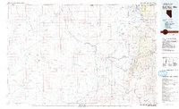
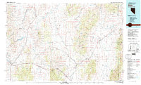 1981 Wells1981 Print · USGSNortheast Nevada during the early 1980s reveals a landscape shaped by transcontinental rail lines and remote desert outposts. Trace the historic paths of the Southern Pacific and Western Pacific near the settlements of Wells, Cobre, and Montello.2 unique versions available
 - 1981 Map of Jarbidge Mts
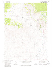
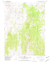
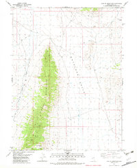
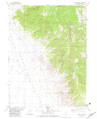
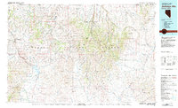 1981 Jarbidge Mts1981 Print · USGSThe high desert and mountain peaks of northern Elko County are captured here in the early eighties. Researchers can trace remote settlements like Jarbidge, identify mining sites such as the Rio Tinto Mine, and locate the Gold Creek Ranger Sta.3 unique versions available
 - 1981 Map of Double Mtn, 1982 Print
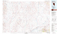 1981 Double Mtn1982 Print · USGSElko County in the early eighties shows a high-desert landscape shaped by the Southern Pacific rail corridor and the basins of the Humboldt River. Genealogists and historians can trace the foundations of Metropolis or locate rural landmarks like Deeth, Welcome, and the Coal Mine in the Adobe Range.2 unique versions available
 - 1982 Map of Currie
 1982 Currie1982 Print · USGSThe Goshute Valley in the early 1980s reveals a landscape shaped by the Nevada Northern railroad and high-desert ranching. Genealogists and historians can trace the settlement of Currie and find remote landmarks like Mustang Well and the Majors site.
 - 1982 Map of Chin Creek Spring
 1982 Chin Creek Spring1982 Print · USGSNortheastern Nevada's high desert reveals its sparse water network and mining history in the early 1980s. Researchers can locate remote resource points like Stockade Spring and Chin Creek Spring or trace mining prospects along the Antelope Range.
 - 1982 Map of Kinsley Mountains
 1982 Kinsley Mountains1982 Print · USGSHigh-desert mining and basin-and-range topography define this Elko County landscape in the early eighties. Researchers can trace resource extraction sites like the Phalan Keegan Mine and find remote water sources such as Itcaina Well.
 - 1982 Map of Goshute Peak
 1982 Goshute Peak1982 Print · USGSElko County’s high desert landscape is recorded here in the early eighties, capturing the interface between mountain and valley. Traces of remote travel and range life can be found along a Jeep Trail and the solitary Well in Antelope Valley.
 - 1982 Map of Ayarbe Spring
 1982 Ayarbe Spring1982 Print · USGSNortheastern Nevada in the early eighties was a landscape of open range and high-desert cattle country. Trace the remote boundary of White Pine Co through Ayarbe Spring, Domingo Well, and the difficult terrain of the Badlands.
 - 1982 Map of Boone Canyon
 1982 Boone Canyon1982 Print · USGSElko County was a landscape of remote mining prospects and rugged tracks in the early 1980s. Genealogists and historians can trace the network of Jeep Trails connecting Boone Spring to several unnamed Prospect sites and the Gravel Pit.
 - 1982 Map of Sharp Peak
 1982 Sharp Peak1982 Print · USGSElko County, Nevada, is captured in the early eighties as a hub of mining activity and remote upland exploration. Trace the footprint of the Victoria Mine or follow the network of Jeep Trails connecting Deer Spring and Sharp Peak.
 - 1982 Map of Dolly Varden Spring
 1982 Dolly Varden Spring1982 Print · USGSElko County at the start of the 1980s reveals a landscape of high-desert mining prospects and vital water holes. Trace the network of old routes from Alt 93 to remote landmarks like Dolly Varden Spring and the Pumping Sta.
 - 1982 Map of Bull Run Mts
 1982 Bull Run Mts1982 Print · USGSElko County and the Idaho borderlands are shown here in the early eighties as a hub of mining and water management. Researchers can trace historic extraction sites like the Edgemont Mine and Cornucopia Mine alongside the Owyhee River and the settlement of Tuscarora.2 unique versions available
 - 1982 Map of White Horse Mountain NW
 1982 White Horse Mountain NW1982 Print · USGSElko County, Nevada, is shown as a remote high-desert basin during the early 1980s. Researchers can trace the sparse tracks of Jeep Trails across Goshute Valley to find essential water points like North Creek and a lonely prospect.
 - 1982 Map of Ferber Peak NW
 1982 Ferber Peak NW1982 Print · USGSElko County, Nevada, in the early eighties exhibits a vast, open landscape shaped by the stark geology of the Badlands. Researchers can trace the network of a primitive Jeep Trail and locate isolated landmarks like a Radio Tower and several remote Corral sites.2 unique versions available
 - 1982 Map of Goshute Lake South
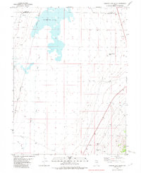 1982 Goshute Lake South1982 Print · USGSThe high-desert valley floor at the Elko and White Pine county line is shown here in the early eighties. Researchers can trace the Nevada Northern rail line as it passes Greens or locate remote water sources like Collar and Elbow Spring.
 - 1982 Map of Goshute Lake NE
 1982 Goshute Lake NE1982 Print · USGSElko County, Nevada, is captured in the early 1980s, showcasing a high-desert environment before modern expansion. Researchers can trace remote routes like the Jeep Trail through the Antelope Range and locate industry at the Gravel Pits.
Showing maps 1-25 of 162
Top cities of Elko County
- Elko historical maps
- Spring Creek historical maps
- West Wendover historical maps
- Carlin historical maps
- Wells historical maps
- Owyhee historical maps
See more
Frequently asked questions
- What are the different types of historical maps available for Elko County?
- What is the oldest map of Elko County?
- Where can I purchase historical maps of Elko County for my home or office?
- Where can I download high-res historical maps of Elko County?
- Are there historical topographic maps available for Elko County?
- Is there historical aerial imagery available for Elko County?
- Where are historical maps of Elko County sourced from?