1970s Maps of Elko County, Nevada
Explore 79 historic maps of Elko County from the 1970s. These maps offer a rare glimpse into what life looked like during the 1970s — showing old roads, neighborhoods, homes, and landmarks that have changed or disappeared over time.
Whether you're researching your family's past, planning a metal detecting trip, or studying how Elko County's landscape evolved across the 1970s, these high-resolution maps are a powerful tool for exploring the history of this region.
- Focus on a specific era: All maps on this page are from the 1970s, giving you a focused view of this time period.
- See what’s changed: Compare century-old streets, trails, and buildings to today's modern landscape using overlays and satellite layers.
- Research with precision: Use these maps for genealogy, historical research, land use analysis, or educational projects.
- View, download, or print: Maps are fully viewable online in high resolution, and can be downloaded or printed for your own records.
Start exploring Elko County's history through authentic maps from the 1970s. This is your window into the past.
Elko County, NV maps
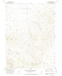
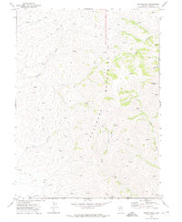
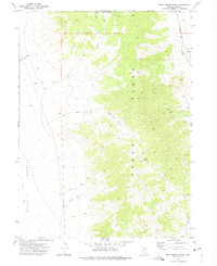
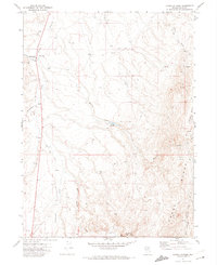
(79)- 1970 Map of Soldier Peak, 1973 Print
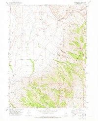 1970 Soldier Peak1973 Print · USGSElko County in the early seventies preserves the historical legacy of the Old West along the base of the Ruby Mountains. Researchers can trace the Old Military Reservation Boundary and locate the Fort Halleck Cem or follow high-elevation routes like the Soldier Trail.
 - 1970 Map of Sun Creek NW, 1973 Print
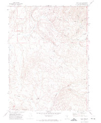
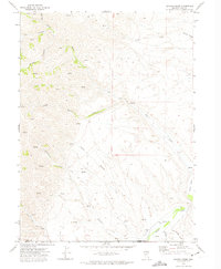
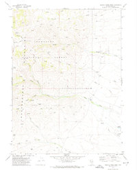
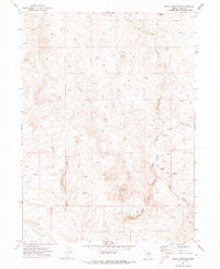
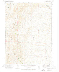
 1970 Sun Creek NW1973 Print · USGSThe high ranching country of Elko County is captured here as it appeared in the early seventies, centered on the drainage of the O'Neil Basin. Researchers can trace remote backcountry landmarks like the Landing Strip, secluded Camp sites, and numerous named water sources including Antelope Spring.
 - 1970 Map of Sugarloaf Butte, 1974 Print
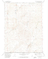
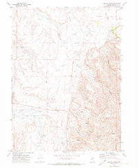
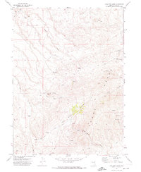
 1970 Sugarloaf Butte1974 Print · USGSElko County, Nevada, in the early seventies shows a landscape defined by cattle ranching and high-desert water sources. Researchers can trace the layout of the St Johns Ranch or follow the numerous Jeep Trails around Sugarloaf Butte and the Tuscarora Mountains.
 - 1970 Map of Ungina Wongo, 1974 Print
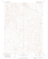
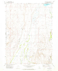
 1970 Ungina Wongo1974 Print · USGSElko County’s high-desert mining and reservation lands are captured here during the 1970s. Trace old mining infrastructure and land divisions between the Duck Valley Indian Reservation and features like the Idaho-Nev Shaft and Dredge Tailings.
 - 1970 Map of Lake Mountain, 1974 Print
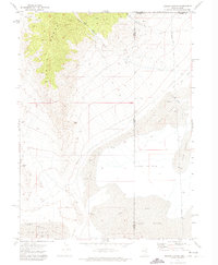
 1970 Lake Mountain1974 Print · USGSElko County rangeland comes into focus during the early 1970s, showing a remote landscape shaped by ranching and mineral exploration. Genealogists and historians can trace the network of water sources from Suttle Spring to The Lakes, alongside sites like Indian Creek Field and local Mine workings.
 - 1970 Map of China Camp, 1974 Print
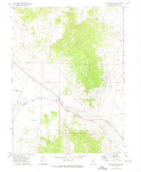
 1970 China Camp1974 Print · USGSNorthern Nevada ranching and mining history come alive in this 1970s survey of Elko County. Genealogists and historians can trace old water sources and routes like Alkali Springs, China Spring, and the solitary Jeep Trail through the high desert.
 - 1970 Map of Santa Renia Fields, 1974 Print
 1970 Santa Renia Fields1974 Print · USGSElko County’s high-desert mining landscape is captured here during the early seventies, spanning the border into Eureka County. Researchers can trace the industrial footprint of the Rossi Mine and Bootstrap Mine or follow the route of The Grade.
 - 1970 Map of Stampede Ranch, 1974 Print
 1970 Stampede Ranch1974 Print · USGSThe Independence Mountains dominate this corner of Elko County during the 1970s, where high-desert ranching and resource extraction intersect. Researchers can trace land use patterns through features like Stampede Ranch, Eagle Rock Reservoir, and several Prospects.2 unique versions available
 - 1970 Map of Beaver Peak, 1974 Print
 1970 Beaver Peak1974 Print · USGSHigh in the Tuscarora Mountains during the early seventies, this survey captures a remote landscape of ranching and mining. Researchers can trace old Jeep Trails to isolated Ruins, scattered Corral sites, and a lone Prospect in Little Boulder Basin.
 - 1970 Map of Beaver Creek, 1974 Print
 1970 Beaver Creek1974 Print · USGSHigh-desert ranching and water rights define this corner of Elko County during the early seventies. Researchers can trace the remote Jeep Trails and seasonal Springs that supported the Red House Ranch and surrounding South Field.
 - 1971 Map of Heelfly Creek, 1973 Print
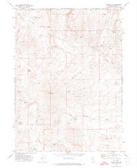
 1971 Heelfly Creek1973 Print · USGSElko County ranching country is captured here in the early 1970s, showcasing the remote basin-and-range landscape. Researchers can trace the layout of the 71 Ranch and identify key water sources like Heelfly Creek and Secret Creek.
 - 1971 Map of Halleck SW, 1973 Print
 1971 Halleck SW1973 Print · USGSLamoille Valley ranching and water management are captured in this early 1970s survey of Elko County. Genealogists and researchers can trace the landscape from Lower Lamoille Road to landmarks like Bills Fishpond and Hoopers Dam.
 - 1971 Map of Halleck, 1973 Print
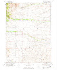
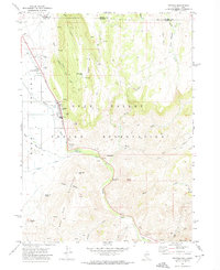
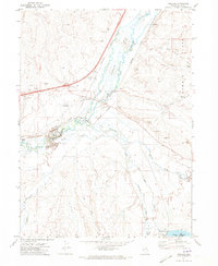 1971 Halleck1973 Print · USGSElko County's high desert landscape comes into focus during the early seventies, centered on the historic rail corridor of the Humboldt River. Trace the legacy of Halleck and the Fort Halleck Military Reservation Boundary alongside old routes like the Old Southern Pacific.
 - 1971 Map of Mahala Creek West, 1974 Print
 1971 Mahala Creek West1974 Print · USGSElko County’s high-country ranching and mining landscape is documented here in the early 1970s. Trace old ranching legacies at the Saval Ranch, find isolated water sources like Van Wyper Spring, and explore the canyon routes through Burns Basin.2 unique versions available
 - 1971 Map of Double Mtn, 1974 Print
 1971 Double Mtn1974 Print · USGSNorthern Elko County in the early seventies was a landscape of remote mountain range and vital water sources. Trace historic ranching infrastructure through named landmarks like Brown House, Double Mtn Well, and Chicken Creek Springs.2 unique versions available
 - 1971 Map of Hardy Creek, 1974 Print
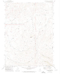
 1971 Hardy Creek1974 Print · USGSElko County, Nevada, shows its rail and utility landscape during the early 1970s as industrial development moved into the high desert. Researchers can trace the routes of the Nevada Northern and Western Pacific railroads near the Squaw Flat Well and Goshute Valley.2 unique versions available
 - 1971 Map of West Morris Basin, 1974 Print
 1971 West Morris Basin1974 Print · USGSElko County’s high desert landscape is captured here in the early seventies, centered on the Toano Range. Researchers can trace the path of the Western Pacific railroad or locate remote features like Tunnel Spring, a Corral, and several Caves.
 - 1971 Map of Devils Armchair, 1974 Print
 1971 Devils Armchair1974 Print · USGSElko County’s high desert landscape is recorded here in the early seventies, showing a territory of remote drainages and mountain peaks. Trace the rugged network of Jeep Trails and natural water sources like Coupling Spring, Mexican Field Creek, and the prominent Devils Armchair.
 - 1971 Map of Owyhee, 1974 Print
 1971 Owyhee1974 Print · USGSLife on the Nevada-Idaho border in the early seventies centered on the Duck Valley Indian Reservation and its lifeline of canals. Researchers can trace the layout of Owyhee, identify the George Washington Cem, and locate landmarks like China Dam and the Rodeo Grounds.
 - 1971 Map of Coal Mine Basin, 1974 Print
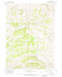
 1971 Coal Mine Basin1974 Print · USGSElko County high country in the early seventies shows a landscape defined by mining operations and remote cattle range. Genealogists and historians can trace the paths of the Coal Mine Road to the Garamendi Mine or locate secluded water sources like Upper Lost Camp Spring.2 unique versions available
 - 1971 Map of Dinner Station, 1974 Print
 1971 Dinner Station1974 Print · USGSNorthern Nevada ranching country is documented here in the early seventies, centered on the high terrain of the Adobe Range. Researchers can trace old stock routes and remote outposts like Dinner Station, Dorsey Reservoir, and the Corral.
 - 1971 Map of North Fork, 1974 Print
 1971 North Fork1974 Print · USGSElko County rangelands in the early 1970s reveal a landscape defined by the North Fork Humboldt River and isolated family operations. Researchers can trace the footprints of the Bellinger Ranch, Truett Ranch, and the LANDING STRIP that served this remote basin.2 unique versions available
 - 1971 Map of Silver Zone Pass, 1974 Print
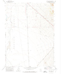
 1971 Silver Zone Pass1974 Print · USGSElko County high country during the early seventies reveals the critical transport corridor through the Toano Range. Researchers can trace the engineering of the Western Pacific railroad through The Loop and locate remote landmarks like the Airway Beacon and Silver Zone.2 unique versions available
 - 1971 Map of The Buttes, 1974 Print
 1971 The Buttes1974 Print · USGSHigh-desert mining and ranching land in Elko County comes into focus during the early seventies. Trace the specialized trails and water sources from Coal Mine Canyon to the Adobe Range, including a remote Coal Mine and Willow Creek.2 unique versions available
 - 1971 Map of Miners Canyon, 1974 Print
 1971 Miners Canyon1974 Print · USGSThe Nevada and Utah borderlands at the start of the 1970s reveal a landscape of high desert springs and mountain trails. Researchers can trace the path of the Aqueduct through the foothills or locate remote landmarks like Window Rock, Miners Spring, and Halls Meadow.2 unique versions available
Showing maps 1-25 of 79
Top cities of Elko County
- Elko historical maps
- Spring Creek historical maps
- West Wendover historical maps
- Carlin historical maps
- Wells historical maps
- Owyhee historical maps
See more
Frequently asked questions
- What are the different types of historical maps available for Elko County?
- What is the oldest map of Elko County?
- Where can I purchase historical maps of Elko County for my home or office?
- Where can I download high-res historical maps of Elko County?
- Are there historical topographic maps available for Elko County?
- Is there historical aerial imagery available for Elko County?
- Where are historical maps of Elko County sourced from?