1990s Maps of Humboldt County, Nevada
Explore 71 historic maps of Humboldt County from the 1990s. These maps offer a rare glimpse into what life looked like during the 1990s — showing old roads, neighborhoods, homes, and landmarks that have changed or disappeared over time.
Whether you're researching your family's past, planning a metal detecting trip, or studying how Humboldt County's landscape evolved across the 1990s, these high-resolution maps are a powerful tool for exploring the history of this region.
- Focus on a specific era: All maps on this page are from the 1990s, giving you a focused view of this time period.
- See what’s changed: Compare century-old streets, trails, and buildings to today's modern landscape using overlays and satellite layers.
- Research with precision: Use these maps for genealogy, historical research, land use analysis, or educational projects.
- View, download, or print: Maps are fully viewable online in high resolution, and can be downloaded or printed for your own records.
Start exploring Humboldt County's history through authentic maps from the 1990s. This is your window into the past.
Humboldt County, NV maps
(71)- 1990 Map of Knott Creek Ranch
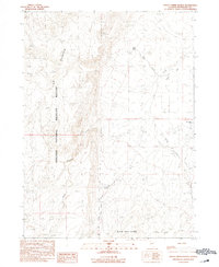 1990 Knott Creek Ranch1990 Print · USGSThe high desert of Humboldt County is captured in the early nineties, centered on the remote Knott Creek Ranch. Researchers can trace the rugged transition from the Sheldon National Wildlife Refuge to the Black Rock Range through landmarks like Idaho Canyon and Indian Spring.
 - 1990 Map of Deer Creek Peak
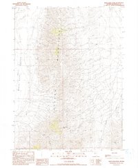 1990 Deer Creek Peak1990 Print · USGSHumboldt County’s high desert landscape was mapped in detail just before the turn of the millennium, showing a region defined by mining and ranching. Researchers can trace remote operations and water sources like Bottle Creek Ranch, Mine sites, and Poorman Spring.
 - 1990 Map of Red Butte
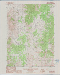 1990 Red Butte1990 Print · USGSThe Jackson Mountains in the early nineties show a landscape defined by desert mining and isolated springs. Researchers can trace historic mineral claims like the Iron Chief Mine and Stroud Mine or locate remote water sources like Fish Pond Spring.
 - 1990 Map of Vicksburg Canyon
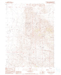 1990 Vicksburg Canyon1990 Print · USGSHumboldt County’s high desert mining country is captured here in the 1990s, where the mountain ranges meet the arid valley floor. Genealogists and historians can trace the remote operations of the Vicksburg Mine, Ashdown Mine, and Cherry Gulch Mine.
 - 1990 Map of Mustang Spring
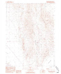 1990 Mustang Spring1990 Print · USGSHumboldt County ranching and mining country is captured here during the late 1980s as the high desert landscape was mapped for modern infrastructure. Researchers can trace water-driven landmarks like Mustang Spring and Leuder Well alongside numerous mineral prospects.
 - 1990 Map of Alder Creek Ranch
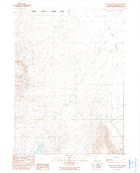 1990 Alder Creek Ranch1990 Print · USGSRemote high-desert ranching and mining define this Humboldt County landscape in the early nineties. Researchers can trace land use through features like the Painted Hills Mine, the remote Alder Creek Ranch, and the Bog Hot Well.
 - 1990 Map of Donna Schee Peak
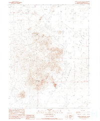 1990 Donna Schee Peak1990 Print · USGSHumboldt County’s high-desert terrain is captured here during the late twentieth century, showing a landscape defined by mining exploration and arid basins. Researchers can locate remote industrial sites like Krug Hill prospects and vital water sources such as Fivemile Well.
 - 1990 Map of Bottle Creek Ranch
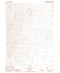 1990 Bottle Creek Ranch1990 Print · USGSHumboldt County’s high-desert mining country is captured here during the late twentieth century, showing the remote intersection of ranching and mineral extraction. Researchers can locate specific industrial sites like the White Peaks Mine and McAdoo Mine or trace water sources like Burro Bills Spring.
 - 1990 Map of Thousand Creek Spring
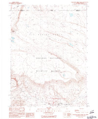 1990 Thousand Creek Spring1990 Print · USGSThe high desert borderlands of Nevada and Oregon come into focus during the late twentieth century, showing a landscape defined by wildlife preservation and volcanic plateaus. Researchers can locate remote outposts like McKenney Camp and important water sources such as Thousand Creek Spring and Dufurrena Pond No 19.
 - 1990 Map of Kings River Ranch
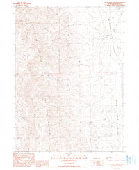 1990 Kings River Ranch1990 Print · USGSHumboldt County ranching and high-desert terrain come into focus in this late twentieth-century survey. You can trace the proximity of Kings River Ranch to essential water sources like Fivemile Spring and the Kings River.
 - 1990 Map of Bear Buttes
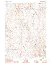 1990 Bear Buttes1990 Print · USGSHumboldt County’s high desert plateau is captured here in the 1990s, revealing a landscape of remote wildlife habitat and ancient volcanic geology. Researchers can trace the Old Military Reservation Boundary or locate vital water sources like Tenmile Spring and Rock Spring.
 - 1990 Map of Dyke Canyon
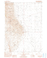 1990 Dyke Canyon1990 Print · USGSHumboldt County’s high-desert frontier is captured here during the late twentieth century as ranching and mining legacies persisted in the Great Basin. Researchers can trace the location of the Dyke (Site), the local Cem, and family landmarks like Woodward Ranch.
 - 1990 Map of Bishop Peak
 1990 Bishop Peak1990 Print · USGSThe Pine Forest Range of northern Nevada is captured here in the late twentieth century, showing a remote landscape of high-desert ranching and mining. Researchers can trace the layout of the Leonard Creek Ranch, find the isolated Tipperary Mine, and locate the high-altitude Sentinel Peak Reservoir.
 - 1990 Map of Virgin Valley
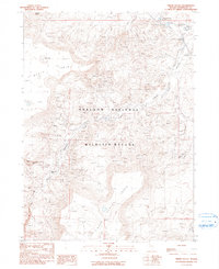 1990 Virgin Valley1990 Print · USGSNorthwestern Nevada’s high desert opal fields and wildlife lands are captured here during the late twentieth century. Researchers can trace the layout of the famous Royal Peacock Mine and Rainbow Ridge Mine or locate remote outposts like the Dufurrena Range Headquarters.
 - 1990 Map of Bilk Creek Reservoir
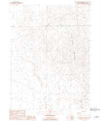 1990 Bilk Creek Reservoir1990 Print · USGSHumboldt County’s high-desert terrain is captured here in the late twentieth century, showing the rugged drainage systems of the Bilk Creek Mountains. Researchers can trace the remote network of Stock Ponds and local resource sites like the Gravel Pit and Borrow Pit.
 - 1990 Map of Big Spring Butte
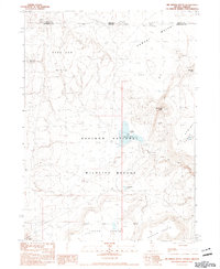 1990 Big Spring Butte1990 Print · USGSThe Nevada-Oregon borderlands are captured here in the 1990s within the protected expanse of the Sheldon National Wildlife Refuge. Researchers can trace the high-desert hydrology of Big Spring Reservoir and family-named landmarks like Hazeltine Lake and Gooch Table.
 - 1990 Map of Ninemile Summit
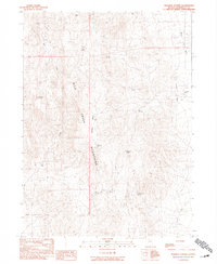 1990 Ninemile Summit1990 Print · USGSHumboldt County’s high-desert interior is captured here in the early 1990s, focusing on the isolated ranching and water networks of the Great Basin. Researchers can trace remote livestock outposts like Nine Mile Ranch and critical water sources such as Agate Spring and Bilk Creek.
 - 1990 Map of King Lear Peak
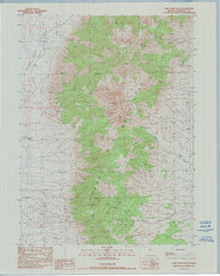 1990 King Lear Peak1990 Print · USGSThe Jackson Mountains rise over the Black Rock Desert in the early 1990s, capturing a remote landscape of mining and high peaks. Researchers can locate the Red Boy Mine, trace the waters of Big Cedar Creek, and identify landmarks like King Lear Peak.
 - 1990 Map of Alkali Peak
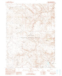 1990 Alkali Peak1990 Print · USGSHumboldt County’s high desert is captured here in the late twentieth century within the vast Sheldon National Wildlife Refuge. Researchers can trace old rangeland sites like the Devaney Camp Site and vital water sources including Mc Clusky Spring and Virgin Creek.
 - 1990 Map of Trident Peak
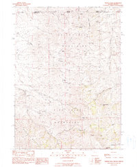 1990 Trident Peak1990 Print · USGSThe Nevada-Oregon borderlands in the 1990s reveal a landscape of high summits and isolated mining outposts. Researchers can trace remote history through the Lucky Strike Mine and family-named ruins like the Jack Spade Cabin and Ayers Cabin.
 - 1990 Map of Salt Water Spring
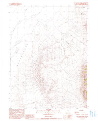 1990 Salt Water Spring1990 Print · USGSThe high desert of Humboldt County meets the mountains in the early 1990s, revealing a landscape of vital springs and remote camps. Trace the water sources essential for survival in this basin, including Salt Water Spring, Butte Spring, and the Bill DeLong Well.
 - 1990 Map of Parrot Peak
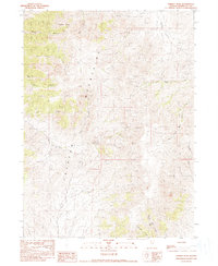 1990 Parrot Peak1990 Print · USGSThe Jackson Mountains of northern Nevada are captured here in the 1990s, showing a landscape defined by high summits and deep canyons. Prospectors and researchers can trace the locations of the Humboldt Mine, Redbird Mine, and remote landmarks like Parrot Peak.
 - 1990 Map of Knott Creek
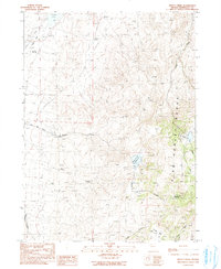 1990 Knott Creek1990 Print · USGSHumboldt County in the 1990s was a landscape defined by high-desert ranching and the management of scarce water. Researchers can trace the layout of the Pine Forest Range and locate remote landmarks like Hollywood Meadow and Gridley Springs.
 - 1990 Map of Schoolhouse Butte
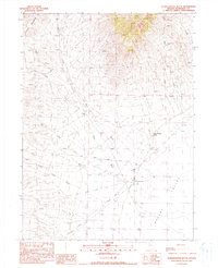 1990 Schoolhouse Butte1990 Print · USGSHumboldt County ranching and mining operations are captured here during the late twentieth century as the high peaks meet the valley floor. Researchers can trace land use through features like Trout Creek Ranch, several upland Prospects, and Schoolhouse Butte.
 - 1990 Map of Rock Springs Table
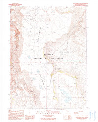 1990 Rock Springs Table1990 Print · USGSHumboldt County's high-desert plateau is captured here in the late twentieth century, showing the remote reaches of the Sheldon National Wildlife Refuge. Researchers can locate the historic Alkali Ranch and trace water sources across the Rock Spring Table to Onion Lake.2 unique versions available
Showing maps 1-25 of 71
Top cities of Humboldt County
- Winnemucca historical maps
- Grass Valley historical maps
- Fort McDermitt historical maps
- Golconda historical maps
- Paradise Valley historical maps
- Orovada historical maps
See more
Frequently asked questions
- What are the different types of historical maps available for Humboldt County?
- What is the oldest map of Humboldt County?
- Where can I purchase historical maps of Humboldt County for my home or office?
- Where can I download high-res historical maps of Humboldt County?
- Are there historical topographic maps available for Humboldt County?
- Is there historical aerial imagery available for Humboldt County?
- Where are historical maps of Humboldt County sourced from?