1980s Maps of Humboldt County, Nevada
Explore 98 historic maps of Humboldt County from the 1980s. These maps offer a rare glimpse into what life looked like during the 1980s — showing old roads, neighborhoods, homes, and landmarks that have changed or disappeared over time.
Whether you're researching your family's past, planning a metal detecting trip, or studying how Humboldt County's landscape evolved across the 1980s, these high-resolution maps are a powerful tool for exploring the history of this region.
- Focus on a specific era: All maps on this page are from the 1980s, giving you a focused view of this time period.
- See what’s changed: Compare century-old streets, trails, and buildings to today's modern landscape using overlays and satellite layers.
- Research with precision: Use these maps for genealogy, historical research, land use analysis, or educational projects.
- View, download, or print: Maps are fully viewable online in high resolution, and can be downloaded or printed for your own records.
Start exploring Humboldt County's history through authentic maps from the 1980s. This is your window into the past.
Humboldt County, NV maps
(98)- 1980 Map of Odell Mountain
 1980 Odell Mountain1980 Print · USGSHumboldt County high country is documented here in the early eighties, showing the remote borderlands between Nevada and Oregon. Researchers can locate high-desert landmarks like the Quinn River Cabin, mountain Prospects, and essential water sources including Sheepherder Springs.
 - 1980 Map of Layton Spring
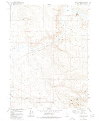 1980 Layton Spring1980 Print · USGSThe high desert of the Nevada-Elko border comes into focus in the late 1970s, showing a landscape defined by remote ranching and seasonal waterways. Researchers can trace early water rights and land use at Little Humboldt Ranch, Layton Spring, and along the Little Humboldt River.
 - 1980 Map of Calico Butte
 1980 Calico Butte1980 Print · USGSThe Oregon-Nevada borderlands in the early eighties were defined by isolated ranching outposts and vital desert water sources. Researchers can trace the layout of Calico Ranch, locate the Caves, and follow the seasonal flows of Wild Bills Creek.2 unique versions available
 - 1980 Map of Clapper Creek
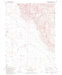 1980 Clapper Creek1980 Print · USGSHumboldt County ranching and desert exploration come into focus in the early 1980s as the Black Rock Range meets the playa. Trace the location of remote water sources like Springs (Hot), Wheeler Reservoir, and the Flowing Well.
 - 1980 Map of Division Peak
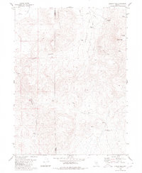 1980 Division Peak1980 Print · USGSThe Nevada high desert along the Washoe and Humboldt county line comes into focus in this late twentieth-century survey. Trace the paths of miners and ranchers through Leadville Canyon or locate remote water sources like Mc Carty Spring and Donnelly Spring.
 - 1980 Map of Mc Connel Canyon
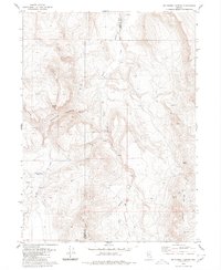 1980 Mc Connel Canyon1980 Print · USGSThe Humboldt County high country was a landscape of remote springs and desert tracks at the start of the 1980s. Researchers can trace early mining attempts at the Prospects or locate historical water sources like Willow Creek Reservoir and Whiskey Spring.
 - 1980 Map of Dry Hills South
 1980 Dry Hills South1980 Print · USGSMining and ranching history converge in the Humboldt County desert in the late seventies. Researchers can trace land use at Duvivier Place and Layton Field or locate workings at the Reilly Mine.
 - 1980 Map of The Knolls
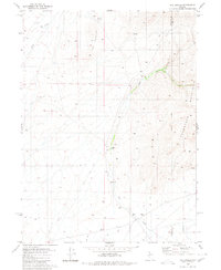 1980 The Knolls1980 Print · USGSHumboldt County ranching and mining land is recorded here during the early eighties as the Snowstorm Mountains meet the desert floor. Trace old homesteads at Hammond Ranch and Desmond Ranch, or locate historical activity near Ruins and several prospects.2 unique versions available
 - 1980 Map of Capitol Peak
 1980 Capitol Peak1980 Print · USGSHumboldt County ranching and high-desert terrain are documented here during the late twentieth century. Researchers can trace remote outposts like Laca Camp and Forks Ranch alongside vital water sources such as the North Mahogany Reservoir.
 - 1980 Map of Mahogany Spring
 1980 Mahogany Spring1980 Print · USGSThe high desert border between Nevada and Oregon is mapped here in the early eighties, showcasing the transition from the Calico Mountains to the southern Humboldt National Forest. Researchers can trace the drainage of the East Fork Quinn River and locate remote water sources like Owyhee Reservoir 3 and Mahogany Spring.
 - 1980 Map of Black Rock Point West
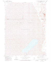 1980 Black Rock Point West1980 Print · USGSPershing and Humboldt Counties are captured in the late seventies and early eighties, showing the stark expanse of the Black Rock Desert. Researchers can trace the path of the Quinn River and locate geothermal landmarks like Black Rock Springs.2 unique versions available
 - 1980 Map of Black Ridge
 1980 Black Ridge1980 Print · USGSHumboldt County’s high-desert canyons and ridges are mapped here as they appeared in 1980. Local history researchers can trace old ranching and travel routes like Bradshaw Road and identify remote landmarks including Recanzone Spring and the Cabin site.
 - 1980 Map of Button Lake
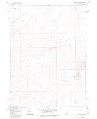 1980 Button Lake1980 Print · USGSHigh-desert basins along the Humboldt and Elko county line appear in the mid-1970s before this survey was finalized. Researchers can trace remote infrastructure like the northern Landing Strip and Pipeline or locate the namesake Button Lake.
 - 1980 Map of Greeley Flat
 1980 Greeley Flat1980 Print · USGSNorthern Humboldt County's high desert is captured here in the late 1970s, showing a landscape defined by ranching trails and vital water sources. Researchers can trace the path of the North Fork Little Humboldt River and locate remote sites like Greeley Crossing and Evans Lake.
 - 1980 Map of Hardscrabble
 1980 Hardscrabble1980 Print · USGSHumboldt County ranching culture is well-documented in the late 1970s, showing a landscape of high-desert water management and grazing. Researchers can trace the network of isolated corrals and vital springs, from Picket Corral to the depths of Deadman Gulch and Horse Basin.
 - 1980 Map of Spring City
 1980 Spring City1980 Print · USGSHumboldt County ranching and mining history meet in the early 1980s at the edge of the forest and the open desert. Researchers can trace the remnants of old camps at Spring City (Site) and Gouge Eye or find local landmarks like Old Mill Ranch.
 - 1980 Map of Wagner Springs
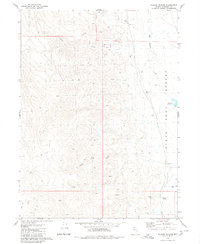 1980 Wagner Springs1980 Print · USGSHumboldt County in the late seventies is captured here at the intersection of the high desert and the rugged western canyons. Researchers can locate remote landmarks like the Landing Field, Wagner Springs, and the waters of Wheeler Reservoir.2 unique versions available
 - 1980 Map of Donnelly Creek
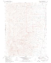 1980 Donnelly Creek1980 Print · USGSHumboldt County ranching and desert landscapes are captured here in the late twentieth century, showing a remote corner of Nevada before modern expansion. Local historians can locate isolated homesteads like Jackson Ranch and Morley Place or trace the paths through Petrified Canyon.
 - 1980 Map of Kenny Creek
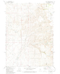 1980 Kenny Creek1980 Print · USGSThe high desert of northern Nevada in the late 1970s reveals a sparse ranching landscape where the Snowstorm Mountains meet the basin floor. Genealogists and researchers can trace local landmarks like Kelly Creek Ranch, find old Prospects, and follow the winding course of Twentyone Creek.
 - 1980 Map of Maiden Butte
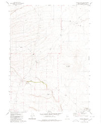 1980 Maiden Butte1980 Print · USGSThe high desert of Humboldt County is captured here during the 1970s, revealing a landscape of remote outposts and essential water sources. Researchers can trace the paths of old Jeep Trails connecting Owyhee Camp, Maiden Springs, and the prominent Maiden Butte.
 - 1980 Map of Chimney Reservoir
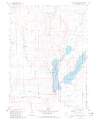 1980 Chimney Reservoir1980 Print · USGSNorthern Nevada ranching and water management define this late-century survey of the Eden Valley region. Researchers can trace the water levels of Chimney Reservoir and locate remote sites like the North Fork Ranch and Chimney Dam.
 - 1980 Map of Nadine Butte
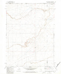 1980 Nadine Butte1980 Print · USGSThe high desert at the tri-state junction of Nevada, Idaho, and Oregon is captured here in the late seventies. Researchers can trace remote overland routes like the Jeep Trail and locate specific landmarks such as Nadine Butte and the Aqueduct.
 - 1980 Map of Greeley Flat SE
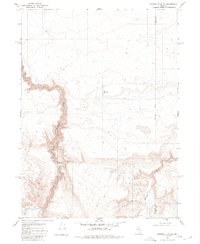 1980 Greeley Flat SE1980 Print · USGSThe high desert of northern Nevada in the late 1970s is captured here as it straddles the county line. Researchers can trace the path of the North Fork Humboldt River and locate remote land improvements like the Corral and New Reservoir.
 - 1980 Map of Pidgeon Spring SW
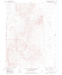 1980 Pidgeon Spring SW1980 Print · USGSHumboldt County’s arid interior is documented here during the late twentieth century, showing the transition from mountain to playa. Trace the path of an old Jeep Trail toward a lonely Prospect or locate the rare Spring at the edge of the Black Rock Range.
 - 1980 Map of Pidgeon Spring SE
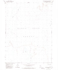 1980 Pidgeon Spring SE1980 Print · USGSHumboldt County's remote basin floor is captured here in the early 1980s, showcasing the intricate drainage of the Black Rock Desert. Researchers can trace the winding path of the Quinn River and the marshy Jackson Creek Slough across this unpopulated landscape.
Showing maps 1-25 of 98
Top cities of Humboldt County
- Winnemucca historical maps
- Grass Valley historical maps
- Fort McDermitt historical maps
- Golconda historical maps
- Paradise Valley historical maps
- Orovada historical maps
See more
Frequently asked questions
- What are the different types of historical maps available for Humboldt County?
- What is the oldest map of Humboldt County?
- Where can I purchase historical maps of Humboldt County for my home or office?
- Where can I download high-res historical maps of Humboldt County?
- Are there historical topographic maps available for Humboldt County?
- Is there historical aerial imagery available for Humboldt County?
- Where are historical maps of Humboldt County sourced from?