2020s Maps of Humboldt County, Nevada
Explore 200 historic maps of Humboldt County from the 2020s. These maps offer a rare glimpse into what life looked like during the 2020s — showing old roads, neighborhoods, homes, and landmarks that have changed or disappeared over time.
Whether you're researching your family's past, planning a metal detecting trip, or studying how Humboldt County's landscape evolved across the 2020s, these high-resolution maps are a powerful tool for exploring the history of this region.
- Focus on a specific era: All maps on this page are from the 2020s, giving you a focused view of this time period.
- See what’s changed: Compare century-old streets, trails, and buildings to today's modern landscape using overlays and satellite layers.
- Research with precision: Use these maps for genealogy, historical research, land use analysis, or educational projects.
- View, download, or print: Maps are fully viewable online in high resolution, and can be downloaded or printed for your own records.
Start exploring Humboldt County's history through authentic maps from the 2020s. This is your window into the past.
Humboldt County, NV maps
(200)- 2020 Map of Star Valley Knoll, 2020 Print
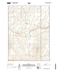 2020 Star Valley Knoll2020 Print · USGSThe Oregon-Idaho borderlands in Malheur County are captured here in the contemporary era, revealing a landscape of high-desert water management. Researchers can trace the courses of Tent Cr and locate remote landmarks such as Star Valley Knoll and Pigeon-toe Lake.
 - 2020 Map of Lookout Lake, 2020 Print
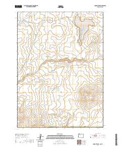 2020 Lookout Lake2020 Print · USGSMalheur County, Oregon, at the Nevada border is shown here in the 2020s as a high-desert landscape shaped by volcanic buttes and critical water reservoirs. Researchers can trace remote routes like Tent Creek Rd past Lookout Lake and the prominent Willow Creek Butte.
 - 2021 Map of Chimney Reservoir, 2021 Print
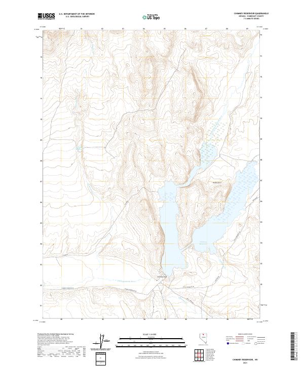 2021 Chimney Reservoir2021 Print · USGSNorthern Nevada water resources and high-desert drainage patterns are mapped in detail here during the 2020s. Researchers can trace the reach of Chimney Reservoir and find remote landmarks like Chimney Peak and Twentytwo Cr.
 - 2021 Map of Andorno Ranch, 2021 Print
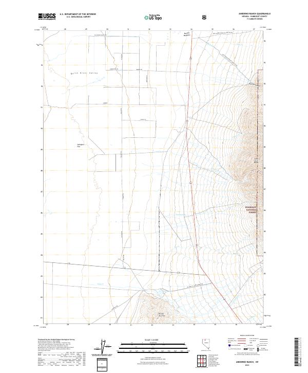 2021 Andorno Ranch2021 Print · USGSHumboldt County in the modern era continues to be defined by its expansive high-desert basins and the steep slopes of the Santa Rosa Range. Researchers can trace the network of ranching routes and water sources from Buffalo Meadows to the Andorno Creek Trl.
 - 2021 Map of Paradise Valley, 2021 Print
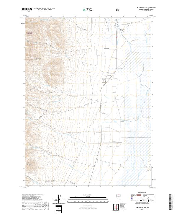 2021 Paradise Valley2021 Print · USGSParadise Valley and the eastern slopes of the Santa Rosa Range appear in detail in this modern survey. Genealogists and historians can trace the ranching corridors of Keystone Ranch Rd and Daniel Ln as they cross Stone House Cr and the valley wetlands.
 - 2021 Map of Rose Creek Mountain, 2021 Print
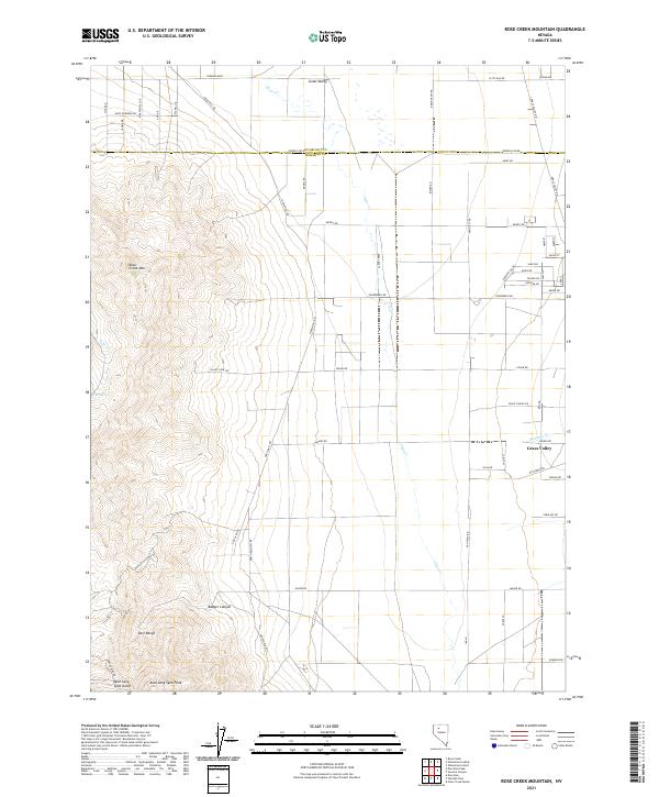 2021 Rose Creek Mountain2021 Print · USGSPershing and Humboldt counties meet in this high-desert landscape during the early twenty-first century, where the mountains descend into the valley floor. Researchers can trace mining access via Jupiter Mine Rd or locate local landmarks like Auld Lang Syne Peak and Rose Spring.
 - 2021 Map of Floka, 2021 Print
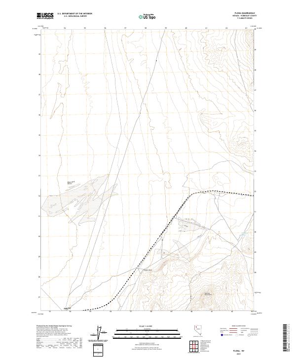 2021 Floka2021 Print · USGSHumboldt County’s high desert landscape comes into focus during the early twenty-first century. Researchers can trace the path of Jungo Rd past the settlement of Sulphur and locate secluded water sources like Mandalay Spring.
 - 2021 Map of McConnell Peak, 2021 Print
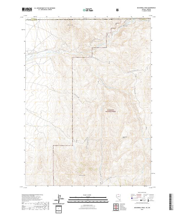 2021 McConnell Peak2021 Print · USGSThe high desert of Humboldt County and the Nevada-Oregon border come into focus in this recent survey of the Santa Rosa Range. Researchers can trace the remote network of Jakes Creek Road and the headwaters of the Quinn River near Devils Gate.
 - 2021 Map of Gaskell, 2021 Print
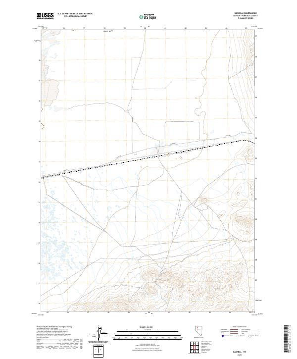 2021 Gaskell2021 Print · USGSIn the high desert of northern Nevada, this contemporary survey shows the expansive basin and range geography of Humboldt County. Researchers can trace the path of Jungo Rd as it cuts across the southern portion of Desert Valley.
 - 2021 Map of Cordero Mine, 2021 Print
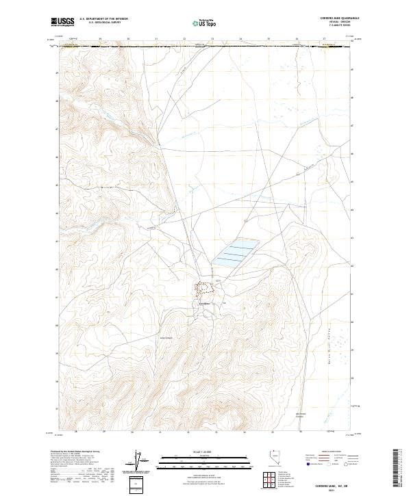 2021 Cordero Mine2021 Print · USGSThe Nevada-Oregon state line reveals a landscape of high-desert industry and drainages in the early twenty-first century. Researchers can trace the layout of the mining settlement at Cordero and follow the paths of McDermitt Cr and the Quinn River.
 - 2021 Map of Sugarloaf Knob, 2021 Print
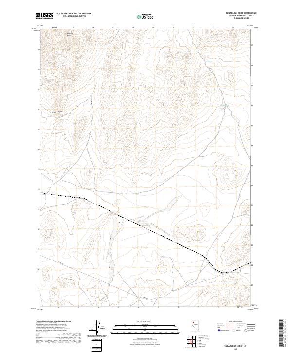 2021 Sugarloaf Knob2021 Print · USGSHumboldt County's high-desert landscape is captured here in the early twenty-first century. Researchers can trace the path of Jungo Rd or locate water sources like Fox Spring and Smokey Spring near the prominent Sugarloaf Knob.
 - 2021 Map of Sawtooth Knob, 2021 Print
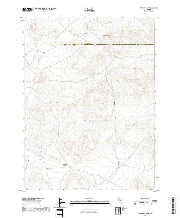 2021 Sawtooth Knob2021 Print · USGSPershing and Humboldt counties meet in this high-desert territory during the early twenty-first century. Researchers can trace the essential water points of the Great Basin at Railroad Spring and Mitchum Spring, or follow the deep contours of Box Canyon.
 - 2021 Map of Cherry Creek SE, 2021 Print
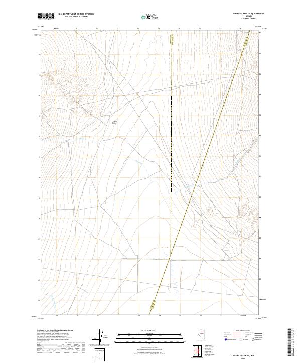 2021 Cherry Creek SE2021 Print · USGSPershing and Humboldt counties meet in the high Nevada desert in this recent survey of the Great Basin landscape. Local researchers can trace the drainage of Buffalo Valley through seasonal watercourses like Cherry Cr, Timber Cr, and Perry Canyon Cr.
 - 2021 Map of Hinkey Summit, 2021 Print
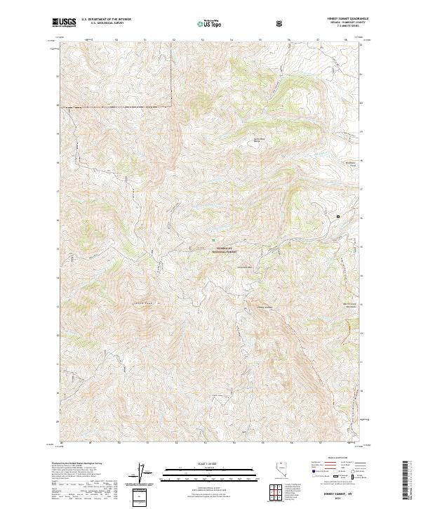 2021 Hinkey Summit2021 Print · USGSThe Santa Rosa Range of Northern Nevada is shown here in the early twenty-first century as a high-desert wilderness of peaks and pack trails. Researchers can trace remote routes like Slick Rock Trl, find landmarks like Bradshaw Field, and follow the many forks of Dutch John Cr.
 - 2021 Map of Maiden Butte SE, 2021 Print
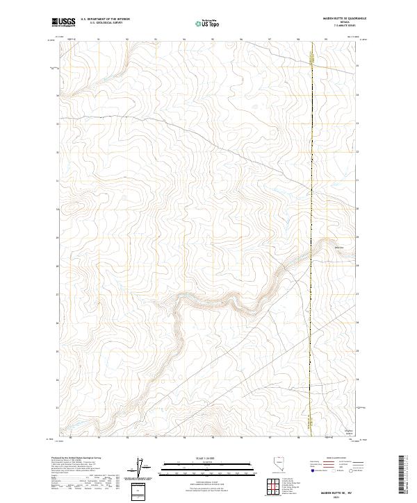 2021 Maiden Butte SE2021 Print · USGSThe high desert of northern Nevada at the county line appears in detail on this modern survey. Genealogists and researchers can trace the course of the Little Owyhee River or locate remote landmarks like Dobe Doc and Raven Cr.
 - 2021 Map of Long Canyon, 2021 Print
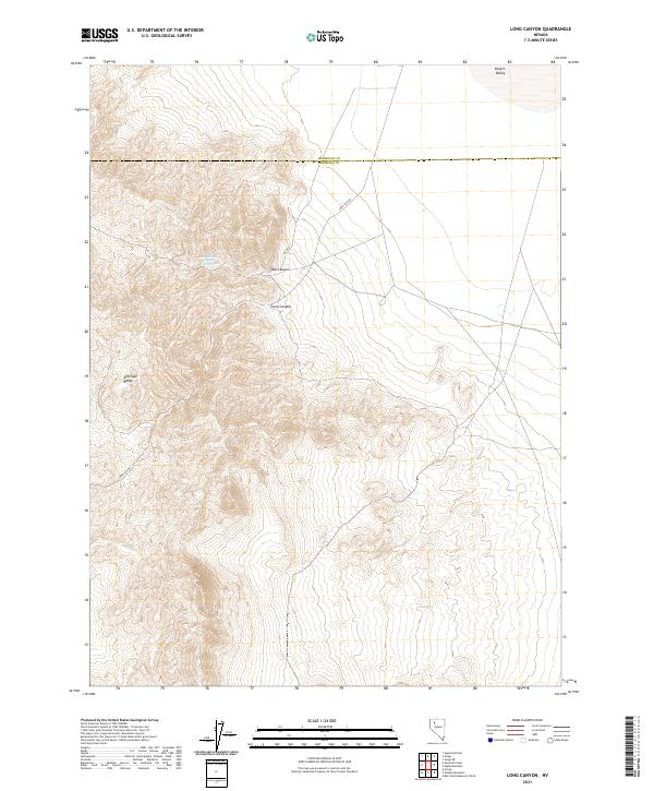 2021 Long Canyon2021 Print · USGSThe high desert of northwestern Nevada is documented here in the early twenty-first century as it straddles the Humboldt and Pershing county line. Researchers can trace the rugged drainage of Long Canyon and locate vital water at Box Canyon Spring Number Two near the Antelope Range.
 - 2021 Map of Smelser Pass, 2021 Print
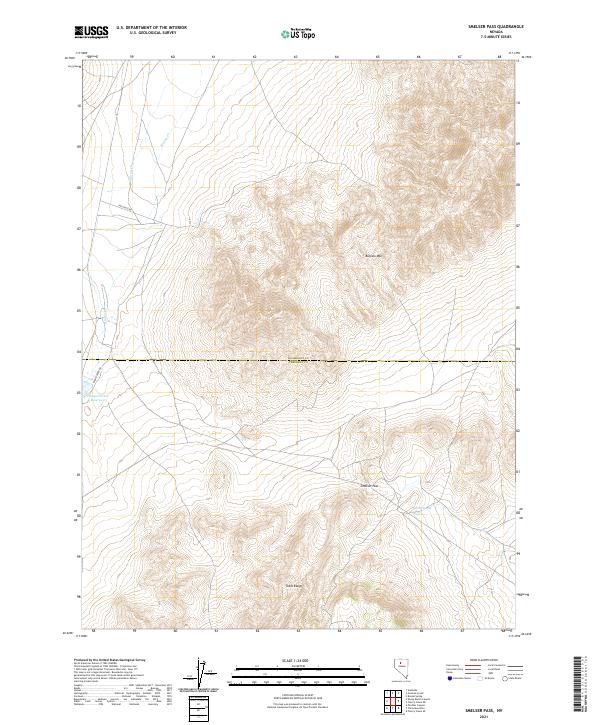 2021 Smelser Pass2021 Print · USGSHumboldt and Pershing counties meet in this high-desert landscape in 2021, centered on the dramatic terrain of the Tobin Range. Researchers can trace the water sources essential to the region at Pumpernickel Reservoir and Summit Spring or follow the route through Smelser Pass.
 - 2021 Map of McDermitt, 2021 Print
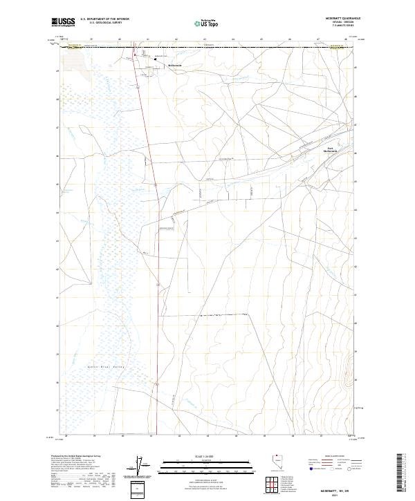 2021 McDermitt2021 Print · USGSThe high desert borderlands of northern Nevada come into focus during the early twenty-first century, centered on the historic crossroads of McDermitt. Researchers can trace old routes like Old Reservation Rd, locate the McDermitt Cem, and study the hydrology of the Quinn River.
 - 2021 Map of Layton Spring, 2021 Print
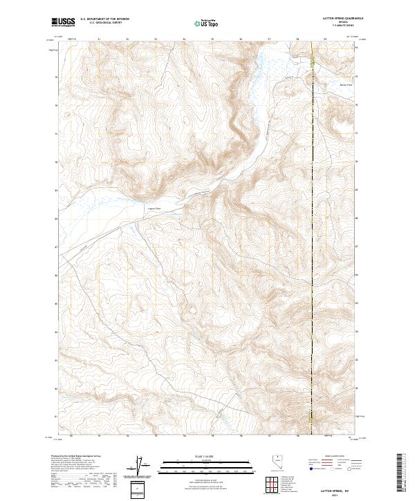 2021 Layton Spring2021 Print · USGSHumboldt County ranching territory is documented here in the early twenty-first century, showing the remote high-desert water sources and range lands. Researchers can trace land use through features like Layton Field, Button Field, and the S Fork Little Humboldt River.
 - 2021 Map of Gumboot Lake, 2021 Print
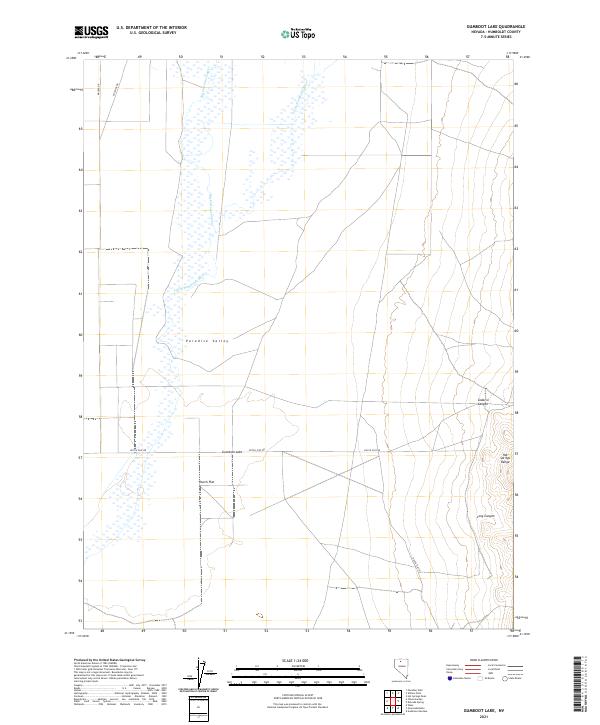 2021 Gumboot Lake2021 Print · USGSHumboldt County’s high desert reaches are captured here in the early twenty-first century, centered on the river-fed basin of Paradise Valley. Researchers can trace old routes like Dutch Flat Rd and the seasonal hydrology of Gumboot Lake.
 - 2021 Map of Sulphur, 2021 Print
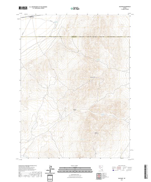 2021 Sulphur2021 Print · USGSThe northern reaches of the Pershing County desert are documented in this recent survey, centered on the settlement of Sulphur. Geologists and researchers can trace the contours of the Kamma Mountains and locate vital water sources like Wild Rose Spring and Lander Spring.
 - 2021 Map of Mud Spring Canyon, 2021 Print
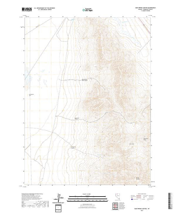 2021 Mud Spring Canyon2021 Print · USGSHumboldt County’s high-desert landscape is documented here in the early twenty-first century as the high desert meets the Santa Rosa Range. Researchers can trace remote routes like Sand Pass Rd and locate vital water points including Mud Spring and Sandbank Spring.
 - 2021 Map of Sonoma Canyon, 2021 Print
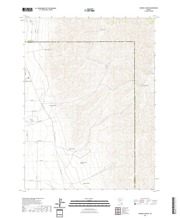 2021 Sonoma Canyon2021 Print · USGSThe high-desert frontier of Pershing and Humboldt counties is recorded here in the early twenty-first century as the desert floor meets the mountains. Researchers can trace the drainage systems of Sonoma Canyon and Willow Springs Canyon alongside rural corridors like Grass Valley Rd.
 - 2021 Map of Hot Pot, 2021 Print
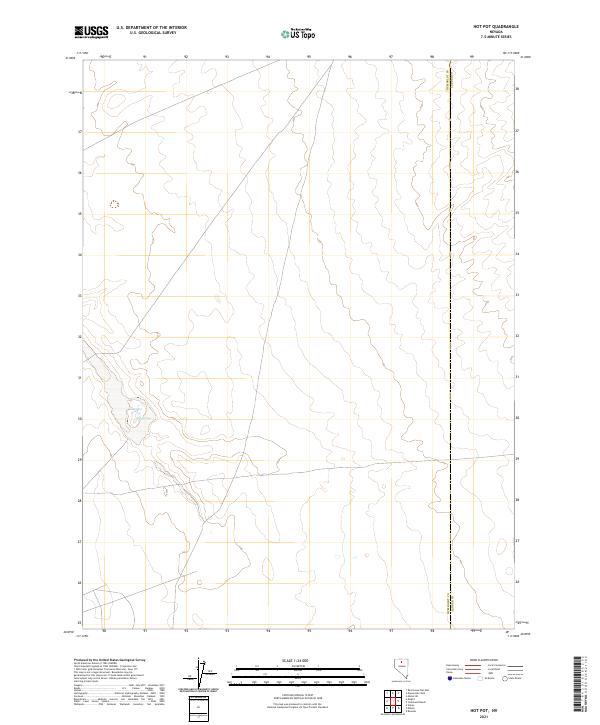 2021 Hot Pot2021 Print · USGSHumboldt and Lander Counties remain remarkably open in this recent survey of the Nevada desert. Researchers can trace the exact county line and locate geothermal landmarks like Hot Pot and the Hot Springs near the township borders.
 - 2021 Map of Awakening Peak, 2021 Print
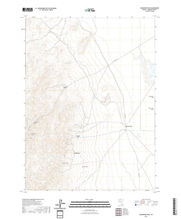 2021 Awakening Peak2021 Print · USGSHumboldt County’s high desert landscape is shown here in the 2020s, centered on the mining-era remnants of the Slumbering Hills. Researchers can trace the rugged drainages of Siskiyou Gulch and the small settlements at Awakening and Daveytown.
Showing maps 1-25 of 200
Top cities of Humboldt County
- Winnemucca historical maps
- Grass Valley historical maps
- Fort McDermitt historical maps
- Golconda historical maps
- Paradise Valley historical maps
- Orovada historical maps
See more
Frequently asked questions
- What are the different types of historical maps available for Humboldt County?
- What is the oldest map of Humboldt County?
- Where can I purchase historical maps of Humboldt County for my home or office?
- Where can I download high-res historical maps of Humboldt County?
- Are there historical topographic maps available for Humboldt County?
- Is there historical aerial imagery available for Humboldt County?
- Where are historical maps of Humboldt County sourced from?