2020s Maps of Merrimack County, New Hampshire
Explore 58 historic maps of Merrimack County from the 2020s. These maps offer a rare glimpse into what life looked like during the 2020s — showing old roads, neighborhoods, homes, and landmarks that have changed or disappeared over time.
Whether you're researching your family's past, planning a metal detecting trip, or studying how Merrimack County's landscape evolved across the 2020s, these high-resolution maps are a powerful tool for exploring the history of this region.
- Focus on a specific era: All maps on this page are from the 2020s, giving you a focused view of this time period.
- See what’s changed: Compare century-old streets, trails, and buildings to today's modern landscape using overlays and satellite layers.
- Research with precision: Use these maps for genealogy, historical research, land use analysis, or educational projects.
- View, download, or print: Maps are fully viewable online in high resolution, and can be downloaded or printed for your own records.
Start exploring Merrimack County's history through authentic maps from the 2020s. This is your window into the past.
Merrimack County, NH maps
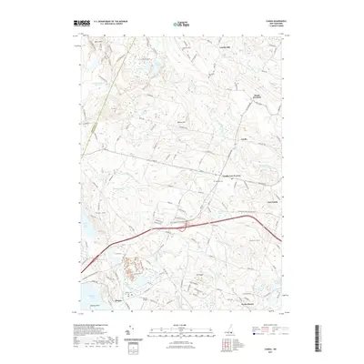
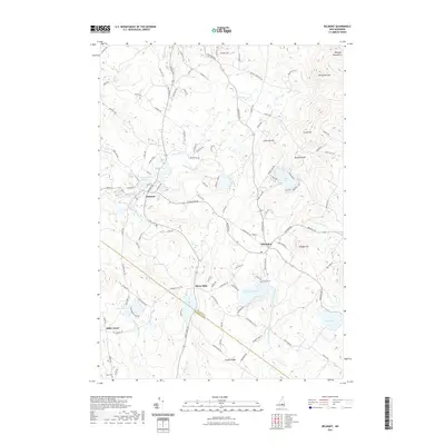
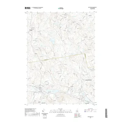
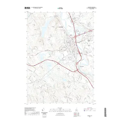
(58)- 2021 Map of Hopkinton, 2021 Print
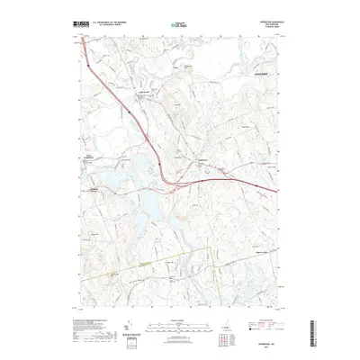 2021 Hopkinton2021 Print · USGSCovers Merrimack County, including Concord, Weare, and other nearby areas
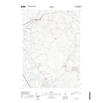
 - 2021 Map of Danbury, 2021 Print
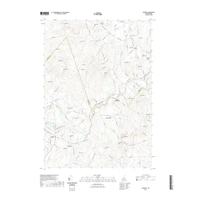 2021 Danbury2021 Print · USGSCovers Merrimack County, including Bristol, Alexandria, and other nearby areas
 - 2021 Map of Weare, 2021 Print
 2021 Weare2021 Print · USGSCovers Merrimack County, including Goffstown, Weare, and other nearby areas
 - 2021 Map of Grafton, 2021 Print
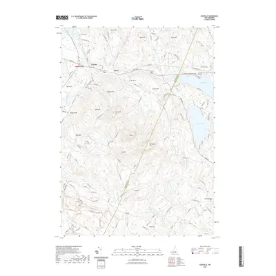
 2021 Grafton2021 Print · USGSCovers Merrimack County, including Alexandria, Grafton, and other nearby areas
 - 2021 Map of Loudon, 2021 Print
 2021 Loudon2021 Print · USGSCovers Merrimack County, including Concord, Loudon, and other nearby areas
 - 2021 Map of Penacook, 2021 Print
 2021 Penacook2021 Print · USGSCovers Merrimack County, including Concord, Northfield, and other nearby areas
 - 2021 Map of Candia, 2021 Print
 2021 Candia2021 Print · USGSCovers Merrimack County, including Hooksett, Auburn, and other nearby areas
 - 2021 Map of Bradford, 2021 Print
 2021 Bradford2021 Print · USGSCovers Merrimack County, including Warner, Newbury, and other nearby areas
 - 2021 Map of Belmont, 2021 Print
 2021 Belmont2021 Print · USGSCovers Merrimack County, including Gilford, Belmont, and other nearby areas
 - 2021 Map of Hillsboro Upper Village, 2021 Print
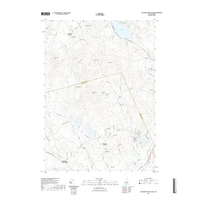 2021 Hillsboro Upper Village2021 Print · USGSCovers Merrimack County, including Henniker, Warner, and other nearby areas
 - 2021 Map of Gossville, 2021 Print
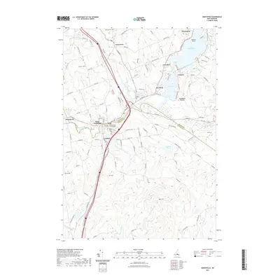
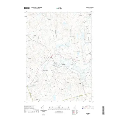
 2021 Gossville2021 Print · USGSCovers Merrimack County, including Epsom, Allenstown, and other nearby areas
 - 2021 Map of Bristol, 2021 Print
 2021 Bristol2021 Print · USGSCovers Merrimack County, including Franklin, Bristol, and other nearby areas
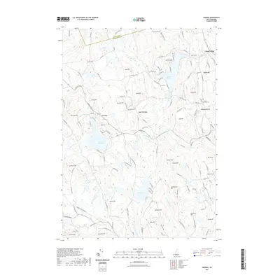
 - 2021 Map of Northfield, 2021 Print
 2021 Northfield2021 Print · USGSCovers Merrimack County, including Franklin, Belmont, and other nearby areas
 - 2021 Map of New London, 2021 Print
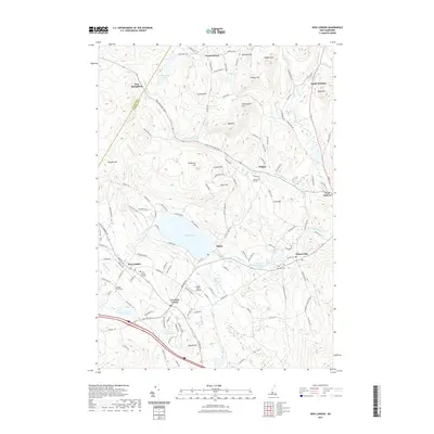 2021 New London2021 Print · USGSCovers Merrimack County, including New London, Andover, and other nearby areas
 - 2021 Map of Parker Mountain, 2021 Print
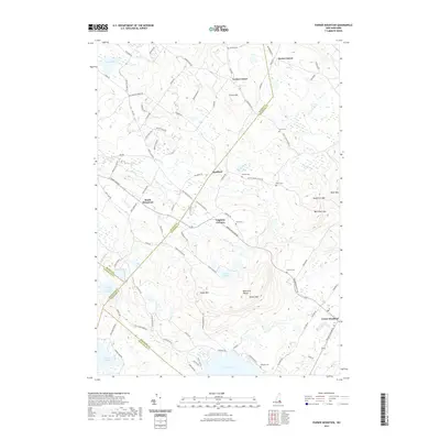 2021 Parker Mountain2021 Print · USGSCovers Merrimack County, including Farmington, Barnstead, and other nearby areas
 - 2021 Map of Andover, 2021 Print
 2021 Andover2021 Print · USGSCovers Merrimack County, including Warner, Andover, and other nearby areas
 - 2021 Map of Deering, 2021 Print
 2021 Deering2021 Print · USGSCovers Merrimack County, including Weare, New Boston, and other nearby areas
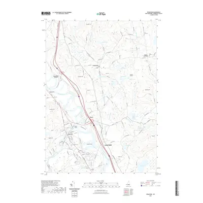
 - 2021 Map of Pittsfield, 2021 Print
 2021 Pittsfield2021 Print · USGSCovers Merrimack County, including Loudon, Barnstead, and other nearby areas
 - 2021 Map of Goffstown, 2021 Print
 2021 Goffstown2021 Print · USGSCovers Merrimack County, including Manchester, Goffstown, and other nearby areas
 - 2021 Map of Franklin, 2021 Print
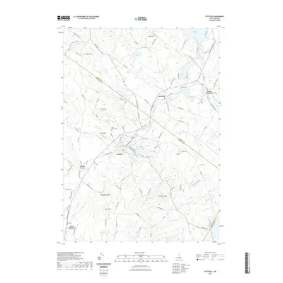
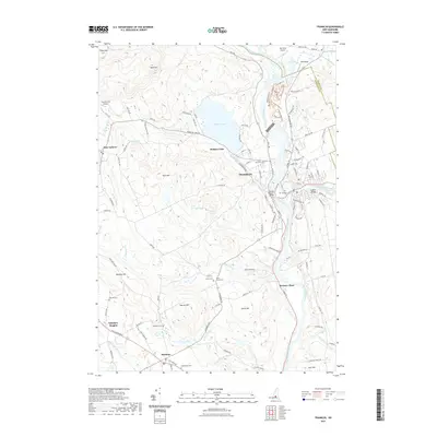 2021 Franklin2021 Print · USGSCovers Merrimack County, including Franklin, Northfield, and other nearby areas
 - 2021 Map of Henniker, 2021 Print
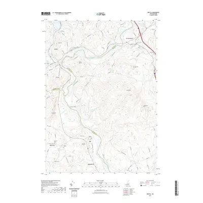
 2021 Henniker2021 Print · USGSCovers Merrimack County, including Weare, Hopkinton, and other nearby areas
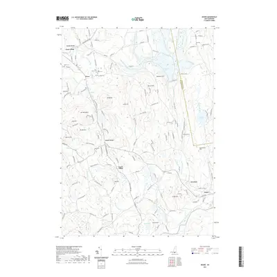
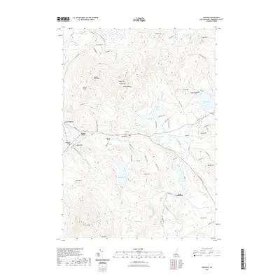
 - 2021 Map of Webster, 2021 Print
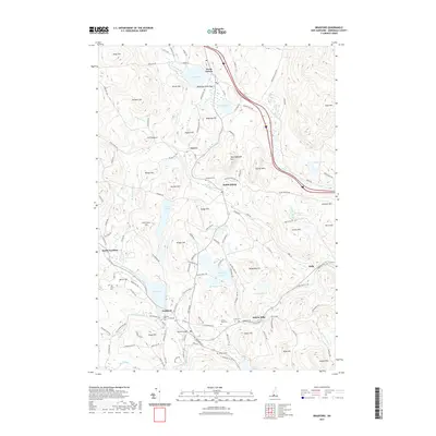
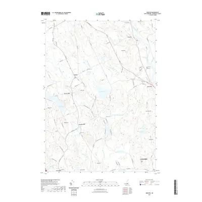 2021 Webster2021 Print · USGSCovers Merrimack County, including Concord, Hopkinton, and other nearby areas
 - 2021 Map of Concord, 2021 Print
 2021 Concord2021 Print · USGSCovers Merrimack County, including Concord, Bow, and other nearby areas
 - 2021 Map of Suncook, 2021 Print
 2021 Suncook2021 Print · USGSCovers Merrimack County, including Concord, Bow, and other nearby areas
 - 2021 Map of Manchester North, 2021 Print
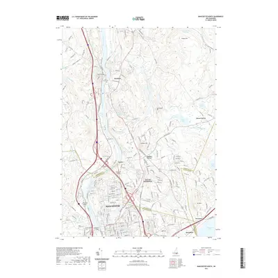 2021 Manchester North2021 Print · USGSCovers Merrimack County, including Manchester, Hooksett, and other nearby areas
Showing maps 1-25 of 58
Top cities of Merrimack County
- Concord historical maps
- Hooksett historical maps
- Franklin historical maps
- Bow historical maps
- Pembroke historical maps
- Hopkinton historical maps
See more
Frequently asked questions
- What are the different types of historical maps available for Merrimack County?
- What is the oldest map of Merrimack County?
- Where can I purchase historical maps of Merrimack County for my home or office?
- Where can I download high-res historical maps of Merrimack County?
- Are there historical topographic maps available for Merrimack County?
- Is there historical aerial imagery available for Merrimack County?
- Where are historical maps of Merrimack County sourced from?