Old Maps of Quay County, New Mexico for Hiking & Exploration
Hike through history with 156 historic maps of Quay County. Explore old trails, ghost towns, and forgotten backroads — perfect for outdoor adventurers and local explorers.
- Rediscover forgotten places: Map out old mining camps, roads, and footpaths that no longer exist on modern maps.
- Layer with modern tools: Combine with LiDAR or satellite views to plan hikes through historical terrain.
- Made for exploration: Popular among hikers, overlanders, and local history lovers.
Use these maps to find adventure and explore the hidden past of Quay County.
Quay County, NM maps
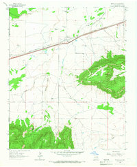
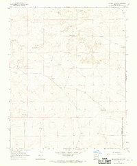
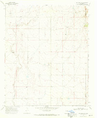
(156)- 1930 Map of Tucumcari
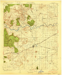 1930 Tucumcari1930 Print · USGSCovers Quay County, including Tucumcari, Hargis, and other nearby areas2 unique versions available
 - 1954 Map of Santa Fe, 1963 Print
 1954 Santa Fe1963 Print · USGSCovers Quay County, including Santa Fe, Las Vegas, and other nearby areas4 unique versions available
 - 1954 Map of Fort Sumner, 1964 Print
 1954 Fort Sumner1964 Print · USGSCovers Quay County, including Santa Rosa, Estancia, and other nearby areas3 unique versions available
 - 1954 Map of Tucumcari, 1965 Print
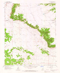
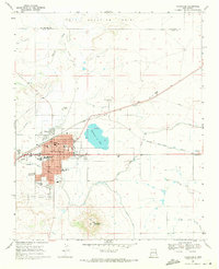
 1954 Tucumcari1965 Print · USGSCovers Quay County, including Tucumcari, Logan, and other nearby areas2 unique versions available
 - 1954 Map of Clovis, 1966 Print
 1954 Clovis1966 Print · USGSCovers Quay County, including Clovis, Hereford, and other nearby areas4 unique versions available
 - 1957 Map of Hammond Ranch, 1958 Print
 1957 Hammond Ranch1958 Print · USGSCovers Quay County, including Curry County, United States, and other nearby areas
 - 1958 Map of Fort Sumner
 1958 Fort Sumner1958 Print · USGSCovers Quay County, including Santa Rosa, Estancia, and other nearby areas
 - 1958 Map of Santa Fe
 1958 Santa Fe1958 Print · USGSCovers Quay County, including Santa Fe, Las Vegas, and other nearby areas
 - 1958 Map of Clovis
 1958 Clovis1958 Print · USGSCovers Quay County, including Clovis, Hereford, and other nearby areas
 - 1958 Map of Tucumcari
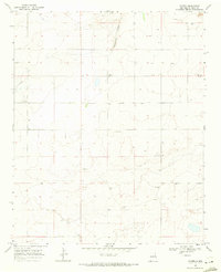
 1958 Tucumcari1958 Print · USGSCovers Quay County, including Tucumcari, Logan, and other nearby areas
 - 1962 Map of Logan, 1966 Print
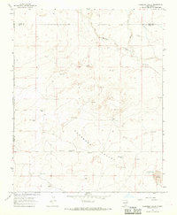
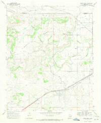
 1962 Logan1966 Print · USGSCovers Quay County, including Logan, Sand Springs, and other nearby areas
 - 1964 Map of Muniz Canyon, 1966 Print
 1964 Muniz Canyon1966 Print · USGSCovers Quay County, including San Miguel County, United States, and other nearby areas
 - 1964 Map of Gate Canyon, 1967 Print
 1964 Gate Canyon1967 Print · USGSCovers Quay County, including Guadalupe County, United States, and other nearby areas
 - 1964 Map of Montoya, 1967 Print
 1964 Montoya1967 Print · USGSCovers Quay County, including Montoya, United States, and other nearby areas
 - 1964 Map of Ortega Tank, 1967 Print
 1964 Ortega Tank1967 Print · USGSCovers Quay County, including San Miguel County, Guadalupe County, and other nearby areas
 - 1966 Map of Cherokee Valley, 1969 Print
 1966 Cherokee Valley1969 Print · USGSCovers Quay County, including Harding County, Union County, and other nearby areas
 - 1966 Map of Lockney, 1969 Print
 1966 Lockney1969 Print · USGSCovers Quay County, including United States, New Mexico, and other nearby areas
 - 1966 Map of Mc Carty Ranch, 1969 Print
 1966 Mc Carty Ranch1969 Print · USGSCovers Quay County, including Brown Place, Harding County, and other nearby areas
 - 1966 Map of Mc Cloy Ranch, 1969 Print
 1966 Mc Cloy Ranch1969 Print · USGSCovers Quay County, including Harding County, Union County, and other nearby areas2 unique versions available
 - 1967 Map of Trinchera Creek, 1971 Print
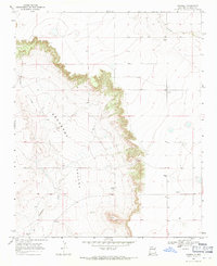
 1967 Trinchera Creek1971 Print · USGSCovers Quay County, including San Miguel County, United States, and other nearby areas
 - 1967 Map of Liberty Mesa, 1971 Print
 1967 Liberty Mesa1971 Print · USGSCovers Quay County, including Tucumcari, Hargis, and other nearby areas
 - 1967 Map of Tucumcari, 1971 Print
 1967 Tucumcari1971 Print · USGSCovers Quay County, including Tucumcari, San Miguel County, and other nearby areas
 - 1968 Map of Hassell, 1971 Print
 1968 Hassell1971 Print · USGSCovers Quay County, including Hassell, United States, and other nearby areas
 - 1968 Map of Twin Mesa NW, 1971 Print
 1968 Twin Mesa NW1971 Print · USGSCovers Quay County, including De Baca County, United States, and other nearby areas
 - 1968 Map of Porter, 1971 Print
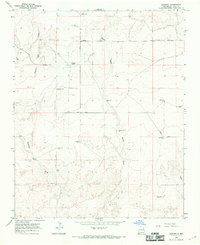
 1968 Porter1971 Print · USGSCovers Quay County, including San Jon, Porter, and other nearby areas
Showing maps 1-25 of 156
Top cities of Quay County
Frequently asked questions
- What are the different types of historical maps available for Quay County?
- What is the oldest map of Quay County?
- Where can I purchase historical maps of Quay County for my home or office?
- Where can I download high-res historical maps of Quay County?
- Are there historical topographic maps available for Quay County?
- Is there historical aerial imagery available for Quay County?
- Where are historical maps of Quay County sourced from?