2000s (21st Century) Maps of Quay County, New Mexico
Explore 72 historic maps of Quay County from the 2000s (21st Century). These maps offer a rare glimpse into what life looked like during the 2000s — showing old roads, neighborhoods, homes, and landmarks that have changed or disappeared over time.
Whether you're researching your family's past, planning a metal detecting trip, or studying how Quay County's landscape evolved across the 2000s, these high-resolution maps are a powerful tool for exploring the history of this region.
- Focus on a specific era: All maps on this page are from the 2000s, giving you a focused view of this time period.
- See what’s changed: Compare century-old streets, trails, and buildings to today's modern landscape using overlays and satellite layers.
- Research with precision: Use these maps for genealogy, historical research, land use analysis, or educational projects.
- View, download, or print: Maps are fully viewable online in high resolution, and can be downloaded or printed for your own records.
Start exploring Quay County's history through authentic maps from the 2000s. This is your window into the past.
Quay County, NM maps
(72)- 2022 Map of Rock Camp, 2022 Print
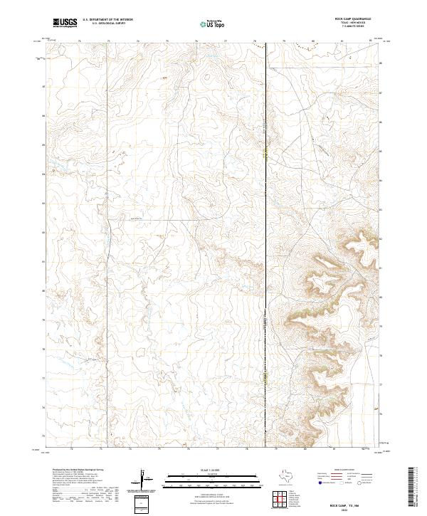 2022 Rock Camp2022 Print · USGSCovers Quay County, including Deaf Smith County, United States, and other nearby areas
 - 2022 Map of Sanchez Springs, 2022 Print
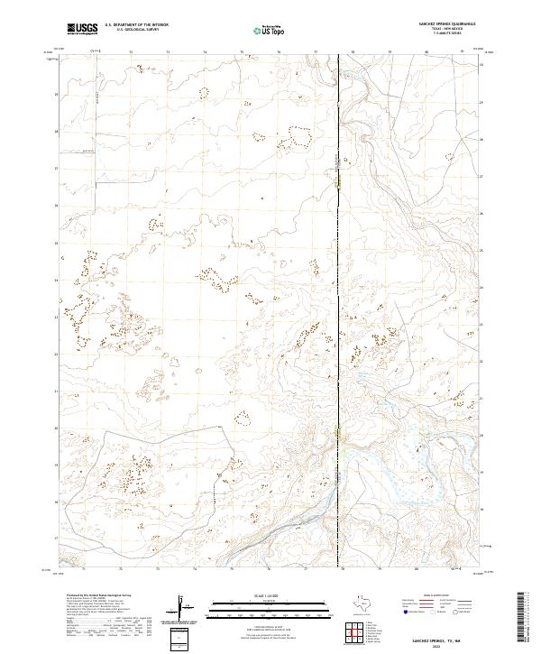 2022 Sanchez Springs2022 Print · USGSCovers Quay County, including Oldham County, United States, and other nearby areas
 - 2023 Map of House, 2023 Print
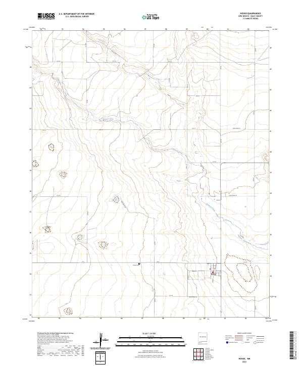 2023 House2023 Print · USGSCovers Quay County, including House, United States, and other nearby areas
 - 2023 Map of Circle S Mesa, 2023 Print
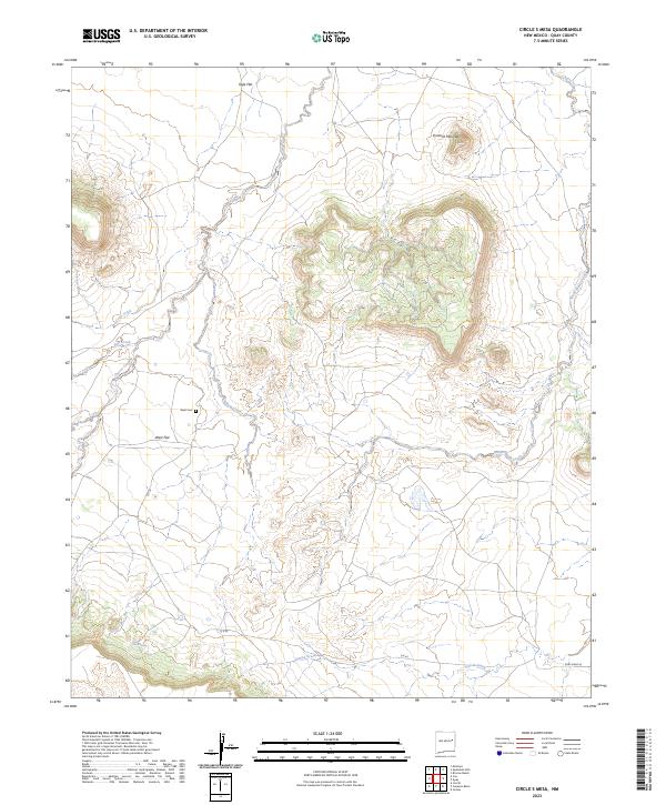 2023 Circle S Mesa2023 Print · USGSCovers Quay County, including United States, New Mexico, and other nearby areas
 - 2023 Map of Ima, 2023 Print
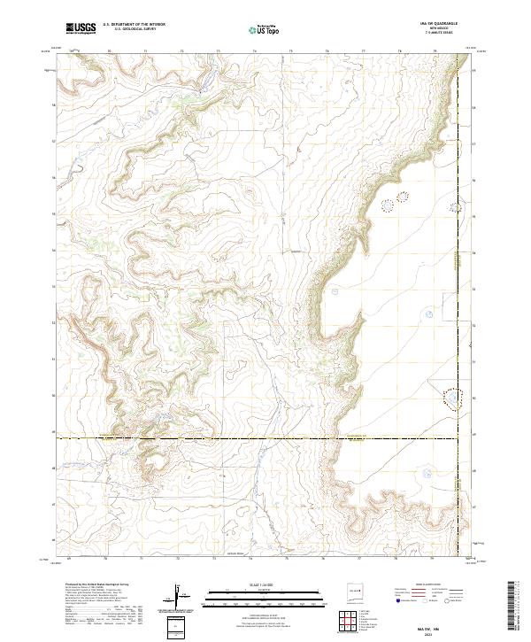
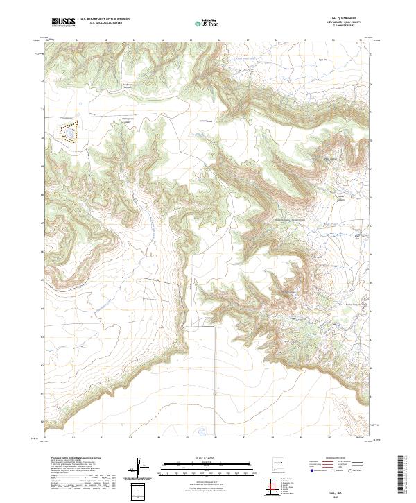 2023 Ima2023 Print · USGSCovers Quay County, including United States, New Mexico, and other nearby areas
 - 2023 Map of Hassell, 2023 Print
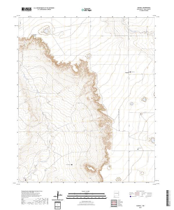 2023 Hassell2023 Print · USGSCovers Quay County, including Hassell, United States, and other nearby areas
 - 2023 Map of McAlister, 2023 Print
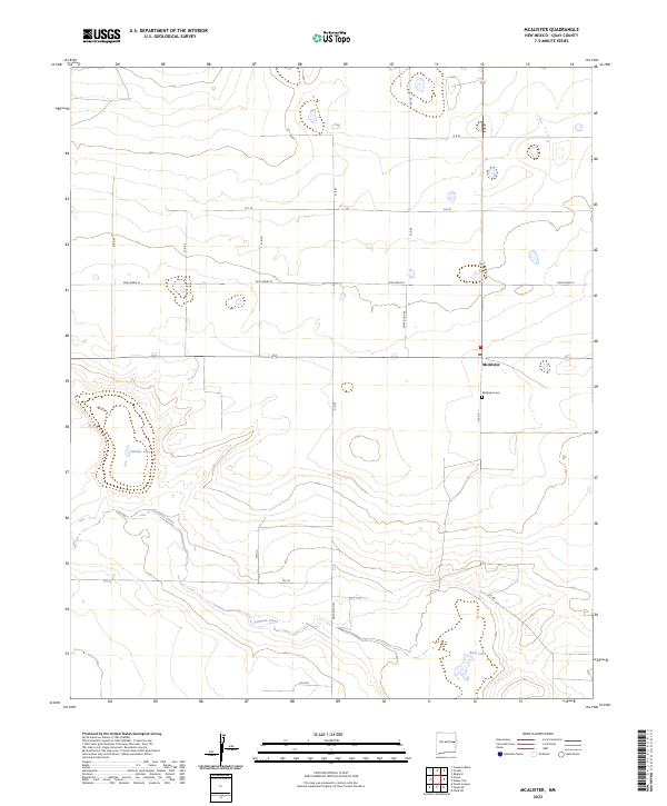 2023 McAlister2023 Print · USGSCovers Quay County, including McAlister, United States, and other nearby areas
 - 2023 Map of Quay, 2023 Print
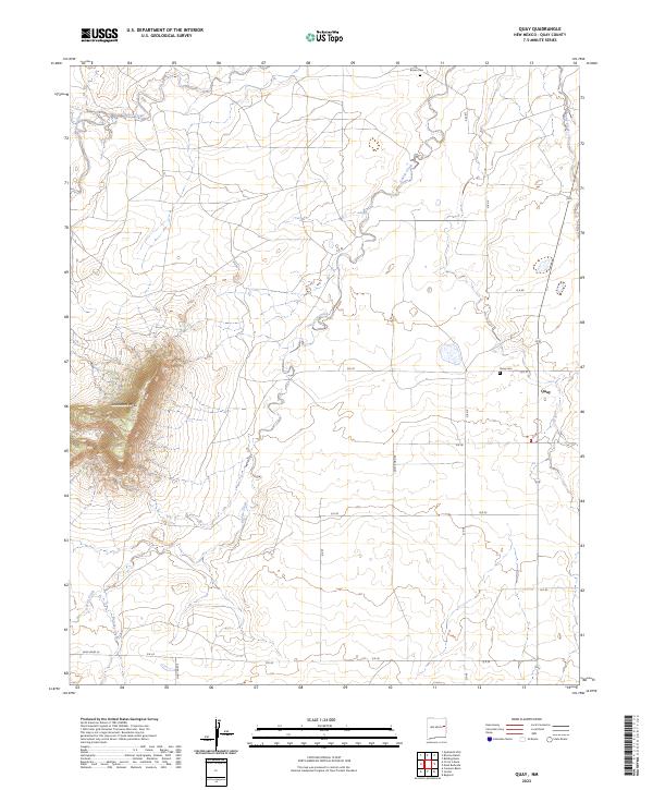 2023 Quay2023 Print · USGSCovers Quay County, including Quay, United States, and other nearby areas
 - 2023 Map of Forrest, 2023 Print
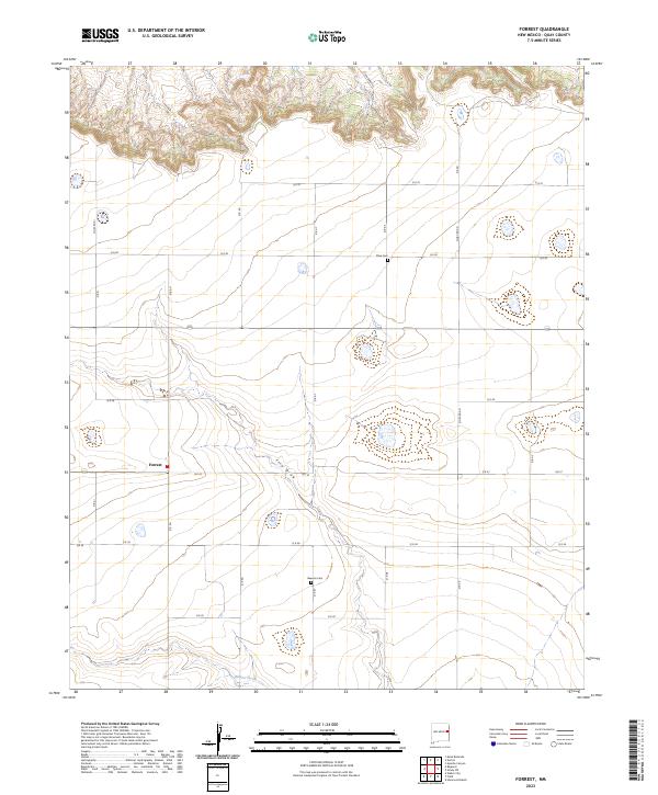 2023 Forrest2023 Print · USGSCovers Quay County, including Forrest, United States, and other nearby areas
 - 2023 Map of Ima SW, 2023 Print
 2023 Ima SW2023 Print · USGSCovers Quay County, including De Baca County, Guadalupe County, and other nearby areas
 - 2023 Map of Hammond Ranch, 2023 Print
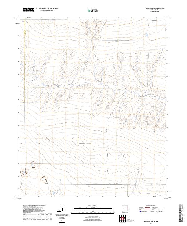 2023 Hammond Ranch2023 Print · USGSCovers Quay County, including Curry County, United States, and other nearby areas
 - 2023 Map of Wheatland, 2023 Print
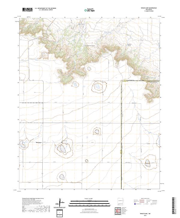 2023 Wheatland2023 Print · USGSCovers Quay County, including Wheatland, Curry County, and other nearby areas
 - 2023 Map of House SE, 2023 Print
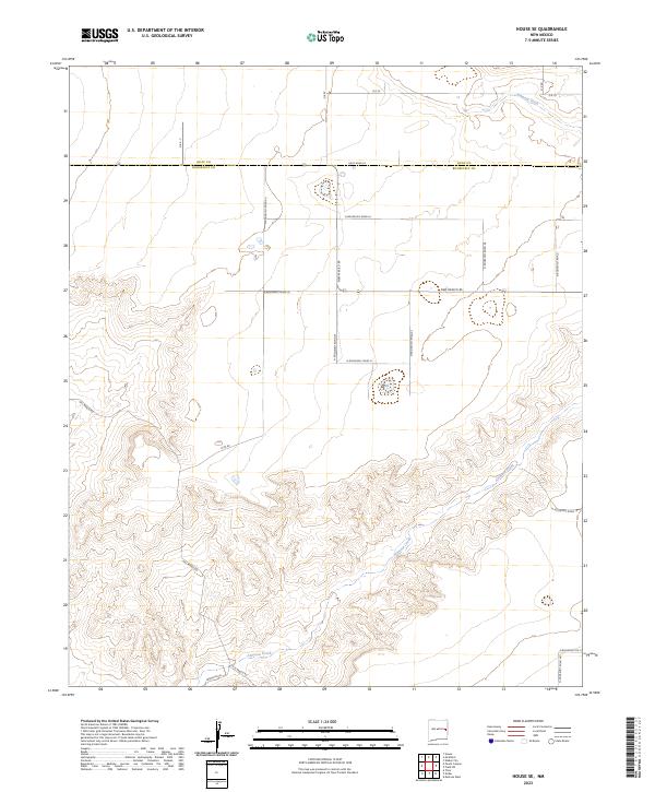 2023 House SE2023 Print · USGSCovers Quay County, including Roosevelt County, United States, and other nearby areas
 - 2023 Map of Field SW, 2023 Print
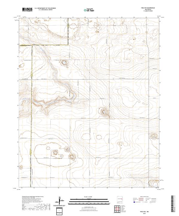 2023 Field SW2023 Print · USGSCovers Quay County, including Curry County, Roosevelt County, and other nearby areas
 - 2023 Map of Weber City, 2023 Print
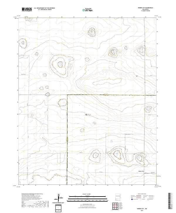 2023 Weber City2023 Print · USGSCovers Quay County, including Weber City, Curry County, and other nearby areas
 - 2023 Map of Cunavea Basin, 2023 Print
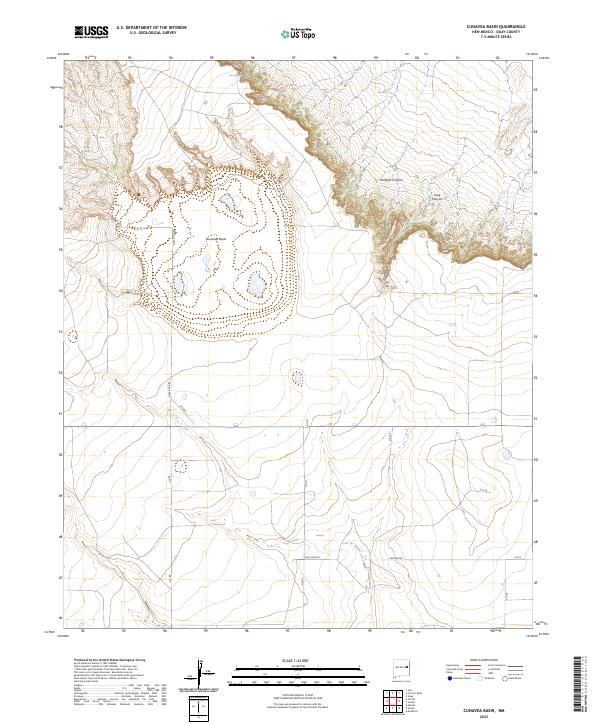 2023 Cunavea Basin2023 Print · USGSCovers Quay County, including United States, New Mexico, and other nearby areas
 - 2023 Map of Twin Mesa NW, 2023 Print
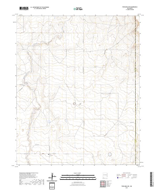 2023 Twin Mesa NW2023 Print · USGSCovers Quay County, including De Baca County, United States, and other nearby areas
 - 2023 Map of Jordan, 2023 Print
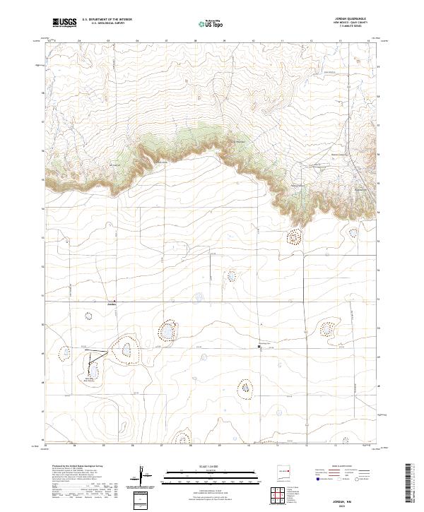 2023 Jordan2023 Print · USGSCovers Quay County, including Jordan, United States, and other nearby areas
 - 2023 Map of Ima SE, 2023 Print
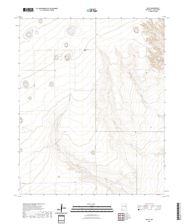 2023 Ima SE2023 Print · USGSCovers Quay County, including United States, New Mexico, and other nearby areas
 - 2023 Map of Twin Mesa, 2023 Print
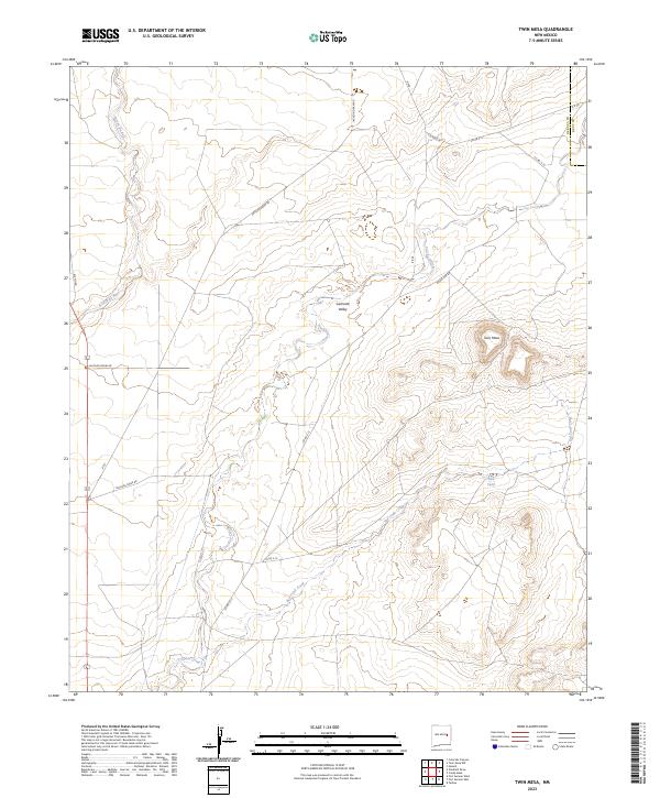 2023 Twin Mesa2023 Print · USGSCovers Quay County, including De Baca County, United States, and other nearby areas
 - 2023 Map of Grady, 2023 Print
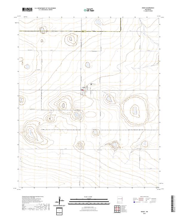 2023 Grady2023 Print · USGSCovers Quay County, including Grady, Curry County, and other nearby areas
 - 2023 Map of Field, 2023 Print
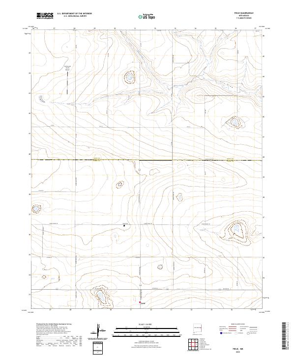 2023 Field2023 Print · USGSCovers Quay County, including Field, Curry County, and other nearby areas
 - 2023 Map of Peach Canyon, 2023 Print
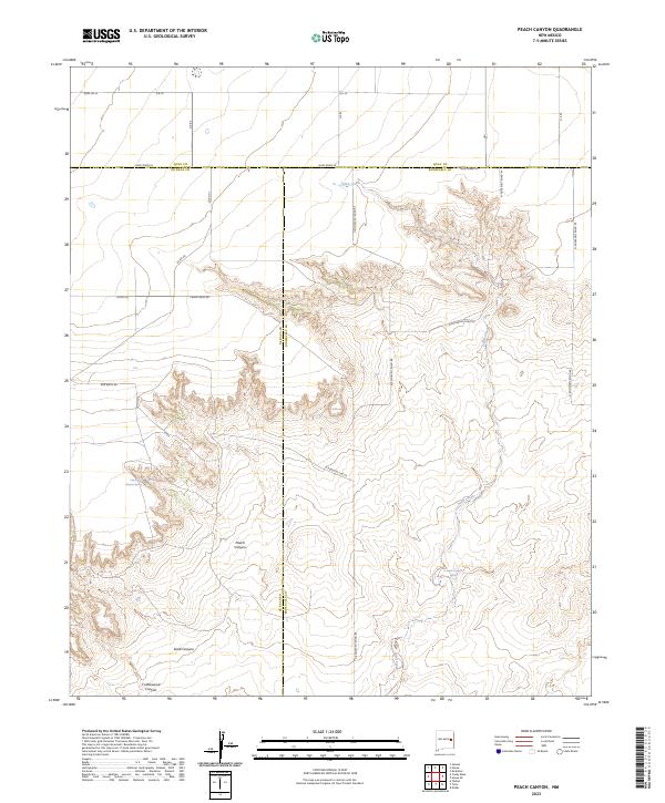 2023 Peach Canyon2023 Print · USGSCovers Quay County, including Roosevelt County, De Baca County, and other nearby areas
 - 2023 Map of Candy Mesa, 2023 Print
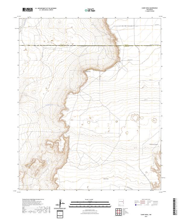 2023 Candy Mesa2023 Print · USGSCovers Quay County, including De Baca County, United States, and other nearby areas
 - 2023 Map of Mesa Redonda, 2023 Print
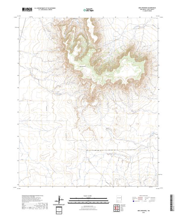 2023 Mesa Redonda2023 Print · USGSCovers Quay County, including United States, New Mexico, and other nearby areas
Showing maps 1-25 of 72
Top cities of Quay County
Frequently asked questions
- What are the different types of historical maps available for Quay County?
- What is the oldest map of Quay County?
- Where can I purchase historical maps of Quay County for my home or office?
- Where can I download high-res historical maps of Quay County?
- Are there historical topographic maps available for Quay County?
- Is there historical aerial imagery available for Quay County?
- Where are historical maps of Quay County sourced from?