2010s Maps of Quay County, New Mexico
Explore 218 historic maps of Quay County from the 2010s. These maps offer a rare glimpse into what life looked like during the 2010s — showing old roads, neighborhoods, homes, and landmarks that have changed or disappeared over time.
Whether you're researching your family's past, planning a metal detecting trip, or studying how Quay County's landscape evolved across the 2010s, these high-resolution maps are a powerful tool for exploring the history of this region.
- Focus on a specific era: All maps on this page are from the 2010s, giving you a focused view of this time period.
- See what’s changed: Compare century-old streets, trails, and buildings to today's modern landscape using overlays and satellite layers.
- Research with precision: Use these maps for genealogy, historical research, land use analysis, or educational projects.
- View, download, or print: Maps are fully viewable online in high resolution, and can be downloaded or printed for your own records.
Start exploring Quay County's history through authentic maps from the 2010s. This is your window into the past.
Quay County, NM maps
(218)- 2010 Map of Twin Mesa, 2010 Print
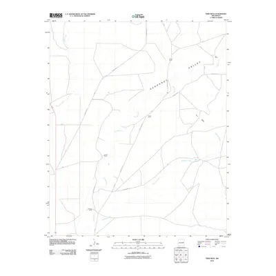 2010 Twin Mesa2010 Print · USGSThe high plains of De Baca County are captured here in the early twenty-first century, showing a landscape of working New Mexico ranches and wide valleys. Genealogists and local historians can locate specific family-named sites like Wright Ranch, Buckeye Ranch, and the land surrounding Twin Mesa.
 - 2010 Map of Hassell, 2010 Print
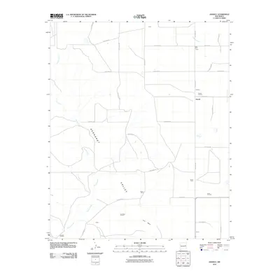 2010 Hassell2010 Print · USGSQuay County ranching country is mapped here in the early twenty-first century, showing the intersection of local history and topography. Genealogists can locate several family-named landmarks and burial sites, including Hassell Cemetery, Lone Mesa, and Bomar.
 - 2010 Map of Twin Mesa NW, 2010 Print
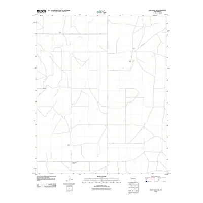 2010 Twin Mesa NW2010 Print · USGSDe Baca County ranching country is captured here in the early 2000s, showing a landscape defined by watercourses and large family estates. Researchers can locate established landmarks like Locust Grove Cemetery, Carter Ranch, and the winding Arroyo de Anil.
 - 2010 Map of Candy Mesa, 2010 Print
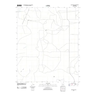 2010 Candy Mesa2010 Print · USGSDe Baca County ranching country is captured here during the early twenty-first century, showing a remote landscape of mesas and valleys. Researchers can locate established homesteads like Knighten Ranch and trace the paths of Truchas Creek and Red Tank Creek.
 - 2010 Map of Ima SW, 2010 Print
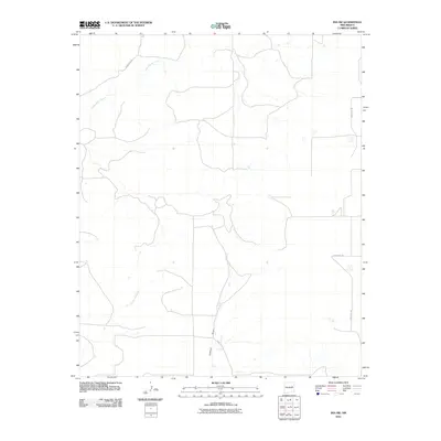 2010 Ima SW2010 Print · USGSGuadalupe County at the dawn of the millennium remains a place of quiet arroyos and remote ranch roads. Genealogists and local historians can trace the paths of Alamogordo Creek, Jackson Draw, and Arroyo Colorado across this ranching landscape.
 - 2010 Map of Apache Canyon, 2010 Print
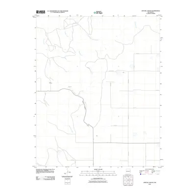 2010 Apache Canyon2010 Print · USGSQuay County, New Mexico, is captured in this modern survey of its high plains and deep-cut drainage systems. Researchers can trace rural lineages at Brown Cemetery or locate the small settlements of Brochard and Duke near the winding Apache Creek.
 - 2010 Map of Weber City, 2010 Print
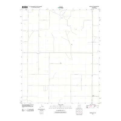 2010 Weber City2010 Print · USGSEastern New Mexico ranching and farming lands are documented here in the early twenty-first century. Genealogists and local historians can locate Yeakley Cemetery and the settlement of Weber City while tracing rural water sources like Law Lake.
 - 2010 Map of Day Canyon, 2010 Print
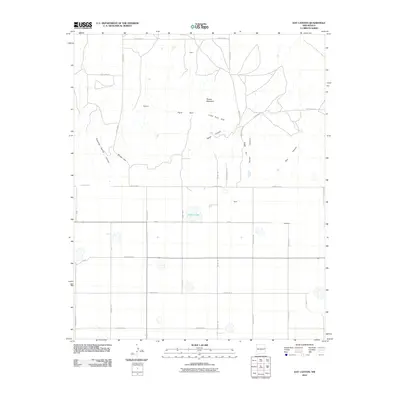 2010 Day Canyon2010 Print · USGSEastern New Mexico's ranching country is captured here in the early twenty-first century, showing the intersection of Quay and Curry Counties. Genealogists and local historians can trace the rural landscape surrounding Buffalo Lake and the small settlements of Rusk and Blackburn.
 - 2010 Map of Field, 2010 Print
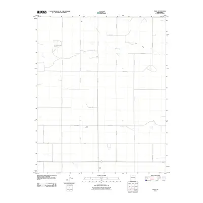 2010 Field2010 Print · USGSThe High Plains of eastern New Mexico at the dawn of the millennium are defined by a precise grid of rural section-line roads and family-named outposts. Local historians can trace the foundations of Field, find the Field Cemetery, and locate the Curtis and Curtis Airport.
 - 2010 Map of Gate Canyon, 2010 Print
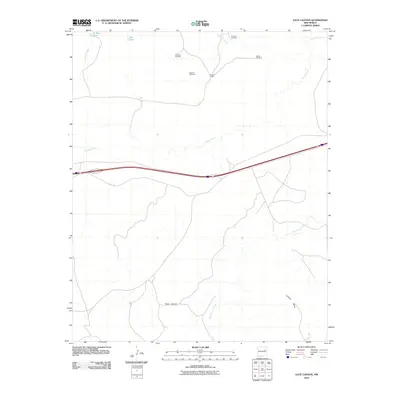 2010 Gate Canyon2010 Print · USGSGuadalupe County ranching country is documented here at the start of the 21st century. Researchers can trace the essential water-and-range infrastructure of the high plains, including Roman Camp and landmarks like Luciano Mesa and Knowles Windmill.
 - 2010 Map of Endee Hill, 2010 Print
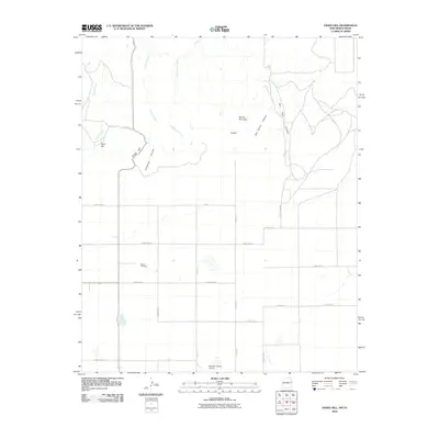 2010 Endee Hill2010 Print · USGSIn this 2010 study of the New Mexico-Texas borderlands, the high plains transition into deep drainages and isolated peaks. Genealogists and local historians can locate Mitchel Cemetery and Purcell or trace the routes of State Line Rd and Trujillo Creek.
 - 2010 Map of House SE, 2010 Print
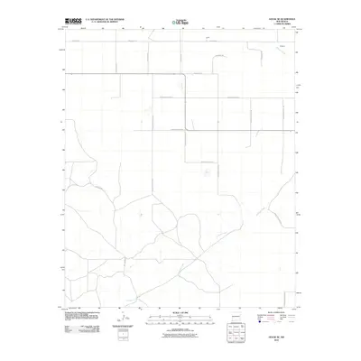 2010 House SE2010 Print · USGSHigh Plains ranching country near the Roosevelt and Quay county line is mapped here during the early twenty-first century. Genealogists and local historians can trace family-named routes and small settlements like Smith, Ferguson, and Hill Ranch Rd along Alamosa Creek.
 - 2010 Map of Peach Canyon, 2010 Print
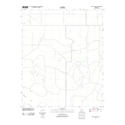 2010 Peach Canyon2010 Print · USGSEastern New Mexico ranching lands are captured here during the first decade of the millennium, showing a landscape defined by deep drainages and section-line roads. Researchers can trace local landmarks like Peach Canyon Spring, Bull Tank Spring, and the path of Sand Canyon.
 - 2010 Map of Ortega Tank, 2010 Print
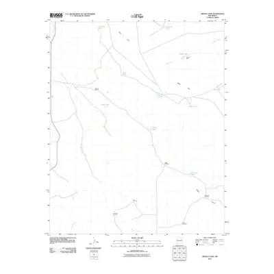 2010 Ortega Tank2010 Print · USGSSan Miguel County ranchlands are documented here in the early twenty-first century, showing a landscape defined by water rights and family heritage. Researchers can trace land use through named landmarks like Ortega Windmills, Aragon Dam, and Tarkington Windmill.
 - 2010 Map of Jordan, 2010 Print
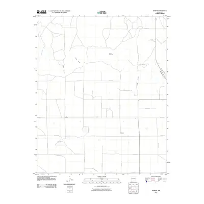 2010 Jordan2010 Print · USGSJordan and the surrounding ranchlands of Quay County appear in high detail during the early 2000s. Researchers can trace rural family roots at Browning Cemetery or locate landmarks like Bar B Ranch, Lawson, and the Akin and Akin Airport.
 - 2010 Map of Quay, 2010 Print
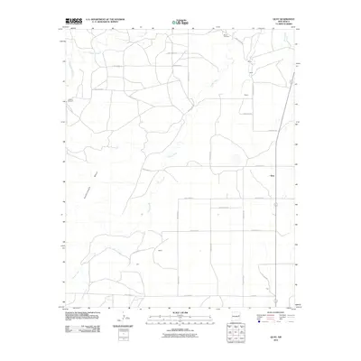 2010 Quay2010 Print · USGSQuay County at the start of the millennium is a landscape of expansive ranchland and quiet rural outposts. Local researchers can trace the locations of historic family-named settlements like Baker, Osteen, and Fish, alongside landmarks like Brown Cemetery.
 - 2010 Map of McAlister, 2010 Print
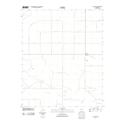 2010 McAlister2010 Print · USGSQuay County ranching country is mapped here in the early twenty-first century, showing the structured grid of the high plains. Genealogists and local historians can locate the McAlister Post Office, McAlister Cemetery, and the drainage of Alamosa Creek.
 - 2010 Map of Mesa Redonda, 2010 Print
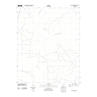 2010 Mesa Redonda2010 Print · USGSQuay County in the early twenty-first century reveals a landscape of high plains ranching and remote settlements. Researchers can trace the rural road network connecting Garrett to the landmark Mesa Redonda and seasonal waters like Barranca Creek.
 - 2010 Map of Wheatland, 2010 Print
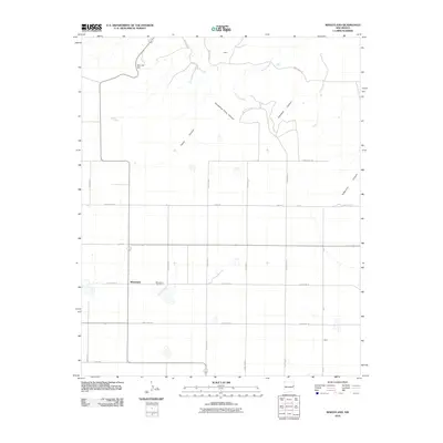 2010 Wheatland2010 Print · USGSWheatland and the surrounding Quay County ranchlands are captured here in the early twenty-first century as a grid of rural roads meets the Caprock. Researchers can locate the Wheatland Cemetery or trace the steep paths of Deadman Canyon and Horseshoe Cave Canyon.
 - 2010 Map of Grady, 2010 Print
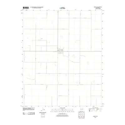 2010 Grady2010 Print · USGSIn the early twenty-first century, this eastern New Mexico landscape is a meticulously organized grid of ranching and farm roads. Local historians can trace the small settlements of Grady, Delaney, and Ware, alongside landmarks like the Grady Post Office.
 - 2010 Map of House, 2010 Print
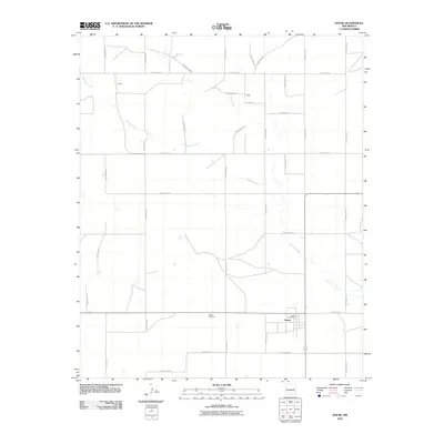 2010 House2010 Print · USGSQuay County ranching country is captured here during the early 2000s, showing the intersection of rural life and the High Plains landscape. Researchers can locate family sites and landmarks like House Cemetery, the House Post Office, and the small community of Upton.
 - 2010 Map of Circle S Mesa, 2010 Print
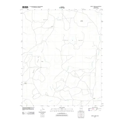 2010 Circle S Mesa2010 Print · USGSQuay County ranching lands and high mesas are captured here in the early twenty-first century, reflecting a landscape shaped by water and vast horizons. Researchers can trace local history through sites like West Cemetery, Fish Ranch, and the lonely Ham Windmill.
 - 2010 Map of Hammond Ranch, 2010 Print
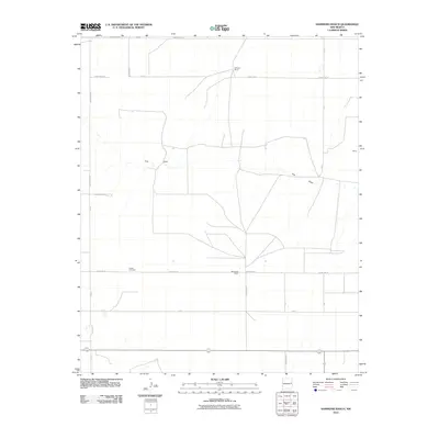 2010 Hammond Ranch2010 Print · USGSCurry County ranching country is captured here during the first decade of the millennium, showing the persistent rural layout of the High Plains. Genealogists and historians can locate Roach Cemetery and trace the boundaries of Hammond Ranch or the small settlement at Shaw.
 - 2010 Map of Grady SW, 2010 Print
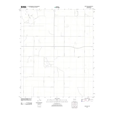 2010 Grady SW2010 Print · USGSThe high plains of eastern New Mexico meet the breaks of The Caprock in this early 21st-century survey of the Curry and Quay county line. Genealogists and local historians can trace the rural landscape around Owen, Best, and Hatfield.
 - 2010 Map of Ima, 2010 Print
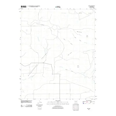 2010 Ima2010 Print · USGSIma and the surrounding eastern New Mexico ranchlands are captured here in the early twenty-first century. Genealogists and researchers can trace the rural landscape from Merrill Ranch to the canyons of Payton Canyon and Lobley Canyon.
Showing maps 1-25 of 218
Top cities of Quay County
Frequently asked questions
- What are the different types of historical maps available for Quay County?
- What is the oldest map of Quay County?
- Where can I purchase historical maps of Quay County for my home or office?
- Where can I download high-res historical maps of Quay County?
- Are there historical topographic maps available for Quay County?
- Is there historical aerial imagery available for Quay County?
- Where are historical maps of Quay County sourced from?