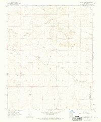
1966 Map of Mc Cloy Ranch
USGS Topo · Published 1969This historical map portrays the area of Mc Cloy Ranch in 1966, primarily covering Harding County as well as portions of Quay County and Union County. Featuring a scale of 1:24000, this map provides a highly detailed snapshot of the terrain, roads, buildings, counties, and historical landmarks in the Mc Cloy Ranch region at the time. Published in 1969, it is one of 2 known editions of this map due to revisions or reprints.
Find a feature on this map
26 named features on this map. Tap any name to fly to it.
Don’t see what you’re looking for? This feature index may not catch every label — zoom into the map to look around manually.
Map Details
Editions of this 1966 Mc Cloy Ranch Map
2 editions found
Historical Maps of Quay County Through Time
76 maps found

1966 Cottonwood Springs
Harding County, NM

1966 Mc Carty Ranch
Harding County, NM

1966 Mc Cloy Ranch
Harding County, NM

1966 Pedernal Creek
Harding County, NM

1966 Rosebud
Harding County, NM

1968 Montesito Creek
Harding County, NM

1969 Buffalo Springs
Harding County, NM

1969 Fuentes Ranch
Harding County, NM

1969 Gallegos
Harding County, NM

1969 Gallegos NE
Harding County, NM

1969 Salitre Canyon
Harding County, NM

1971 Abbott Lake
Harding County, NM

1971 Beaver Canyon
Harding County, NM

1971 Canon Encierro
Harding County, NM

1972 Mills West
Harding County, NM

1973 Albert
Harding County, NM

1973 Arroyo Del Alamo
Harding County, NM

1973 Bueyeros
Harding County, NM

1973 Bueyeros NE
Harding County, NM

1973 Circle Bar Ranch
Harding County, NM

1973 Indian Bathtub
Harding County, NM

1973 Minnie Butte
Harding County, NM

1973 Sabino
Harding County, NM

1973 Valencia Spring
Harding County, NM

1973 Yates SE
Harding County, NM

1974 Divine Lake
Harding County, NM

1974 Kansas Valley
Harding County, NM

1974 Kansas Valley Lake
Harding County, NM

1974 Mills East
Harding County, NM

1974 Solano
Harding County, NM

1974 Spear Hills
Harding County, NM

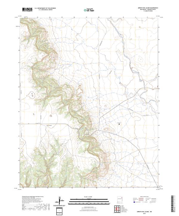
1977 Beenham SW
Harding County, NM

1978 La Cinta Canyon
Harding County, NM

1989 Logan North
Harding County, NM

1998 Abbott Lake
Harding County, NM

1998 Beaver Canyon
Harding County, NM

1998 Divine Lake
Harding County, NM

1998 Kansas Valley
Harding County, NM

1998 Mills East
Harding County, NM

1998 Mills West
Harding County, NM

1998 Spear Hills
Harding County, NM

1998 Valencia Spring
Harding County, NM

2023 Abbott Lake
Harding County, NM
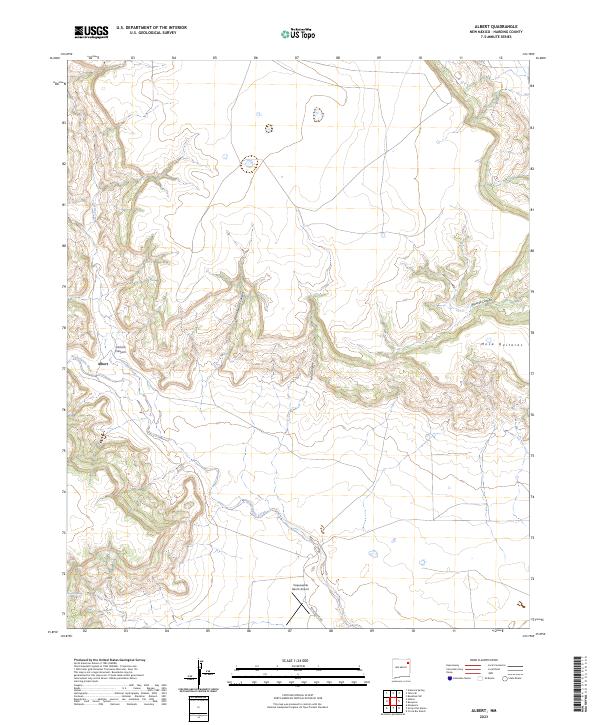
2023 Albert
Harding County, NM
2023 Arroyo Del Alamo
Harding County, NM

2023 Beaver Canyon
Harding County, NM
2023 Beenham SW
Harding County, NM
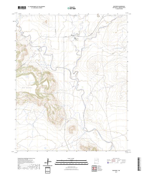
2023 Bueyeros
Harding County, NM
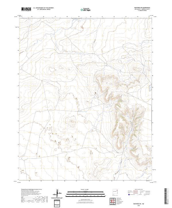
2023 Bueyeros NE
Harding County, NM
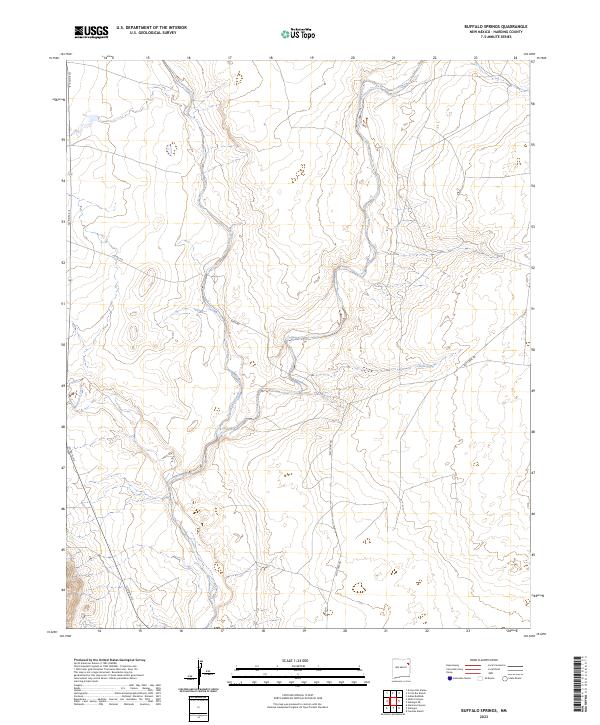
2023 Buffalo Springs
Harding County, NM

2023 Canon Encierro
Harding County, NM
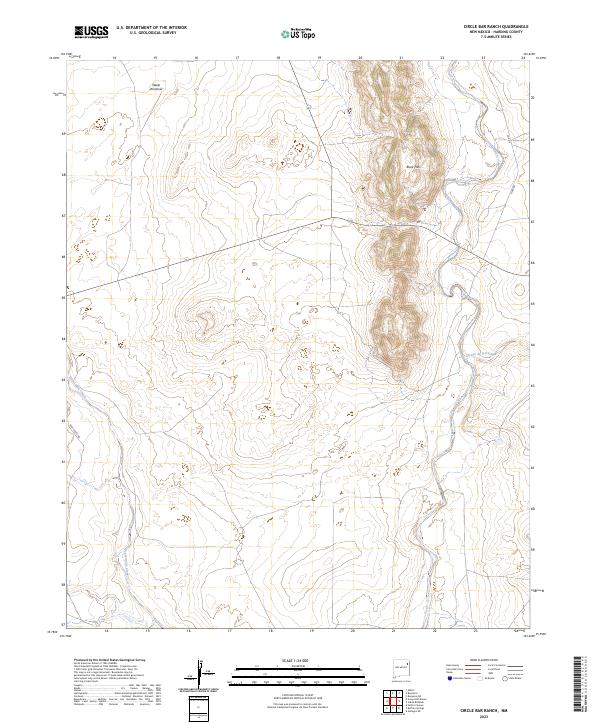
2023 Circle Bar Ranch
Harding County, NM
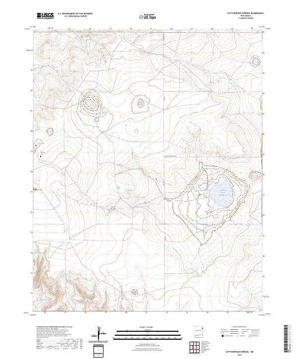
2023 Cottonwood Springs
Harding County, NM

2023 Divine Lake
Harding County, NM
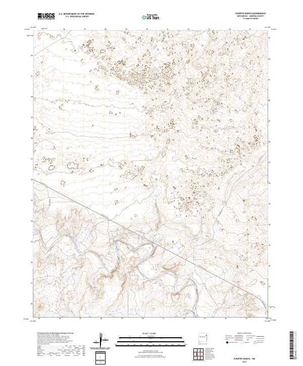
2023 Fuentes Ranch
Harding County, NM
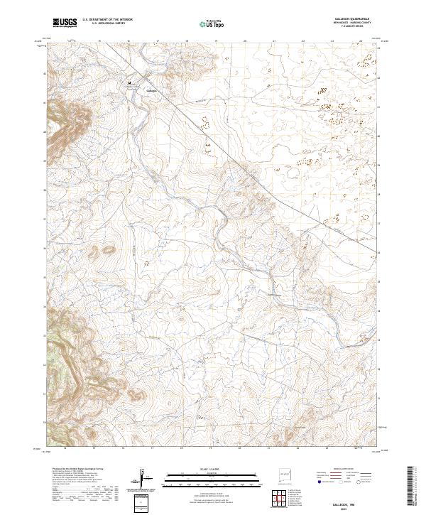
2023 Gallegos
Harding County, NM
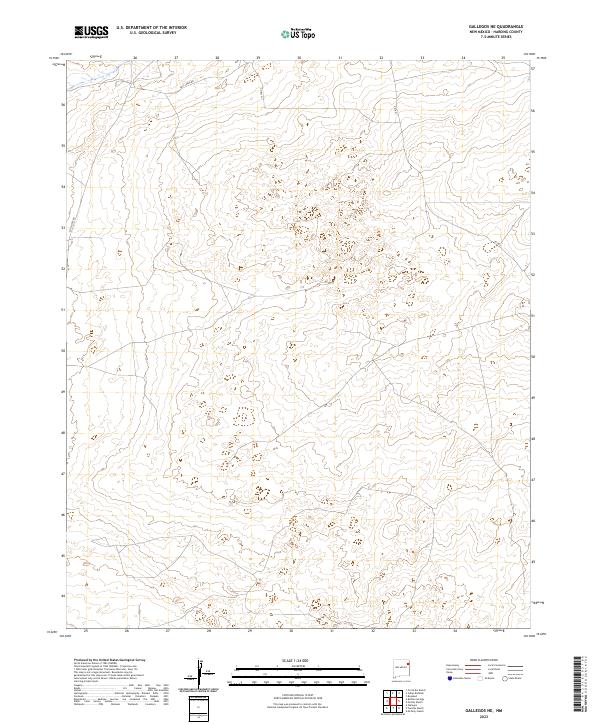
2023 Gallegos NE
Harding County, NM
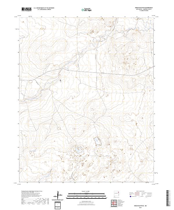
2023 Indian Bathtub
Harding County, NM

2023 Kansas Valley
Harding County, NM
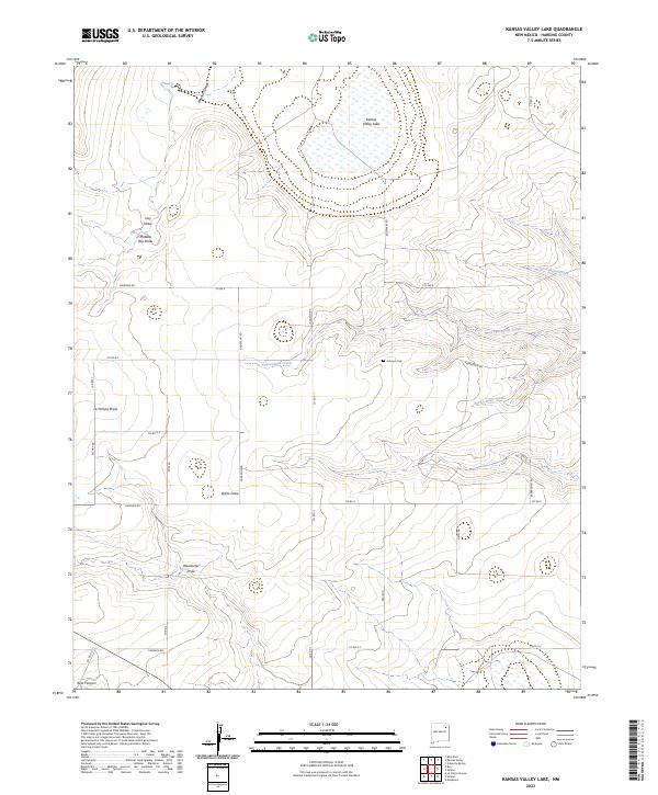
2023 Kansas Valley Lake
Harding County, NM
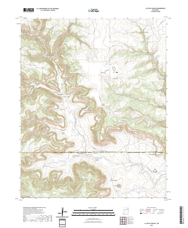
2023 La Cinta Canyon
Harding County, NM
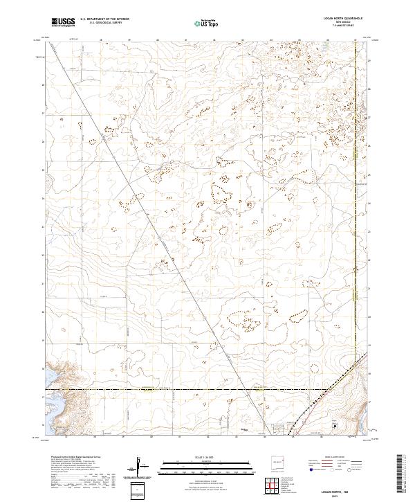
2023 Logan North
Harding County, NM
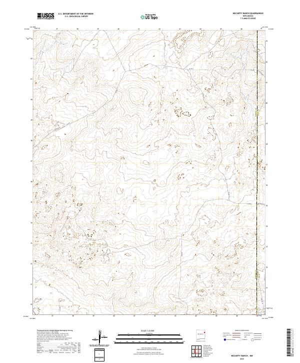
2023 McCarty Ranch
Harding County, NM
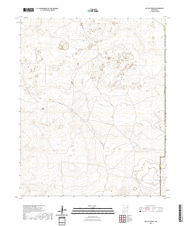
2023 McCloy Ranch
Harding County, NM

2023 Mills East
Harding County, NM

2023 Mills West
Harding County, NM
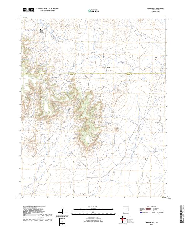
2023 Minnie Butte
Harding County, NM
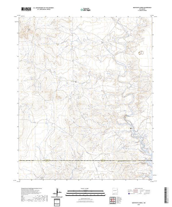
2023 Montesito Creek
Harding County, NM
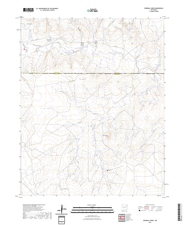
2023 Pedernal Creek
Harding County, NM
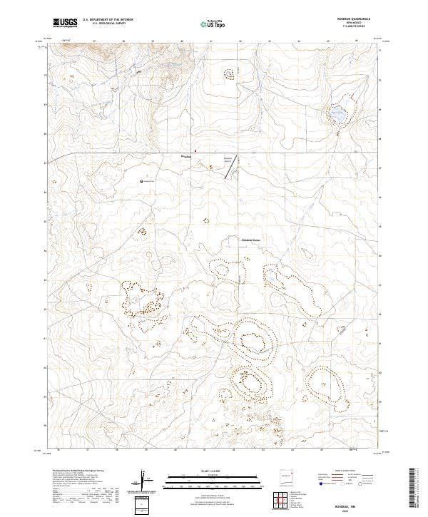
2023 Rosebud
Harding County, NM
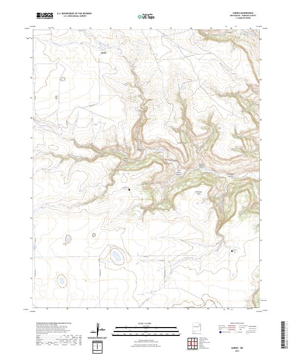
2023 Sabino
Harding County, NM
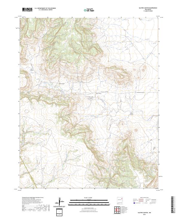
2023 Salitre Canyon
Harding County, NM
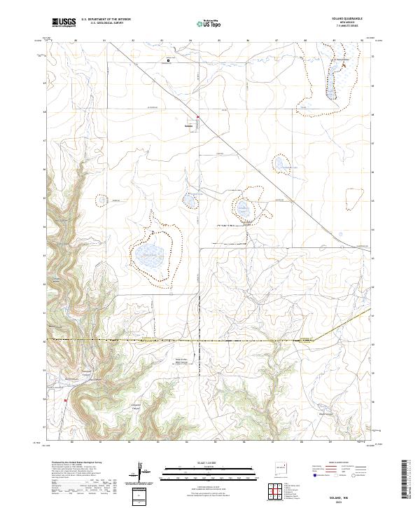
2023 Solano
Harding County, NM

2023 Spear Hills
Harding County, NM
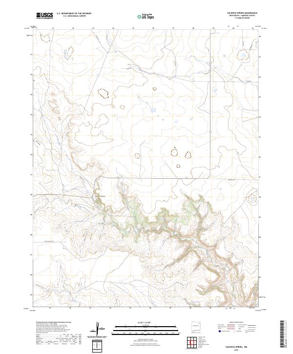
2023 Valencia Spring
Harding County, NM
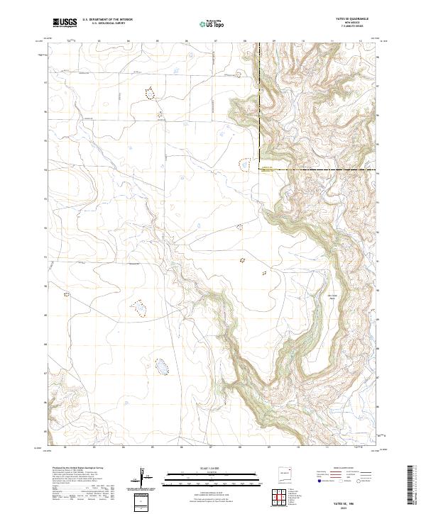
2023 Yates SE
Harding County, NM