2000s (21st Century) Maps of Moira, New York
Explore 30 historic maps of Moira from the 2000s (21st Century). These maps offer a rare glimpse into what life looked like during the 2000s — showing old roads, neighborhoods, homes, and landmarks that have changed or disappeared over time.
Whether you're researching your family's past, planning a metal detecting trip, or studying how Moira's landscape evolved across the 2000s, these high-resolution maps are a powerful tool for exploring the history of this region.
- Focus on a specific era: All maps on this page are from the 2000s, giving you a focused view of this time period.
- See what’s changed: Compare century-old streets, trails, and buildings to today's modern landscape using overlays and satellite layers.
- Research with precision: Use these maps for genealogy, historical research, land use analysis, or educational projects.
- View, download, or print: Maps are fully viewable online in high resolution, and can be downloaded or printed for your own records.
Start exploring Moira's history through authentic maps from the 2000s. This is your window into the past.
Moira, NY maps
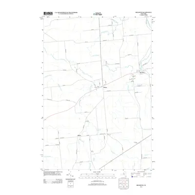
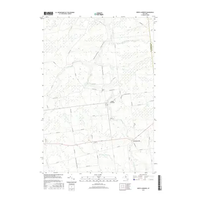
(30)- 2010 Map of North Lawrence, 2010 Print
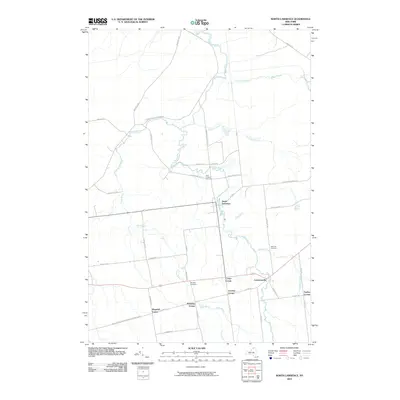 2010 North Lawrence2010 Print · USGSCovers Moira, including Stockholm, Brasher, and other nearby areas
 - 2010 Map of Brushton, 2010 Print
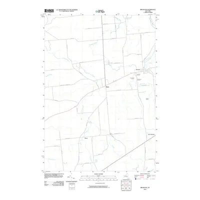 2010 Brushton2010 Print · USGSCovers Moira, including Brasher, Lawrence, and other nearby areas
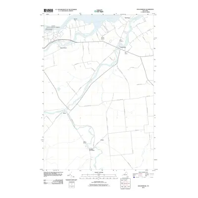
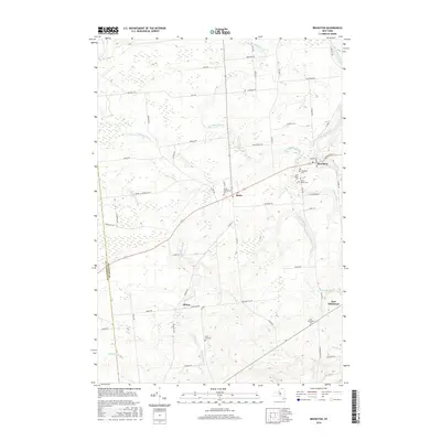
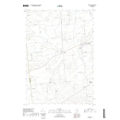
 - 2010 Map of Bangor, 2010 Print
 2010 Bangor2010 Print · USGSCovers Moira, including Bangor, Dickinson, and other nearby areas
 - 2010 Map of Fort Covington, 2010 Print
 2010 Fort Covington2010 Print · USGSCovers Moira, including Bangor, Westville, and other nearby areas
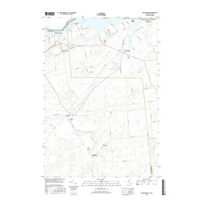
 - 2010 Map of Bombay, 2010 Print
 2010 Bombay2010 Print · USGSCovers Moira, including Fort Covington, Bombay, and other nearby areas
 - 2010 Map of Hogansburg, 2010 Print
 2010 Hogansburg2010 Print · USGSCovers Moira, including Massena, Brasher, and other nearby areas
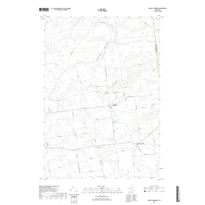
 - 2013 Map of North Lawrence, 2013 Print
 2013 North Lawrence2013 Print · USGSCovers Moira, including Stockholm, Brasher, and other nearby areas
 - 2013 Map of Bangor, 2013 Print
 2013 Bangor2013 Print · USGSCovers Moira, including Bangor, Dickinson, and other nearby areas
 - 2013 Map of Brushton, 2013 Print
 2013 Brushton2013 Print · USGSCovers Moira, including Brasher, Lawrence, and other nearby areas
 - 2013 Map of Fort Covington, 2013 Print
 2013 Fort Covington2013 Print · USGSCovers Moira, including Bangor, Westville, and other nearby areas
 - 2013 Map of Hogansburg, 2013 Print
 2013 Hogansburg2013 Print · USGSCovers Moira, including Massena, Brasher, and other nearby areas
 - 2013 Map of Bombay, 2013 Print
 2013 Bombay2013 Print · USGSCovers Moira, including Fort Covington, Bombay, and other nearby areas
 - 2016 Map of Brushton, 2016 Print
 2016 Brushton2016 Print · USGSCovers Moira, including Brasher, Lawrence, and other nearby areas
 - 2016 Map of Bangor, 2016 Print
 2016 Bangor2016 Print · USGSCovers Moira, including Bangor, Dickinson, and other nearby areas
 - 2016 Map of Hogansburg, 2016 Print
 2016 Hogansburg2016 Print · USGSCovers Moira, including Massena, Brasher, and other nearby areas
 - 2016 Map of Bombay, 2016 Print
 2016 Bombay2016 Print · USGSCovers Moira, including Fort Covington, Bombay, and other nearby areas
 - 2016 Map of Fort Covington, 2016 Print
 2016 Fort Covington2016 Print · USGSCovers Moira, including Bangor, Westville, and other nearby areas
 - 2016 Map of North Lawrence, 2016 Print
 2016 North Lawrence2016 Print · USGSCovers Moira, including Stockholm, Brasher, and other nearby areas
 - 2019 Map of Bangor, 2019 Print
 2019 Bangor2019 Print · USGSCovers Moira, including Bangor, Dickinson, and other nearby areas
 - 2019 Map of Hogansburg, 2019 Print
 2019 Hogansburg2019 Print · USGSCovers Moira, including Massena, Brasher, and other nearby areas
 - 2019 Map of Bombay, 2019 Print
 2019 Bombay2019 Print · USGSCovers Moira, including Fort Covington, Bombay, and other nearby areas
 - 2019 Map of Fort Covington, 2019 Print
 2019 Fort Covington2019 Print · USGSCovers Moira, including Bangor, Westville, and other nearby areas
 - 2019 Map of North Lawrence, 2019 Print
 2019 North Lawrence2019 Print · USGSCovers Moira, including Stockholm, Brasher, and other nearby areas
 - 2019 Map of Brushton, 2019 Print
 2019 Brushton2019 Print · USGSCovers Moira, including Brasher, Lawrence, and other nearby areas
 - 2023 Map of North Lawrence, 2023 Print
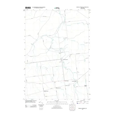
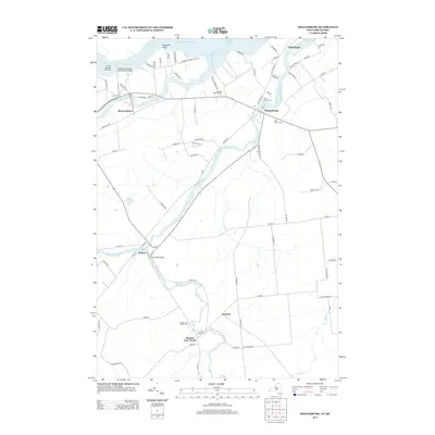
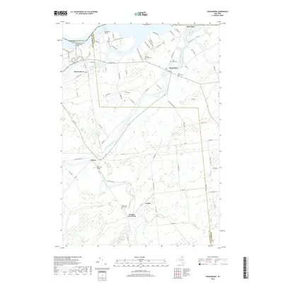
 2023 North Lawrence2023 Print · USGSThe rural landscapes of St. Lawrence County are captured here in the early twenty-first century, centered on the settlements of North Lawrence and Lawrenceville. Genealogists can locate several local burial sites including Hill Crest Cem and Hailville Cem along the Deer River valley.
Showing maps 1-25 of 30
Top cities near Moira
- Malone historical maps
- Massena historical maps
- Stockholm historical maps
- Brasher historical maps
- Bangor historical maps
- Parishville historical maps
See more
Top neighborhoods of Moira
Frequently asked questions
- What are the different types of historical maps available for Moira?
- What is the oldest map of Moira?
- Where can I purchase historical maps of Moira for my home or office?
- Where can I download high-res historical maps of Moira?
- Are there historical topographic maps available for Moira?
- Is there historical aerial imagery available for Moira?
- Where are historical maps of Moira sourced from?