2000s (21st Century) Maps of Lake George, New York
Explore 30 historic maps of Lake George from the 2000s (21st Century). These maps offer a rare glimpse into what life looked like during the 2000s — showing old roads, neighborhoods, homes, and landmarks that have changed or disappeared over time.
Whether you're researching your family's past, planning a metal detecting trip, or studying how Lake George's landscape evolved across the 2000s, these high-resolution maps are a powerful tool for exploring the history of this region.
- Focus on a specific era: All maps on this page are from the 2000s, giving you a focused view of this time period.
- See what’s changed: Compare century-old streets, trails, and buildings to today's modern landscape using overlays and satellite layers.
- Research with precision: Use these maps for genealogy, historical research, land use analysis, or educational projects.
- View, download, or print: Maps are fully viewable online in high resolution, and can be downloaded or printed for your own records.
Start exploring Lake George's history through authentic maps from the 2000s. This is your window into the past.
Lake George, NY maps
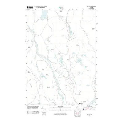
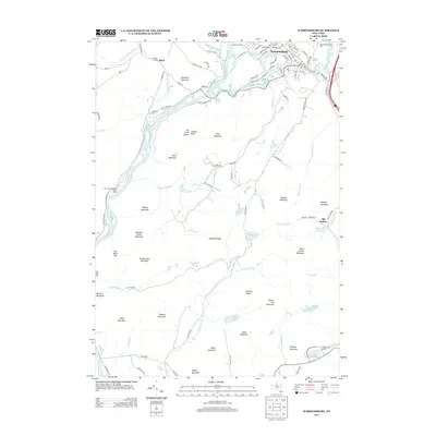
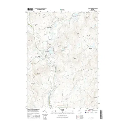
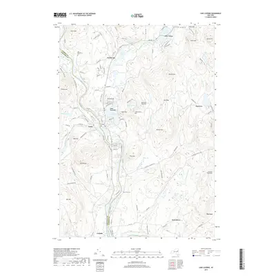
(30)- 2010 Map of Lake Luzerne, 2010 Print
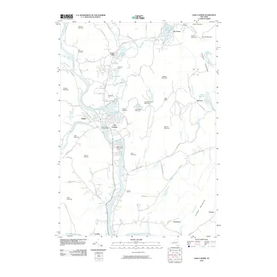 2010 Lake Luzerne2010 Print · USGSCovers Lake George, including Queensbury, Corinth, and other nearby areas
 - 2010 Map of Lake George, 2010 Print
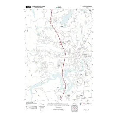
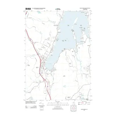
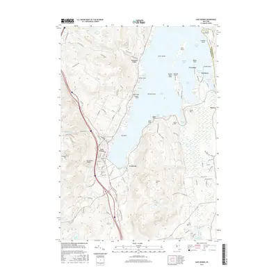
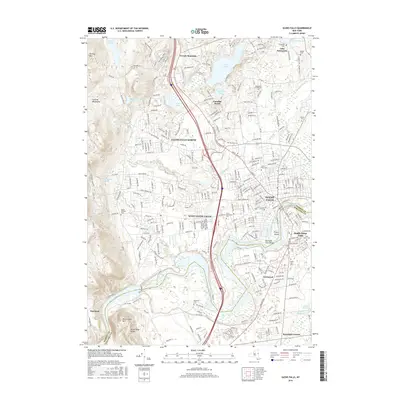
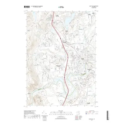
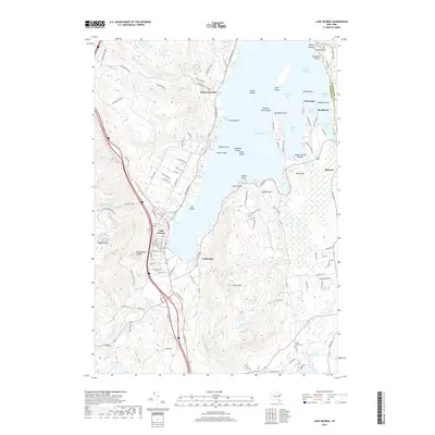
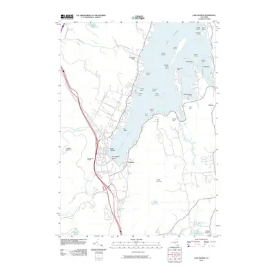 2010 Lake George2010 Print · USGSCovers Lake George, including Queensbury, Fort Ann, and other nearby areas
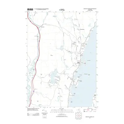
 - 2010 Map of Bolton Landing, 2010 Print
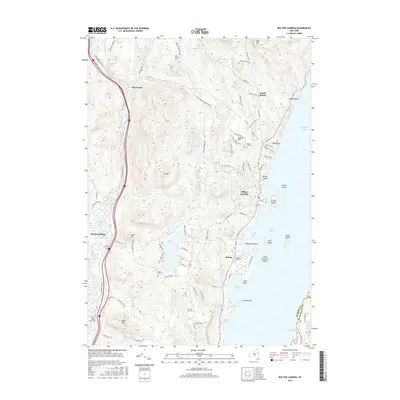
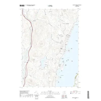
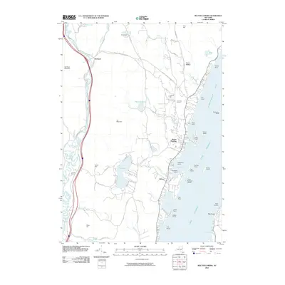 2010 Bolton Landing2010 Print · USGSCovers Lake George, including Fort Ann, Warrensburg, and other nearby areas
 - 2010 Map of Warrensburg, 2010 Print
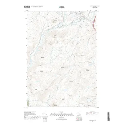
 2010 Warrensburg2010 Print · USGSCovers Lake George, including Warrensburg, Lake Luzerne, and other nearby areas
 - 2010 Map of The Glen, 2010 Print
 2010 The Glen2010 Print · USGSCovers Lake George, including Warrensburg, Chester, and other nearby areas
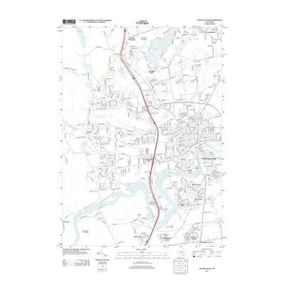
 - 2010 Map of Glens Falls, 2010 Print
 2010 Glens Falls2010 Print · USGSCovers Lake George, including Queensbury, Moreau, and other nearby areas
 - 2013 Map of Lake Luzerne, 2013 Print
 2013 Lake Luzerne2013 Print · USGSCovers Lake George, including Queensbury, Corinth, and other nearby areas
 - 2013 Map of The Glen, 2013 Print
 2013 The Glen2013 Print · USGSCovers Lake George, including Warrensburg, Chester, and other nearby areas
 - 2013 Map of Warrensburg, 2013 Print
 2013 Warrensburg2013 Print · USGSCovers Lake George, including Warrensburg, Lake Luzerne, and other nearby areas
 - 2013 Map of Bolton Landing, 2013 Print
 2013 Bolton Landing2013 Print · USGSCovers Lake George, including Fort Ann, Warrensburg, and other nearby areas
 - 2013 Map of Lake George, 2013 Print
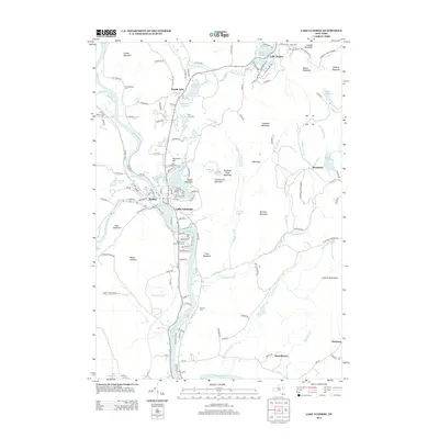
 2013 Lake George2013 Print · USGSCovers Lake George, including Queensbury, Fort Ann, and other nearby areas
 - 2013 Map of Glens Falls, 2013 Print
 2013 Glens Falls2013 Print · USGSCovers Lake George, including Queensbury, Moreau, and other nearby areas
 - 2016 Map of Lake Luzerne, 2016 Print
 2016 Lake Luzerne2016 Print · USGSCovers Lake George, including Queensbury, Corinth, and other nearby areas
 - 2016 Map of Lake George, 2016 Print
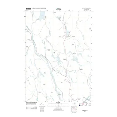
 2016 Lake George2016 Print · USGSCovers Lake George, including Queensbury, Fort Ann, and other nearby areas
 - 2016 Map of Bolton Landing, 2016 Print
 2016 Bolton Landing2016 Print · USGSCovers Lake George, including Fort Ann, Warrensburg, and other nearby areas
 - 2016 Map of The Glen, 2016 Print
 2016 The Glen2016 Print · USGSCovers Lake George, including Warrensburg, Chester, and other nearby areas
 - 2016 Map of Glens Falls, 2016 Print
 2016 Glens Falls2016 Print · USGSCovers Lake George, including Queensbury, Moreau, and other nearby areas
 - 2016 Map of Warrensburg, 2016 Print
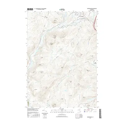 2016 Warrensburg2016 Print · USGSCovers Lake George, including Warrensburg, Lake Luzerne, and other nearby areas
 - 2019 Map of The Glen, 2019 Print
 2019 The Glen2019 Print · USGSCovers Lake George, including Warrensburg, Chester, and other nearby areas
 - 2019 Map of Glens Falls, 2019 Print
 2019 Glens Falls2019 Print · USGSCovers Lake George, including Queensbury, Moreau, and other nearby areas
 - 2019 Map of Warrensburg, 2019 Print
 2019 Warrensburg2019 Print · USGSCovers Lake George, including Warrensburg, Lake Luzerne, and other nearby areas
 - 2019 Map of Lake George, 2019 Print
 2019 Lake George2019 Print · USGSCovers Lake George, including Queensbury, Fort Ann, and other nearby areas
 - 2019 Map of Bolton Landing, 2019 Print
 2019 Bolton Landing2019 Print · USGSCovers Lake George, including Fort Ann, Warrensburg, and other nearby areas
 - 2019 Map of Lake Luzerne, 2019 Print
 2019 Lake Luzerne2019 Print · USGSCovers Lake George, including Queensbury, Corinth, and other nearby areas
 - 2023 Map of The Glen, 2023 Print
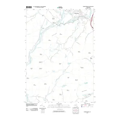
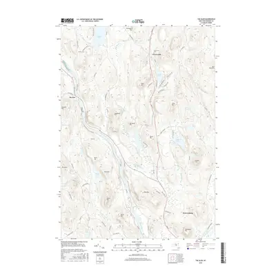
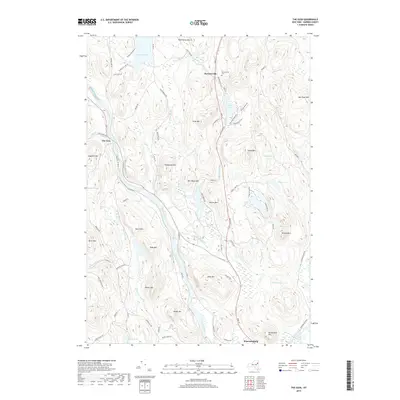
 2023 The Glen2023 Print · USGSThe Adirondack foothills and the confluence of the Hudson and Schroon Rivers define this Warren County landscape as it appeared in recent years. Researchers can locate family landmarks such as Darrowsville Cem or trace high-country water features like Friends Lake and Pack Forest Lake.
Showing maps 1-25 of 30
Top cities near Lake George
- Queensbury historical maps
- Moreau historical maps
- Glens Falls historical maps
- Kingsbury historical maps
- Glens Falls North historical maps
- Hudson Falls historical maps
See more
Top neighborhoods of Lake George
- Diamond Point (hamlet) historical maps
- Crosbyside historical maps
- Rocks historical maps
- Lake George historical maps
Frequently asked questions
- What are the different types of historical maps available for Lake George?
- What is the oldest map of Lake George?
- Where can I purchase historical maps of Lake George for my home or office?
- Where can I download high-res historical maps of Lake George?
- Are there historical topographic maps available for Lake George?
- Is there historical aerial imagery available for Lake George?
- Where are historical maps of Lake George sourced from?