Old Maps of Lummisville, Huron for Genealogy
Trace your family roots with 13 historic maps of Lummisville. These high-res maps reveal old neighborhoods, homesites, landmarks, and streets — helping you uncover where your ancestors lived and how the area evolved over time.
- Explore historic neighborhoods: Identify where your relatives may have lived in the 1800s or 1900s.
- Compare maps over time: Trace the changes in streets, buildings, and landmarks for multi-generational research.
- Perfect for genealogy & ancestry research: Used by family historians and researchers to map out lineage and migration.
These maps are an incredible resource for exploring your personal connection to Lummisville's past.
Lummisville, Huron maps
(13)- 1902 Map of Clyde
 1902 Clyde1902 Print · USGSUpper New York state at the turn of the century shows a dense network of competing rail and water routes. Trace the path of the Erie Canal and find defunct stretches like the Erie Canal (Abandoned) alongside the Clyde River.8 unique versions available
 - 1943 Map of Rose
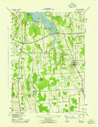 1943 Rose1943 Print · USGSMid-century Wayne County agriculture and shoreline living are on display in this survey of the eastern Sodus Bay region. Genealogists can locate family homesteads near York Settlement, Barton Cem, and numerous district schools like School No 16.
 - 1953 Map of Rose, 1955 Print
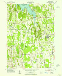 1953 Rose1955 Print · USGSWayne County's lakeshore and farming hamlets are preserved here in the mid-fifties, showing the region's rail-dependent rural economy. You can trace family roots through Rose Cem, locate the rail stops at North Rose, or explore the shoreline at Bonni Castle.4 unique versions available
 - 1953 Map of Clyde, 1961 Print
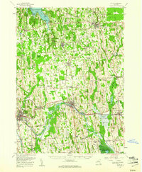 1953 Clyde1961 Print · USGSWayne County is shown in the early fifties, defined by the industrial hubs of Lyons and Clyde along the historic Erie Canal. Researchers can trace old family sites at Lockwood Corners, locate the White Schoolhouse, or find the Rice Mill near the marshlands.
 - 1960 Map of Rochester
 1960 Rochester1960 Print · USGSThe Lake Ontario shoreline in the late fifties was a bustling corridor of rail and water commerce. Genealogists and historians can trace the path of the New York Central through canal towns like Newark or explore the coastal landmarks around Sackets Harbor.2 unique versions available
 - 1961 Map of Rochester, 1973 Print
 1961 Rochester1973 Print · USGSThe Lake Ontario shoreline and Finger Lakes frontier are shown here at the height of the mid-century infrastructure boom. Genealogists and historians can trace the rail-and-road evolution from Sackets Harbor down to the New York State Thruway, passing through centers like Pulaski and Adams Center.3 unique versions available
 - 1965 Map of Rochester
 1965 Rochester1965 Print · USGSUpstate New York's industrial heartland is captured here during a period of significant growth between the Great Lakes and the Finger Lakes. Genealogists and historians can trace the evolution of canal towns and rail hubs from Rochester to Syracuse, noting features like the Erie Canal and the New York State Thruway.
 - 1985 Map of Syracuse
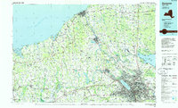 1985 Syracuse1985 Print · USGSCentral New York in the mid-eighties shows a landscape of established canal towns and growing metropolitan suburbs linked by rail and water. Researchers can trace the path of the Erie Canal, find the boundaries of Montezuma Marsh, and locate regional landmarks like Oneida Lake and Chimney Bluffs.3 unique versions available
 - 2010 Map of Rose, 2010 Print
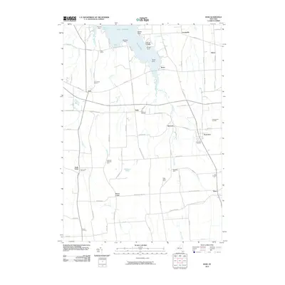 2010 Rose2010 Print · USGSWayne County’s agricultural heartland is documented here in the early 2000s, from the shores of Sodus Bay to the village of Rose. Researchers can trace local family lineages through several sites including South Sodus Cemetery, Alasa Farms, and North Rose.
 - 2013 Map of Rose, 2013 Print
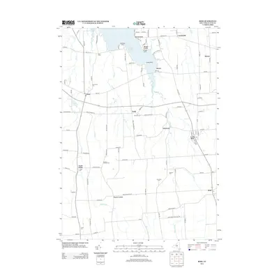 2013 Rose2013 Print · USGSWayne County's agricultural heartland and the shores of Lake Ontario are captured here in the early twenty-first century. Genealogists and local historians can trace family roots through numerous burial sites like Espenschied Cem and settlements such as Alton or South Sodus.
 - 2016 Map of Rose, 2016 Print
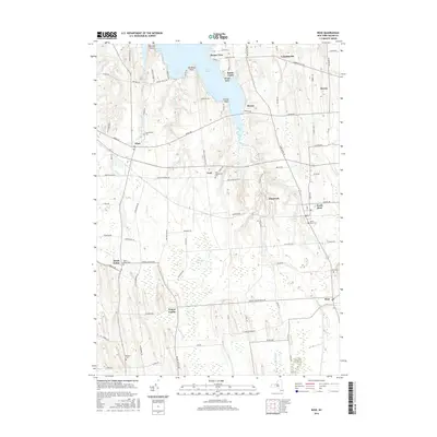 2016 Rose2016 Print · USGSWayne County’s drumlin-and-swamp landscape is captured here during the 2010s, from the inlets of Sodus Bay to the rural hamlets of Rose and Alton. Genealogists can locate several local burial sites, including York Settlement Cem and South Sodus Cem, while exploring the extent of Huckleberry Swamp.
 - 2019 Map of Rose, 2019 Print
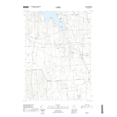 2019 Rose2019 Print · USGSWayne County’s agricultural heartland and the southern inlets of Lake Ontario are captured in this recent survey. Genealogists can locate family sites near York Settlement Cem, the community of North Rose, and the vast Huckleberry Swamp.
 - 2023 Map of Rose, 2023 Print
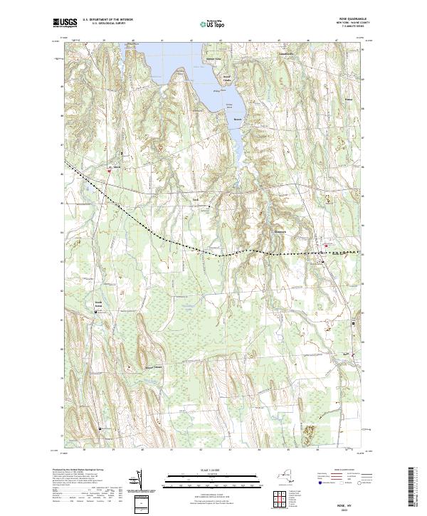 2023 Rose2023 Print · USGSWayne County's rural landscape meets the southern edge of the Great Lakes in the early twenty-first century. Genealogists and historians can trace local family lineages through York Settlement Cem, South Sodus Cem, and the marshy expanses of Huckleberry Swamp.
End of results
Showing maps 1-13 of 13
Top cities near Lummisville
- Arcadia historical maps
- Newark historical maps
- Sodus historical maps
- Lyons historical maps
- Galen historical maps
- Wolcott historical maps
See more
Frequently asked questions
- What are the different types of historical maps available for Lummisville?
- What is the oldest map of Lummisville?
- Where can I purchase historical maps of Lummisville for my home or office?
- Where can I download high-res historical maps of Lummisville?
- Are there historical topographic maps available for Lummisville?
- Is there historical aerial imagery available for Lummisville?
- Where are historical maps of Lummisville sourced from?