2010s Maps of Cumberland County, North Carolina
Explore 80 historic maps of Cumberland County from the 2010s. These maps offer a rare glimpse into what life looked like during the 2010s — showing old roads, neighborhoods, homes, and landmarks that have changed or disappeared over time.
Whether you're researching your family's past, planning a metal detecting trip, or studying how Cumberland County's landscape evolved across the 2010s, these high-resolution maps are a powerful tool for exploring the history of this region.
- Focus on a specific era: All maps on this page are from the 2010s, giving you a focused view of this time period.
- See what’s changed: Compare century-old streets, trails, and buildings to today's modern landscape using overlays and satellite layers.
- Research with precision: Use these maps for genealogy, historical research, land use analysis, or educational projects.
- View, download, or print: Maps are fully viewable online in high resolution, and can be downloaded or printed for your own records.
Start exploring Cumberland County's history through authentic maps from the 2010s. This is your window into the past.
Cumberland County, NC maps
(80)- 2010 Map of Parkton, 2010 Print
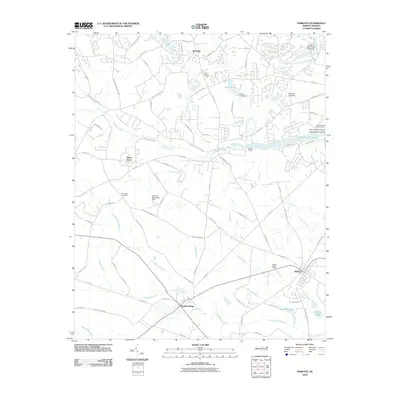 2010 Parkton2010 Print · USGSThe crossroads of Lumber Bridge and Parkton anchor this 2010 survey of North Carolina's wetland-rich coastal plain. Researchers can trace family history through Wood Cemetery and McGougan Cemetery or locate landmarks like the Parkton Lookout Tower.
 - 2010 Map of Ammon, 2010 Print
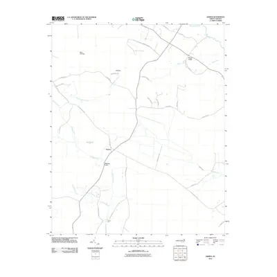 2010 Ammon2010 Print · USGSThe coastal plains of North Carolina are mapped here in the early 2000s, showing the agricultural heart of the region near the South River. Researchers can locate traditional river crossings at Ammon Ford and Reeves Ford or trace family-named routes like Lula Long Rd.
 - 2010 Map of Autryville, 2010 Print
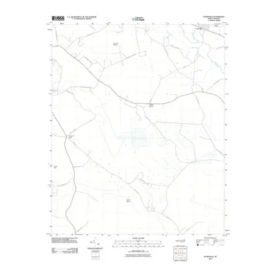 2010 Autryville2010 Print · USGSThe rural landscape around Autryville in the early twenty-first century is defined by its winding river systems and expansive wetlands. Local historians can trace family road names and locate landmarks like the Johnson Cemetery or the Cedar Creek Lookout Tower.
 - 2010 Map of Duart, 2010 Print
 2010 Duart2010 Print · USGSCoastal plain settlements and river landings define this part of North Carolina during the early twenty-first century. Genealogists can locate family burial grounds like Boone Cemetery and Ellis Cemetery or trace the old paths near Tobermory and Newlight.
 - 2010 Map of Roseboro, 2010 Print
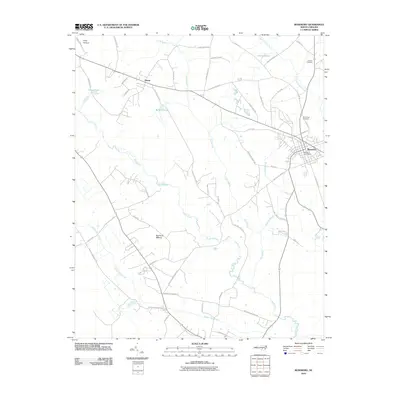 2010 Roseboro2010 Print · USGSRoseboro and its rural surroundings in Sampson County are captured here at the start of the 2010s, revealing a landscape defined by extensive riverine wetlands. Genealogists and local historians can trace family locations near Hollywood Cemetery, Hayne, and the winding South River.
 - 2010 Map of Hope Mills, 2010 Print
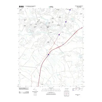 2010 Hope Mills2010 Print · USGSCumberland County saw significant suburban growth south of Fayetteville by the early 2010s. Researchers can locate family burial sites at Adcox or Nicholson Cemetery and trace water control points like Hope Mills Dam No. 1.
 - 2010 Map of Garland, 2010 Print
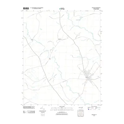 2010 Garland2010 Print · USGSSampson County's rural landscape is captured here in the early twenty-first century, centered on the historic town of Garland. Genealogists and local historians can trace family land ties along Peter Cromartie Rd and find legacy sites like Melvin Bridge and the Johnson Mill Race.
 - 2010 Map of Cedar Creek, 2010 Print
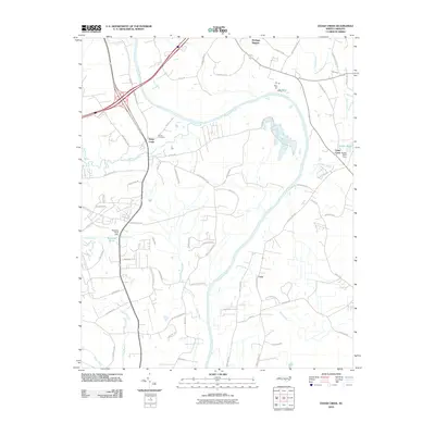 2010 Cedar Creek2010 Print · USGSCoastal plain communities south of Fayetteville are documented here just after the first decade of the millennium. Genealogists and local historians can trace family ties at the Grays Creek Church or explore landmarks like Dudley Pond Dam and the Evans Cemetery.
 - 2010 Map of Jerome, 2010 Print
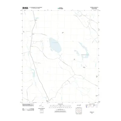 2010 Jerome2010 Print · USGSBladen County's unique Carolina Bay landscape is preserved here as it appeared in the early 2000s. Researchers can trace rural life and hydrology through features like Little Singletary Lake, the settlement of Jerome, and the wetlands of Marshy Bay.
 - 2010 Map of Mingo, 2010 Print
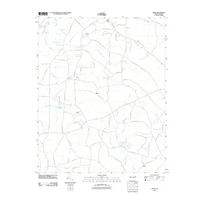 2010 Mingo2010 Print · USGSSampson County's rural landscape at the start of the 2010s shows a community shaped by its wetlands and family legacies. Genealogists can locate family-named sites like Lee Cemetery and Naylor Cemetery or trace the waters of Williams Lake and Tart Millpond.
 - 2010 Map of Vander, 2010 Print
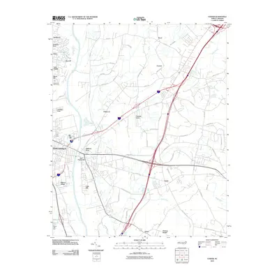 2010 Vander2010 Print · USGSCumberland County at the close of the 2000s shows the steady eastward expansion of the Fayetteville area into once-rural wetlands. Genealogists and local historians can trace family-named areas and established communities like Vander, Eastover, and Cade Hill.
 - 2010 Map of Slocomb, 2010 Print
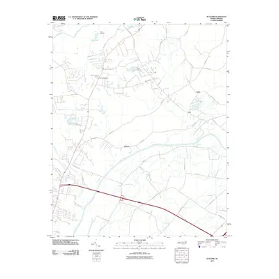 2010 Slocomb2010 Print · USGSCumberland County at the dawn of the 2010s shows a landscape of river-bend settlements and expanding rural roads. Genealogists and local historians can trace family locations near Slocomb, Carlos, and Lane, or locate water features like Ennis Pond and Smiths Lake.
 - 2010 Map of Bunnlevel, 2010 Print
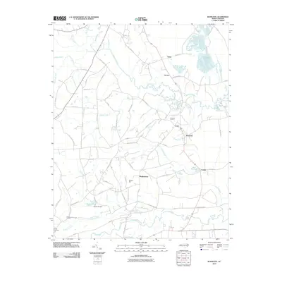 2010 Bunnlevel2010 Print · USGSHarnett County at the turn of the millennium shows a landscape of deep swamps and river forks where rural communities like Walkertown and Fonville took root. Genealogists can trace family footprints through the McArtan Cemetery, Friendship Cemetery, and landmarks like Killens Hill.
 - 2010 Map of Erwin, 2010 Print
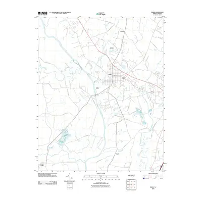 2010 Erwin2010 Print · USGSThe river systems of Harnett County are captured here in the early 21st century, where the Cape Fear River meets the Little River. Researchers can trace family road names and historic sites like the Averasboro Cemetery and the settlement of Turlington.
 - 2010 Map of Wade, 2010 Print
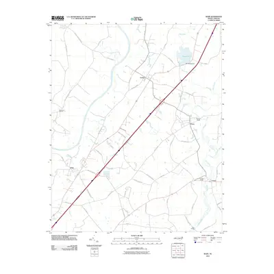 2010 Wade2010 Print · USGSThe river-rich corridor of Cumberland County comes into focus in the early 2010s, showing the settled lands between the Cape Fear River and South River. Local historians can trace family-named roads and landmarks like Westminster Cemetery, Rhodes Pond, and the community of Godwin.
 - 2010 Map of Stedman, 2010 Print
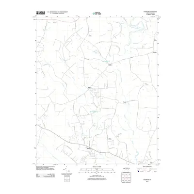 2010 Stedman2010 Print · USGSCumberland County at the start of the 21st century remains a landscape of millponds and meandering blackwater streams. Trace family history and local settlements through Bethany Crossroads, Fisher Cemetery, and the river crossings at Faircloths Bridge.
 - 2010 Map of Saint Pauls, 2010 Print
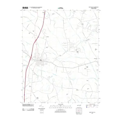 2010 Saint Pauls2010 Print · USGSIn the early twenty-first century, this area of North Carolina shows a landscape shaped by coastal plain bays and the hub of Saint Pauls. Researchers can trace local family history through numerous burial grounds like Tyson Cemetery or explore landmarks such as Rozier Siding and Horse Neck.
 - 2013 Map of Garland, 2013 Print
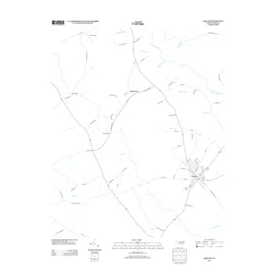 2013 Garland2013 Print · USGSGarland and the surrounding Sampson County lowlands are captured here in the early twenty-first century, showcasing a landscape of dense swamps and rural junctions. Genealogists can trace family-named routes and local landmarks like Twin Oak Airport, Parkersburg, and the Johnson Mill Race.
 - 2013 Map of Autryville, 2013 Print
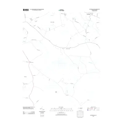 2013 Autryville2013 Print · USGSThe rural crossing at Autryville and the surrounding swamps of Cumberland County are captured here in the early twenty-first century. Genealogists and local researchers can locate landmarks like the Cedar Creek Lookout Tower and trace the drainage of Vineyard Swamp and Bucks Bay.
 - 2013 Map of Duart, 2013 Print
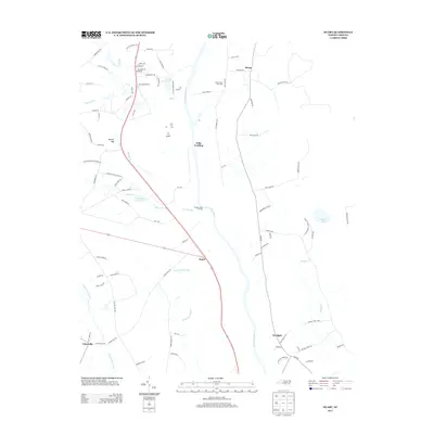 2013 Duart2013 Print · USGSThe Cape Fear River lowlands are captured here in the early twenty-first century, highlighting a landscape of river landings and extensive swamp drainage. Researchers can trace rural settlement patterns at Duart and Newlight or locate features like Tolar Landing and the Big Swamp Canal.
 - 2013 Map of Ammon, 2013 Print
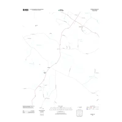 2013 Ammon2013 Print · USGSCoastal plain settlements and Carolina bays define this North Carolina landscape in the early 2010s. Genealogists and local historians can trace family land via Ammon Farm Rd or locate historic creek crossings at Ammon Ford and Reeves Ford.
 - 2013 Map of Hope Mills, 2013 Print
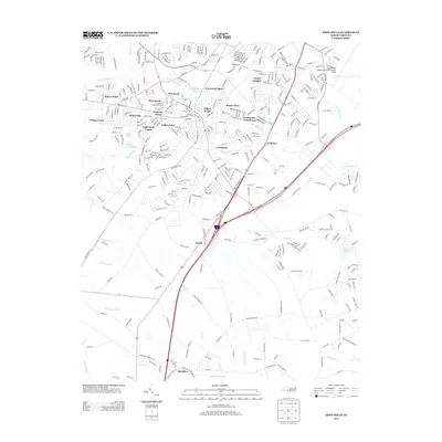 2013 Hope Mills2013 Print · USGSCumberland County south of Fayetteville shows a blend of suburban growth and traditional wetlands just after the millennium. Genealogists and local historians can trace family-named roads and rural settlements like McMillan, Roslin, and the shores of Hope Mills Lake.
 - 2013 Map of Roseboro, 2013 Print
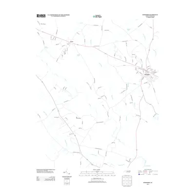 2013 Roseboro2013 Print · USGSRoseboro and its rural surroundings in Sampson County appear here in the early twenty-first century. Researchers can trace the local landscape through features like Brocks Airport, the Beaver Dam Church Rd, and the headwaters of Big Swamp.
 - 2013 Map of Overhills, 2013 Print
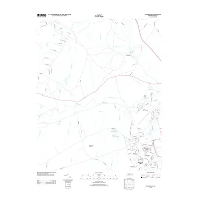 2013 Overhills2013 Print · USGSCumberland County’s military and rural landscapes intersect in the early twenty-first century near the Little River. Researchers can trace the development of Pope Air Force Base alongside uniquely named settlements like Saint Mere Eglise, Nijmegen, and Overhills.
 - 2013 Map of Jerome, 2013 Print
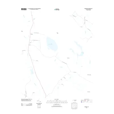 2013 Jerome2013 Print · USGSBladen County in the early twenty-first century remains a landscape of sprawling wetlands and quiet rural settlements. Genealogists and local historians can trace family land ties along Dennis Harold Simmons Rd or near Jessups Pond and Little Singletary Lake.
Showing maps 1-25 of 80
Top cities of Cumberland County
- Fayetteville historical maps
- Hope Mills historical maps
- Spring Lake historical maps
- Stedman historical maps
- Wade historical maps
- Falcon historical maps
See more
Frequently asked questions
- What are the different types of historical maps available for Cumberland County?
- What is the oldest map of Cumberland County?
- Where can I purchase historical maps of Cumberland County for my home or office?
- Where can I download high-res historical maps of Cumberland County?
- Are there historical topographic maps available for Cumberland County?
- Is there historical aerial imagery available for Cumberland County?
- Where are historical maps of Cumberland County sourced from?