2010s Maps of Graham County, North Carolina
Explore 56 historic maps of Graham County from the 2010s. These maps offer a rare glimpse into what life looked like during the 2010s — showing old roads, neighborhoods, homes, and landmarks that have changed or disappeared over time.
Whether you're researching your family's past, planning a metal detecting trip, or studying how Graham County's landscape evolved across the 2010s, these high-resolution maps are a powerful tool for exploring the history of this region.
- Focus on a specific era: All maps on this page are from the 2010s, giving you a focused view of this time period.
- See what’s changed: Compare century-old streets, trails, and buildings to today's modern landscape using overlays and satellite layers.
- Research with precision: Use these maps for genealogy, historical research, land use analysis, or educational projects.
- View, download, or print: Maps are fully viewable online in high resolution, and can be downloaded or printed for your own records.
Start exploring Graham County's history through authentic maps from the 2010s. This is your window into the past.
Graham County, NC maps
(56)- 2011 Map of Marble, 2011 Print
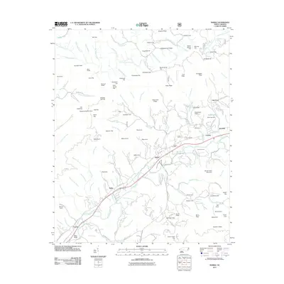 2011 Marble2011 Print · USGSCherokee County at the start of the 2010s reveals a mountain landscape defined by the Valley River and a legacy of stone quarrying. Researchers can trace local lineage through family-named landmarks like Kimsey Cove or locate industry sites such as the Terrazzo Switch and Grey Quarry.
 - 2011 Map of Andrews, 2011 Print
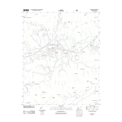 2011 Andrews2011 Print · USGSCherokee County settlement and mountain terrain are captured here in the early twenty-first century, centered on the Valley River corridor. Researchers can locate family landmarks such as Valleytown Cemetery, the Georgia State Prison Camp, and the Andrews-Murphy Airport.
 - 2011 Map of Hewitt, 2011 Print
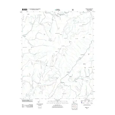 2011 Hewitt2011 Print · USGSStecoah and the high peaks of Graham County are documented here just after the turn of the century. Trace mountain genealogy and land use through landmarks like Randolph Cemetery, the settlement of Hewitt, and Queens Creek Lake.
 - 2011 Map of Tapoco, 2011 Print
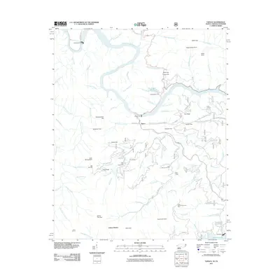 2011 Tapoco2011 Print · USGSThe Tennessee and North Carolina borderlands are centered here at a time when hydroelectric power and timber management defined the region. Researchers can trace family burial sites at Farley Cemetery or follow industrial history through Cheoah Dam and Santeetlah Dam.
 - 2011 Map of Wesser, 2011 Print
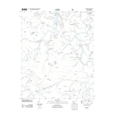 2011 Wesser2011 Print · USGSThe mountain gaps and river bends of Swain County are captured here in the early twenty-first century as Fontana Lake meets the Nantahala Gorge. Researchers can locate family landmarks such as Tabor Cemetery, Wesser Bald Lookout, and the settlement of Needmore.
 - 2011 Map of Topton, 2011 Print
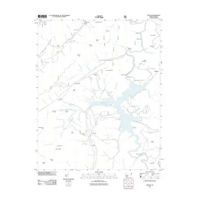 2011 Topton2011 Print · USGSThe Nantahala National Forest backcountry comes into focus during the early 2010s, centering on the high waters of Nantahala Lake and the village of Topton. Researchers can locate mountain landmarks like Red Marble Gap, the Nantahala Dam, and the riverside site of Aquone.
 - 2011 Map of Tuskeegee, 2011 Print
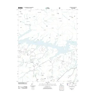 2011 Tuskeegee2011 Print · USGSGraham County’s mountain coves and the winding shores of the Great Smoky Mountains are captured here in the early twenty-first century. Genealogists and local historians can locate numerous family burial grounds including Proctor Cemetery, Mitchell Cemetery, and Blankenship Cemetery.
 - 2011 Map of Santeetlah Creek, 2011 Print
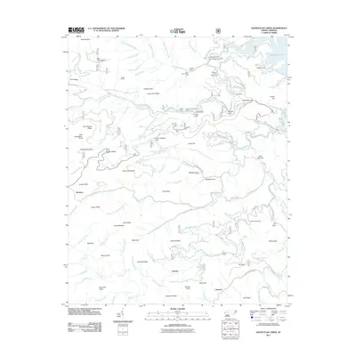 2011 Santeetlah Creek2011 Print · USGSThe northern Graham County mountains appear in high detail during the early 21st century, centered on the Santeetlah and Snowbird Creek watersheds. Genealogists and hikers can trace family-named sites like Stewart Cabin and Patrick Meadows or locate Poplar Cove and Junction.
 - 2011 Map of Fontana Dam, 2011 Print
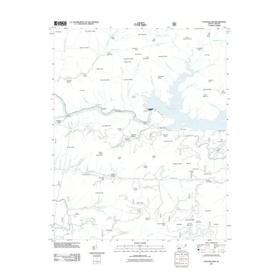 2011 Fontana Dam2011 Print · USGSGraham County’s mountain terrain is centered on the massive Fontana Dam and its expansive lake during the early twenty-first century. Genealogists and local historians can locate several family burial grounds including Jenkins Cemetery and Payne Cemetery, or trace the old river crossing at Rymers Ferry.
 - 2011 Map of Robbinsville, 2011 Print
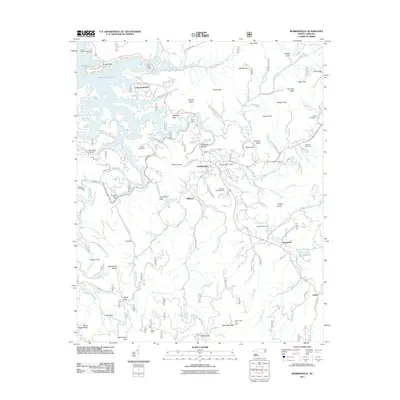 2011 Robbinsville2011 Print · USGSRobbinsville and the surrounding Graham County mountains are captured here in the early twenty-first century as the region balanced its timber heritage with lakeside recreation. Researchers can locate family burial sites like West Buffalo Cemetery and Holloway Cemetery or trace landmarks like the Joanna Bald Fire Tower.
 - 2011 Map of Noland Creek, 2011 Print
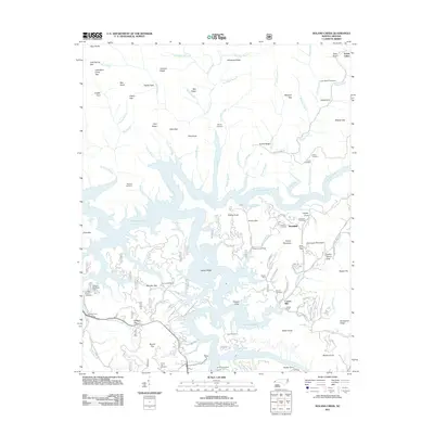 2011 Noland Creek2011 Print · USGSSwain County's mountainous lakefront is shown here in the early twenty-first century, featuring the complex shoreline where the river meets the reservoir. Local historians can trace family sites like Carson Mill and numerous burial grounds including Woody Cemetery and Stiles Cemetery.
 - 2011 Map of Whiteoak Flats, 2011 Print
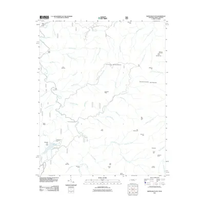 2011 Whiteoak Flats2011 Print · USGSThe Tennessee mountains near Citico and Whiteoak Flats are shown here in the early 2000s, centered on the complex drainage of Citico Creek. Hikers and local historians can trace paths to Cold Spring Lookout Tower, Jeffrey Hell, and the Indian Boundary Recreation Area.
 - 2011 Map of Big Junction, 2011 Print
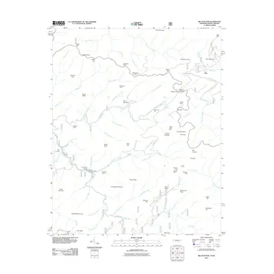 2011 Big Junction2011 Print · USGSThe Unicoi Mountains along the Tennessee-North Carolina border are shown in detail as they appeared in 2011, crisscrossed by modern roads and ancient trails. Researchers can find Green Cove Cemetery, locate isolated settlements like Kirkland Cove, and trace the path of the Cherohala Skyway.
 - 2011 Map of McDaniel Bald, 2011 Print
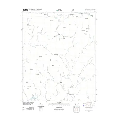 2011 McDaniel Bald2011 Print · USGSCherokee County’s high ridges and creek valleys are documented here in the early twenty-first century. Genealogists and local historians can trace family locations near Bryson Cemetery, Ebenezer, and the namesake McDaniel Bald.
 - 2013 Map of Whiteoak Flats, 2013 Print
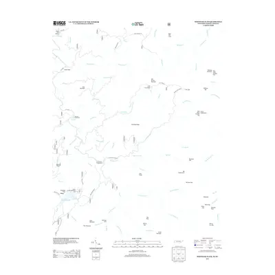 2013 Whiteoak Flats2013 Print · USGSThe backcountry of Monroe County is captured here in the early 21st century, showing the remote recreation hubs and water-carved ridges. Researchers can locate family landmarks and forest outposts like Clemmer Cove, Cold Spring Lookout Tower, and the settlement at Citico.
 - 2013 Map of Big Junction, 2013 Print
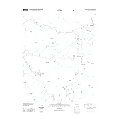 2013 Big Junction2013 Print · USGSThe Unicoi Mountains and the high border ridges of Tennessee and North Carolina are mapped here in the early twenty-first century. Researchers can locate remote forest landmarks like Whigg Cabin and Fain Cabin, or trace the waters of the Tellico River past the Pheasant Field Rearing Pools.
 - 2013 Map of McDaniel Bald, 2013 Print
 2013 McDaniel Bald2013 Print · USGSCherokee County’s mountain ridges and high coves are captured here in the early twenty-first century. Genealogists and hikers can trace family-named landmarks like McDaniel Bald and Tipton Knob or locate the rural communities of Ebenezer and Grandview.
 - 2013 Map of Topton, 2013 Print
 2013 Topton2013 Print · USGSThe high peaks and deep coves surrounding Nantahala Lake are captured here in the early twenty-first century. Researchers can trace historic mountain access points like Red Marble Gap and local settlements including Topton, Aquone, and Diamond Valley.
 - 2013 Map of Fontana Dam, 2013 Print
 2013 Fontana Dam2013 Print · USGSGraham County’s mountain ridges and reservoir shorelines are documented here in the early twenty-first century. Researchers can trace the layout of Fontana Village and locate backcountry landmarks like the Wauchecha Bald Lookout and Rymers Ferry.
 - 2013 Map of Robbinsville, 2013 Print
 2013 Robbinsville2013 Print · USGSRobbinsville and the surrounding Blue Ridge high country are captured here in the early twenty-first century. Genealogists and local historians can trace family land tracts and mountain landmarks like Stillhouse Hollow, Teyahalee Bald, and the settlement of Sweetgum.
 - 2013 Map of Hewitt, 2013 Print
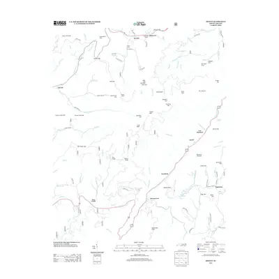 2013 Hewitt2013 Print · USGSIn the early twenty-first century, this area of the North Carolina mountains preserves a landscape of high gaps and scattered valley settlements. Trace old road networks and family sites from Stecoah to Beechertown, or find natural landmarks like Queens Falls and Talc Mountain.
 - 2013 Map of Wesser, 2013 Print
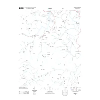 2013 Wesser2013 Print · USGSSwain County's mountain landscape is surveyed here just after the turn of the millennium, centered on the Little Tennessee River and Fontana Lake. Genealogists and hikers can trace the terrain around Wesser Bald Lookout, the Wesser Creek Shelter, and the small community of Almond.
 - 2013 Map of Noland Creek, 2013 Print
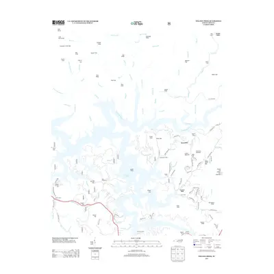 2013 Noland Creek2013 Print · USGSThe Great Smoky Mountains meet the winding shores of Fontana Lake in this early twenty-first-century survey of Swain County. Researchers can locate local landmarks like Carson Mill and Roundhill or trace the many inlets of the Tuckasegee River.
 - 2013 Map of Tapoco, 2013 Print
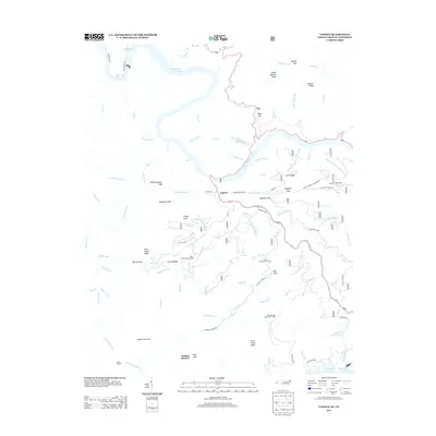 2013 Tapoco2013 Print · USGSThe North Carolina-Tennessee state line divides this high-elevation landscape in the early twenty-first century as modern roads trace old mountain routes. Researchers can locate family landmarks and historic transit points like Farley Branch Cemetary Rd, Deals Gap, and Mt View School Rd.
 - 2013 Map of Andrews, 2013 Print
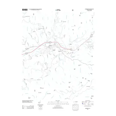 2013 Andrews2013 Print · USGSWestern North Carolina's mountain valleys are captured in the early twenty-first century, centered on the confluence of the Valley River and Junaluska Cr. Researchers can locate historic communities like Valleytown and Rhodo, or trace the rugged geography of Leatherwood Mountain and Collett Ridge.
Showing maps 1-25 of 56
Top cities of Graham County
Frequently asked questions
- What are the different types of historical maps available for Graham County?
- What is the oldest map of Graham County?
- Where can I purchase historical maps of Graham County for my home or office?
- Where can I download high-res historical maps of Graham County?
- Are there historical topographic maps available for Graham County?
- Is there historical aerial imagery available for Graham County?
- Where are historical maps of Graham County sourced from?