2000s (21st Century) Maps of Mountain Home, North Carolina
Explore 20 historic maps of Mountain Home from the 2000s (21st Century). These maps offer a rare glimpse into what life looked like during the 2000s — showing old roads, neighborhoods, homes, and landmarks that have changed or disappeared over time.
Whether you're researching your family's past, planning a metal detecting trip, or studying how Mountain Home's landscape evolved across the 2000s, these high-resolution maps are a powerful tool for exploring the history of this region.
- Focus on a specific era: All maps on this page are from the 2000s, giving you a focused view of this time period.
- See what’s changed: Compare century-old streets, trails, and buildings to today's modern landscape using overlays and satellite layers.
- Research with precision: Use these maps for genealogy, historical research, land use analysis, or educational projects.
- View, download, or print: Maps are fully viewable online in high resolution, and can be downloaded or printed for your own records.
Start exploring Mountain Home's history through authentic maps from the 2000s. This is your window into the past.
Mountain Home, NC maps
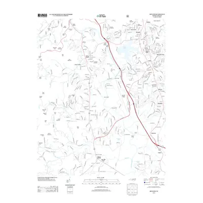
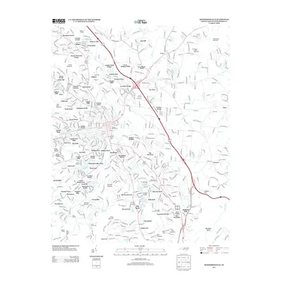
(20)- 2010 Map of Hendersonville, 2010 Print
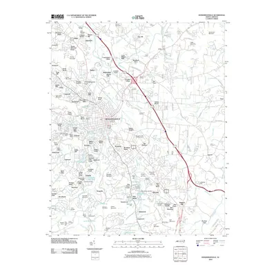 2010 Hendersonville2010 Print · USGSCovers Mountain Home, including Hendersonville, Flat Rock, and other nearby areas
 - 2010 Map of Fruitland, 2010 Print
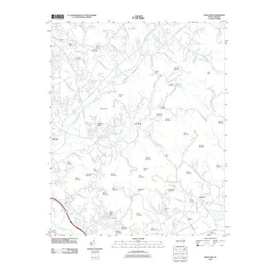 2010 Fruitland2010 Print · USGSCovers Mountain Home, including Fletcher, Fruitland, and other nearby areas
 - 2011 Map of Horse Shoe, 2011 Print
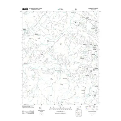 2011 Horse Shoe2011 Print · USGSCovers Mountain Home, including Hendersonville, Mills River, and other nearby areas
 - 2011 Map of Skyland, 2011 Print
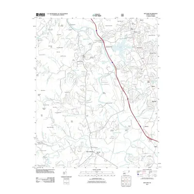 2011 Skyland2011 Print · USGSCovers Mountain Home, including Asheville, Fletcher, and other nearby areas
 - 2013 Map of Skyland, 2013 Print
 2013 Skyland2013 Print · USGSCovers Mountain Home, including Asheville, Fletcher, and other nearby areas
 - 2013 Map of Horse Shoe, 2013 Print
 2013 Horse Shoe2013 Print · USGSCovers Mountain Home, including Hendersonville, Mills River, and other nearby areas
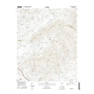
 - 2013 Map of Fruitland, 2013 Print
 2013 Fruitland2013 Print · USGSCovers Mountain Home, including Fletcher, Fruitland, and other nearby areas
 - 2013 Map of Hendersonville, 2013 Print
 2013 Hendersonville2013 Print · USGSCovers Mountain Home, including Hendersonville, Flat Rock, and other nearby areas
 - 2016 Map of Horse Shoe, 2016 Print
 2016 Horse Shoe2016 Print · USGSCovers Mountain Home, including Hendersonville, Mills River, and other nearby areas
 - 2016 Map of Hendersonville, 2016 Print
 2016 Hendersonville2016 Print · USGSCovers Mountain Home, including Hendersonville, Flat Rock, and other nearby areas
 - 2016 Map of Skyland, 2016 Print
 2016 Skyland2016 Print · USGSCovers Mountain Home, including Asheville, Fletcher, and other nearby areas
 - 2016 Map of Fruitland, 2016 Print
 2016 Fruitland2016 Print · USGSCovers Mountain Home, including Fletcher, Fruitland, and other nearby areas
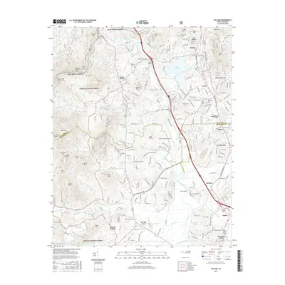
 - 2019 Map of Horse Shoe, 2019 Print
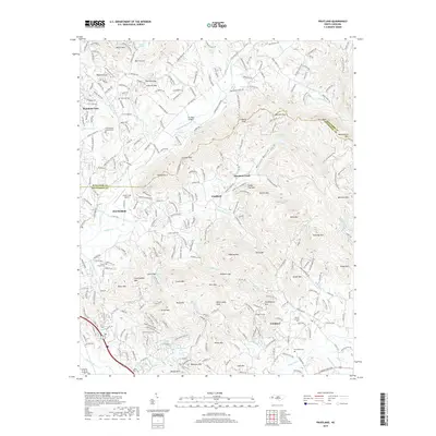
 2019 Horse Shoe2019 Print · USGSCovers Mountain Home, including Hendersonville, Mills River, and other nearby areas
 - 2019 Map of Fruitland, 2019 Print
 2019 Fruitland2019 Print · USGSCovers Mountain Home, including Fletcher, Fruitland, and other nearby areas
 - 2019 Map of Skyland, 2019 Print
 2019 Skyland2019 Print · USGSCovers Mountain Home, including Asheville, Fletcher, and other nearby areas
 - 2019 Map of Hendersonville, 2019 Print
 2019 Hendersonville2019 Print · USGSCovers Mountain Home, including Hendersonville, Flat Rock, and other nearby areas
 - 2022 Map of Fruitland, 2022 Print
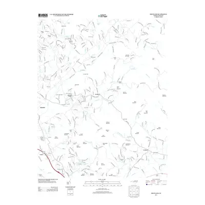
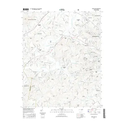
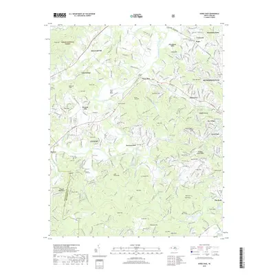
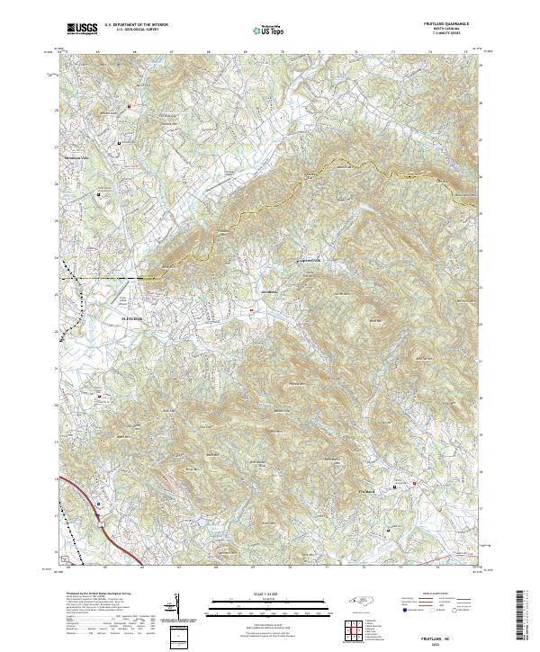 2022 Fruitland2022 Print · USGSThe high ridges and deep valleys of Henderson County are captured here in the early twenty-first century. Researchers can trace family history through sites like Fruitland Cem, Patty's Chapel, and the heights of Bearwallow Mtn.
 - 2022 Map of Hendersonville, 2022 Print
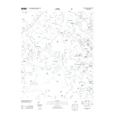
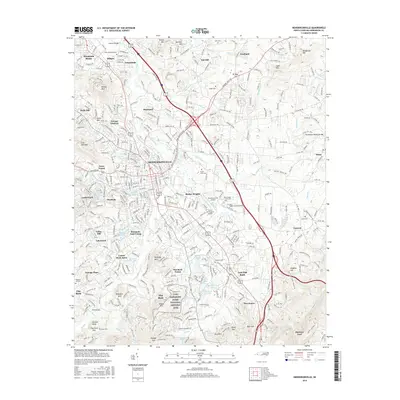
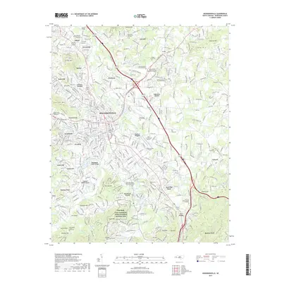
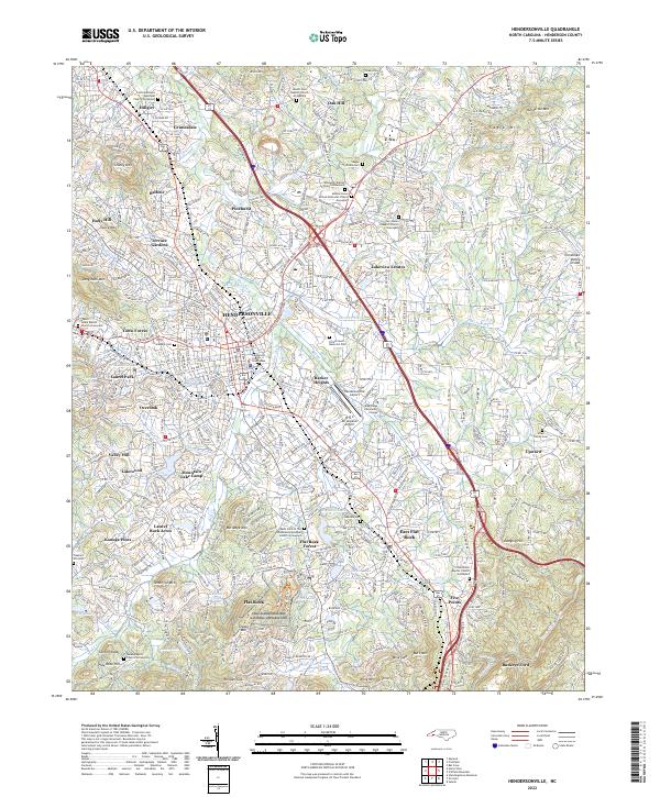 2022 Hendersonville2022 Print · USGSHendersonville and the Blue Ridge foothills are captured in detail during this period of modern growth. Genealogists and local historians can trace family sites at Saint John in the Wilderness or explore the grounds of the Carl Sandburg Home.
 - 2022 Map of Skyland, 2022 Print
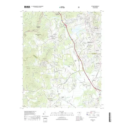
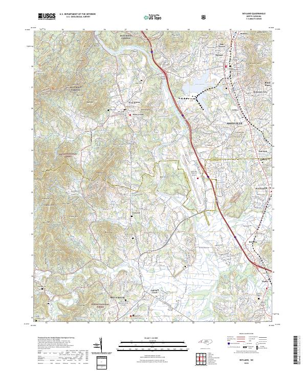 2022 Skyland2022 Print · USGSThe French Broad River valley south of Asheville shows a blend of mountain wilderness and suburban growth in the early 2020s. Genealogists can locate family landmarks like the Sitton Gillespie Cem, Hunter Cem, and the Christ School.
 - 2023 Map of Horse Shoe, 2023 Print
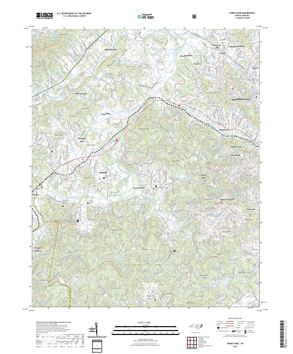 2023 Horse Shoe2023 Print · USGSHenderson County south of Asheville is captured here in the early twenty-first century, showing the growing communities along the French Broad River. Researchers can trace local lineage through several graveyards, including Justus Cem, McCarson Cem, and Sentell Cem.
End of results
Showing maps 1-20 of 20
Top cities near Mountain Home
- Asheville historical maps
- Hendersonville historical maps
- Black Mountain historical maps
- Fletcher historical maps
- Brevard historical maps
- Mills River historical maps
See more
Top neighborhoods of Mountain Home
Frequently asked questions
- What are the different types of historical maps available for Mountain Home?
- What is the oldest map of Mountain Home?
- Where can I purchase historical maps of Mountain Home for my home or office?
- Where can I download high-res historical maps of Mountain Home?
- Are there historical topographic maps available for Mountain Home?
- Is there historical aerial imagery available for Mountain Home?
- Where are historical maps of Mountain Home sourced from?