2020s Maps of Johnston County, North Carolina
Explore 23 historic maps of Johnston County from the 2020s. These maps offer a rare glimpse into what life looked like during the 2020s — showing old roads, neighborhoods, homes, and landmarks that have changed or disappeared over time.
Whether you're researching your family's past, planning a metal detecting trip, or studying how Johnston County's landscape evolved across the 2020s, these high-resolution maps are a powerful tool for exploring the history of this region.
- Focus on a specific era: All maps on this page are from the 2020s, giving you a focused view of this time period.
- See what’s changed: Compare century-old streets, trails, and buildings to today's modern landscape using overlays and satellite layers.
- Research with precision: Use these maps for genealogy, historical research, land use analysis, or educational projects.
- View, download, or print: Maps are fully viewable online in high resolution, and can be downloaded or printed for your own records.
Start exploring Johnston County's history through authentic maps from the 2020s. This is your window into the past.
Johnston County, NC maps
(23)- 2022 Map of Clayton, 2022 Print
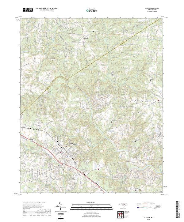 2022 Clayton2022 Print · USGSThe Clayton area of Johnston County is documented here in the early 2020s, showing the intersection of new growth and local heritage. Researchers can locate family sites at Maplewood Cem and Stephenson Cem or trace the river path past Yates Millpond.
 - 2022 Map of Grantham, 2022 Print
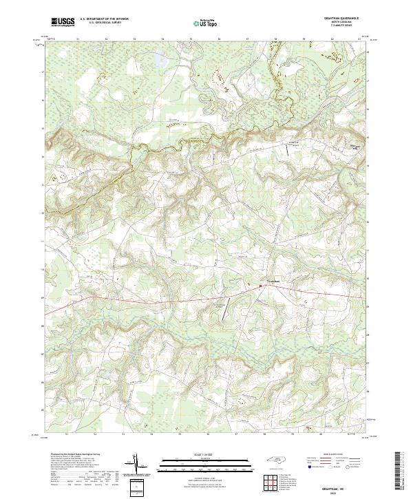 2022 Grantham2022 Print · USGSIn the early twenty-first century, this rural stretch of the Johnston and Wayne county line remains defined by its deep agricultural roots and the winding Neuse River. Researchers can trace local lineage through named landmarks like Stevens Mill or follow long-standing community connections along Selah Church Rd and Manley Grove Church Rd.
 - 2022 Map of Middlesex, 2022 Print
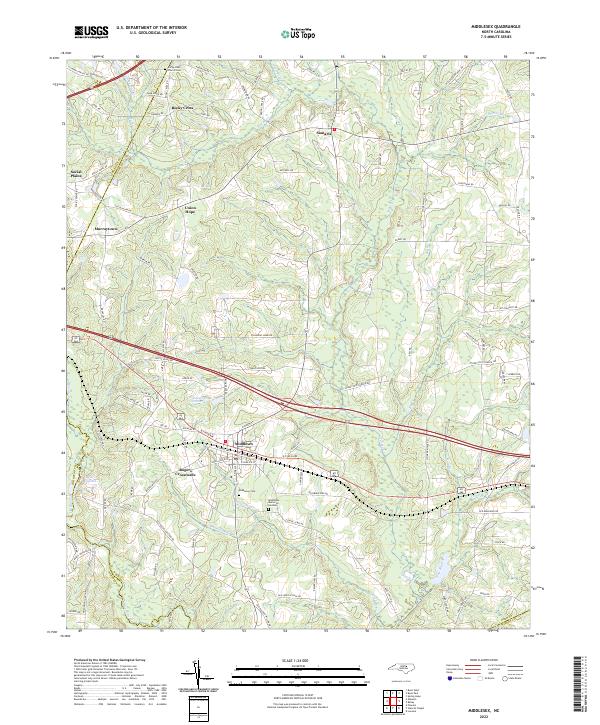 2022 Middlesex2022 Print · USGSMiddlesex and its rural Nash County surroundings are shown here in the early 2020s, highlighting a landscape of dispersed settlements and family-named landmarks. Researchers can trace local history through the Rocky Cross Church Cem, Taylors Millpond, and the community of Rogers Crossroads.
 - 2022 Map of Benson, 2022 Print
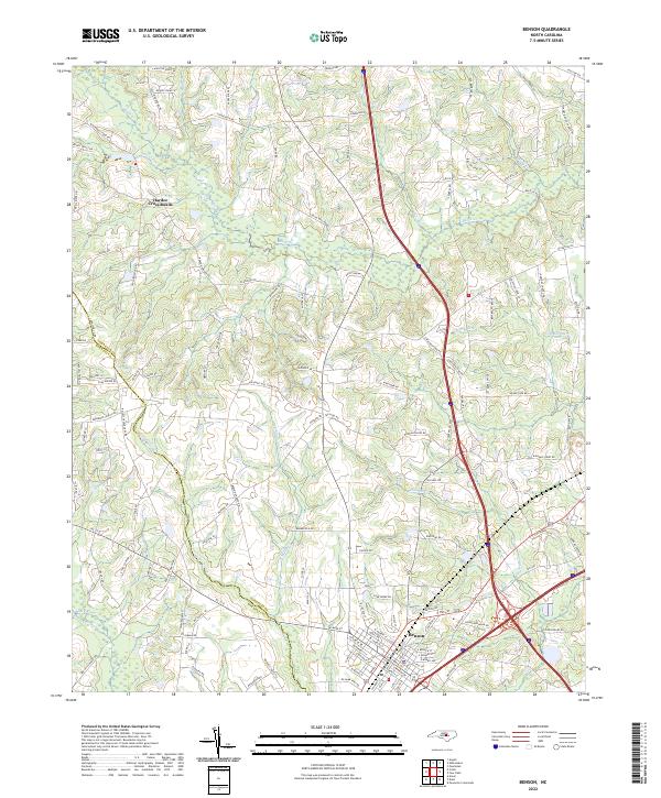 2022 Benson2022 Print · USGSBenson and its surrounding Johnston County farmland are captured here in the early twenty-first century, showing the town's growth alongside traditional rural crossroads. Genealogists and local historians can trace family-named landmarks like Lassiter Pond and the small community at Hardee Cross Roads.
 - 2022 Map of Coats, 2022 Print
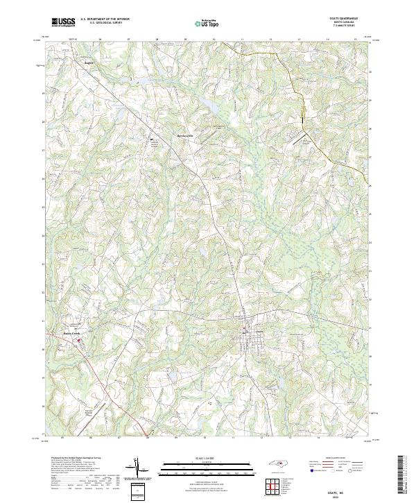 2022 Coats2022 Print · USGSHarnett County enters the 2020s as a blend of academic growth and rural tradition centered around Campbell University. Researchers can trace local genealogy and land use through sites like Johnson Cem, the crossroads at Barclaysville, and the waters of the Black River.
 - 2022 Map of Dunn, 2022 Print
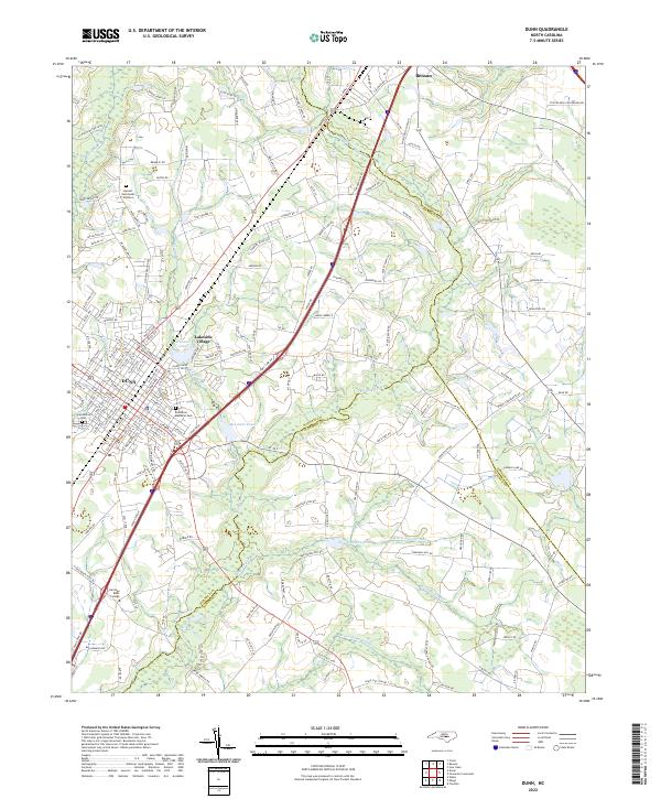 2022 Dunn2022 Print · USGSThe transition from the Piedmont to the Coastal Plain is evident in this recent look at Dunn and Benson. Researchers can trace the layout of local institutions like Heritage Bible College and community landmarks such as Greenwood Cem.
 - 2022 Map of Kenly West, 2022 Print
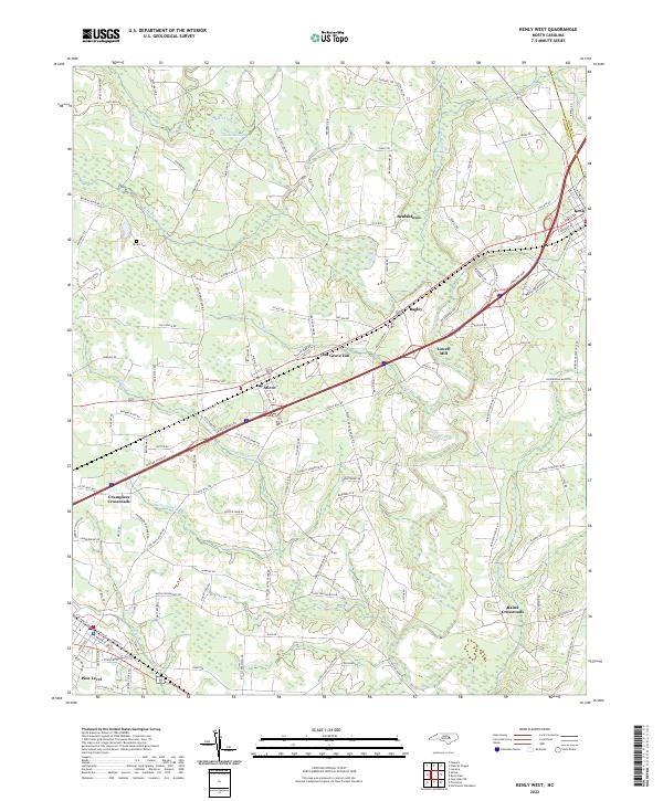 2022 Kenly West2022 Print · USGSJohnston County at the start of the 2020s shows a landscape of established crossroads and river-fed communities. Genealogists and local historians can trace the roads connecting Micro, Lowell Mill, and the Brown Cem across the Little River valley.
 - 2022 Map of Peacocks Crossroads, 2022 Print
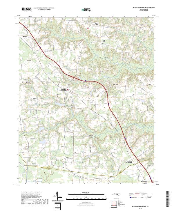 2022 Peacocks Crossroads2022 Print · USGSCoastal plain crossroads and swampy lowlands define this Johnston County landscape in the early twenty-first century. Researchers can trace rural family roots and landmarks from Lees Mill and Barefoot Cem to the unique terrain of The Dismal.
 - 2022 Map of Garner, 2022 Print
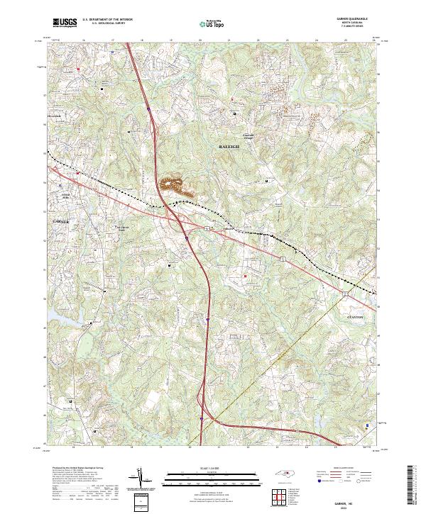 2022 Garner2022 Print · USGSThe Garner and Auburn corridor shows its modern residential character in this recent survey. Genealogists can locate family-named burial grounds like Turner Cem and Bagwell Cem or trace the Neuse River shoreline.
 - 2022 Map of Flowers, 2022 Print
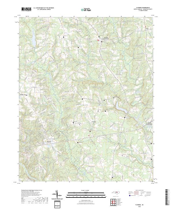 2022 Flowers2022 Print · USGSNorth Carolina's Johnston County landscape is documented here in the early 2020s, showing a blend of old rural crossroads and modern growth. Genealogists can trace numerous family-named landmarks including Hocutts Crossroads, Whitley Cem, and Hares Crossroads.
 - 2022 Map of Newton Grove North, 2022 Print
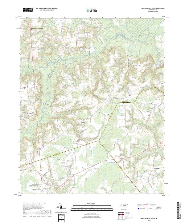 2022 Newton Grove North2022 Print · USGSNorth Carolina's coastal plain comes into focus in this recent survey of the rural landscape where Johnston, Sampson, and Wayne counties meet. Genealogists and local historians can trace family-named landmarks and old road networks connecting Strickland Crossroads, Harper, and the wetlands along Kill Swamp.
 - 2022 Map of Four Oaks NE, 2022 Print
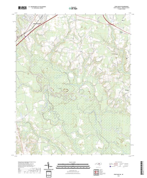 2022 Four Oaks NE2022 Print · USGSSettlements along the Neuse River basin in Johnston County show a blend of historic agricultural roots and modern expansion in the early 2020s. Researchers can trace local landmarks like Creeches Mill, the rural community of Brogden, and family-named sites such as Overby Cem.
 - 2022 Map of Kenly East, 2022 Print
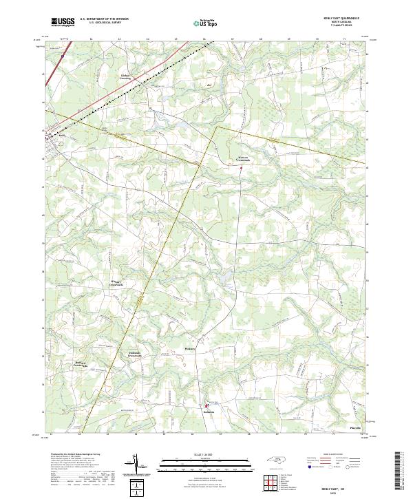 2022 Kenly East2022 Print · USGSThe rural borders of Wilson, Johnston, and Wayne Counties are captured here in the early twenty-first century. Genealogists and local historians can trace family-named sites like Kirbys Crossing, the Edgerton Cem, and the milling history at Sasser Millpond.
 - 2022 Map of Four Oaks, 2022 Print
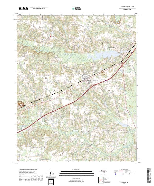 2022 Four Oaks2022 Print · USGSModern Johnston County meets its deep history in the 2020s near the town of Four Oaks. Genealogists and researchers can trace family landmarks like the Strickland Cem or study the legacy of local mills at Massengill Mill Pond.
 - 2022 Map of Edmondson, 2022 Print
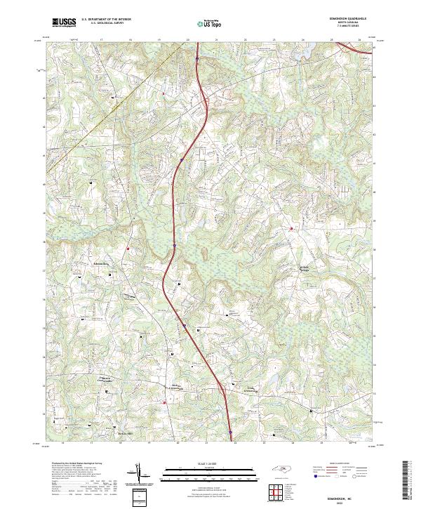 2022 Edmondson2022 Print · USGSThe Johnston and Wake County borderlands are mapped here in the early 2020s, showing a region of crossroads communities and deep family roots. Researchers can trace ancestral locations at the Nimrod Stephenson Memorial Cem or explore the geography near McGee Mill and Edmondson.
 - 2022 Map of Angier, 2022 Print
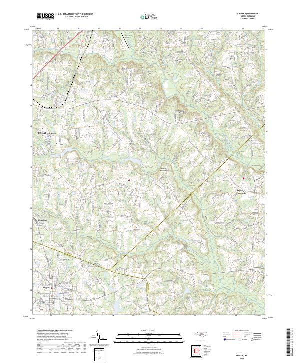 2022 Angier2022 Print · USGSThe intersection of Wake, Harnett, and Johnston counties comes alive in this modern survey of the North Carolina coastal plain. Local researchers can trace the growth of Angier and Fuquay-Varina while identifying long-standing rural points like Ogburn Crossroads and Kennebec.
 - 2022 Map of Powhatan, 2022 Print
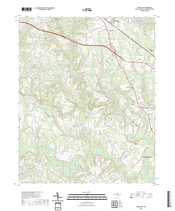 2022 Powhatan2022 Print · USGSThe corridor between Clayton and Smithfield comes into focus in this recent survey of Johnston County. Genealogists can trace family heritage at Piney Grove Cem and Poole Cem, or locate landmarks like Johnston Regional Airport.
 - 2022 Map of Knightdale, 2022 Print
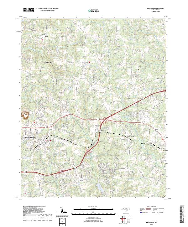 2022 Knightdale2022 Print · USGSEastern Wake County is captured here in the early 2020s, showing the continued growth of Knightdale and Wendell. Genealogists and local historians can trace the roads around Lizard Lick, Eagle Rock, and the Islamic Association of Raleigh Muslim Cem.
 - 2022 Map of Selma, 2022 Print
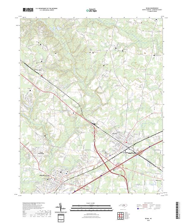 2022 Selma2022 Print · USGSNorth Carolina's Neuse River valley in the early 2020s shows a landscape where historic town centers meet modern growth. Genealogists can trace family landmarks like Vause Cem, Price Cem, and Walls Cem while mapping the areas around Smithfield and Selma.
 - 2022 Map of Northwest Goldsboro, 2022 Print
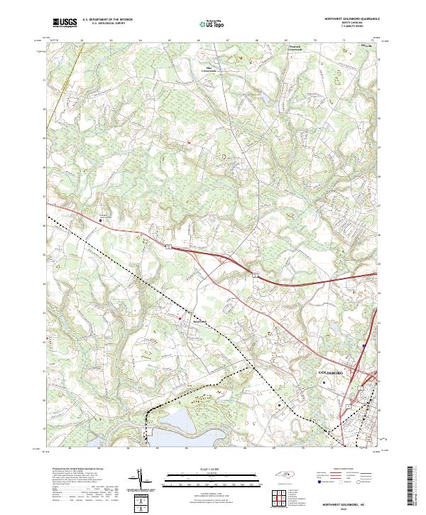 2022 Northwest Goldsboro2022 Print · USGSWestern Wayne County comes into focus in the early 2020s as modern residential growth meets its rural roots. Researchers can trace family sites near Evergreen Memorial Cem or follow the banks of the Little River and Neuse River.
 - 2022 Map of Princeton, 2022 Print
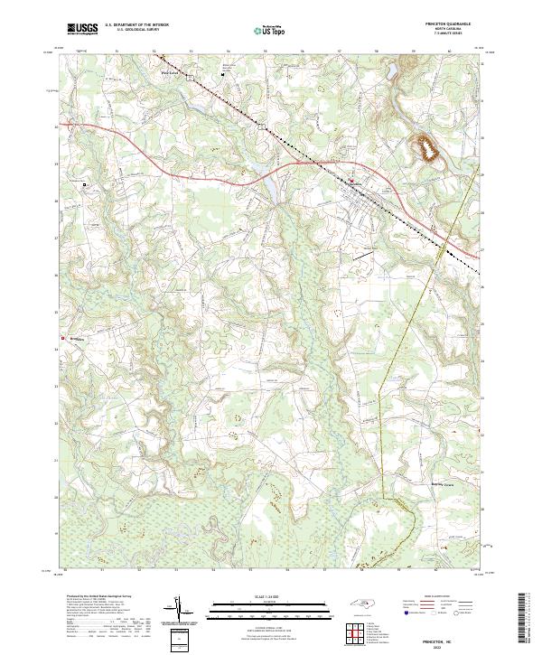 2022 Princeton2022 Print · USGSCoastal plain settlements and river lowlands southeast of Smithfield are documented in this recent survey. Local historians can trace family-named routes and landmarks from Pine Level down to the Neuse River, including Thompson Cem and Raynor Town.
 - 2022 Map of Stancils Chapel, 2022 Print
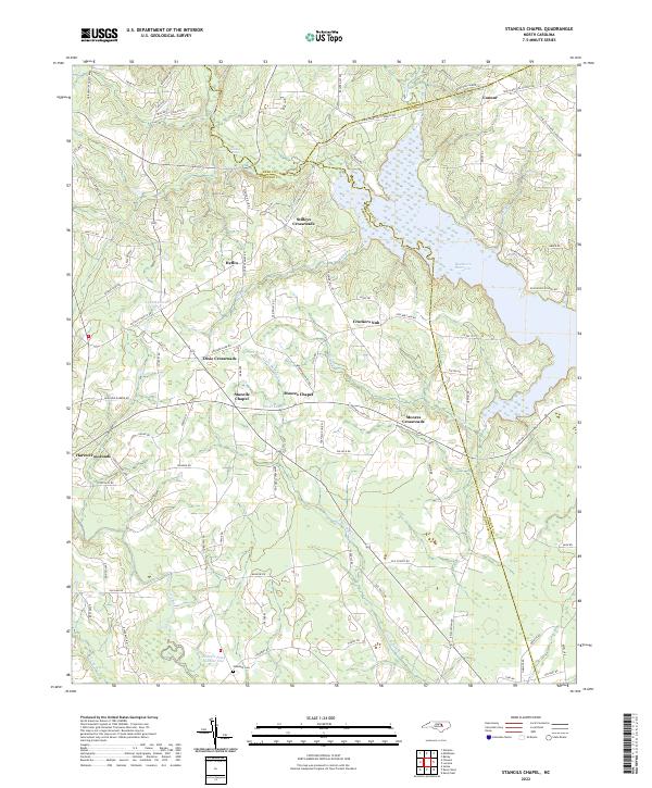 2022 Stancils Chapel2022 Print · USGSThe crossroads of Johnston and Wilson counties come into focus in the 2020s, revealing a landscape of rural chapels and reservoirs. Trace local heritage at Stancils Chapel, Shoeheel Cem, and the waters of Buckhorn Reservoir.
 - 2022 Map of Zebulon, 2022 Print
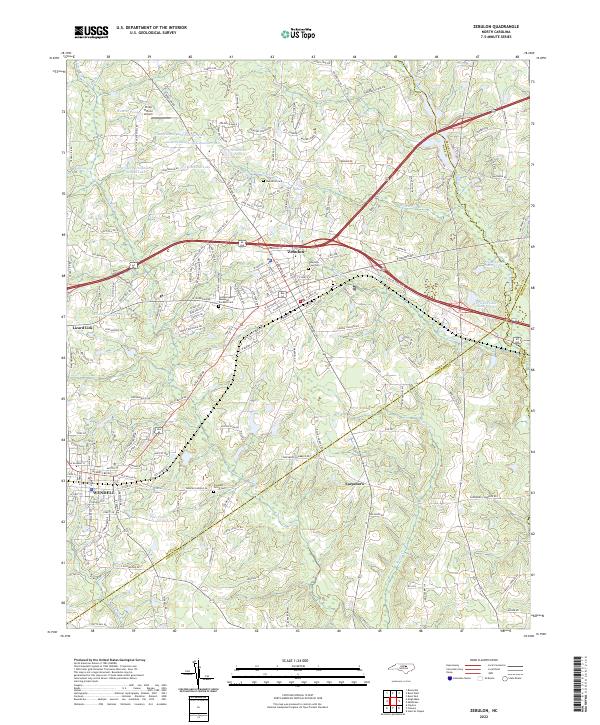 2022 Zebulon2022 Print · USGSWake County and Johnston County borders meet in this 2022 survey of the rapidly changing corridor between the growing towns of Zebulon and Wendell. Researchers can trace old family lines through Wakefield Cemetery, locate the site of Earpsboro, and explore the unique geography of Lizard Lick.
End of results
Showing maps 1-23 of 23
Top cities of Johnston County
- Clayton historical maps
- Smithfield historical maps
- Selma historical maps
- Benson historical maps
- Four Oaks historical maps
- Pine Level historical maps
See more
Frequently asked questions
- What are the different types of historical maps available for Johnston County?
- What is the oldest map of Johnston County?
- Where can I purchase historical maps of Johnston County for my home or office?
- Where can I download high-res historical maps of Johnston County?
- Are there historical topographic maps available for Johnston County?
- Is there historical aerial imagery available for Johnston County?
- Where are historical maps of Johnston County sourced from?