2000s (21st Century) Maps of Johnston County, North Carolina
Explore 116 historic maps of Johnston County from the 2000s (21st Century). These maps offer a rare glimpse into what life looked like during the 2000s — showing old roads, neighborhoods, homes, and landmarks that have changed or disappeared over time.
Whether you're researching your family's past, planning a metal detecting trip, or studying how Johnston County's landscape evolved across the 2000s, these high-resolution maps are a powerful tool for exploring the history of this region.
- Focus on a specific era: All maps on this page are from the 2000s, giving you a focused view of this time period.
- See what’s changed: Compare century-old streets, trails, and buildings to today's modern landscape using overlays and satellite layers.
- Research with precision: Use these maps for genealogy, historical research, land use analysis, or educational projects.
- View, download, or print: Maps are fully viewable online in high resolution, and can be downloaded or printed for your own records.
Start exploring Johnston County's history through authentic maps from the 2000s. This is your window into the past.
Johnston County, NC maps
(116)- 2002 Map of Garner, 2004 Print
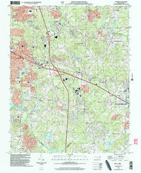 2002 Garner2004 Print · USGSGarner and southeast Raleigh are shown here just after the turn of the millennium as modern subdivisions began to surround traditional agricultural research lands. Researchers can trace family history through local landmarks like Hayes Chapel, Smith Cem, and the settlement of Auburn.
 - 2010 Map of Middlesex, 2010 Print
 2010 Middlesex2010 Print · USGSNash County at the start of the decade reveals a landscape of enduring crossroads communities and rural water systems. Genealogists and local researchers can trace family landmarks and historical sites from Underwoods Mill to Union Hope and Middlesex Cemetery.
 - 2010 Map of Benson, 2010 Print
 2010 Benson2010 Print · USGSBenson and its surrounding Johnston County farmland are shown here in the early 2000s as modern highway infrastructure meets rural heritage. Genealogists and local historians can trace family-named sites like Massengill Mill Pond Dam, Lassiter Pond, and the crossroads at Macks.
 - 2010 Map of Garner, 2010 Print
 2010 Garner2010 Print · USGSGarner and the southern Raleigh suburbs are shown here in the early twenty-first century as modern neighborhoods expand across old family lands. Genealogists and local historians can locate small family burial grounds like Sauls Cemetery and Mitchiner Cemetery or the sprawling NCSU Central Research Station.
 - 2010 Map of Four Oaks, 2010 Print
 2010 Four Oaks2010 Print · USGSFour Oaks and its surrounding Johnston County crossroads are captured here during a period of steady rural development. Genealogists and local historians can trace family landmarks and early infrastructure like Massengill Mill Pond, Strickland Cemetery, and Allens Crossroads.
 - 2010 Map of Clayton, 2010 Print
 2010 Clayton2010 Print · USGSClayton and its surrounding Johnston County communities are captured here in a period of suburban expansion. Genealogists and local historians can trace family plots and landmarks such as Maplewood Cemetery, the Pythian Home, and Baucoms Bridge along the Neuse River.
 - 2010 Map of Kenly West, 2010 Print
 2010 Kenly West2010 Print · USGSPine Level and the surrounding Johnston County communities are captured here in the late 2000s, showing a landscape defined by small-town centers and rural junctions. Trace local history through landmarks like Lowell Mill, Oak Grove Inn, and the winding course of the Little River.
 - 2010 Map of Flowers, 2010 Print
 2010 Flowers2010 Print · USGSJohnston County crossroads and family-held lands are well-documented at the start of the 2010s. Researchers can trace local lineages through Hares Crossroads, Archer Lodge, and dozens of burial sites like Fairview Cemetery and Price Cemetery.
 - 2010 Map of Newton Grove North, 2010 Print
 2010 Newton Grove North2010 Print · USGSNorth Carolina's rural landscape comes into focus in this late-2000s survey of the areas surrounding the Bentonville Battleground. Genealogists and local historians can trace family-named roads and rural settlements like Strickland Crossroads and Starlight.
 - 2010 Map of Coats, 2010 Print
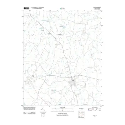 2010 Coats2010 Print · USGSHarnett County enters the twenty-first century with its rural heritage and water-managed landscapes intact. Genealogists and local historians can trace family locations near Johnson Cemetery, follow the path of the Black River, or locate the historic site of Barclaysville.
 - 2010 Map of Zebulon, 2010 Print
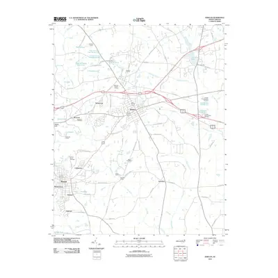 2010 Zebulon2010 Print · USGSEastern Wake County at the turn of the millennium shows a landscape of growing residential communities and longstanding rural outposts. Genealogists and local historians can trace family-named sites like Wakefield Cemetery or locate old crossroads like Lizard Lick and Earpsboro.
 - 2010 Map of Kenly East, 2010 Print
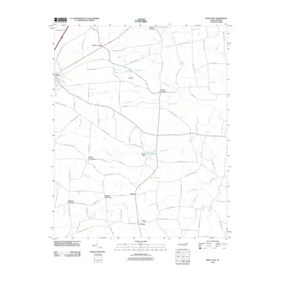 2010 Kenly East2010 Print · USGSCoastal plain farmland and swamp drainage networks define this corner of Johnston County during the early 2000s. Genealogists and local historians can trace family-named landmarks and rural hubs such as Edgerton Cemetery, Hickory Crossroads, and Pinkney.
 - 2010 Map of Angier, 2010 Print
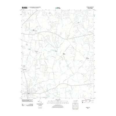 2010 Angier2010 Print · USGSThe crossroads and creeks between Fuquay-Varina and Angier are captured here during a period of steady rural growth. Researchers can trace family-named landmarks and small communities like Willow Springs, Ogburn Crossroads, and the aviation history at Triple W Air Park.
 - 2010 Map of Selma, 2010 Print
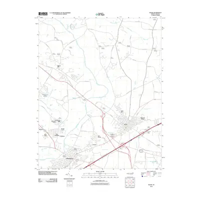 2010 Selma2010 Print · USGSSelma and Smithfield are captured here in the early 2000s, showing a landscape defined by the Neuse River and a complex web of family history. Genealogists can trace numerous legacy sites like Henry Cemetery, Vause Cemetery, and the Selma Memorial Gardens.
 - 2010 Map of Powhatan, 2010 Print
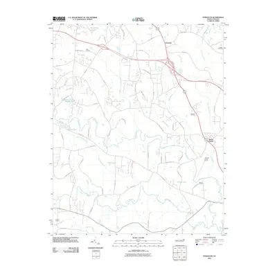 2010 Powhatan2010 Print · USGSCoastal plain settlements and aviation history intersect in Johnston County at the start of the decade. Genealogists and local historians can trace family ties at Poole or Knollwood Cemetery, and locate the Johnston County Airport near Whitley Heights.
 - 2010 Map of Dunn, 2010 Print
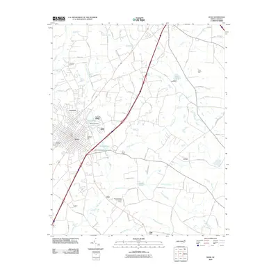 2010 Dunn2010 Print · USGSDunn and the surrounding Harnett County lowlands are captured here in 2010, showing the evolution of the city and its rural outskirts. Researchers can locate established sites like Greenwood Cemetery, Plain View, and the Young Lookout Tower.
 - 2010 Map of Northwest Goldsboro, 2010 Print
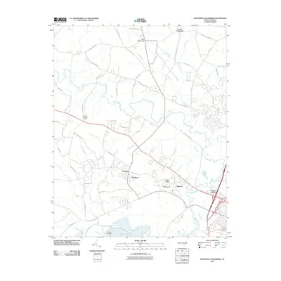 2010 Northwest Goldsboro2010 Print · USGSThe rural and residential landscape northwest of Goldsboro is shown here in the years following the millennium. Genealogists and local historians can trace family-named crossroads and landmarks like Peacock Crossroads, Evergreen Memorial Cemetery, and Quaker Neck Lake.
 - 2010 Map of Stancils Chapel, 2010 Print
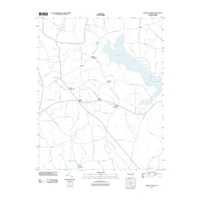 2010 Stancils Chapel2010 Print · USGSJohnston County’s rural crossroads and water-bound landscape are captured here in the early twenty-first century. Researchers can trace family history through sites like Shoeheel Cemetery and community hubs at Stancils Chapel or Moores Crossroads.
 - 2010 Map of Princeton, 2010 Print
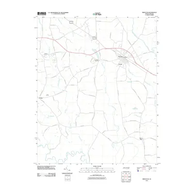 2010 Princeton2010 Print · USGSEastern Johnston County thrives around the Neuse River and Princeton in the early twenty-first century. Genealogists and local historians can trace family markers like Thompson Cemetery, the rural community of Raynor Town, and landmarks such as the Holts Mill Pond Dam.
 - 2010 Map of Edmondson, 2010 Print
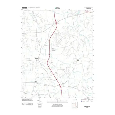 2010 Edmondson2010 Print · USGSJohnston County at the turn of the millennium shows a landscape where rural crossroads and family lineages remain deeply etched into the geography. Researchers can trace historic burial grounds like Leech Cemetery and Ennis Cemetery alongside landmarks like McGee Mill.
 - 2010 Map of Grantham, 2010 Print
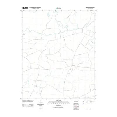 2010 Grantham2010 Print · USGSCoastal plain farmland and river bottomlands define the Grantham area during the early twenty-first century. Researchers can trace the heritage of local industry and transit through landmarks like Cox Mill, Sylvania Lake Dam, and the crossings of the Neuse River.
 - 2010 Map of Peacocks Crossroads, 2010 Print
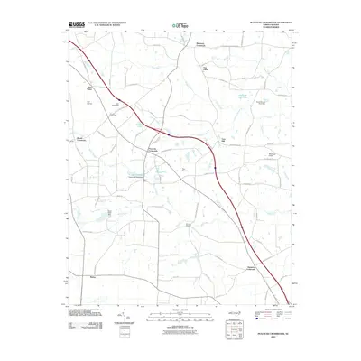 2010 Peacocks Crossroads2010 Print · USGSSampson County at the turn of the decade is defined by a dense network of rural crossroads and family-run lands. Genealogists and local historians can trace legacy sites like Barefoot Cemetery, Lees Mill, and the many hamlets like Peacocks Crossroads.
 - 2010 Map of Knightdale, 2010 Print
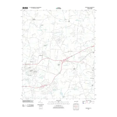 2010 Knightdale2010 Print · USGSEastern Wake County at the start of the 2010s shows a landscape of growing suburbs meeting traditional North Carolina crossroads. Researchers can trace the layout of small communities like Lizard Lick and Eagle Rock, alongside landmarks like Lake Myra and the Wendell-Knightdale Airport.
 - 2010 Map of Four Oaks NE, 2010 Print
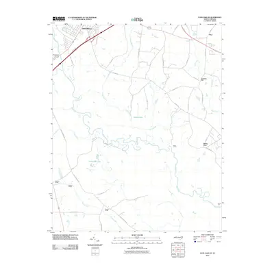 2010 Four Oaks NE2010 Print · USGSCoastal plain farmland and river bottoms define this Johnston County landscape during the early 21st century. Genealogists and local historians can trace family-named roads and landmarks like Creeches Mill, Pierce's Ferry, and the crossings at Barefoot Bridge.
 - 2013 Map of Stancils Chapel, 2013 Print
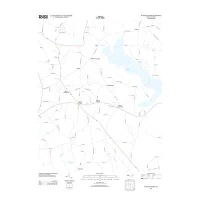 2013 Stancils Chapel2013 Print · USGSJohnston County’s rural landscape is captured here in the early twenty-first century, centered on the community of Heflin and the waters of Buckhorn Reservoir. Researchers can trace local lineage through several crossroads and landmarks, including Stancils Chapel, Dixie Crossroads, and the settlement of Shoeheel.
Showing maps 1-25 of 116
Top cities of Johnston County
- Clayton historical maps
- Smithfield historical maps
- Selma historical maps
- Benson historical maps
- Four Oaks historical maps
- Pine Level historical maps
See more
Frequently asked questions
- What are the different types of historical maps available for Johnston County?
- What is the oldest map of Johnston County?
- Where can I purchase historical maps of Johnston County for my home or office?
- Where can I download high-res historical maps of Johnston County?
- Are there historical topographic maps available for Johnston County?
- Is there historical aerial imagery available for Johnston County?
- Where are historical maps of Johnston County sourced from?