2020s Maps of McDowell County, North Carolina
Explore 15 historic maps of McDowell County from the 2020s. These maps offer a rare glimpse into what life looked like during the 2020s — showing old roads, neighborhoods, homes, and landmarks that have changed or disappeared over time.
Whether you're researching your family's past, planning a metal detecting trip, or studying how McDowell County's landscape evolved across the 2020s, these high-resolution maps are a powerful tool for exploring the history of this region.
- Focus on a specific era: All maps on this page are from the 2020s, giving you a focused view of this time period.
- See what’s changed: Compare century-old streets, trails, and buildings to today's modern landscape using overlays and satellite layers.
- Research with precision: Use these maps for genealogy, historical research, land use analysis, or educational projects.
- View, download, or print: Maps are fully viewable online in high resolution, and can be downloaded or printed for your own records.
Start exploring McDowell County's history through authentic maps from the 2020s. This is your window into the past.
McDowell County, NC maps
(15)- 2022 Map of Glenwood, 2022 Print
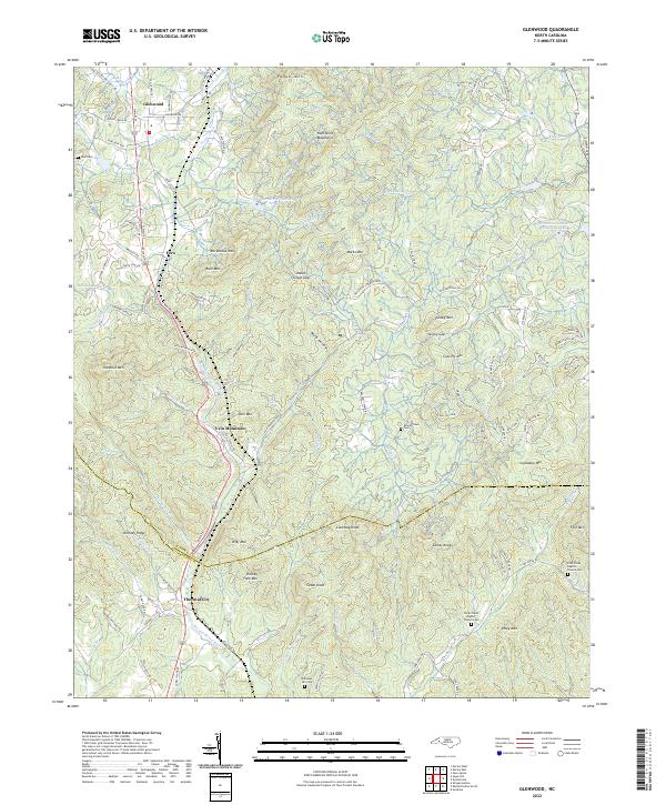 2022 Glenwood2022 Print · USGSThe McDowell and Rutherford county line follows the Second Broad River through this 2022 survey. Genealogists and historians can locate family landmarks like Neal Cem, Brackettown, and the Fork Creek Baptist Church Cem.
 - 2022 Map of Marion East, 2022 Print
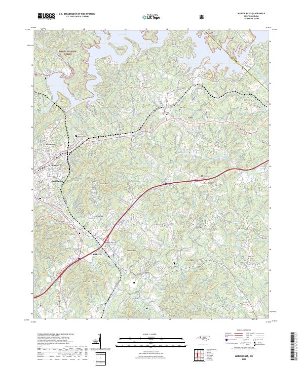 2022 Marion East2022 Print · USGSThe foothills of McDowell County are seen here in the early twenty-first century as the suburbs of MARION stretch toward the shoreline of Lake James. Local historians can trace family-named sites and rural landmarks like Oak Grove Cem, Nebo, and Clinchfield along the Catawba River.
 - 2022 Map of Ashford, 2022 Print
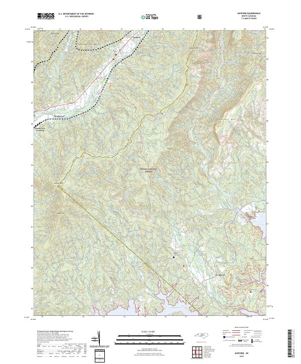 2022 Ashford2022 Print · USGSThe Burke and McDowell county line crosses this mountain landscape as it appeared in the early 2020s, anchored by the rugged Linville Gorge and Lake James. Genealogists and hikers can trace historical connections at Oak Grove Baptist Church/Cem and the Overmountain Victory National Historic Trl.
 - 2022 Map of Linville Falls, 2022 Print
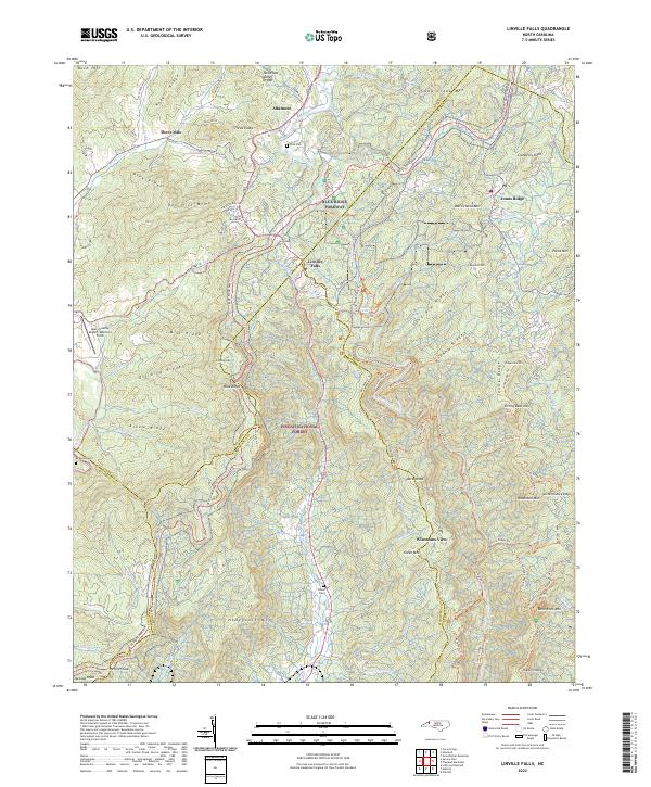 2022 Linville Falls2022 Print · USGSThe Blue Ridge highlands come into focus in this contemporary survey, centering on the descent of the Linville River and the small settlements of Altamont and Linville Falls. Researchers can trace family plots like Wise Cem or follow the path of the Blue Ridge Pkwy past Wisemans View.
 - 2022 Map of Dysartsville, 2022 Print
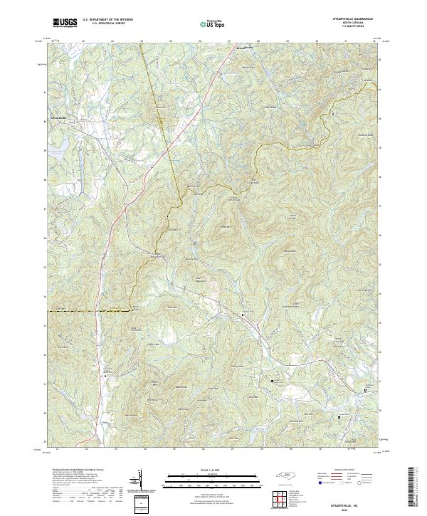 2022 Dysartsville2022 Print · USGSThe tri-county junction of Burke, McDowell, and Rutherford comes alive in this 2020s survey of the South Mountains. Genealogists can locate family landmarks like Cane Creek Baptist Church Cem, Fortune Cem, and the settlement of Dysartsville.
 - 2022 Map of Glen Alpine, 2022 Print
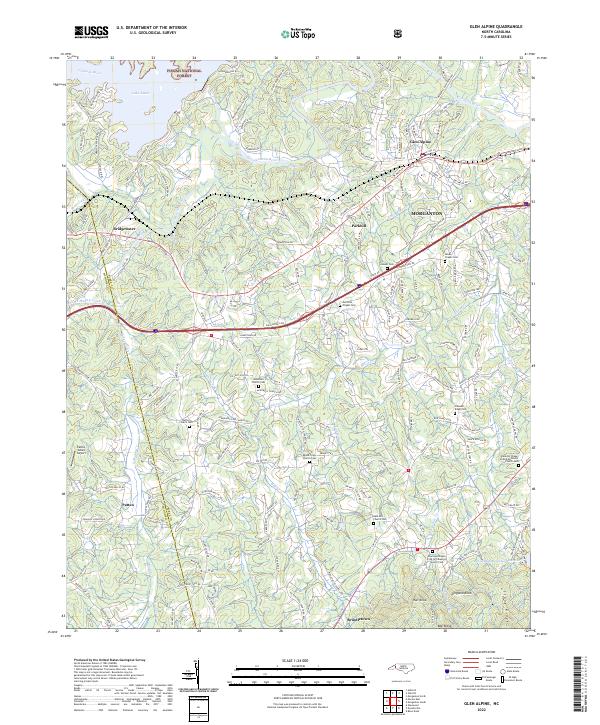 2022 Glen Alpine2022 Print · USGSThe Catawba River valley near Morganton comes into focus in this recent survey of Burke County. Genealogists can trace family connections at Bethel Church Cem, McElrath Chapel Cem, and the historic Brindletown area.
 - 2022 Map of Marion West, 2022 Print
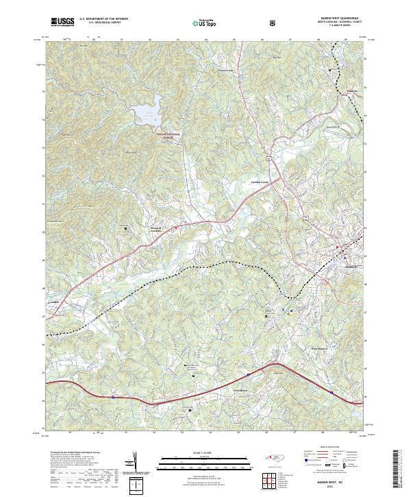 2022 Marion West2022 Print · USGSMcDowell County's western reaches appear here in the early 2020s, showing the transition from the city of Marion into the Blue Ridge foothills. Researchers can trace family sites at Barnes Cem, locate the McDowell County Courthouse, or explore the rail corridor near Pleasant Gardens.
 - 2022 Map of Moffitt Hill, 2022 Print
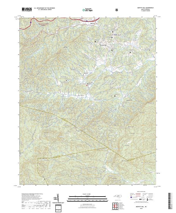 2022 Moffitt Hill2022 Print · USGSThe McDowell County highlands come into focus in the early 2020s, showing a landscape of scattered mountain settlements and historic churchyards. Genealogists can trace family names through the Davistown Cemetery or locate old community hubs like Lackey Town and Moffitt Hill.
 - 2022 Map of Celo, 2022 Print
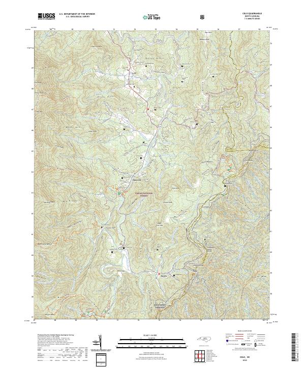 2022 Celo2022 Print · USGSThe high peaks and deep valleys of Yancey County are captured here during the 2020s, showing the settled gaps and ridges along the South Toe River. Genealogists and local historians can trace family ties at numerous mountain burial sites including Westall Cem, Autrey Cem, and Crisawn Cem.
 - 2022 Map of Montreat, 2022 Print
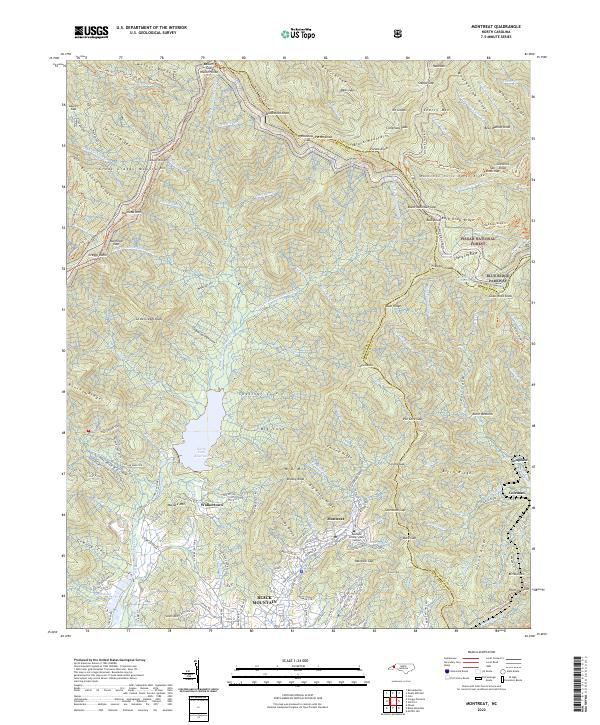 2022 Montreat2022 Print · USGSMontreat and Black Mountain are shown in the twenty-first century, positioned where high peaks meet established valley communities. Researchers can trace the boundaries of the Pisgah National Forest, the Montreat College Main Campus, and the North Fork Reservoir.
 - 2022 Map of Black Mountain, 2022 Print
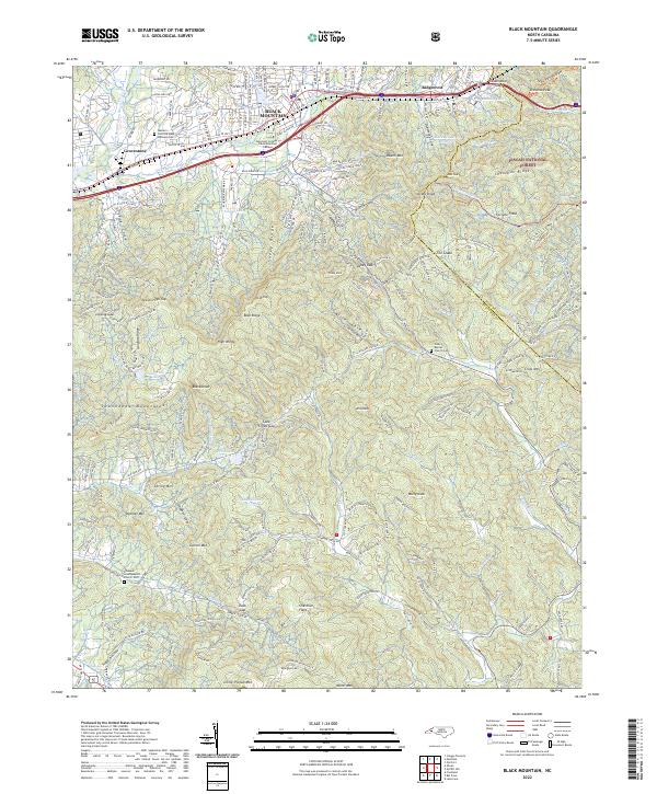 2022 Black Mountain2022 Print · USGSThe eastern Continental Divide is captured here in the early 2020s, showing the high-elevation development between the Swannanoa and Blue Ridge ranges. Genealogists and historians can locate landmarks like the Western Carolina State Veterans Cem and Wilkey Baptist Church Cem among the peaks.
 - 2022 Map of Little Switzerland, 2022 Print
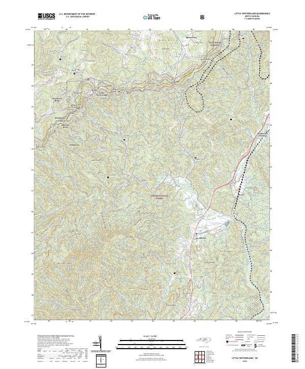 2022 Little Switzerland2022 Print · USGSThe High Country around Little Switzerland is shown in detail during the early 2020s, spanning the ridge between Mitchell and McDowell counties. Genealogists can locate family burial grounds like Hollifield Cem or Washburn Cem and trace historic routes through Gillespie Gap.
 - 2022 Map of Sugar Hill, 2022 Print
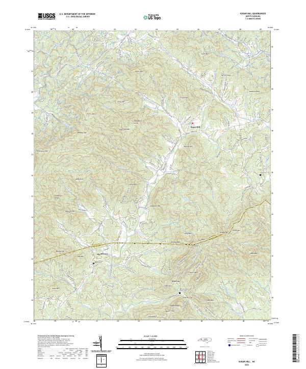 2022 Sugar Hill2022 Print · USGSThe foothills of the Blue Ridge come alive in this map of the McDowell and Rutherford County borderlands in the early 2020s. Researchers can pinpoint ancestral landmarks such as Montford Cove Church/Cem and trace the winding course of the Second Broad River near Sugar Hill.
 - 2022 Map of Old Fort, 2022 Print
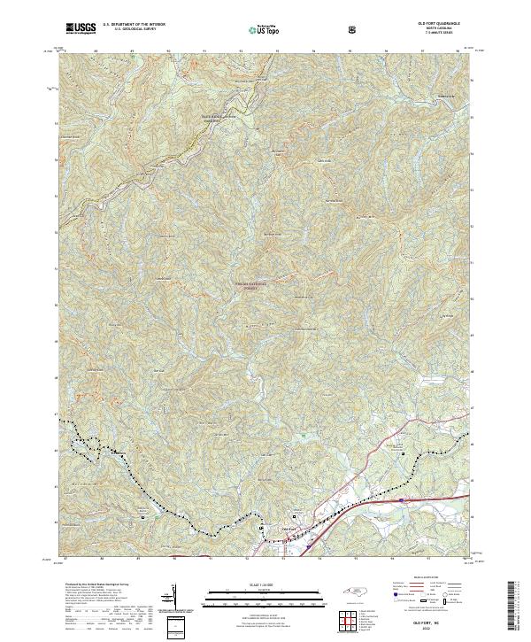 2022 Old Fort2022 Print · USGSThe mountain gateway of Old Fort and the Pisgah National Forest are shown here in the 2020s. Researchers can locate Ebenezer United Methodist Church Cem, Sunnyvale, and the Mountains to Sea Trail.
 - 2022 Map of Spruce Pine, 2022 Print
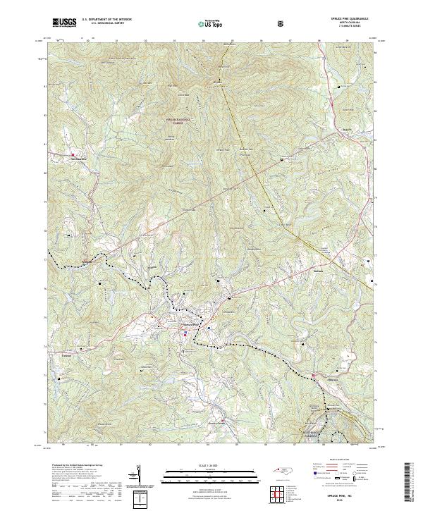 2022 Spruce Pine2022 Print · USGSSpruce Pine and its surrounding Appalachian mountain communities are documented here in the early twenty-first century, showing the enduring impact of the river and rail on the terrain. Researchers can locate family heritage at Spruce Pine Memorial Cem or trace the winding path of the Clinchfield RR through Altapass.
End of results
Showing maps 1-15 of 15
Top cities of McDowell County
Frequently asked questions
- What are the different types of historical maps available for McDowell County?
- What is the oldest map of McDowell County?
- Where can I purchase historical maps of McDowell County for my home or office?
- Where can I download high-res historical maps of McDowell County?
- Are there historical topographic maps available for McDowell County?
- Is there historical aerial imagery available for McDowell County?
- Where are historical maps of McDowell County sourced from?